Trip report
The Tripyramids Loop Hike
Hiking/Walk DATE: 05/13/2012 - 05/13/2012
Trip/Event Location: Waterville Valley, NH
US
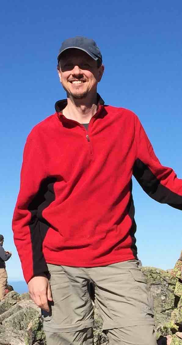
Trip Leader(s): shep5
Max # People: 10
Trip Guiding / Event Fee: No, I will not be asking participants for money
Difficulty Level: Strenuous
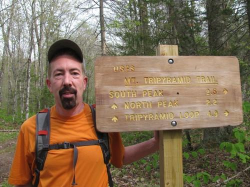
Join me on this classic 11-mile loop that tags the summit of all three Tripyramids - North (4180'), Middle (4140') and South (4100'). The Tripyramids are best known for their slides, exposed
...The parking area for the Livermore Road Trailhead can be reached off of West Branch Road near Tripoli Road. From Exit 28 of I-93, take NH Route 49 NE about 13 miles. At the entrance to the Waterville Valley complex, turn LEFT on the Mount Tecumseh ski area access road, fork RIGHT at 1.2 miles on Tripoli Road, after another 0.6 miles turn RIGHT on West Branch Road. Just across the bridge, turn LEFT on Livermore Road and immediately turn LEFT into the parking lot. Look for a grey Hyundai Elantra.
Trip Report/Photos

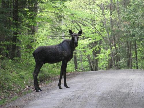
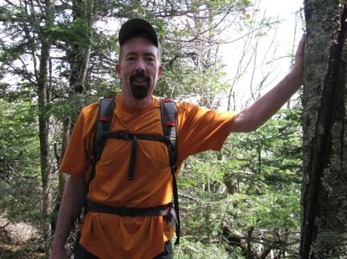
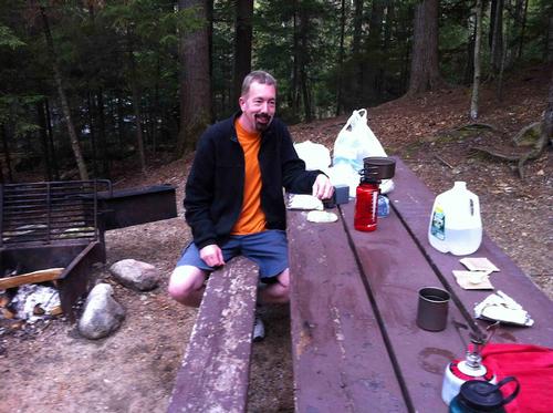
After a nice evening camping out at the Russell Pond Campground off Tripoli Road in Waterville Valley, Martin and I broke camp, had breakfast and headed east to the Livermore Trailhead. On the way we stopped for a moose in the road and tried unsuccessfully to pick up sandwiches for the hike in Waterville Valley. Anyway, we arrived at the trailhead at approximately 8:35AM and it was another beautiful sunny, warm day.
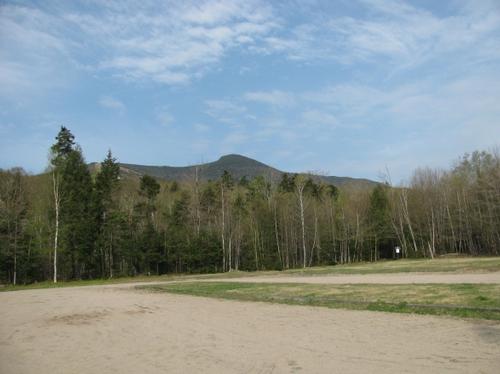
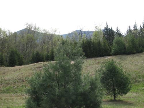
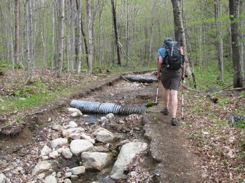
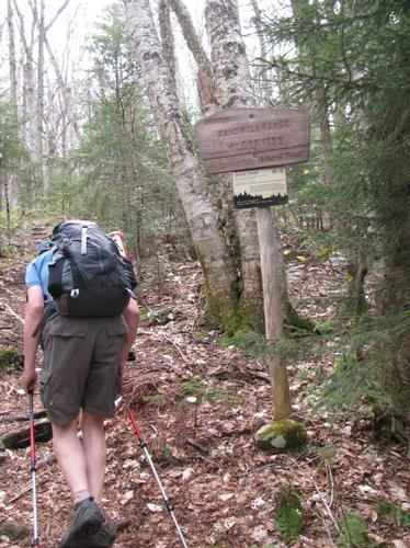
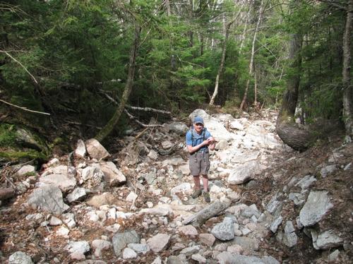
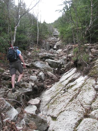
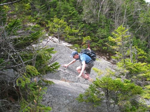
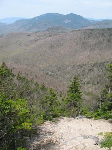
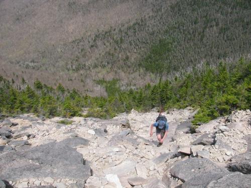
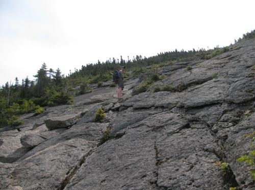
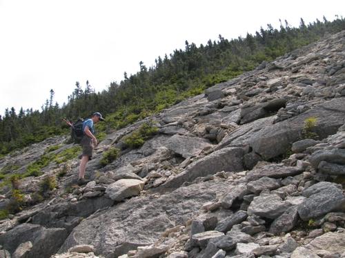
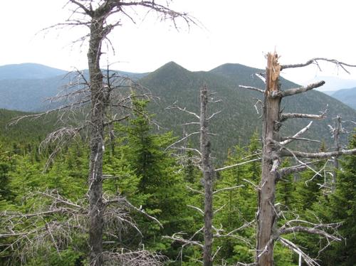
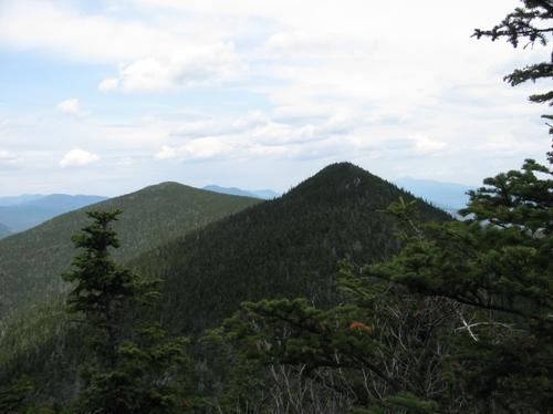
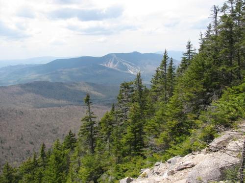
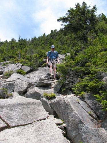
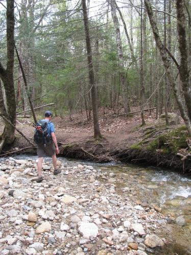
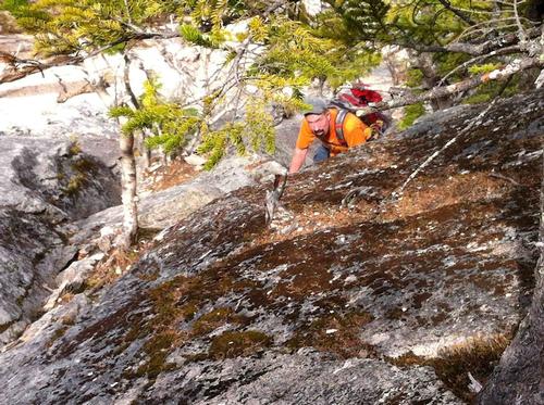
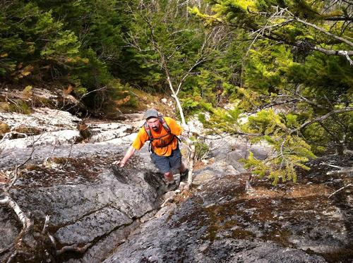
We got ready and set off for the classic 11-mile loop around the Tripyramids. This was a logging road walk for about the first 3.5 miles until we finally left the Livermore Trail, entering the Sandwich Range Wilderness, where the North Tripyramid Slide Trail began. It wasn't long before we reached the bottom of the slide. It was fairly narrow at first and widened as it climbed and became progressively steeper. We reached the bottom at about 10:20AM and we continued at a relatively slow pace over the 1.2 miles of exposed slide. As we got higher there were magnificient views over to the Osceolas and Waterville Valley Ski area...as well as a couple of views towards Mt. Washington and it's surronding peaks.
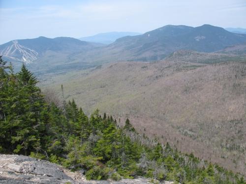
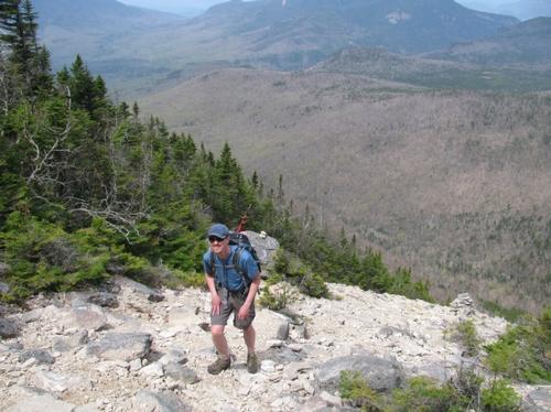
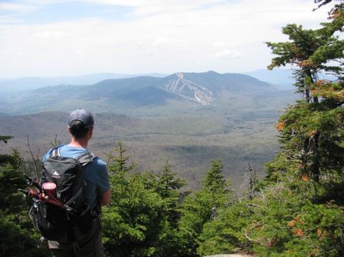
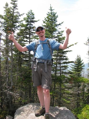
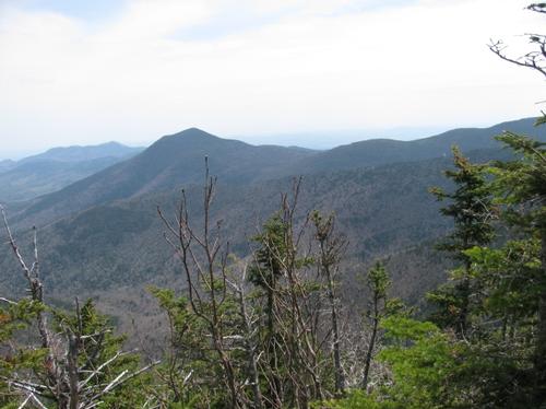
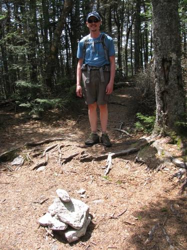
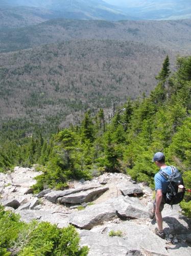
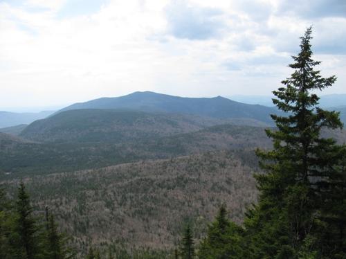
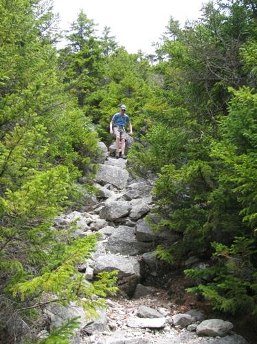
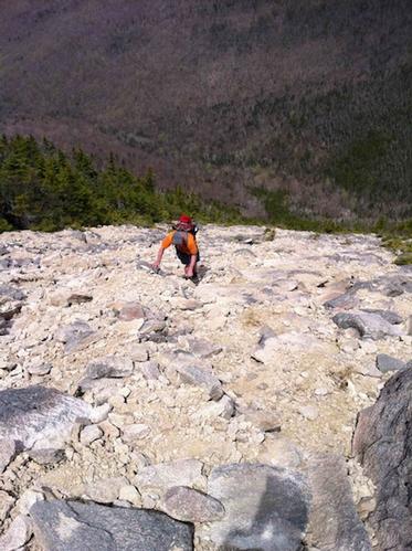
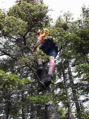
We finally reached the top of the slide and entered the woods below the summit at about 11:20 and it wasn't long before we were on the summit of the North Peak (4180'). Here we stopped to talk with a couple other hikers and we enjoyed a much deserved snack. The views south to the other peaks were obscurred by the trees, but I was able to climb up a slanted tree to get a better look. After our break, we continued over to the Middle Peak (4140') and we arrived at it's summit and ledge by about 12:15. The ledge provided views westward into Waterville Valley and the summit view is predominately eastward towards Mt. Passaconaway and Mt. Chocorua. From here we proceeded to the lower South Peak (4100') before descending towards the South Slide Trail. It was approximately a 12:45 when we reached the top of this slide with its views mostly southward to Jennings and Sandwich Dome. This slide was less steep but the descent was still slow due to the loose footing in spots.
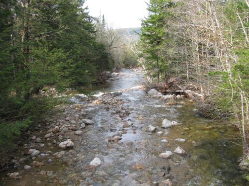
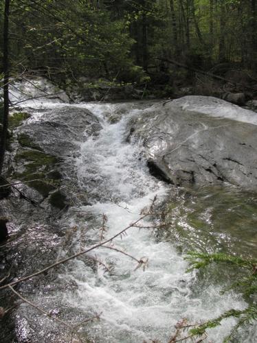
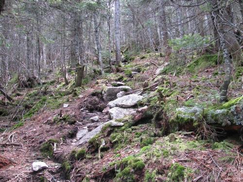
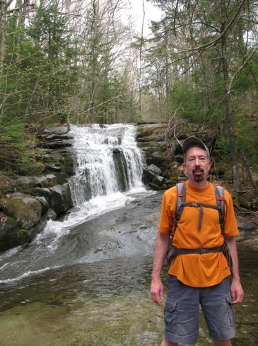
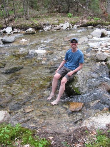
At the bottom of the slide the trail moderated in grade and meandered back towards the junction with the Livermore Road. Along the way we stopped by a really nice falls before following the trailside cascading brook back to the road. The walk back to the Livermore Trailhead parking lot took us about an hour...we were back to our cars by a little after 3PM.
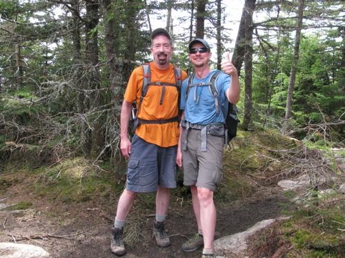
After the hike we headed to the Mad River Tavern in Campton for a light meal before calling it a day. While I've done this hike a number of times in the past, this was by far the best hike I've done around the Tripyramids (the valley had been fogged over or there were low-lying clouds in the past). For the dramatic slides and views this is always a great, fun hike. Thank you, Martin, for joining me on this one! This was a fantastic weekend of hiking and camping to kick off the season!
There are 39 photos in Album (Note: Move mouse pointer over larger pic and click on NEXT for better viewing)
What Members Are Saying About This Trip/Event
- Steve, thanks for leading another not-for-little-boys hike! The rock slides were an amazing experience. Two more 4000 footers out of the way (and many more to go). Thanks for your great companionship on this memorable hike! - wildcat
|
|
||