Trip report
Snake Mountain and Red Rock Pond Hike
Hiking/Walk DATE: 10/12/2009 - 10/12/2009
Trip/Event Location: Addison, VT
US
Trip Leader(s): shep5
Max # People: 10
Trip Guiding / Event Fee: No, I'm not making any money running this trip
Difficulty Level: Easy to Moderate
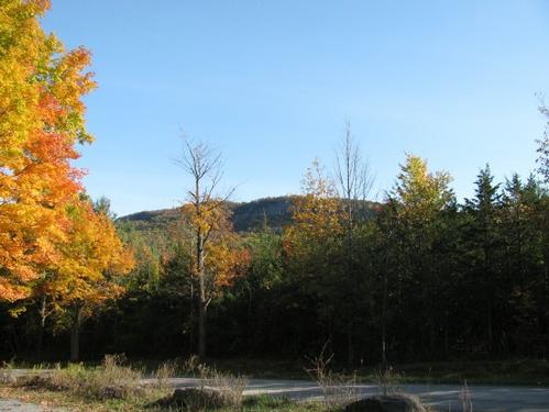
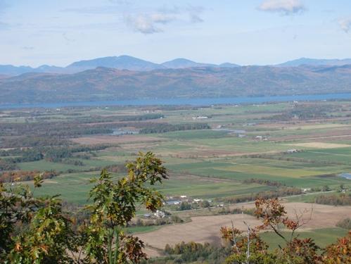
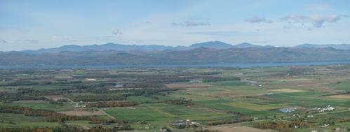
This is a 4.5-5 mile loop hike which climbs up to Snake Mountain (1287') where there are great views of the Champlain Valley. The descent is via a different route that goes by the lovely Red Rock Pond
...Trip Report/Photos
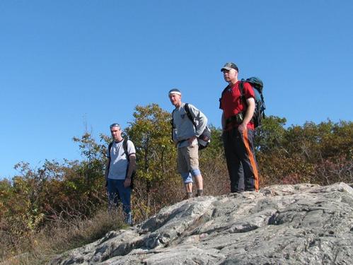
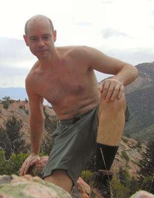
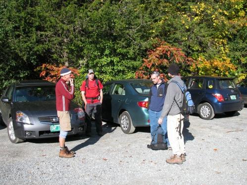
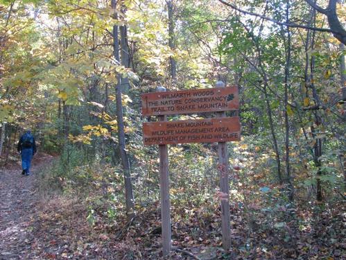
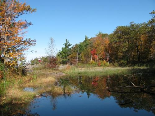
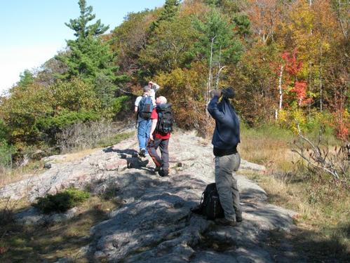
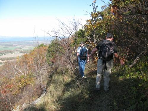
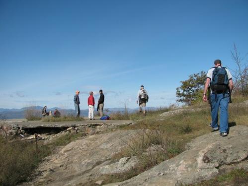
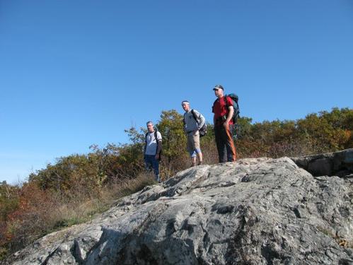
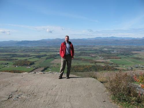
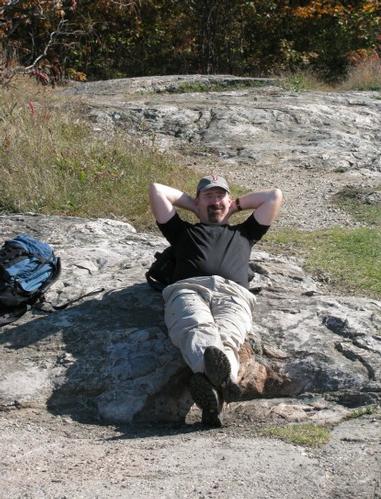
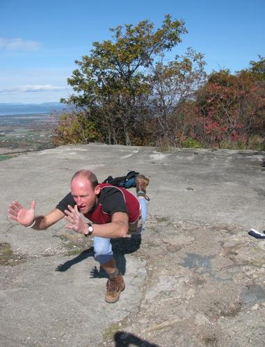
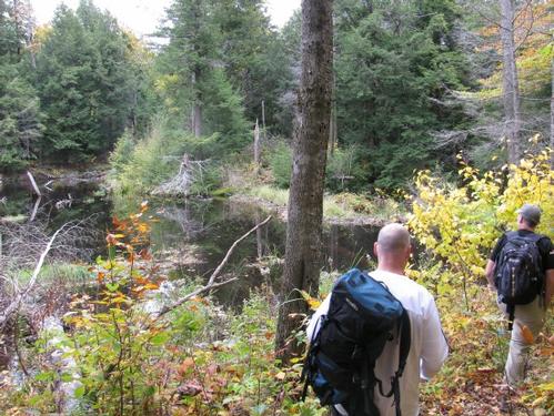
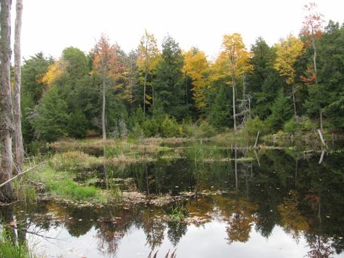
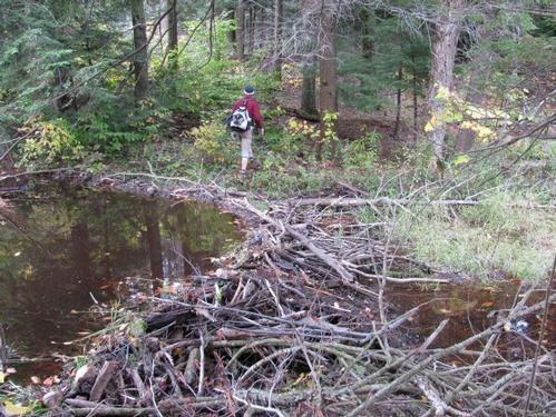
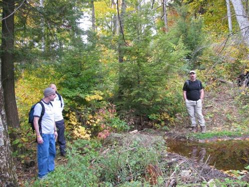
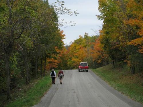
On Monday, October 12th, six of us (George, Don, Chris, Brad, Marcus and myself) met up at the parking lot off of Mountain Road in Addison, VT at 9:30AM. It was an absolutely beautiful day with a slight chill in the air. We waited an additional half-hour for one guy who never showed. After 10AM we headed out. The trailhead was approximately 0.1-mile south along the road. Here it turned into the woods and there was a sign announcing that we were entering the Snake Mountain Wildlife Management Area. The trail was modest, but a little way in, Don decided that he would just hang out here at the base, while we continued. A little further there was a junction, where the carriage road turns up the mountain. Shortly after this, we left the old road in favor of a trail which follows the ridge on the way up to Red Rock Pond. There were short steep stretches in the trail. Once up at the pond, there was an open ledge, which provided wonderful views westward to the Adirondack Mountains and to Lake Champlain. Oh, and it was a beautiful pond situated right there on the ledge. After a short break here to keep us all together, we continued up to the summit of Snake Mountain. The trail proceeded right along the legde until just below the summit. Here it re-joined the carriage road on its way up to Snake Mtn. We reached the open summit at slightly after 11AM. On the summit there remains the foundation of an old hotel, that once stood right on the ledge. We hung out here and had an early lunch/snack...staying here for about an hour. During that time Marcus entertained us with demonstrations of yoga positions, as well. Just before we were ready to leave the summit, a number of other groups were just coming up...as expected for a holiday. We started our descent...this time taking the old carriage road down. At an obvious junction, the trail branched off to a 9500 year-old cranberry bog. We walked a short distance down this trail to check it out. What we found was a damed up beaver pond...beautiful none-the-less.
I was scratching my head as to why it's referred to as a cranberry bog...I wouldn't have thought they would have been natural for the location, but looking at Wikipedia it states that “They are found in acidic bogs throughout the cooler parts of the Northern Hemisphere” and “Native Americans used cranberries in a variety of foods”.
After checking out the bogs, we backtracked to the carriage road and continued back down to the trailhead. We reached the parking lot by 1PM. From here George headed home, while the rest of us drove back to Middlebury for a drink at Two Brothers Tavern before heading home.
This hike offered huge rewards for little effort and it was certainly a gorgeous day. Thanks to Brad, Marcus, George, Chris and Don for joining me for this short hike on Columbus Day.
There are 18 photos in Album (Note: Move mouse pointer over larger pic and click on NEXT for better viewing)
What Members Are Saying About This Trip/Event
- Dude, that yoga pose is a Romanian Squat. It's an exercise. Er, ya might want to try some of that Steve. It's called a "fitness center". Ha, thanks fer letting me crash your site-it's what I'm best at-just ask Mike. Peace On, Markus Parkus - markmtn
|
|
||