Trip report
Doyles River Falls and Jones Run Hike
Hiking/Walk DATE: 09/22/2018 - 09/22/2018
Trip/Event Location: Shenandoah National Park , VA
US
Trip Leader(s): TrailGuyEric
Max # People: 15
Trip Guiding / Event Fee: No, I will not be asking participants for money
Difficulty Level: Moderate to Strenuous
Join us for a moderate to strenuous hike to visit three distinct waterfalls. in the Shenandoah South District. Total hike is 8 miles and about 7 hours.
Bring at least a 2 liters of water,
...Located at mile marker 81 off of Skyline Drive Doyles River parking lot, Shenandoah National Park 10 a.m.
Trip Report/Photos
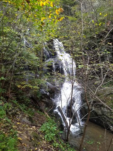
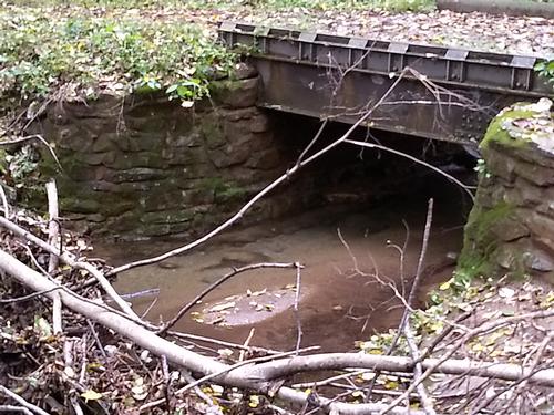
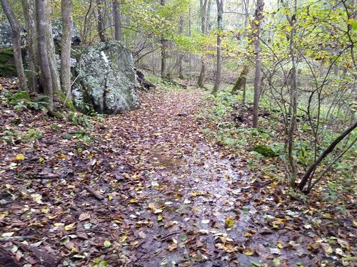
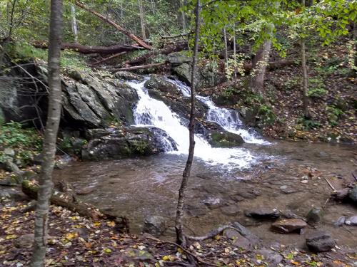
We left the Doyles River parking lot located at Mile Post 81, Skyline Drive at a few minutes after 10 a.m. We wandered down Doyles River Trail hearing water off to in the distance but before long the trail joined up with the Doyles River which was fairly full due to plentiful summer rains. We walked on down until we came upon the Browns Gap Fire Road with the old steel bridge still remains with aluminum grate on top. We continued on the Doyles River Trail and came upon our first of many waterfalls. We continued on and came upon the Upper Doyles River Falls (28 ft.), passed several more, smaller falls and then to the larger Lower Doyles River Falls (63 ft.). We met quite a few “down and back” hikers who weren’t doing the full 8 mile loop.
As we hiked down high above the river, I spotted a rather large water snake lying atop a 3’ tall bush just 6’ off the trail. I stopped and peered at him and the snake took no notice and just layed there unscathed.
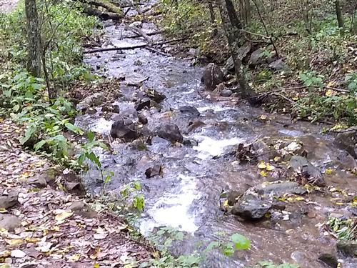
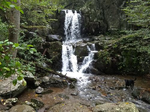
We eventually came to the end of the trail and continued our loop going up the Jones Run Trail with many more waterfalls and several river crossings which required some planning as there were few ways to get across without getting wet. We came upon the wonderful Jones Run Falls (42 ft.) and rested. We continued up Jones River Falls with one last river crossing and slowly left the sounds of cascading water behind.
The Jones River Falls trail ended and we continued our loop hike by turning right onto the Appalachian Trail, heading north. We walked 3 miles on the AT, crossing Skyline Drive twice, out hiking a rain shower that started in the last 15 minutes of the hike, and returned to the Doyles River Parking lot. Total time was 5 hours and 8 miles. This was one of the most scenic hikes around and definitely requires a return.
There are 7 photos in Album (Note: Move mouse pointer over larger pic and click on NEXT for better viewing)


|
|
||