

HIKES & EVENTS
Appalachian Trail Hike - lemon Gap to Hot Springs
Hiking/Walk
DATE: Aug 26, 2019
END DATE: Aug 26, 2019
Hike/Event Location: Hot Springs NC
Trip Leader(s)
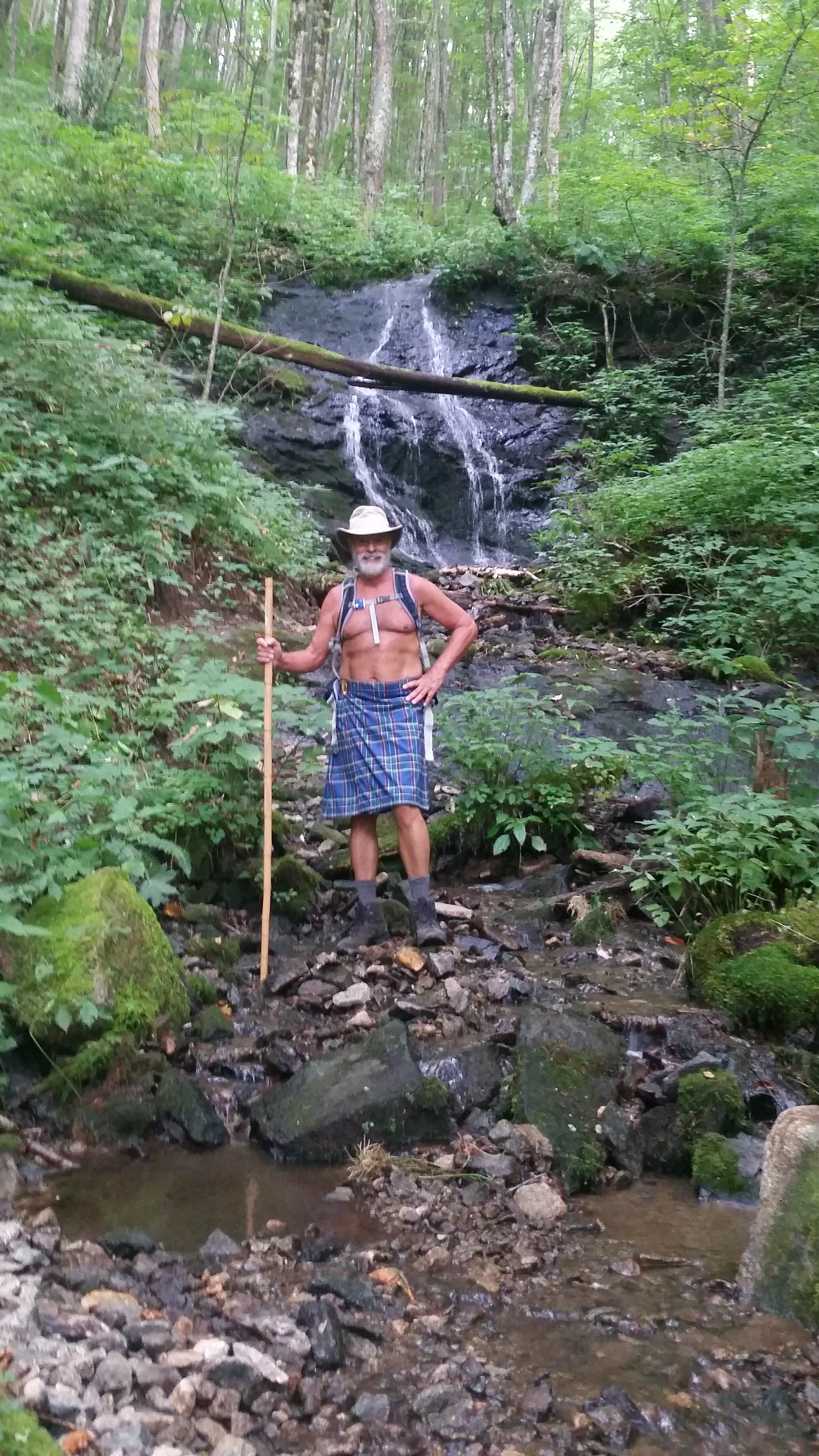
dnaturist
Jacksonville, FL United States
Meeting Time: 9:00 AM
Max # People: 8
Hike Guiding / Event Fee: No, I will not be asking participants for money
Hike Difficulty Level:
Strenuous
(Do you qualify to attend with this hike difficulty rating? Click Here.)
Sign Up To This Trip/Event
You must be a least a guest member to participate. Comments such as "+1" or "bringing a friend" are NOT permitted. All participants must sign-up for the event individually.
Select your mode of transportation, make any comments and then click on button.
You are not logged in.
Please, Log In
Summary
The hike from Lemon Gap to Hot Springs will be strenuous due to its length of 14 miles. It will be a one-way south to north hike on the Appalachian Trail. The hike will end near the Laughing Heart Hostel in Hot Springs. Plan to spend 8.5 hours on the trail.
The hike will run along the Tennessee/North Carolina border through the Bald Mountains, an irregular range between the Nolichucky and Pigeon Rivers. The open woods on this hike are mostly on ridge tops. Expect our friends, the stinging nettles, to accompany us at the beginning of this walk.
From Lemon Gap we begin our ascent to Walnut Mountain (4280 ft). A gain of 520 ft. From there the trail will drop into Kale Gap which is at the 2 mile mark of the hike. From Kale Gap we begin our ascent to Bluff Mountain (4686 ft), the highest point on the hike. A gain of 986 ft. We reach the summit of Bluff Mountain at the 3.7 mile mark. There are no views here.
From Bluff Mountain we begin a long descent, of 3.7 miles, to Garenflo Gap.The descent is steep at first. This Gap is about 7.5 miles into the hike.From this gap we take a few mild up hill walks before descending to Gragg Gap and the Deer Park Shelter, at about the 10.8 mile mark. After a slight rise, we begin our descent to Hot springs, about 3.2 miles We will have view of Hot Springs and the French Broad River.
The French Broad River gets its name for explorers in the 1700's who saw this broad river flowing towards the French lands, to the west.
There are beds available in Hot Springs at the Laughing Heart Hostel This hike will end near the hostel.
Directions To Trailhead Parking Lot
The morning of the hike we will be meeting at the Smokey Mountain Diner. We will be leaving the diner for the trailheads at 9:00 AM sharp. So, please arrive there earlier for breakfast and directions.
The address for the Smokey Mountain Diner is 70 Lance Avenue, Hot Springs, NC 28743. The telephone number for the diner is (828) 622-7571.
Trip Leader
 Invite To Be Your Buddy
 Send Email
- Online Status: OFFLINE
- Last Login: 11/02/2023 07:02 PM
- Member Since: 11/12/2013
- Approved By: TrailGuyEric
members signed up for this event

- Online Status: OFFLINE
- Last Login: 11/10/2021 10:49 PM
- Member Since: 10/20/2015
- Driving My Own Car
(Willing to give guys a ride)

I'm glad I've been hiking a good deal this summer - this is a long one but it's always good to be naked in the woods
 |
 |
