Trip report
Mt. Willey Hike
Hiking/Walk DATE: 08/15/2015 - 08/15/2015
Trip/Event Location: Crawford Notch, NH
US
Trip Leader(s): Gandalf , JDNnh
Max # People: 15
Trip Guiding / Event Fee: No, I will not be asking participants for money
Difficulty Level: Moderate to Strenuous
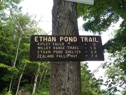
When done alone, Mount Willey [4,285'] near Crawford Notch is approached from the south, going up the Willey Range Trail, which has very steep and rough sections. We'll start at the Ethan Pond
...This trailhead is off of Route 302 just south Crawford Notch and bit past the the Willey House Station. Look for the Willey House Station Road off of 302 south of the notch. Parking is $3 per day. We'll be driving a blue Toyota FJ Cruiser.
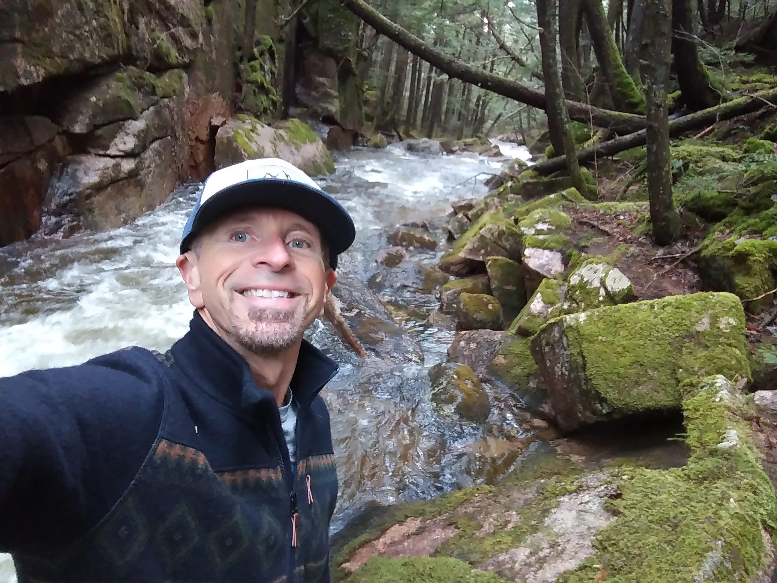
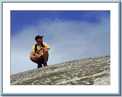
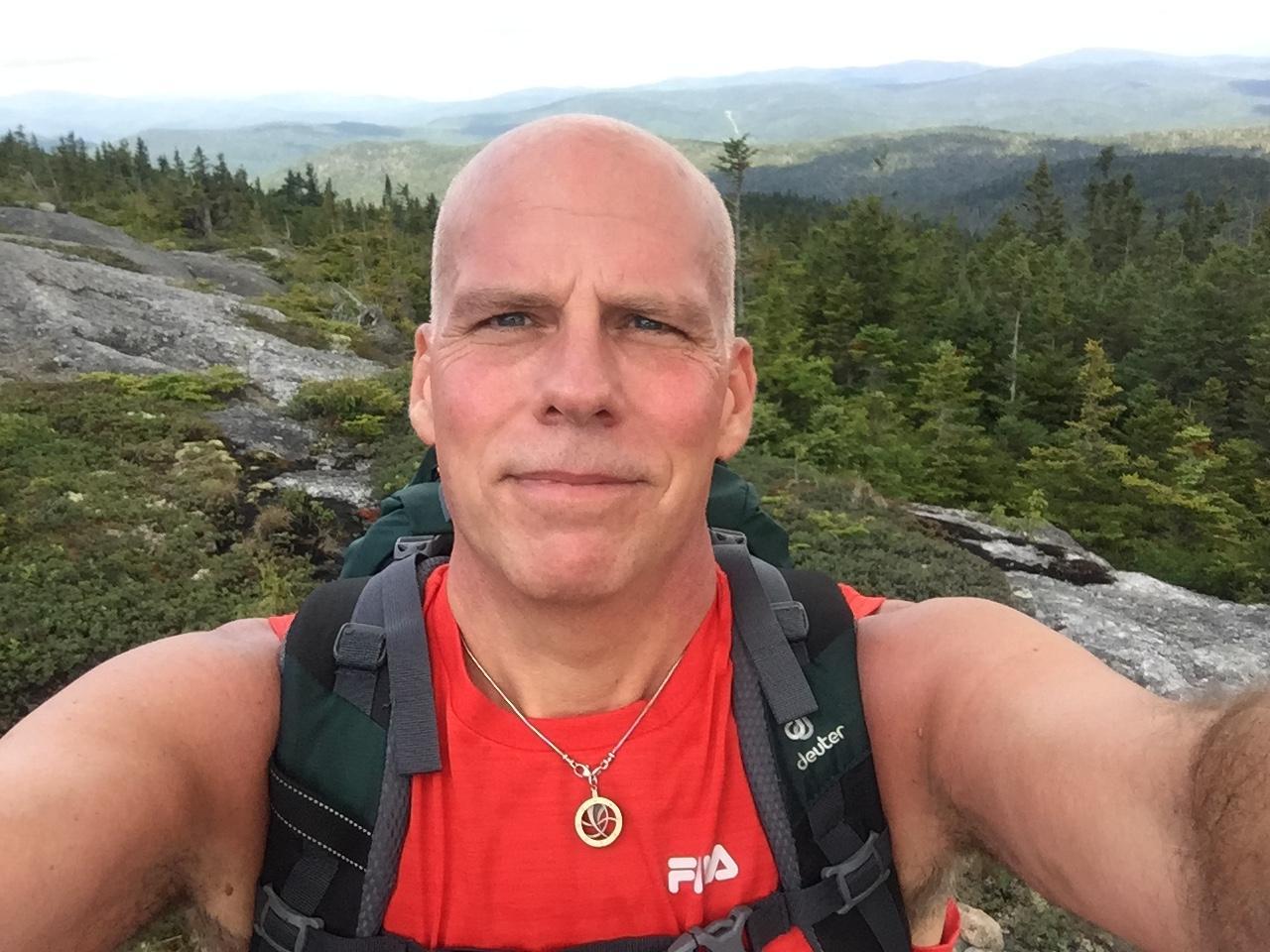
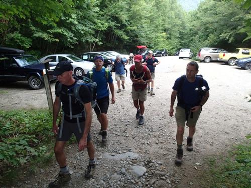
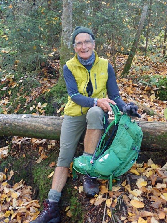
Trip Report/Photos

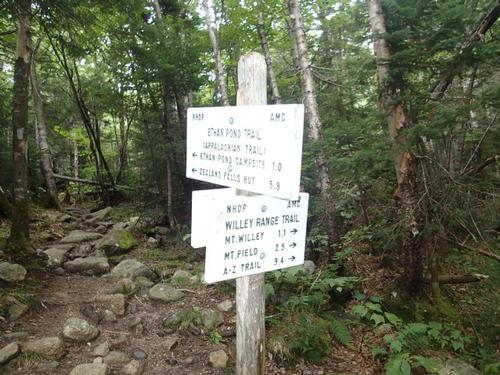
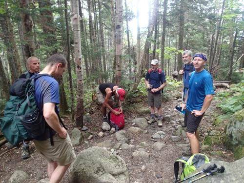
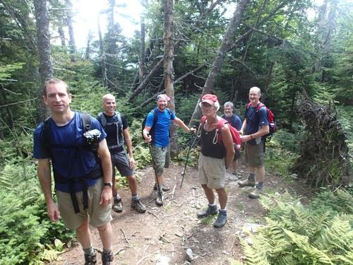
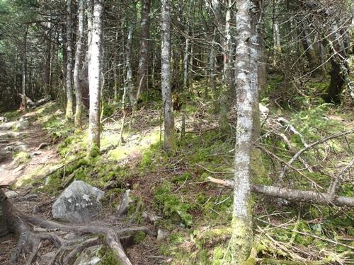
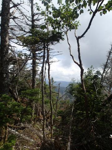
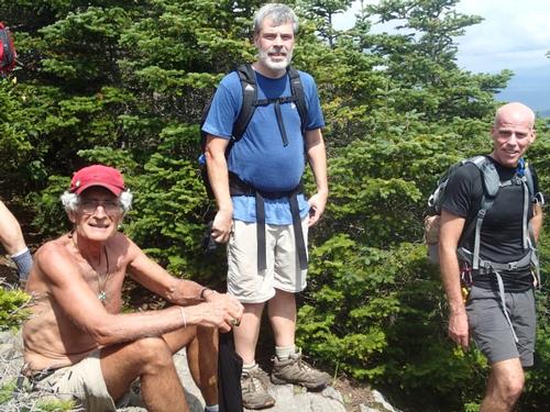
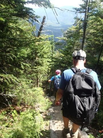
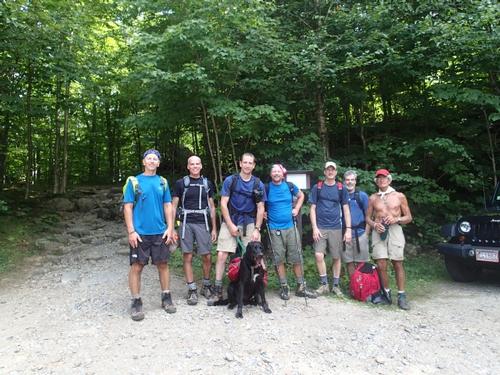
We began today's hike at the Willey House Site at 9:45am. While we were waiting for a “No Show”, we chatted with an AT thru hiker from Maine [Mainer] who was on his first zero day for a long while in order to meetup with this family and friends. From the parking area we followed the Ethan Pond Trail [part of the Appalachian Trail] across RR tracks where shortly thereafter the Arethusa Falls-Ripley Falls trails begins. We continued to a stiff climb on Ethan Pond Trail through a beautiful birch stand. The grade eased about a ½ mile and we had a pleasant easy to moderate traverse through a hardwood forest to reach the junction of the Kedron Flume Trail.
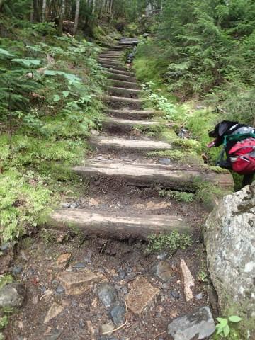
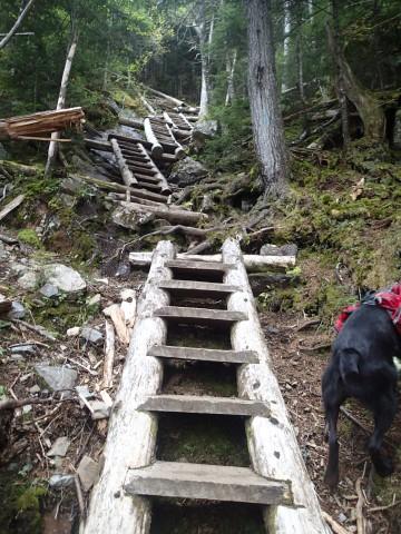
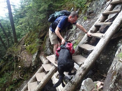
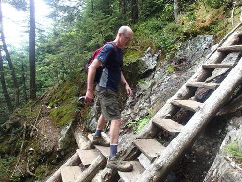
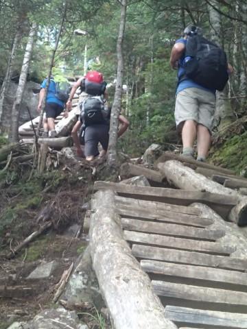
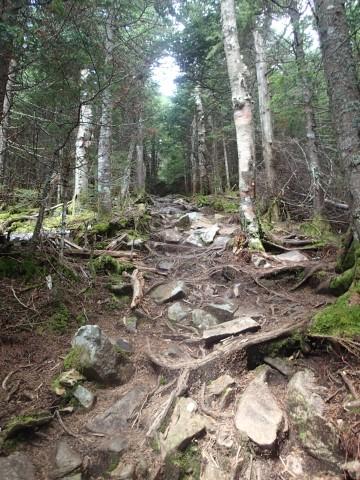
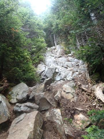
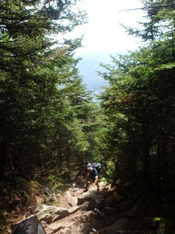
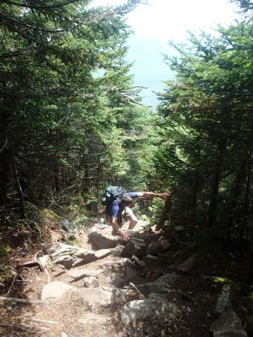
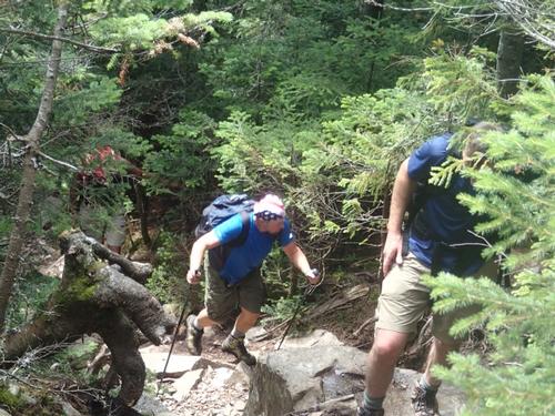
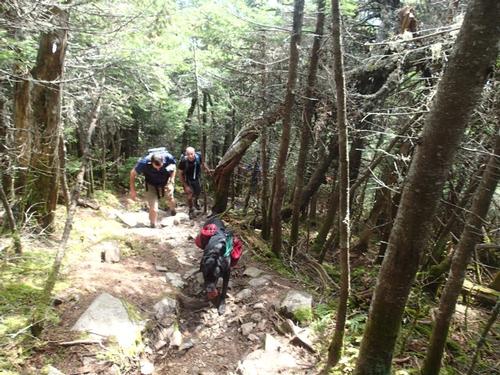
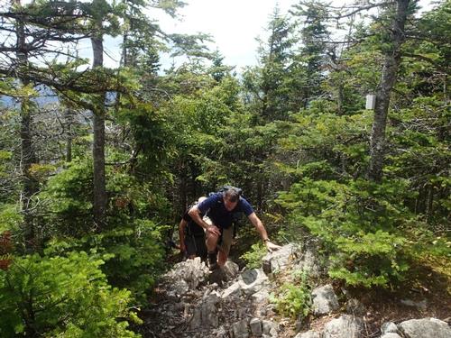
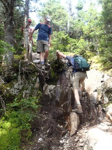
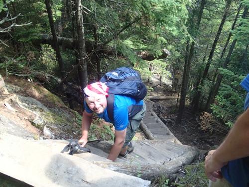
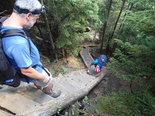
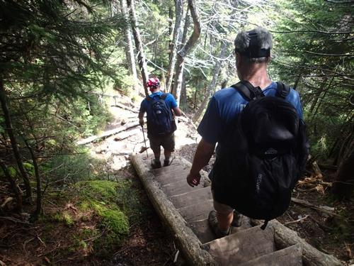
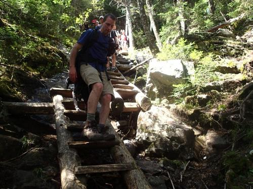
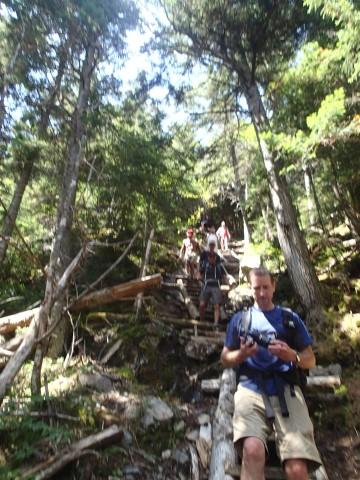
Somewhat rougher climbing lead to the junction of the Willey Range Trail. The trail turned steep, over loose, gravelly sections then becoming very steep. We arrived at the largest collection of ladders I have yet to see in the White's. Not 2, not 4 but I believe there were about 11 ladders most of which were connected. It was awesome!
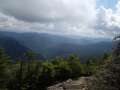
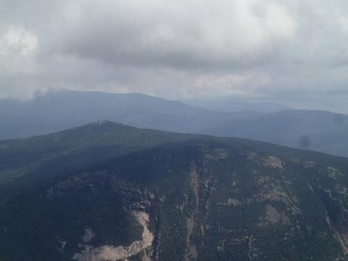
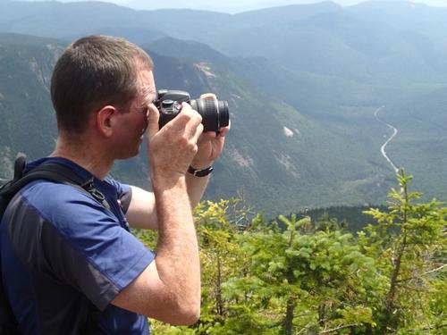
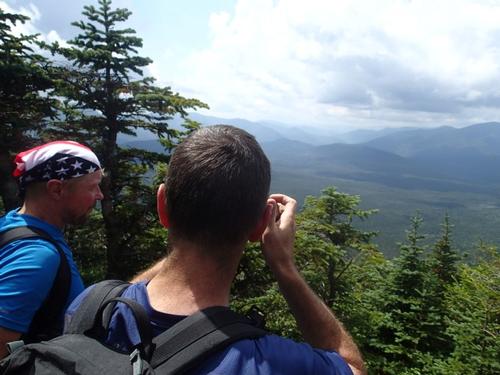
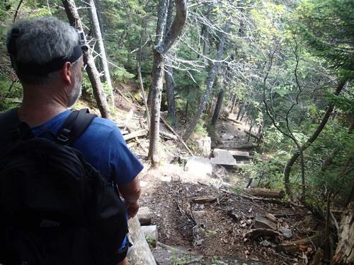
We got a partial view into the valley below with the river, road and train track snaking through the trees. We continued the very steep climb arriving at a knoll where the trail leveled and trees were smaller. Not the summit yet though! So we continued on becoming steep again before finally arriving into 7 foot high pines, a view point sign for a lunch.
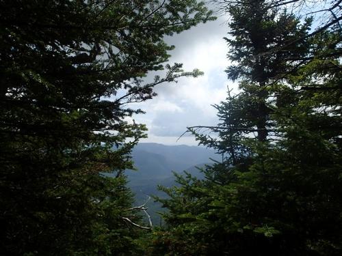
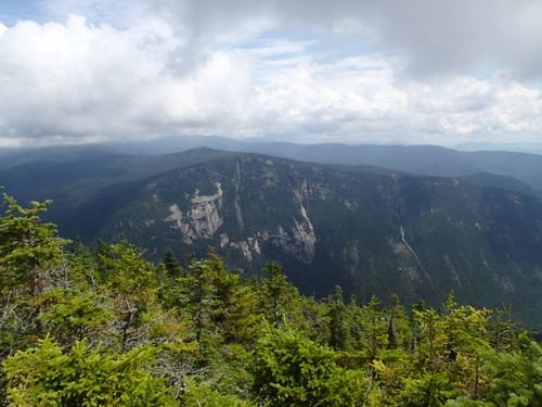
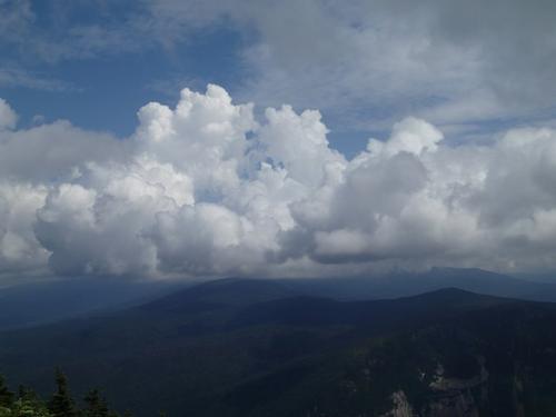
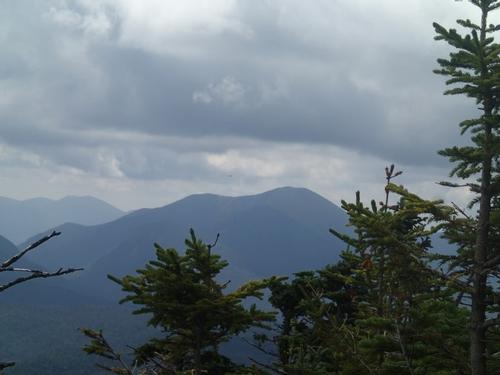
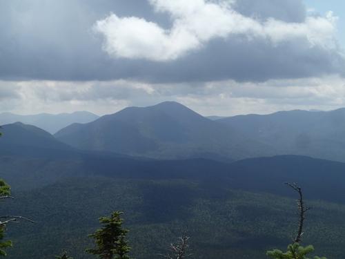
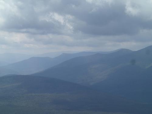
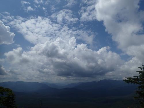
Views are spectacular with the Presidential range in full view and Mt. Webster "close enough to touch". Views were 180 degrees from just East of Washington [in the clouds] all the way around to Carrigain.
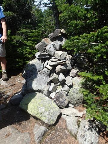
We then continued to reach the summit cairn at 4285 ft. (no view). We then went to the western outlook with a panorama of the eastern Pemigewasset Wilderness.
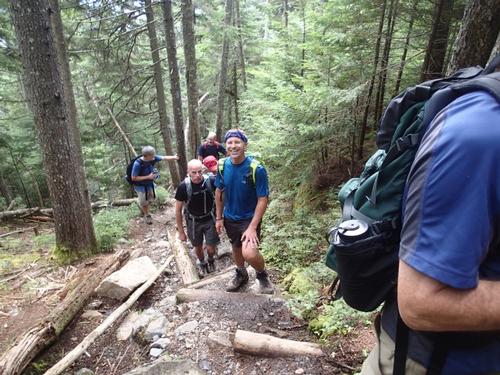
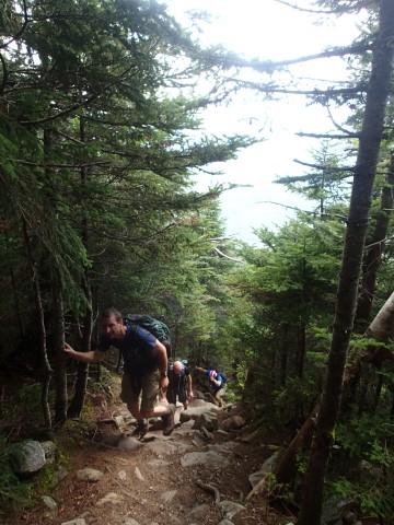
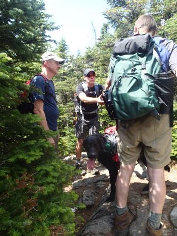
We began the steep decent back the way we came. We passed a dozen people coming up, who were astounded by how steep the trail was. And how awesome, but "calf killing" the ladders were.
We descended pretty quickly, especially once we were back on the Ethan Pond Trail where things leveled out. We arrived back at the lot around 2:30pm.
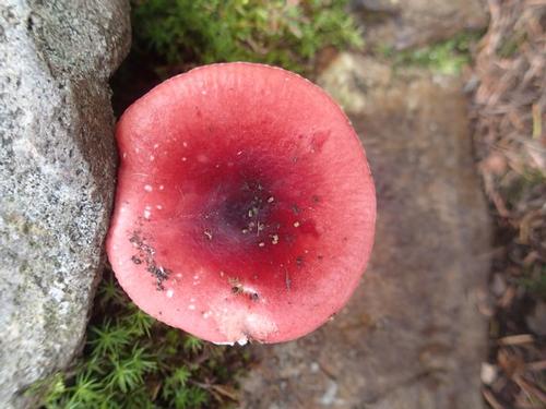
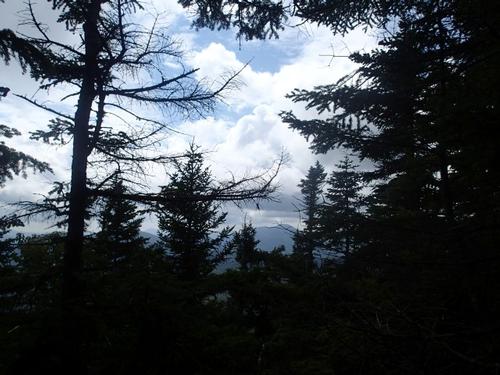
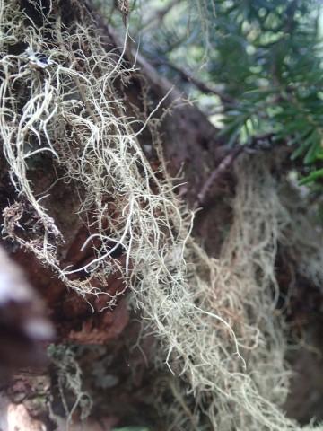
There are 77 photos in Album (Note: Move mouse pointer over larger pic and click on NEXT for better viewing)


What Members Are Saying About This Trip/Event
- First, Bravissimi to the Leaders at the beginning, during, after the hike and for their report and photographs. The hike itself: great to get in shape; the view facing us at lunchtime very tempting; the only let down: the forlorn pile of rocks marking the summit. Thank You, Luciano - Scorpione
|
|
||
Scorpione
Aug 18, 2015 at 8:18 PM
Comment: First, Bravissimi to the Leaders at the beginning, during, after the hike and for their report and photographs. The hike itself: great to get in shape; the view facing us at lunchtime very tempting; the only let down: the forlorn pile of rocks marking the summit. Thank You, Luciano |
||