

HIKES & EVENTS
Mt Jefferson Loop Hike
Hiking/Walk
DATE: May 02, 2015
END DATE: May 02, 2015
Hike/Event Location: Randolph NH
Trip Leader(s)
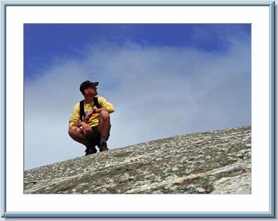
shep5
Jaffrey, NH United States
Meeting Time: 8:30 AM
Max # People: 10
Hike Guiding / Event Fee: No, I will not be asking participants for money
Hike Difficulty Level:
Strenuous
(Do you qualify to attend with this hike difficulty rating? Click Here.)
Sign Up To This Trip/Event
You must be a least a guest member to participate. Comments such as "+1" or "bringing a friend" are NOT permitted. All participants must sign-up for the event individually.
Select your mode of transportation, make any comments and then click on button.
You are not logged in.
Please, Log In
Summary

Join me for a loop hike to the third highest peak in the White Mountains and the Northeast...Mount Jefferson stands at 5712 feet. This hike will ascend via the Castle Trail where we will traverse the impressive Castellated Ridge on its way to the summit of Jefferson. As the ridge is rocky and rough with steep scrambles, it may be slow going for parts of this (the trail is slightly more difficult than the Caps Ridge Trail). Rather than descend via the same route, we will drop to Edmonds Col to the northeast and connect with the Israel Path Trail, which will provide an easier route back down to the lower Castle Trail. Along the way back we'll take a short side trip to the Emerald Bluff with its expansive views over the Castle Ravine towards the "Castles". This hike is expected to take between 9 and 10 hours depending on lunch and breaks.
Total Distance and Elevation Gain: 10.5 miles with approximately 4200 feet in elevation gain. NOTE: The summit and ridge are very exposed, harsh forecasted weather will postpone until Sunday or another date, as appropriate. Heavy rains the day before may alter the route as the ravines can channel large amounts of water and make the brook crossings difficult.
What to Wear/Bring: Typical late spring hiking gear should be appropriate: convertible hiking pants, good sturdy hiking boots with thick socks, extra layer(s)/socks and a windbreaker/raingear/fleece layer (just in case...the weather on the summit can be windy, cold and harsh). NOTE: It may be advisable to bring along microspikes (just in case), since there may still be snow and ice on portions of this hike. Also bring along lunch, snacks and plenty of water. Optionally, pack bug repellent and sunscreen and anything else that you may require for a day hike.
Afterwards: We should be completed with the hike by 6:00PM. If there is sufficient interest, we'll cap the day off with dinner/drinks.
Optional Camping: Contact me, if you're interested in camping after the hike. I would be happy to set something up or provide you details to share my site.
Carpooling: Contact other participants or the trip leader to arrange for a rideshare to the trailhead.
Directions To Trailhead Parking Lot

The trailhead parking is approximately 45 minutes and 38 miles from Lincoln / North Woodstock. From Exit 32 on Rt. 93 as you pass Lincoln / North Woodstock continue on Rt. 93/Rt. 3 through Franconia Notch. Just north of the notch, bear right at Exit 35 and follow Rt. 3 to Twin Mountain. Continue on Rt. 3 through the traffic light and turn right onto Rt. 115. After 9.6 miles, the junction with Rt. 2 will be reached. Turn right and continue east for 4.2 miles. The trailhead is signed (with a hiker symbol) and will be on the right (southside of the road). Look for a grey Hyundai Elantra. NOTE: IF you pass the Lowe's Garage and Store (northside of Rt. 2), you've gone a little too far...TURN around and head back up the hill!
For GPS users: The trailhead is off US-2E/Gorham Hill Road; Randolph (Bowman), NH 03593 (44.357863,-71.344089).
Trip Leader

 Invite To Be Your Buddy
 Send Email
- Online Status: OFFLINE
- Last Login: 04/04/2020 12:45 PM
- Member Since: 10/30/2001
- Approved By: Gandalf
members signed up for this event
- Online Status: OFFLINE
- Last Login: 06/14/2022 03:12 PM
- Member Since: 09/10/2008
- Driving My Own Car
(Willing to give guys a ride)
 |
 |
