Member Trip report
Potash Mountain [Lincoln, NH]
03/12/2017
Trip Report/Photos from Gandalf
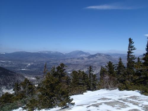
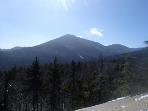
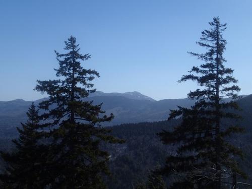
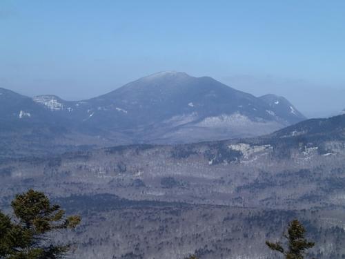
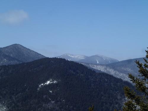
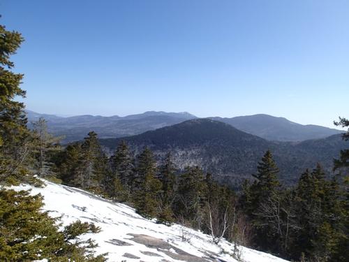
Mt Potash (2700′) is a small kettle shaped mountain located across from the Passaconaway campground on the Kancamagus Highway with 360 degree views of Mts. Passaconaway, Whiteface, The Sleepers, The Tripyramids, The Huntington’s, Hancock, Carrigain, Chocorua, Paugus, and Hedgehog among others. It’s on the 52-with-a-view peak bagging list and with good reason.
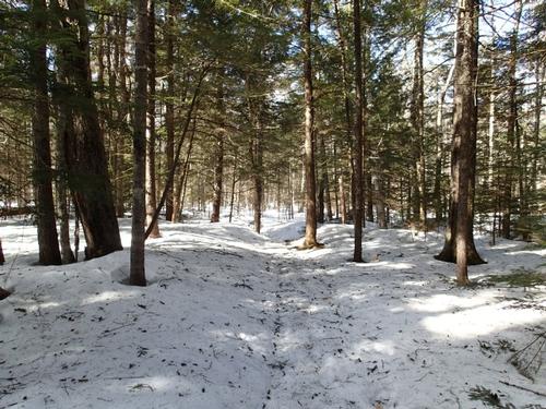
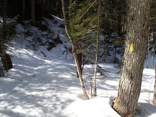
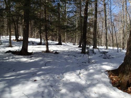
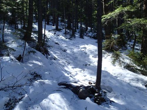
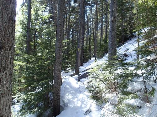
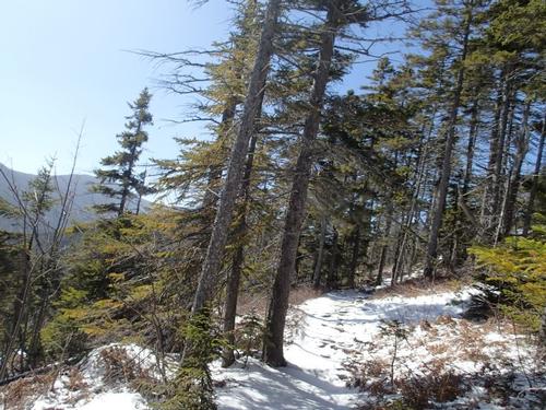
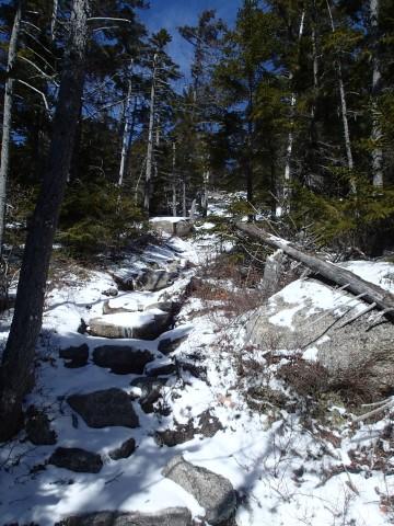
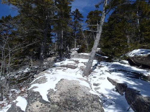
I climbed Potash this frosty morning when the temperature was in the single digits and wind chills were 20 below zero. It’s a pleasant 2.2 mile walk through open woods, the trail rises steeply, gaining 1400 feet in about 1.8 miles as it climbs to the mountain’s open summit. I hiked the trail wearing MicroSpikes for traction which proved useful since there are sections of the final climb that are rather exposed with steep drop-offs.
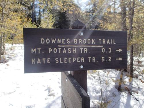
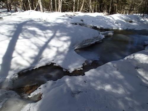
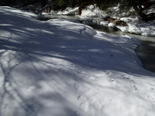
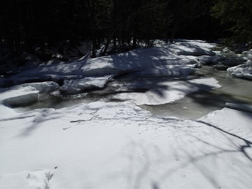
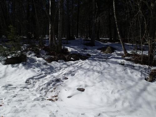
I almost turned around at the beginning of this hike when I encountered frozen Downes Brook, a wide stream at the bottom of the climb. There’s a significant stream crossing here that could be high consequence if you fell in and got wet in winter weather. I took some time scouting a few different crossing points and found a good broken up snow/ice bridges. The end of bridges were thin but thankfully it was so cold outside, it held my weight. I landed at the blazed trail on the other side.
Winter stream crossings can be tricky. You really need to look out for the frozen ledges along the banks because you can get swept under them and drown if you break through.
I wouldn’t have crossed unless I had a high certainty level that I’d make it. I also knew that if I didn’t, I was only 0.3 miles from my car and a pair of dry shoes and socks. That was an important factor in my decision-making.
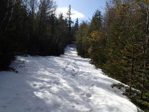
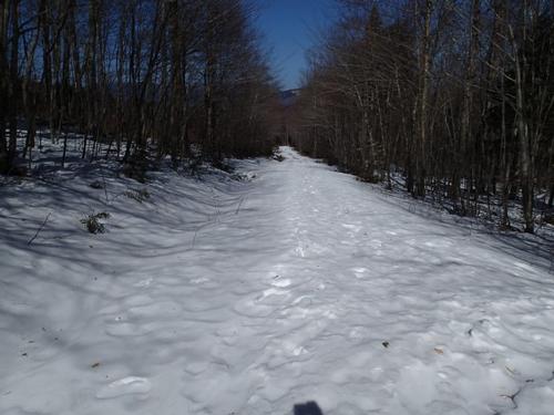
After the stream crossing I hiked on hard packed frozen snow with an inch of loose powder on top. I encountered the logging road that is an alternate route around the stream crossing. The logging road is further up the Kanc.
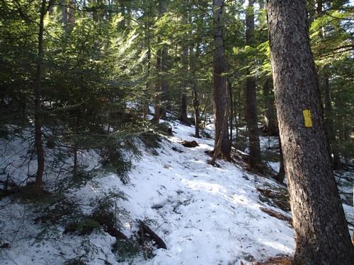
I used micro spikes the whole time and had no issue but I had to be careful of hidden ice on the trail in the evergreen portions and on the ledges when I made the final climb. There were some frozen (deep) post holes on the side of the trail, but easy to avoid for the most part.
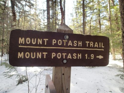
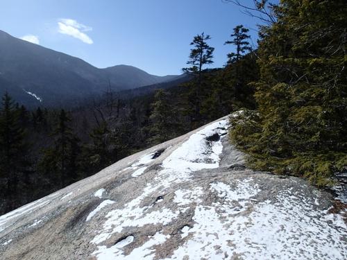
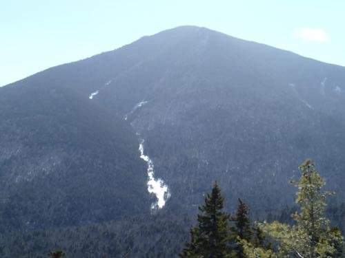
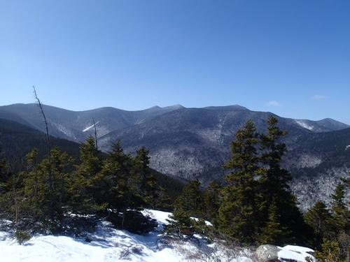
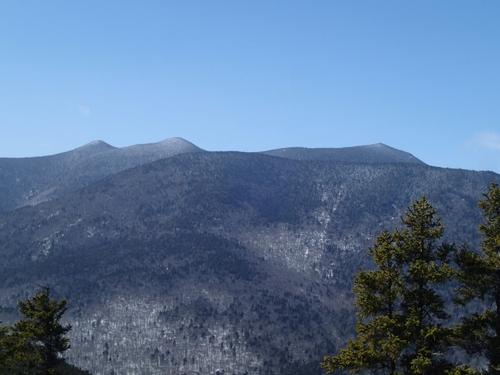
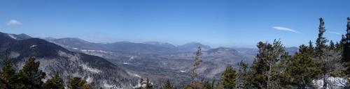
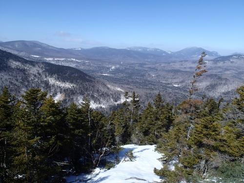
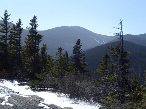
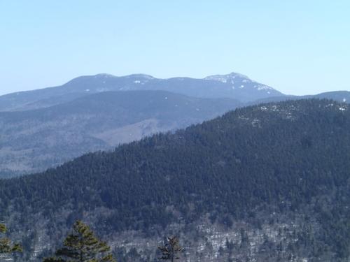
There are two major viewpoints on Mt Potash. The first is a bit lower than the summit and is the first open ledge you come to, providing a close up view of Mt Passaconaway, a 4000 footer in the Sandwich Range. As you approach the summit, the entire Sandwich Range opens up before you like a giant amphitheater. It’s a rare view of the ridge connecting Passaconaway, Whiteface, the Sleepers, and Tripyramids, all linked together.
Continuing up to the summit, the view opens up to include the Huntington’s, the Hancock’s, and Carrigain as well as all of the other mountains in the Sawyer Pond area. You can even see The Captain, a famous cliff below Mt Carrigain, in the distance. The views are simply outstanding.
I’ve been meaning to climb Potash for some time and am glad I took a few hours to hike up to its open summit.
Total Distance: 4.4 miles with 1450′ of elevation gain.
There are 34 photos in Album (Note: Move mouse pointer over larger pic and click on NEXT for better viewing)