Trip report
Mt. Garfield Hike
4000 Footer DATE: 04/24/2021 - 04/24/2021
Trip/Event Location: Lincoln, NH
US
Trip Leader(s): dpbyrnes
Max # People: 8
Trip Guiding / Event Fee: No, I will not be asking participants for money
Difficulty Level: Moderate to Strenuous
This ledge top four thousand footer has one of the premier viewing perches in the Whites!
The round trip is 12.5 miles with 3,000' of elevation gain. If you are not in peak hiking
...Drive north through Franconia Notch on the parkway. As this scenic route becomes I-93, take exit 35 onto US 3 North towards Twin Mountain/Lancaster. Drive 4.9 miles on US 3 (past Gale River Loop Road) to the intersection of U.S. Route 3 and Trudeau Road known as Five Corners – the parking location for winter/spring hikes. Note that you might also be able to park on Gale River Loop Road before the gate. Try that first.
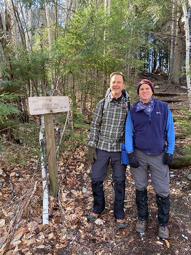
We will hike up the Gale River Loop Road to the Mt. Garfield Trailhead where the hike “officially” begins.
Trip Report/Photos
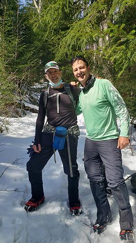
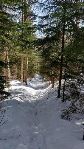
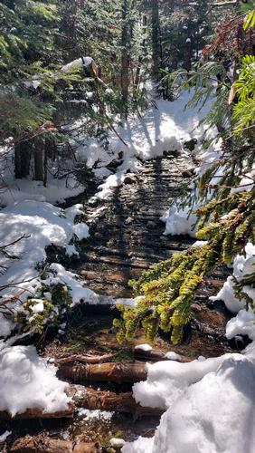
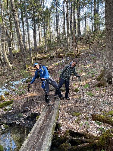
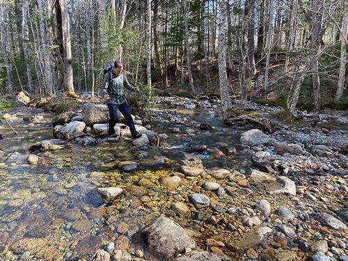
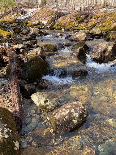
Our Garfield Trail hike was a pleasant hike from start to finish. Carlos, Ricardo and I met up at the parking area (by the gate) off Rt 3 on the Gale River Loop Road at 8am. After the mile or so hike up the road to the Garfield Trail Trailhead, we officially began the hike by climbing up the built-in steps of a small mound and following the crest of a ridge for a short distance. The trail soon connected to the old fire tower road, crossed a couple of brooks and continued to gradually ascend the mountain.
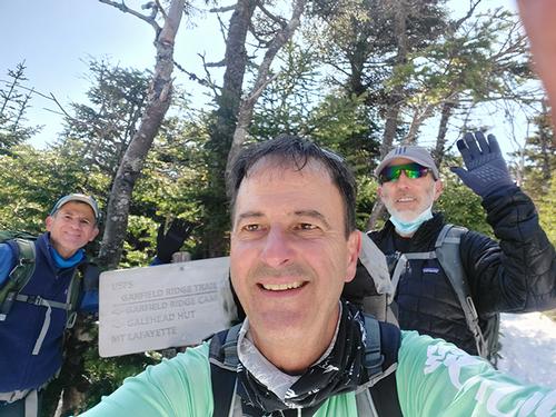
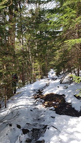
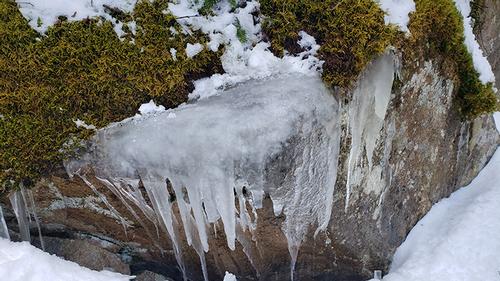
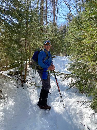
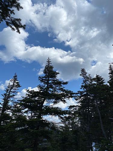
Garfield trail continues a steady but comfortable climb up the mountain, which is why it's so popular. The sun was mostly out – so meandering through the pretty sunlit woods in loose switchbacks more than made up for the muddy sections in the lower third. Snow appeared gradually starting about 1/2 way up and eventually it was thick enough for the spikes to go on. We finally reached the Garfield Ridge Trail/Appalachian Trail junction (note the tasteful selfie) and then made the big push up to the summit, which is by far the most difficult section of the hike. Sure it was only .02 mile, but after being lulled into a false sense of ease, the steep grade was humbling to say the least.
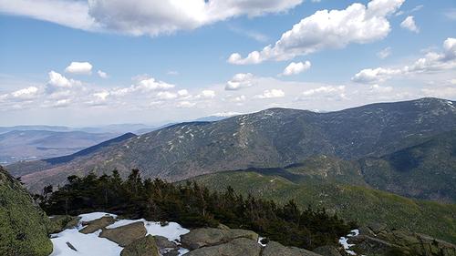
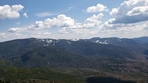
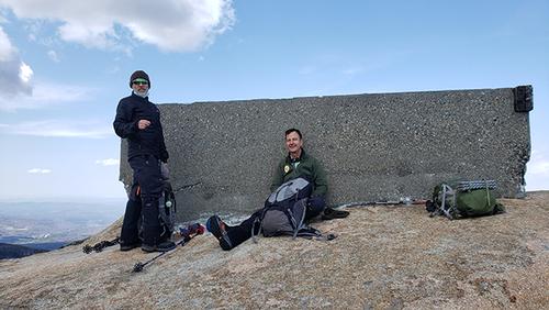
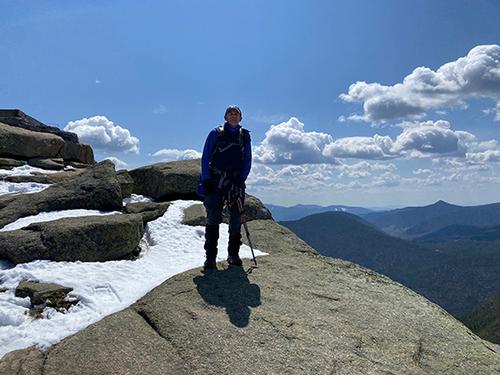
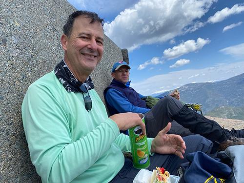
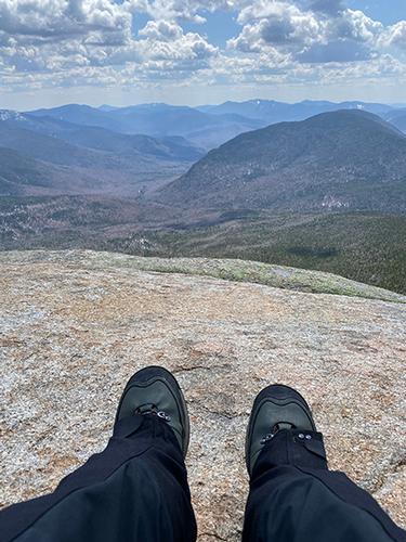
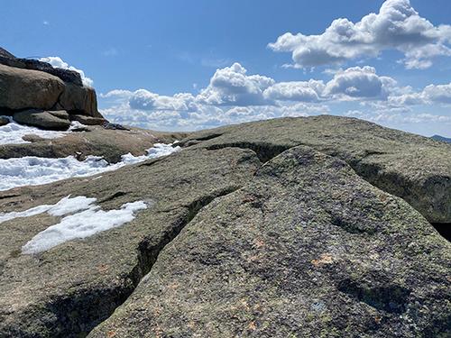
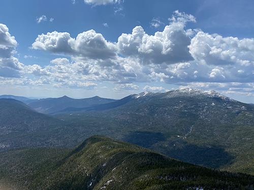
We arrived at the ledges and the base of the old fire tower at about noon and had the place to ourselves. The 360-degree view was gorgeous, consisting of a great view of the rugged Pemigewasset Wilderness to the south, Mt. Lafayette and Lincoln to the west, and Mt. Bond, North and South Twin Mtn.to the east. The sun was out the whole time we were on the summit. The wind (which was nonexistent before) kicked in, but wasn't too bad at all, nowhere near what was predicted. We hunkered down on the sheltered side of the base of the fire tower and had lunch. The air was a blue as can be, with fluffy show moving cumulous clouds, just perfect. But as soon as Carlos and Ricardo started seriously proposing a nap in the sunshine I got us moving again.
When we headed back down the snow had gotten slushier from the warmish day and sunlight, so we were actually happy to get back to just mud and rocks. A gentle hike out and all downhill, you couldn't ask for more from an 11 miler and a 4500 peak. Great hike!
There are 20 photos in Album (Note: Move mouse pointer over larger pic and click on NEXT for better viewing)
What Members Are Saying About This Trip/Event
- Yesterday was gorgeous – a fine sunny warm day with billowy clouds! Thanks for the trip report and pictures. - Gandalf
|
|
||