

Trip report
Pumphandle Trail - Allagash Wilderness Waterway
Hiking/Walk DATE: 01/13/2019 - 01/13/2019
Trip/Event Location: Ashland, ME
US
Trip Leader(s): BillyB1976
Max # People: 12
Trip Guiding / Event Fee: No, I will not be asking participants for money
Difficulty Level: Moderate
*************************
Close to time to hit the road. It is 16 below 0 right now!!!!. It is supposed to warm up to around 10-12, and I sure hope it does. Long drive to get
...Because of the long distance of driving on wood roads to get to the trailhead, I'm requiring anyone wanting to go on this hike to meet me at the meeting point at the Ashland 1 Stop and follow me to the trailhead.
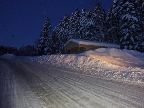
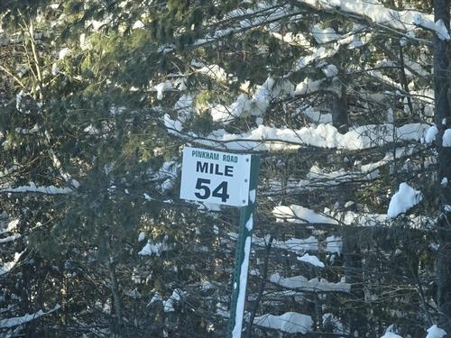
It is 62 miles southwest of Ashland to the trailhead, all on woods roads.
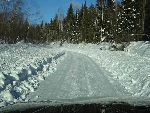
4-wheel drive or all wheel drive is STRONGLEY recommended. Roads will most likely be a little slick. Our speed will most likely be around 35 MPH.
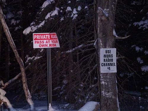
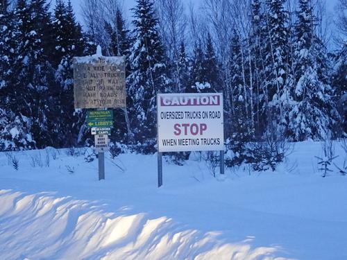
Woods roads are PASS AT YOUR OWN RISK.
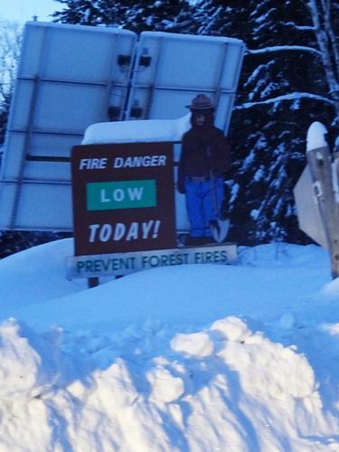
Being a Sunday, there should not be any logging truck traffic, but you should always be on the lookout. Logging trucks have the right away, and you MUST let them by. Many trucks are oversized, and take up more space.
Land/road owners, truckers, logging companies/contractors etc. are not liable if there is an accident involving them.
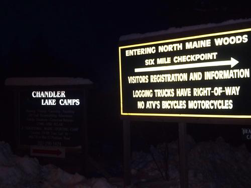
You MUST FILL your gas tank in Ashland, and purchase all supplies. There are no stores or services beyond Ashland.
Once we are a few miles beyond Ashland, cell phones will not work.
Directions to Ashland 1 Stop - 117 Main St. Ashland, ME
Take I-95 north to exit 264 in Sherman.
Turn left at the bottom of the off ramp.
Rt. 158 shortly becomes Rt. 11. Continue straight on Rt. 11 north.
Stay on Rt. 11 for 56 miles to Ashland. Last gas before Ashland is in Patten, about 8.5 miles north of I-95.
At the stop sign in Ashland, turn left in to the parking lot between the Ashland 1 Stop and the Acadia Federal Credit Union, where I'll be waiting. Please be there by 7:30 AM.
I'll be in a black extended cab Nisan Frontier pickup truck. Plate # 6039 IJ
Trip Report/Photos
Full day adventure in the North Maine Woods and Allagash Wilderness Waterway.
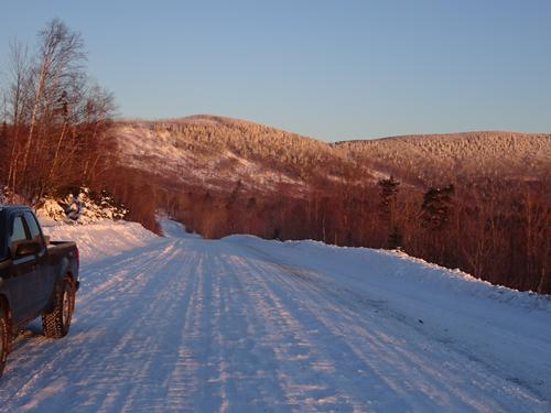
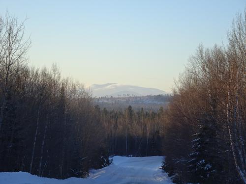
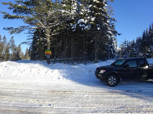
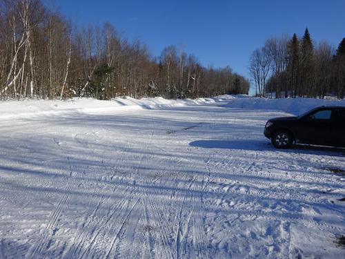
I left home at 5:30 AM and left the pavement in Ashland at 6:30 AM. I consider my adventure starting at the end of the pavement, because 1/2 of the adventure is just getting to the trailhead. LOL Temp. when I left home was 16 below!!
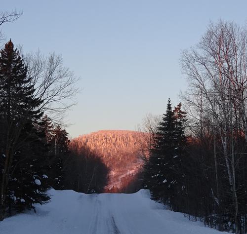
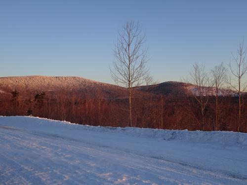
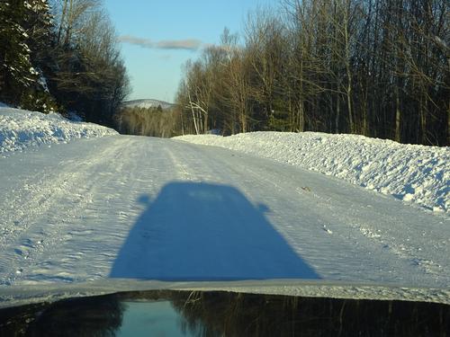
I normally love driving on woods roads, but not so much today. Roads were rough, and 30 MPH was about it. It took me 3 hours to get to the trailhead from Ashland, - about 62 miles southwest of Ashland. But, I did stop at a few spots.
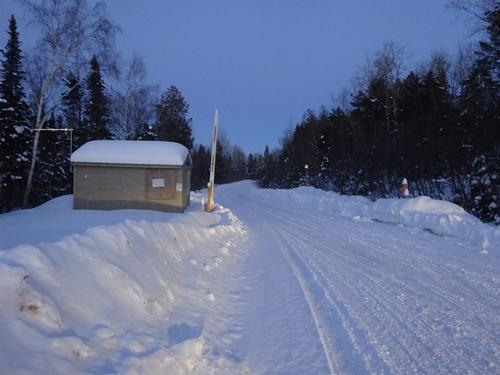
Right at sunrise it was still very windy and I was a little worried about the hike, but at the trailhead I did not feel or hear any wind.
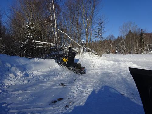
At the trailhead I met two game wardens that were heading out onto the lakes.
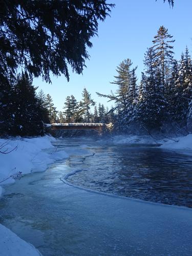
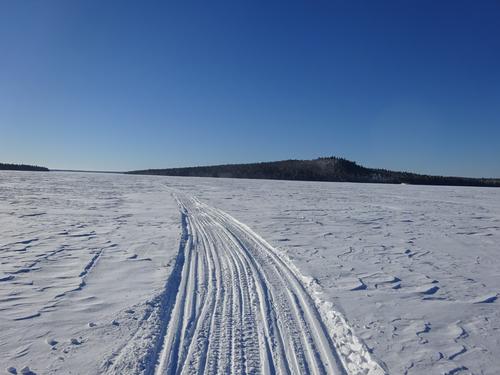
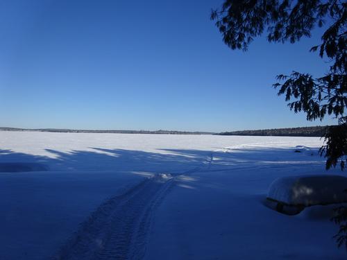
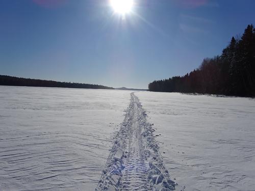
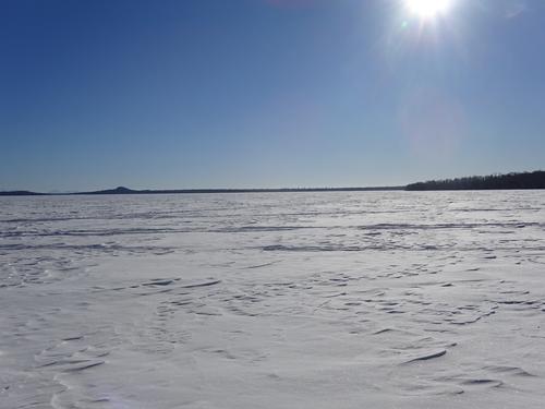
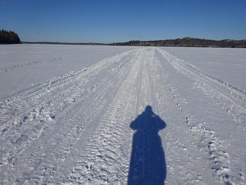
I followed the snowmobile trail about 0.4 miles down to Eagle Lake. No wind.. :) There was a breeze from time to time, but not a problem.
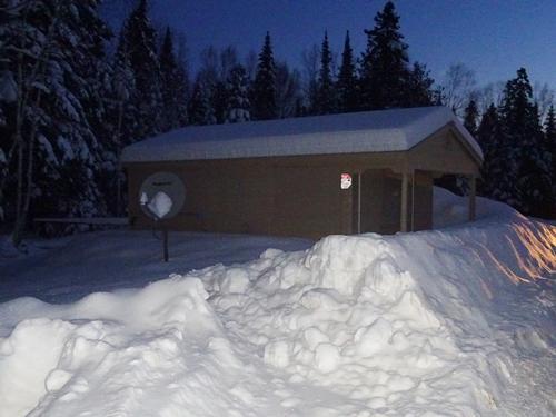
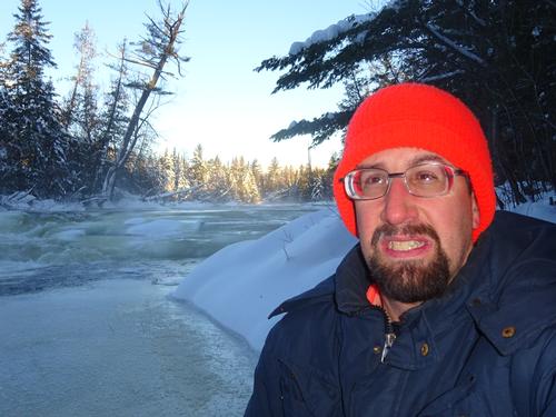
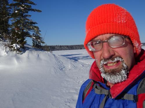
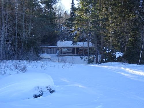
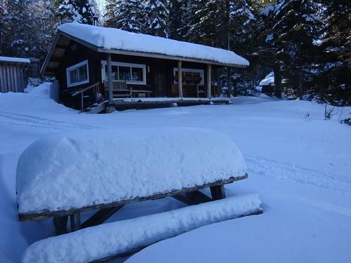
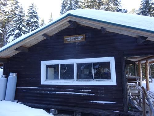
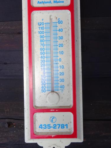
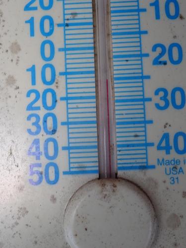
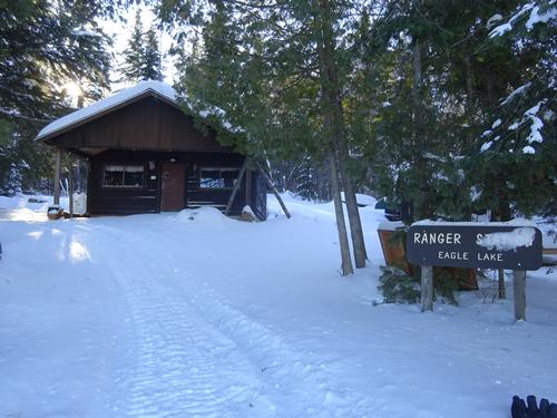
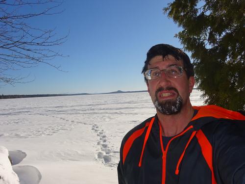
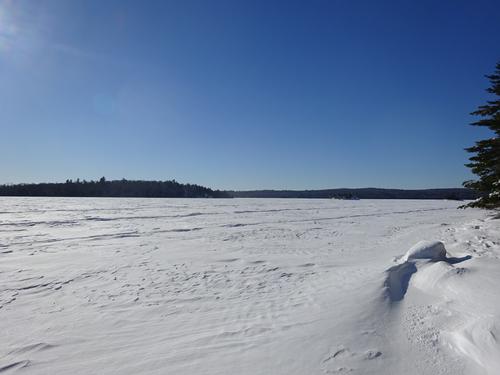
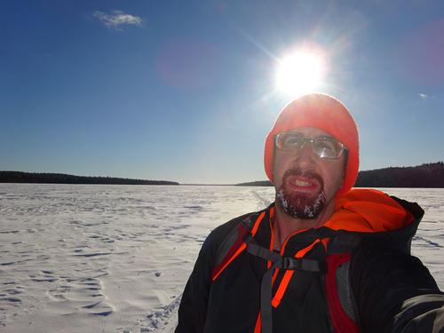
I first wanted to check out some camps along the shore. One was a game warden camp, and the other a ranger station. There was a thermometer on the warden camp, and it said 12 below!!! It did not feel that cold, and I was already shedding layers!!! This was at 10:10 am.
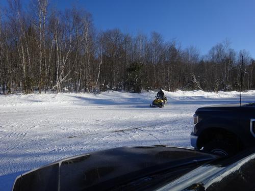
After visiting the camps, I walked the lake towards the Pump Handle Trail. Not far from the camps, a snowmobile approached me, so I stopped and waited. It was an AWW ranger, he did sound/look familiar. He said he thought he had seen me before. He said in summer he works further north at Michaud Farm, and that is where I met him a few years ago.
I asked him about the temp. and he said it probably was 12 below. He is based at Chamberlain Bridge, a little to the south, and he had 20 below this morning. He said Clayton Lake, a little to the north, had 21 below!!
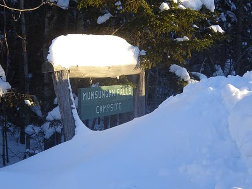
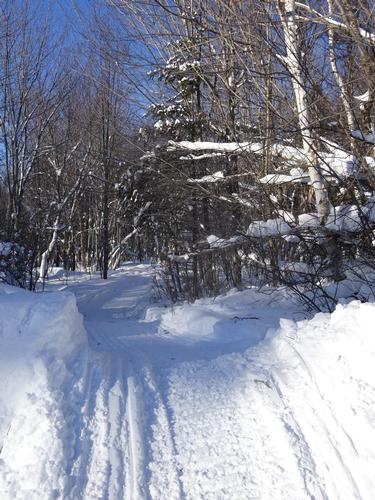
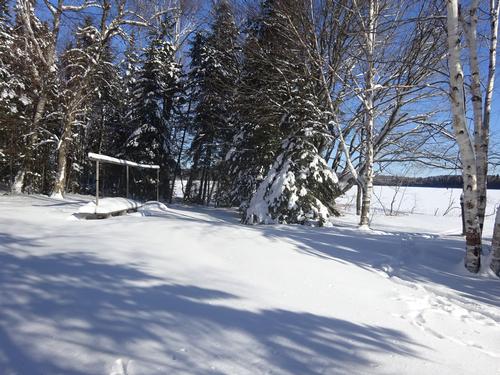
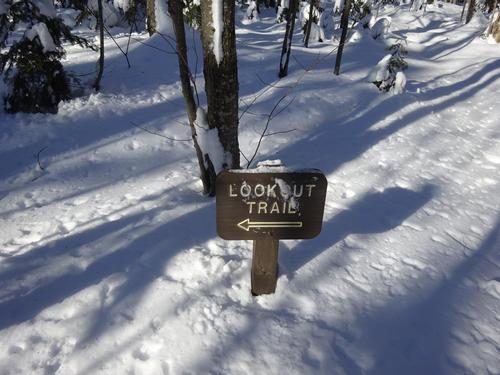
After chatting with him, I continued south on the lake to the start of the Pump Handle Trail. I guess the rangers are afraid people are going to steal the campsite signs, because they had all been removed. Luckily I knew where to go.
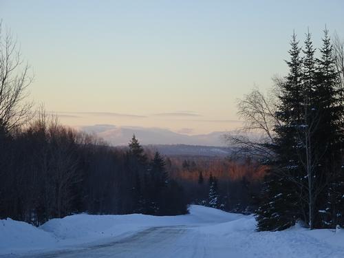
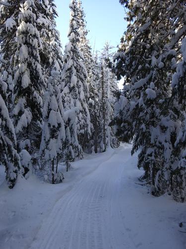
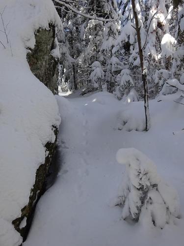
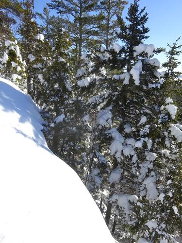
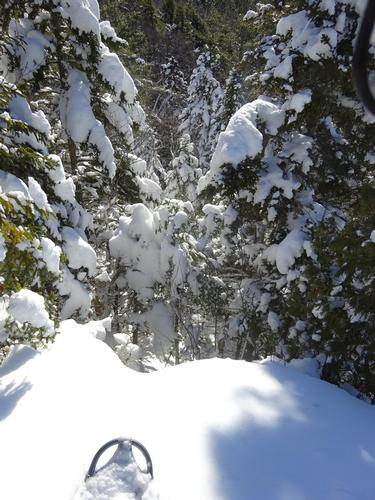
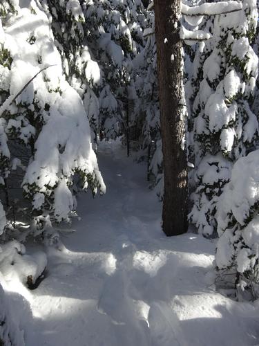
I circled the campsite looking for the trail, and I found the sign for it. But, the trail wasn't marked well. I only noticed one blue blaze. I followed it for a while, and then lost the trail. I decided to just keep going uphill and hope to either find the trail or the viewpoint.
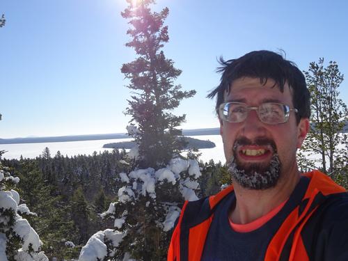
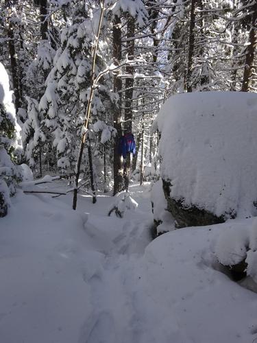
One major problem I have in cold weather is my eyeglasses fogging/freezing up. Makes it hard to see, and I have to stop to wipe them off. Well, in one spot where I stopped, I noticed it looked more cleared out. I noticed small fallen tree that looked cut. I wiped off the snow, and shore enough, the tree had been cut. So, I was back on the trail!!! And stayed on it to the viewpoint. I was also able to follow the trail for the most part back down.
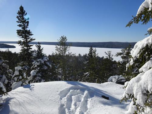
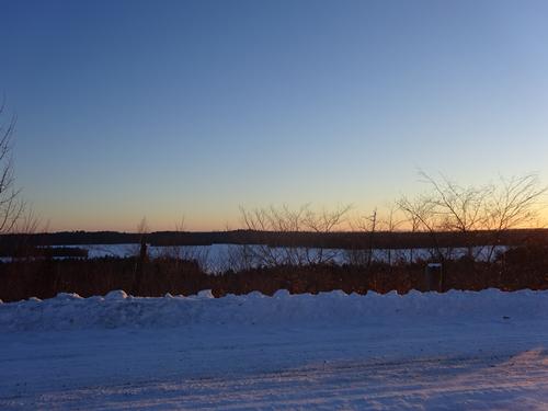
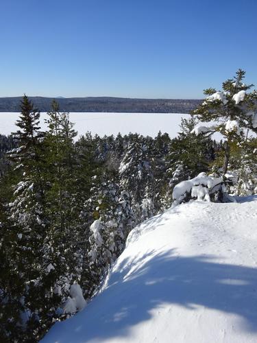
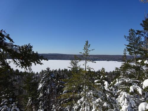
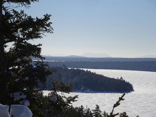
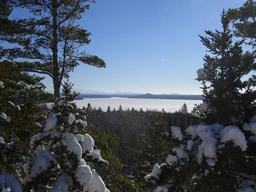
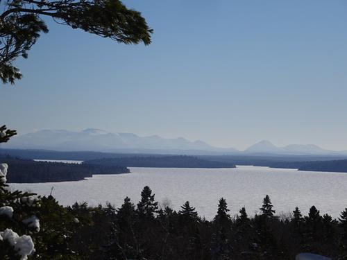
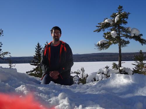
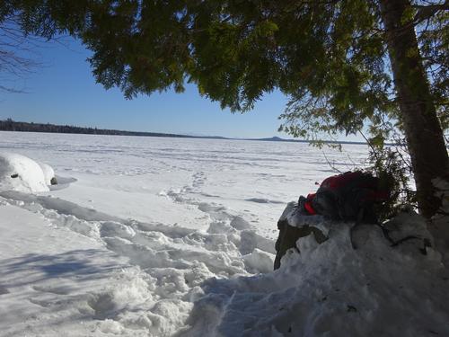
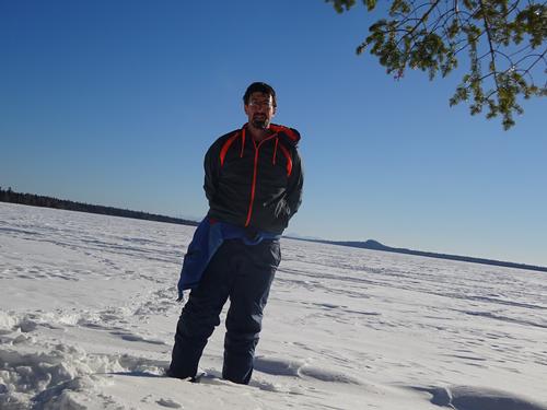
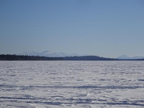
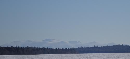
The view is not spectacular like you'd see on some 4,000 plus foot mountain, but I think it was still awesome, and worth the effort to get there. Excellent view to the south over Eagle Lake, all the way to Katahdin!!!
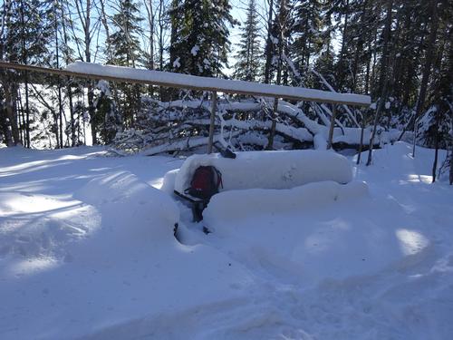
I hung out there for a while, and headed back down to the lake. I decided to walk the lake a little further south to a campsite on a point. This spot also had a good view of Katahdin.
After that, I walked back up the lake on the snowmobile trail. I was the only vehicle remaining at the trailhead parking.!!
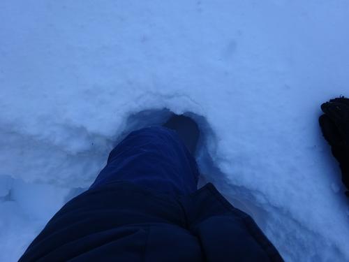
I did use my snowshoes for the entire trip. On the lake, I walked the snowmobile trail for the most part, but did go off the trail to get to the camps. The wind blown snow was not hard to walk on. Even though it was freezing cold, there were still some slushy spots. I'm guessing water must've been coming up through cracks in the ice?
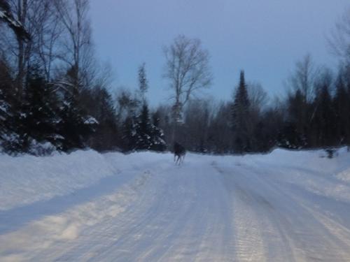
I had to break trail to the viewpoint. A bird scared the fucking shit out of me. I stepped down, and a bird just flew up out of nowhere!! It happened so quick, but I think it was partridge. I think they will bury themselves in the snow to stay warm. I looked to see where it flew up out of the snow, but didn't notice a spot. I think I basically stepped right on it!! This was a first for me...
It was a cold day, but bearable. I think it did finally warm up to the single digits above zero. LOL Nice blue sky, and the sun felt great.
I hiked almost 6 miles, and it took me just under 4 hours. The actual trail I had to break was maybe 1/2 to 3/4 mile. It was hard going in spots because of uneven snow, but not difficult.
After the hike I explored a few more woods roads, and headed back to civilization! LOL
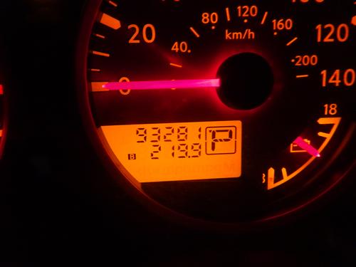
My total road miles were 220 miles. My miles on woods roads were 130 miles!! For traffic on woods roads, I only saw 2 other vehicles!!
Arrived home at 6:15 PM, so almost a 13-hour day. I had Mac & Cheese for supper, and ate almost the entire box. LOL
There are 70 photos in Album (Note: Move mouse pointer over larger pic and click on NEXT for better viewing)


What Members Are Saying About This Trip/Event
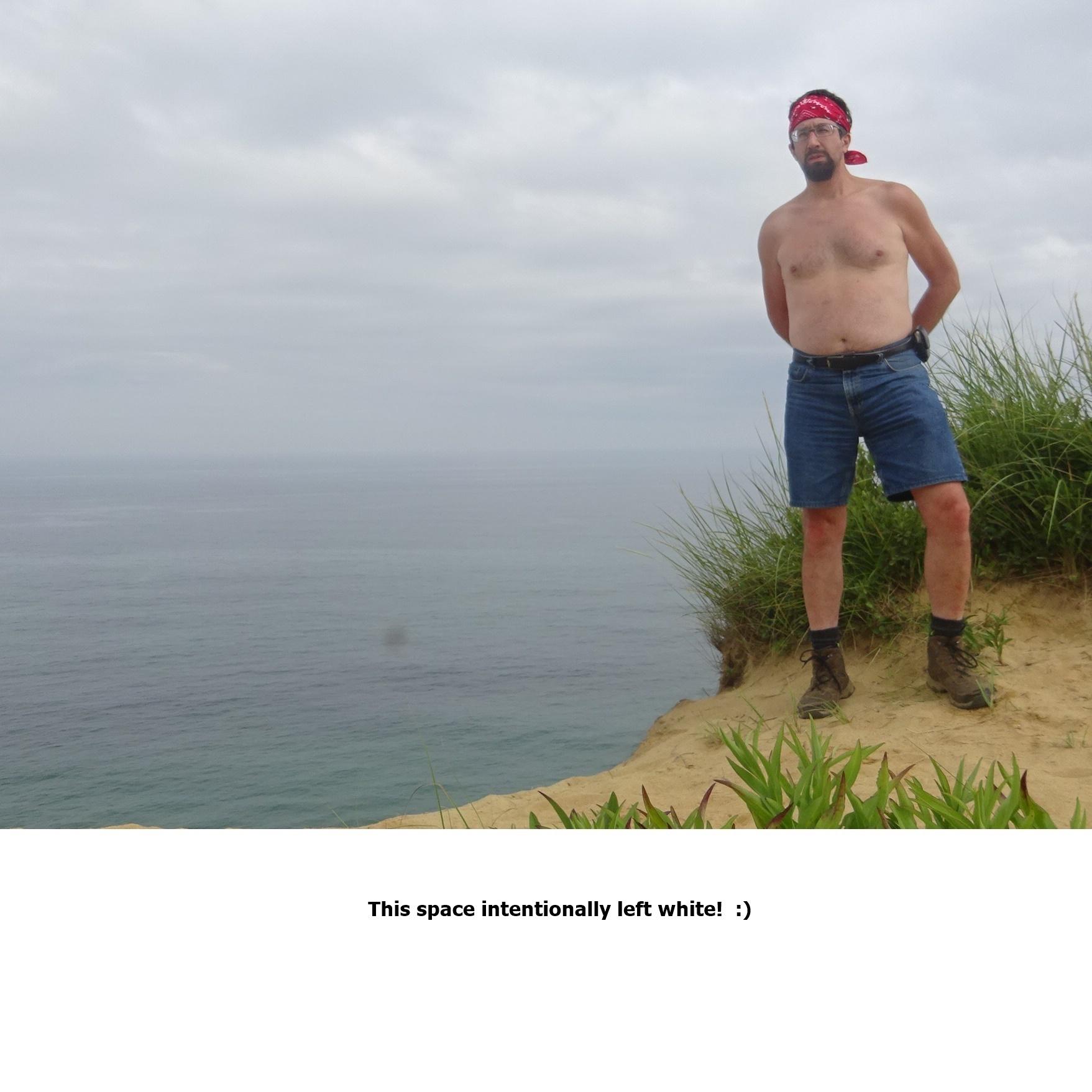
- Thanks Zak. Hat wasn't off continuously, but I did have it off some. It did not seem that cold, as the sun felt good. For a short time breaking trail to the viewpoint, I had both jackets off, so just a t-shirt and sweatshirt. I did put the lighter jacket on shortly after. - BillyB1976
- Inspiring pics! Amazing fortitude!! You are my new Superhero of Northern Maine, Billy. Nice to see you in such beautiful surroundings ...and w/out a hat...yikes at 15 below... Thanks for sharing the adventure :-) - zak
- Thanks Andy. And yes, getting there is sure part of the adventure. Luckily this adventure didn't end up in a snowbank. LOL. The roads were rough enough to rattle the teeth. LOL But, as I've said before, either deal with it, or turn around. I had not intention of turning around. LOL - BillyB1976
- All pics uploaded. I'll try to get a report done before bed tonight, but it might be Mon. morning. Long day, rough roads... - BillyB1976
|
|
||
BillyB1976
Jan 14, 2019 at 8:06 PM
Comment: Thanks Zak. Hat wasn't off continuously, but I did have it off some. It did not seem that cold, as the sun felt good. For a short time breaking trail to the viewpoint, I had both jackets off, so just a t-shirt and sweatshirt. I did put the lighter jacket on shortly after. 
zak
Jan 14, 2019 at 8:01 PM
Comment: Inspiring pics! Amazing fortitude!! You are my new Superhero of Northern Maine, Billy. Nice to see you in such beautiful surroundings ...and w/out a hat...yikes at 15 below... Thanks for sharing the adventure :-)
BillyB1976
Jan 14, 2019 at 6:46 AM
Comment: Thanks Andy. And yes, getting there is sure part of the adventure. Luckily this adventure didn't end up in a snowbank. LOL. The roads were rough enough to rattle the teeth. LOL But, as I've said before, either deal with it, or turn around. I had not intention of turning around. LOL
BillyB1976
Jan 13, 2019 at 8:12 PM
Comment: All pics uploaded. I'll try to get a report done before bed tonight, but it might be Mon. morning. Long day, rough roads... |
||

