Trip report
12.2 Mile Hike - Benton MacKaye Trail
Hiking/Walk DATE: 07/31/2017 - 07/31/2017
Trip/Event Location: Suches, GA
US
Trip Leader(s): dnaturist
Max # People: 8
Trip Guiding / Event Fee: No, I will not be asking participants for money
Difficulty Level: Moderate to Strenuous
This hike will be a south to north hike that will require a auto shuttle. Starting point for the hike will be Three Forks trailhead on FS 58. The end of the hike will be on Ga. Hwy 60 at Little
...The meeting location for this hike will be Martin's Dixie Depot on Ga. Hwy 60. It is a short drive to one of the trailhead parking areas.
It is located at 24321 Morgantown Hwy (Hwy 60), Suches, Ga. 20572.
We will be leaving Martin's Dixie Depot (convenience store) at 8:30 AM sharp. Please arrive eariler for meeting.
Trip Report/Photos
This was a very nice hike on the Benton MacKaye Trail. The weather broke for this hike, as we had a cool starting temperature and low humidity for the day.
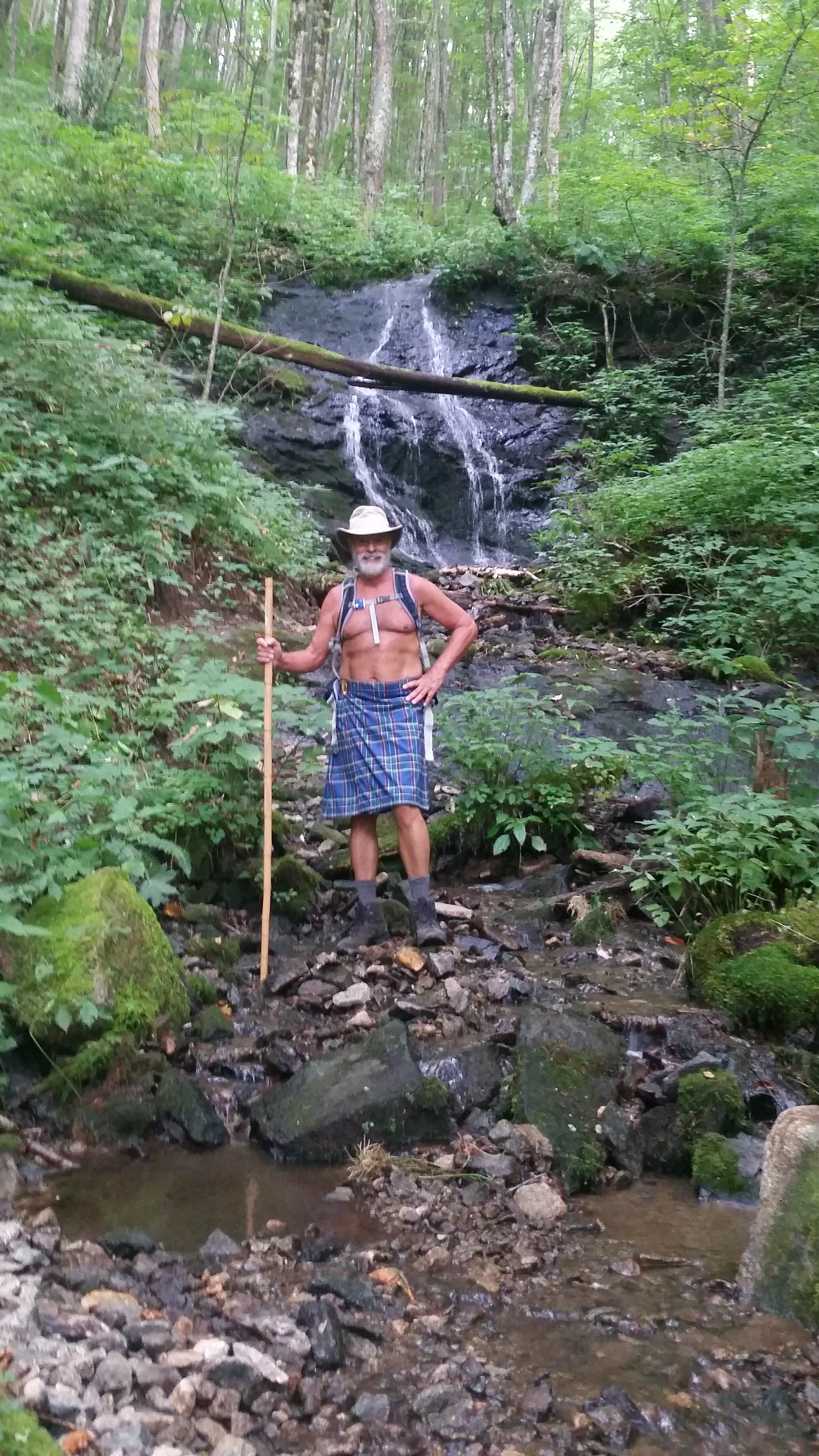
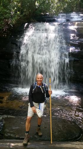
From the Three Forks trailhead the Benton Mackaye Trail and the Appalachian Trail run concurrently for about one mile. at the .7 mile point we took a small side trail down to an small water fall. One mile into the hike we came to Long Creek Falls (photo) and stopped for photos. At this point the AT and the Benton MacKaye Trail split. Also, at this junction the Duncan Ridge Trail starts and follows the Benton MacKaye Trail the next 16.8 miles.
At 2.2 miles into the hike we came to an unnammed bald. It looked like it was a man made pasture at one time.
At 5.9 miles we entered Bryson Gap.
The second half of the hike was also nice with some nice scenic overlooks. Lots of ridge running on this part of the trail.
About 10 miles into the hike we came to suspension bridge that spanned the Toccoa River. This long bridge gave one the feeling of having had too much to drink, as it moved with every step. This was the only spot on the trail where we encountered other people. There were many families and fishermen at the bridge area (parking lot close by).
One other joined me on this hike which took 6 hours for us to complete. This hike had an elevation gain of 2516 feet.
- The Trip Has No Photos -
What Members Are Saying About This Trip/Event
- What super memories! - Gandalf
|
|
||