Trip report
Spring into Summer Hike 3: N. Moat Mt.
Hiking/Walk DATE: 05/31/2014 - 05/31/2014
Trip/Event Location: North Conway, NH
US
Trip Leader(s): WalkaboutBrian , markus24
Max # People: 15
Trip Guiding / Event Fee: No, I will not be asking participants for money
Difficulty Level: Moderate to Strenuous
Come along on our third spring hike. On this trip we will hike North Moat Mountain (3196ft.). This mountain hugs the west side of North Conway and packs rewarding views with a decent climb
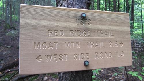
...Approach using NH Route 16 north: From the junction of NH Route 112 (Kancamagus Highway) and NH Route 16 drive north 0.8 miles and turn left onto Washington Street at the first stop light. In 0.2 miles turn slightly left onto West Side Drive. Drive 5.1 miles to a “T” intersection for River Road and turn left staying on West Side Drive. Drive 1.4 miles more north on West Side Drive. The parking lot will be on the left side and easy to spot.
Approach using NH Route 302 east: From the Attitash ski area drive about 1.6 miles east and turn right onto West Side Road. Follow West Side Road for 4.2 miles and the parking lot will be on the right side and easy to spot.
Trip Report/Photos

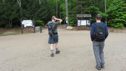
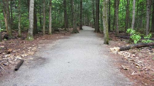
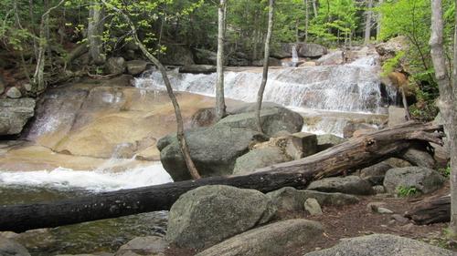
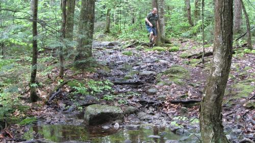
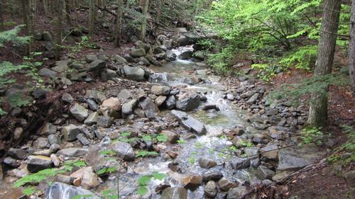
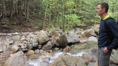
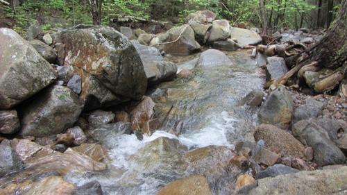
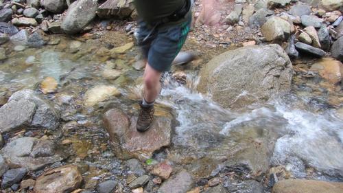
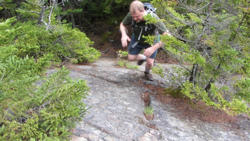
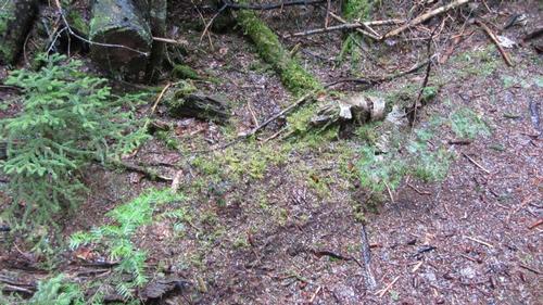
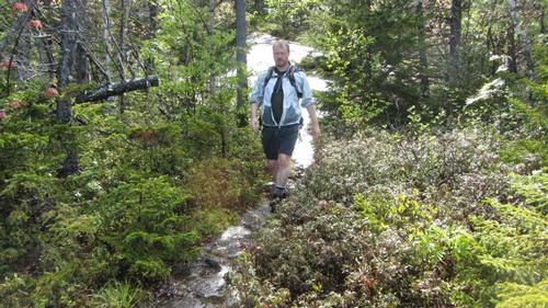
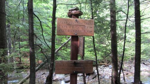
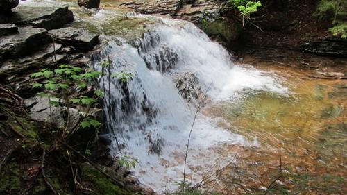
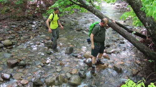
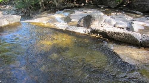
We started off with three hikers on a partly sunny and moist morning with many mosquitoes. The first half mile consisted of walking on a well groomed path leading to one of the more popular swimming holes in the White Mountains, Diana’s Baths. After a short visit to the waterfalls we continued on our route. The trail changed significantly with much more mud and flowing water to navigate through, a testament to recent heavy rains in the mountains along with the remnants of destruction hurricane Irene left three years ago. The first three miles of the trip were quite flat, continuously moist, and well invaded by the mosquitoes. We also had the opportunity to see an adult black bear and her cub scatter away from the trail ahead of us. Always a healthy reaction for bears to have in the wild.
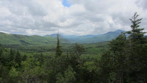
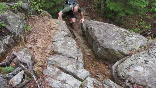
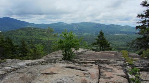
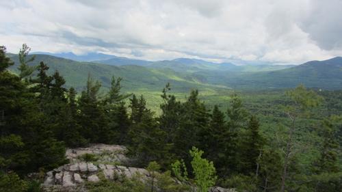
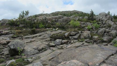
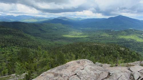
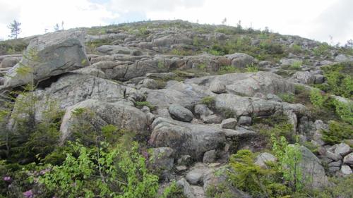
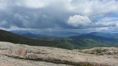
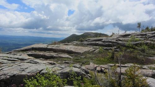
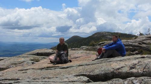
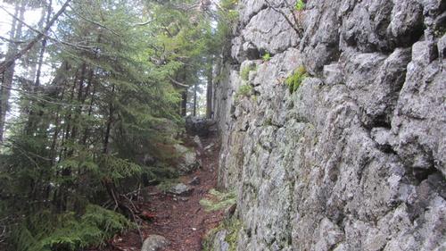
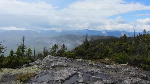
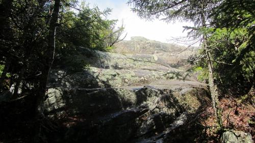
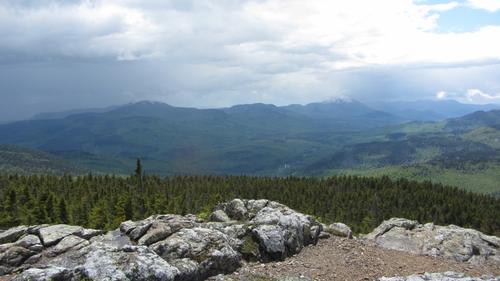
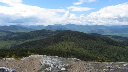
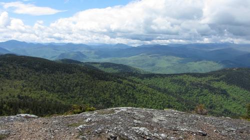
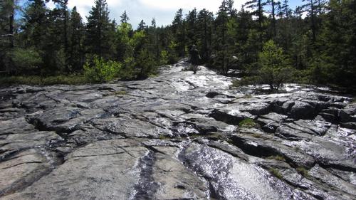
Once we began to ascend the Red Ridge our environment immediately changed. The trail became much drier with stone and ledge to traverse, and the mosquitoes dwindled to an almost non-existent state. Views to the east immediately broke out with every turn onto a different portion of ledge, the clouds were scattered with patches of sun breaking through to the valleys below, and several rain bands were visible slowly advancing toward us. We decided to break for lunch near the top of the ridge where the views had a north-east-south span. Here we encountered one of the earlier seen bands of rain giving us about a 10 minute ordeal requiring raingear, but the rain was immediately followed by some welcome sun light.
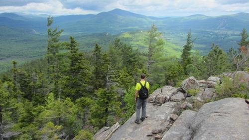
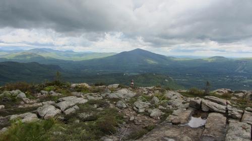
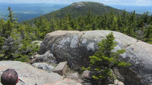
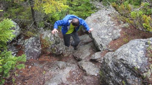
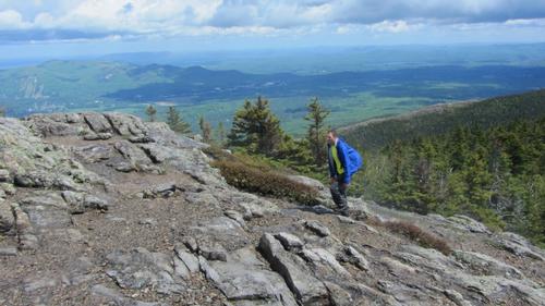
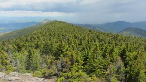
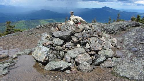
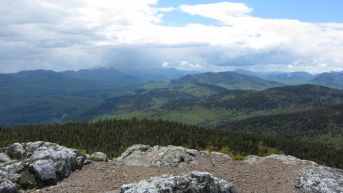
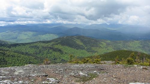
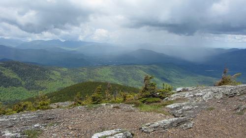
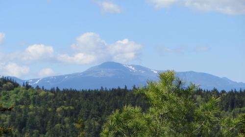
After our break we continued to the unnamed summit on Red Ridge. Here the views to the west finally showed. The next mile and half was a traverse between the unnamed peak and the summit of North Moat Mountain. We had some thick patches of spruce that the trail weaved through along with several short and easy scrambles up wet rock. During this part of the hike we encountered another rain band, this time with hail. When the band first came over us small hail fell bouncing around and forming a faint white tint on the ground, after a few minutes the hail shifted to a light rain that lasted about twenty minutes before ending in more broken patches of sunlight. Finally we tagged the North Moat summit. Magnificent 360 degree views of the mountains!
We eyed a third rain band heading toward us while we were on the summit. Just as the rain began again we decided to start our decent. It was steep on wet ledge with a trail that needed brushing. There was no loose gravel to be cautious of, but a keen eye was needed to take care not to step on slick lichens or roots. About half way down the steep descent the welcoming sun broke out again. The last of the rains have past us. Once we descended most of the elevation we hiked a level path along several brooks, much like the start of our adventure. The sun became more prevalent as we neared Diana’s Baths, and it was near full sun as we met our finish at the parking area.
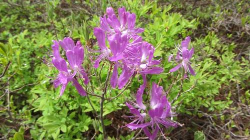
Overall the hike had its challenges with the mosquitoes and rain, but the grand views and interesting terrain paid off in every way. Another successful GO adventure!
There are 52 photos in Album (Note: Move mouse pointer over larger pic and click on NEXT for better viewing)

|
|
||