Trip report
GetFit #3: Mt. Potash
Hiking/Walk DATE: 08/17/2013 - 08/17/2013
Trip/Event Location: Waterville Valley, NH
US
Trip Leader(s): DaveSchumaker , HikerBiker
Max # People: 15
Trip Guiding / Event Fee: No, I will not be asking participants for money
Difficulty Level: Moderate
Trip Description:
This is the third in a series of five hikes geared for people who want to get started with hiking or for veteran hikers looking to get back into the game.
Located just south of the
...Meetup Location:
From the east, turn off NH 16 in Conway onto Kancamagus Highway (NH 112) and drive about 14.3 miles. From the west on I-93, take Exit 32 in Lincoln and drive about 21.8 miles on the Kancamagus.
You'll see a sign for the turn to the trailheads on the south side of the highway: the Downes Brook, UNH, and Mount Potash Trails. Turn here and drive into the large parking area. Look for the group of gay guys. :)
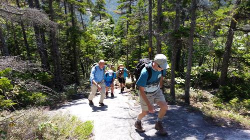
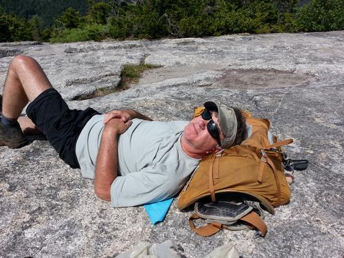
Trip Report/Photos
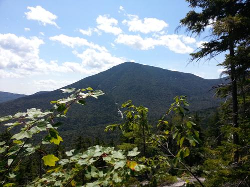
At the top, we had some clear views of the surrounding peaks. I commented on how I hiked Mt. Potash as part of the Get Fit series when I first joined GO. I recalled how several veteran hikers were able to name many of the surrounding peaks. Although I could not name all of them, it was nice to realize that I could recognize quite a few of them.
The group stopped in Lincoln and shared drinks and a lite meal at Gordis. I hope to see everyone again for the final two hikes in the GetFit series.
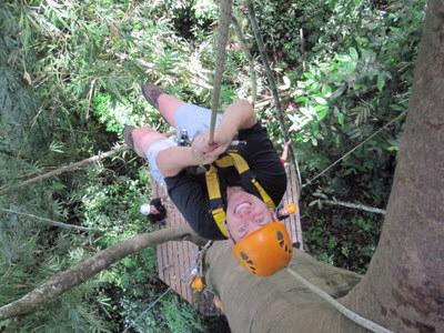
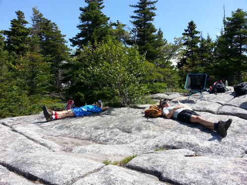
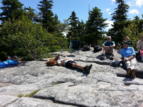
There are 4 photos in Album (Note: Move mouse pointer over larger pic and click on NEXT for better viewing)
|
|
||