Trip report
Mt Roberts Hike
Hiking/Walk DATE: 05/04/2013 - 05/04/2013
Trip/Event Location: Moultonborough, NH
US
Trip Leader(s): jonathanclark
Max # People: 12
Trip Guiding / Event Fee: No, I will not be asking participants for money
Difficulty Level: Moderate
Please join me for my annual NH spring hike, still in the Ossipee Mtns but this year hiking to the 2582' summit of Mt Roberts. We'll hike up to the east of the peak and aproach it from the north
...We'll meet in the parking lot on the right hand side just inside the bus tour gate house entrance to Castle in the Clouds property:
From Rt. 16:
- From Rt. 16 in Ossipee, take Rt. 171 west (Old Granite Road which turns into Water Village Road and then Mountain Road after crossing route 28).
- After crossing Route 28, stay on Rte 171 for 13 miles to Ossipee Park Road; this will be about 2 miles past the original (now car tourist) entrance to Castle in the Clouds.
- Turn right onto Ossipee Park Road and proceed steadily and sometimes steeply up for about 1.2 miles to the parking area.
From I-93:
- Take exit 23 off of I-93 and follow Rt. 104 east for about 8 miles until it ends in Meredith.
- Turn left onto Rt. 3 and go about 0.8 mile to a traffic light just beyond the public docks.
- Turn right onto Rt. 25 and travel 10.1 miles passing through Moltonborough village.
- Turn right onto Rt. 109 and go 2.2 miles.
- Turn left onto Rt. 171 east and proceed for half a mile.
- Turn left onto Ossipee Park Road and proceed steadily and sometimes steeply up for about 1.2 miles to the parking area.
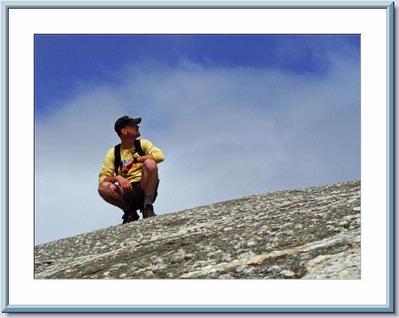
Trip Report/Photos
It was great weather for a hike with great company. We did a Mt. Faraway and Mt. Roberts 8.5 mile loop hike. The hike used the Cold Spring Road (at least 0.5 mi.), the Cold Spring Trail (1.3 mi), part of the Faraway Mt. Trail (1.7 mi.), the High Ridge Trail (2 mi.) and the Mt Roberts Trail (2.5 miles) hiking from the parking lot to the trailheads and back (0.6 mi.) for a total hike distance of approximately 8.5 miles. Most of the trail were old carriage roads. Part of the Mt Roberts Trail was a footpath. (davetb)
- The Trip Has No Photos -
|
|
||