Trip report
4 Day Grafton Loop Backpack
Backpacking DATE: 07/12/2012 - 07/15/2012
Trip/Event Location: Bethel, ME
US
Trip Leader(s): Gandalf , JDNnh
Max # People: 10
Trip Guiding / Event Fee: No, I will not be asking participants for money
Difficulty Level: Strenuous
Join us on the Grafton Loop, a 38 mile backpack in the Grafton Notch State Park in Maine with 12,000 feet of total elevation gain. We will be covering 11 miles per day to complete the loop Thursday-
...The northern trailhead is located where the Appalachian Trail crosses Route 26 in Newry, Maine. From the junction of Route 2 and Route 26, travel North on Route 26 (towards Grafton Notch State Park) 13 miles from Bethel, Maine. There is large trailhead parking lot and we'll be driving a blue FJ Cruiser.
Trip Report/Photos
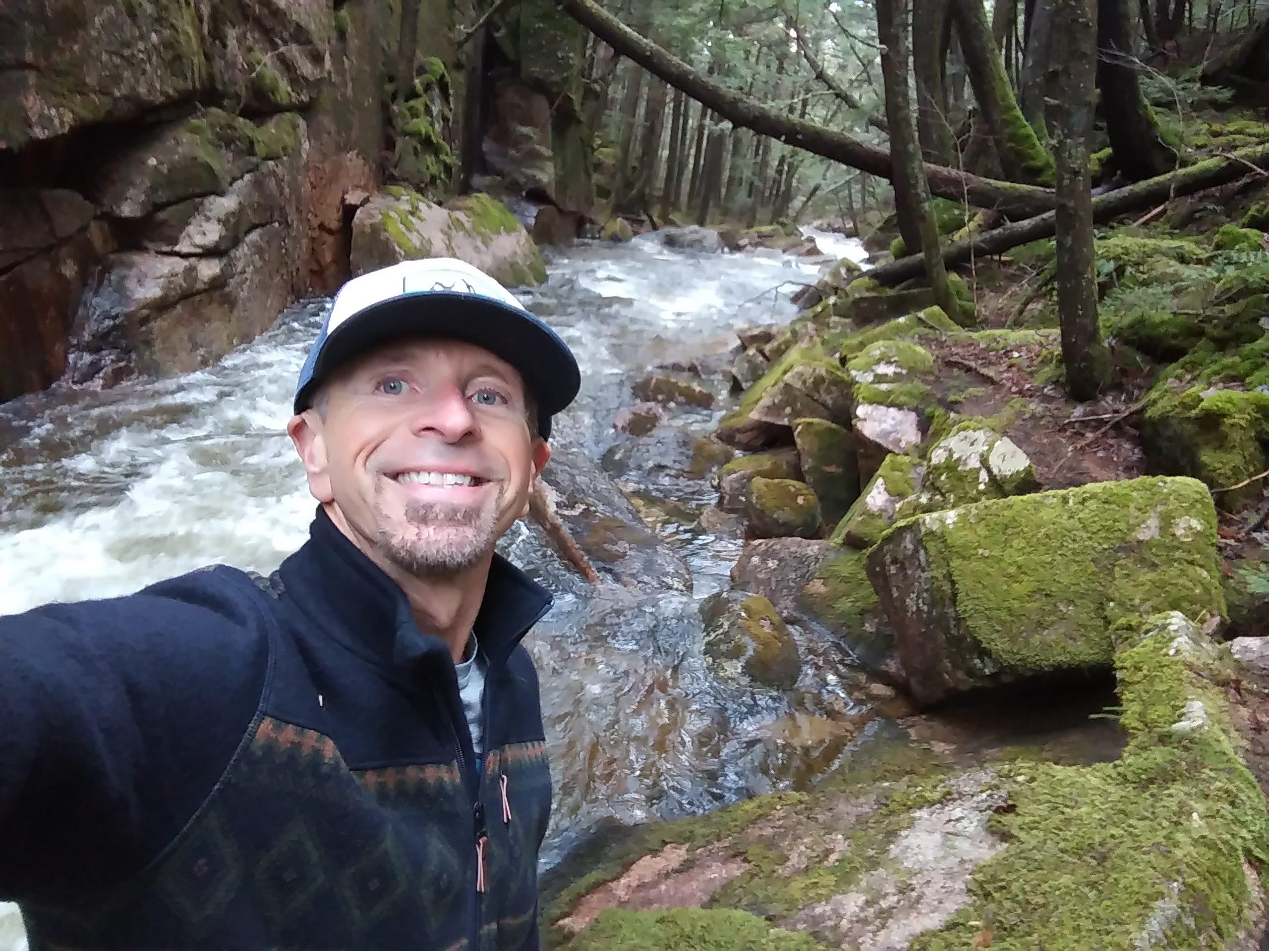
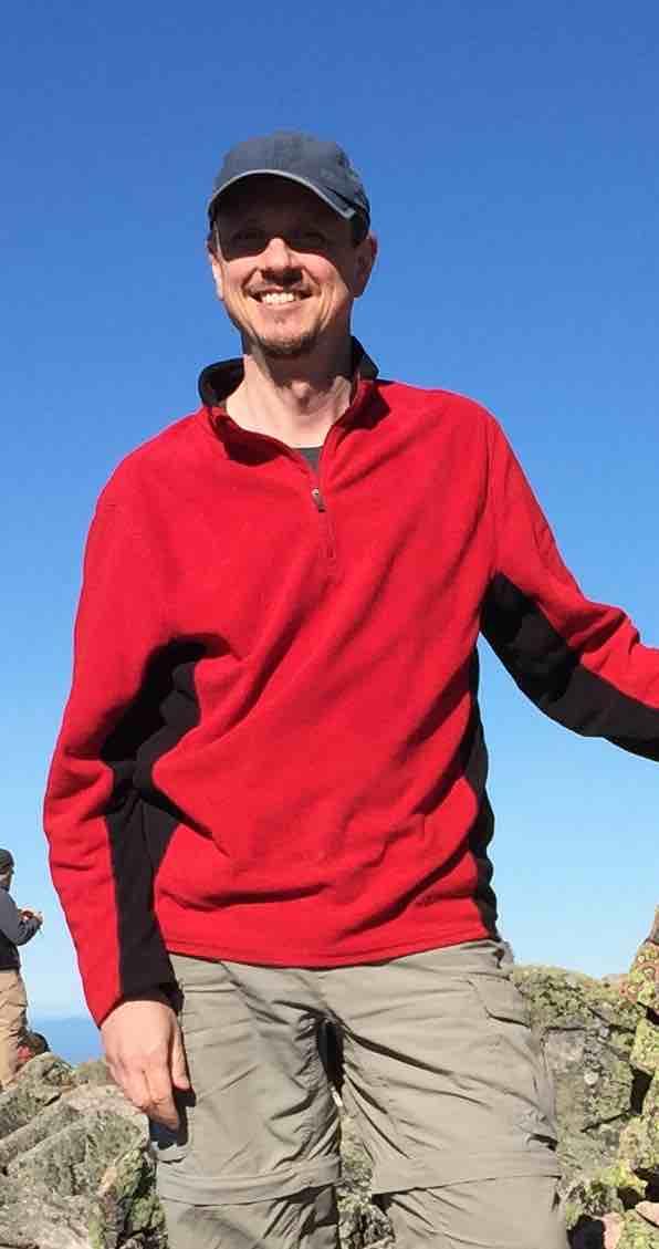
Despite reports of 90+ degree heat, 3 stalwart backpackers consiting of Mike, Jon and Martin set out on Thursday, July 12, 2012 to tackle the new 39-mile Grafton Loop Trail in the Mahoosuc Mountains of Maine!
Day 1 [11.7 miles] Was sunny and hot, with temperatures reaching near 90 degrees. Leaving at around 9:45am, we traveled the loop in a counter-clockwise direction, beginning at Grafton Notch State Park and immediately starts with a climb up Old Speck mountain on the Appalachian Trail, which the Grafton Loop Trail shares for 8 miles from East Baldpate to Old Speck. After 4 miles and 2670 ft. of elevation gain, we arrived at 12:30pm. We climbed up the tower on the summit to enjoy excellent views of the peaks across the way and the valley below. We stopped here for lunch.
The trail then gradually descended down the south side of the mountain and the hiking was a pleasure on this new trail, with luxurious level of dirt to cushion our feet, as it has not yet been worn away by thousands of footsteps, unlike the Appalachian Trail.
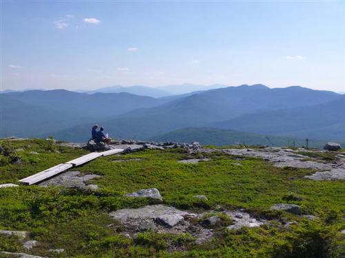
As we climbed up Sunday River Whitecap, we could not notice the extensive trailwork in the alpine zone to preserve the fragile ecosystems. It's one of the best work we've seen ever! The peak was one of the highlights of the loop, with 360 degree views of the Mahoosuc Range and White Mountains to the south and west, Puzzle and Long Mts. to the east and surrounding lakes and rivers to the north.
A short descent brought us to Sargent Brook Camp where we arrived around 6pm. We set up our tents to spend the night.
Day 2 [10 miles] Another hot day with temperatures in the 90's. After breakfast, we headed south around 8am over rolling hills. We met someone who was finishing the loop and asked where we were staying tonight [Stewart Campsite]. He then informed us that the brook was dry and we would need to carry extra water. This would mean we would have to carry extra weight over an elevation gain of 2,300 ft. After some discussion, we decided if we are lugging water up Puzzle Mountain, then we might as well as camp on the summit to watch the sunset and stars! Why spend the night at a dry campsite.
Once we reached Bear River at around 12pm, we spent two hours here swimming, sunbathing and eating lunch. We crossed Route 26 and started to climb Puzzle Mountain, the approximate halfway mark of the loop. Near the summit, we found a flat ledge to make camp at around 6pm and then went up further to tag the summit itself. It was quite breezy up here but it was so refreshing on this hot day. After dinner and hot beverages, we sat down to enjoy a spectacular sunset. Later, in our sleeping bags, we looked up at the skies for some of the best stargazing we've ever had with the Milky Way visible later in the night! This was another highlight of our loop.
Day 3 [11.8 miles] Another hot day greeted us and getting warmer by the minute. This day covered the easiest terrain. We checked out the Stewart Campsite to verify that the stream was dry. We were misinformed. We followed the blue blazed trail from the main campsite down and it led us to water; one of the best sources we saw from any of the Grafton Loop campsites. The campsite itself did not seem inviting to us because it did not have much shade and was buggy. We lunched at the viewpoint on Long Mountain and then followed a lovely stream past a number of campsites, taking time to enjoy a dip in an excellent swimming hole on the way! If heading north, this swimming hole is about a quarter mile before the Lane Campsite. We climbed up to Lightning Ledge and took a break on a short spurt trail to an overlook. The best views of the day. We made it to East Baldpate Campsite around 6pm. We were happy that a stream was close by with ample water for washing up. We set up our tents for our last night on the trail.
Day 4 [6.5 miles] We got an early 7am start with a pleasant 2 mile walk that led to a climb up the southern side of East Baldpate Mountain. The sky was quite hazy as the humidity levels were increasing with each passing day. At the top, we snapped photos of the summit and ourselves. We bid goodbye to the blue blazes of the Grafton Loop and now would follow the familiar white blazes of the Appalachian Trail again for the last 4 miles of the loop. On the summit we had spectacular views to the north and west, including an up-close-and-personal view over to West Baldpate. We descended over the open rock face following cairns. Our route dipped briefly down for a short while, then back up to a gradual climb of West Baldpate, only to drop steeply down the rugged trail over it's west side. We were very impressed by the length of the rock staircase for this descent. By this time, it was getting real hot.
The last mile of the trail was extremely pleasant, following another stream and very moderate terrain. Upon reaching Grafton Notch parking area, we congratulated each other with much enthusiasm! We found out from a park ranger where we could take a dip to cool off and then headed over to the Sunday River Brewery for burgers & beer.
The Grafton Loop Trail, although constructed only a few years ago, is quickly becoming one of the most popular backpacking trips in the region. The Grafton Loop trail was a true backpacker's trail, and a welcome addition to the roster of GO backpack trips in the future!
>>Click Here To View Pictures/Slide Show [Press F11 for full effects]
- The Trip Has No Photos -
What Members Are Saying About This Trip/Event
- The wonderful weather, spectacular summits,cohesive trio, sumptuous stargazing and secluded swimming holes == an EPIC four days of FUN in the MAINE WILDERNESS!! - JDNnh
- Thanks Mike & Jon for a few memorable days on the trail, it doesn't get better than this. The Grafton loop is indeed the perfect getaway for a 4 day backpack, quite different from the AT or the Whites - highly recommended. I couldn't have asked for better company and the chance to get to know you better. See you next time! - wildcat
|
|
||