Trip report
Mt Monadnock Hike
Hiking/Walk DATE: 11/25/2011 - 11/25/2011
Trip/Event Location: Jaffrey, NH
US
Trip Leader(s): shep5
Max # People: 12
Trip Guiding / Event Fee: No, I will not be asking participants for money
Difficulty Level: Moderate
Join me for this 6.5-7.0 mile loop hike up Mt. Monadnock (3,165' elevation). We'll start at the Old Toll Road Trailhead and take the Parker Trail/Cliff Walk to the summit. This trail
...The Old Toll Road parking lot is approximately 5.2 miles west of downtown Jaffrey on Rte. 124 (measured from the intersection of Rts 124 and 202). It's on the right-hand side of the road and clearly marked.
Trip Report/Photos
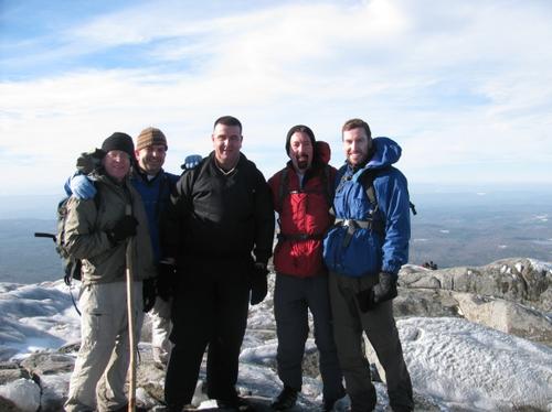
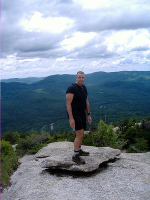
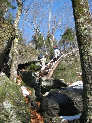
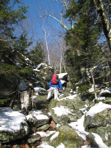
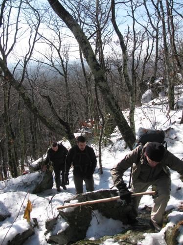
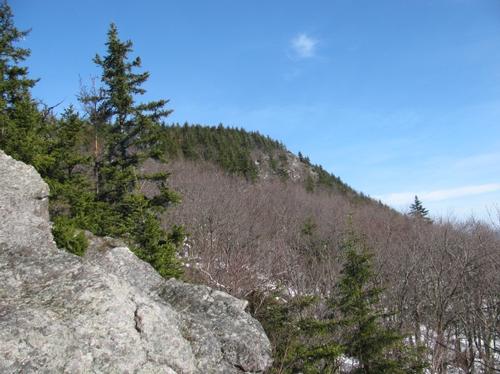
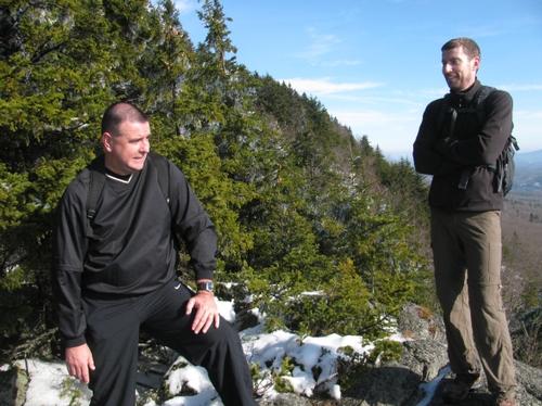
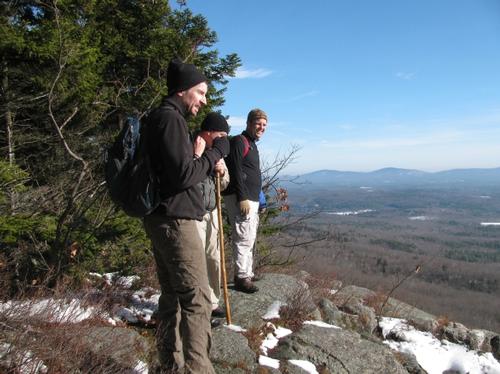
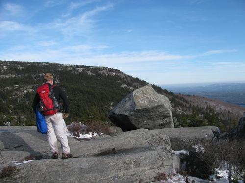
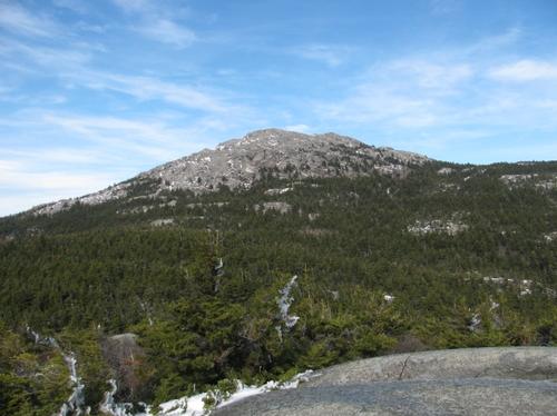
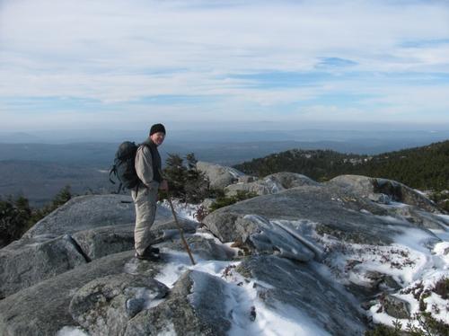
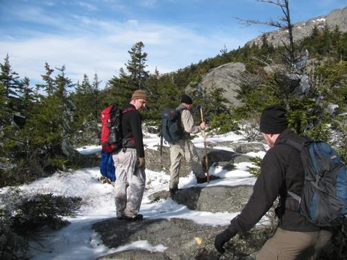
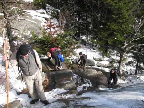
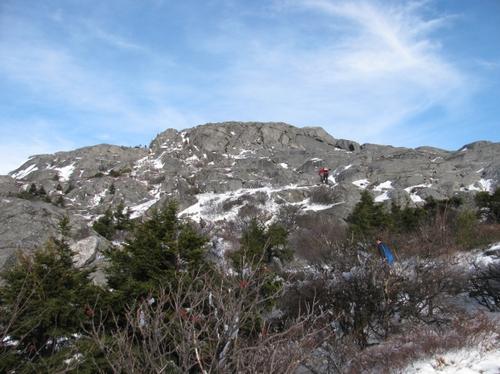
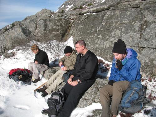
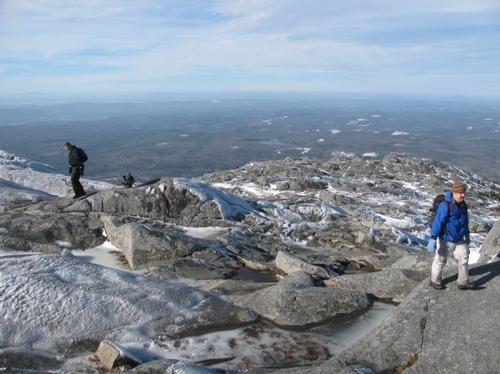
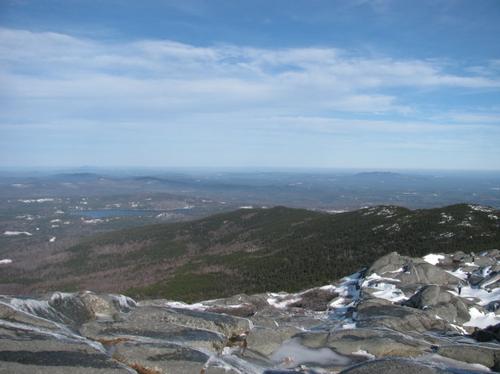
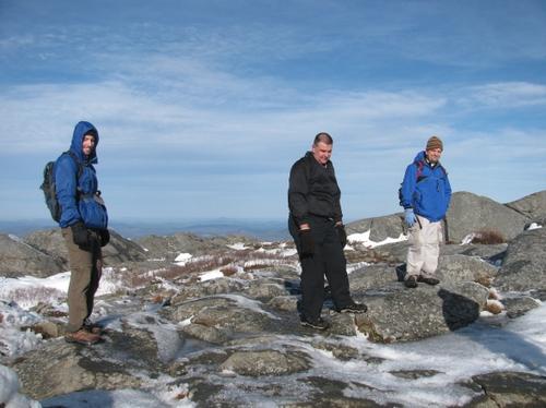
On Friday, November 25th, five of us congregated at the Old Toll Road parking lot for a post-Thanksgiving Day hike up Mt. Monadnock. We were Norris, Woody, Lee, John and myself. After waiting for one no-show, we headed out at approximately 9:45AM. It was already relatively warm out (40s) with sunny, blue skies...and we still had some snow cover on the ground. We initially walked part way up the long driveway, which makes up the lower portion of the trail. We then diverted onto the Parker Trail on our way to the Cliff Walk. The Parker Trail mostly meanders through the woods and then the trail started a more aggresive climb once we turned onto the Cliff Walk. This is one of the nicer and least used trails on the mountain, but it affords many open ledges with views along the way up to Kiasticuticus Peak...a broad shoulder peak also designated as Bald Rock. We reached this point at about 11:45AM and this peak also provided the first significant view of the mountain summit. There was also significant rime ice on the trees here. The descent off of this peak was icey, but manageable, particularly since we weren't wearing extra traction. From here the Cliff Walk ended and the Smith Connecting Trail continued into the woods until it reached the Amphitheater Trail. We took this trail part way to join up with the more well-traveled White Arrow Trail. We took this the rest of the way up to the summit, stopping just below the summit in an area just out of the wind to enjoy our lunch. It was about 12:30PM. After a break of about 20 minutes we pressed on for the summit. It was a combination of exposed rock, slushy snow, water and ice up to the exposed top. Once we made the last significant ascent up a small narrow crag we were greeted with a mostly ice-encrusted summit. The ice made it a little difficult to maneuver over the exposed granite on the short distance to the top. There was also a stiff chilly wind, but it wasn't too bad. We reached the marker took in the view for a bit and then decided to start our descent. It was just before 1PM.
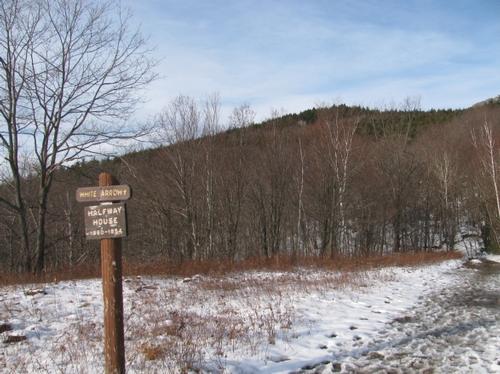
Initially, the plan was to descend off the summit by way of the Smith Summit Trail on the way to Monte Rosa (a really nice shoulder peak with a weather vane). Unfortunately, with the painted trail markers covered up with snow and ice, I couldn't find the exact path. There was also no sign that anyone had used this trail recently and this rather steep trail was encased in ice, which would have made it very difficult without extra traction. Instead we decided to descend back the way we came returning via the White Arrow Trail all the way back to the Old Toll Road. This was well-traveled, but also very wet in stops, since there was considerable snow-melt running down the trail (becoming a river in a couple of spots). We reached the Old Halfway House location at 2:15 and after taking the long, easy walk down the Old Toll Road we made it back to our cars at just before 3PM. After the hike most of us went back to Jaffrey for a drink and some pizza (Lee took off, since he had other plans) before calling it a day.
Thank, guys for joining me for the hike...and giving up your Black Friday shopping and dodging of crazy pepperspray-yielding shoppers! It was an awesome day out and it was great to spend it with wonderful group of guys. Even though it was an unusually warm day, the mountain offered a nice glimpse of the winter ahead.
There are 20 photos in Album (Note: Move mouse pointer over larger pic and click on NEXT for better viewing)


What Members Are Saying About This Trip/Event
- Thank you Stephen! - 2pac
|
|
||