Trip report
Hike the Belknaps
Hiking/Walk DATE: 04/18/2010 - 04/18/2010
Trip/Event Location: Alton, NH
US
Trip Leader(s): WalkaboutBrian
Max # People: 10
Trip Guiding / Event Fee: Yes, but I'm not running this; I'm looking for other members to join me
Difficulty Level: Moderate
TRIP PLANS CHANGE (4/17): The original 10 mile hike is being adjusted to address some safety concerns due to the current weather and trail conditions. As of the 17th there is over two inches of
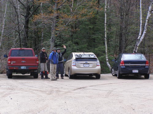
...We will meet at the Mt. Major parking lot off of NH Route 11 in Alton, NH. From the Alton traffic circle (junction Route 28 and Route 11) the parking area is 6 miles west on Route 11. From the Laconia Airport the parking lot is about 10 miles heading east on Route 11. Be ready to park along the side of Route 11 if the parking area is full. I will be driving a green Ford Ranger with several antennas on it. Parking is free.
Trip Report/Photos

The Weather
It is amazing what April weather can bring you in New England. As everyone got in their cars and drove to the trail head rain showers spilled hesitation as to whether it is really a good idea to go for a hike. But a little bit of blue sky broke as we met at the parking lot. A few guys said it rained all the way up to the last ten minutes of their drive.
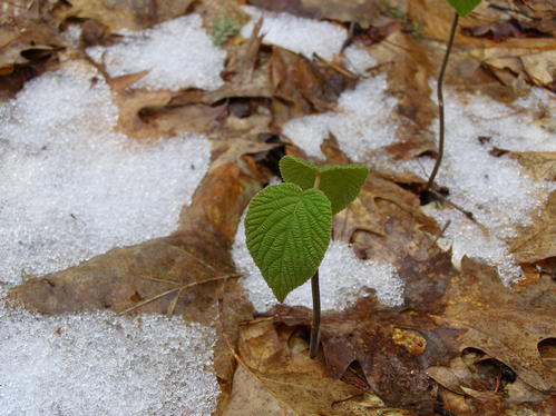
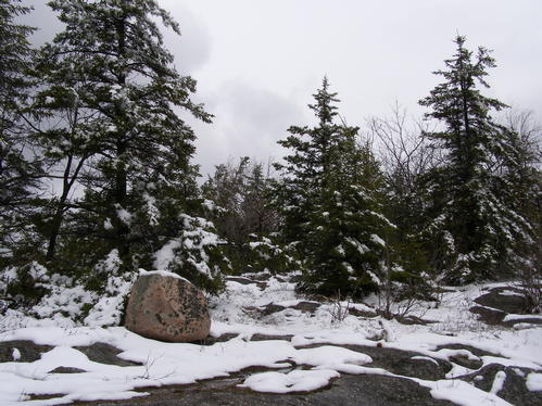
We started our hike with small glimpses of sun and a chance of a fair day. We figured it was warmer than originally expected, possibly hitting the 50s. As we climbed the blue spots disappeared behind a sheet of white than eventually dark gray clouds, patches of snow on the ground became bigger, and we soon became continuously spattered on by the Hemlock branches above holding waterlogged snow.
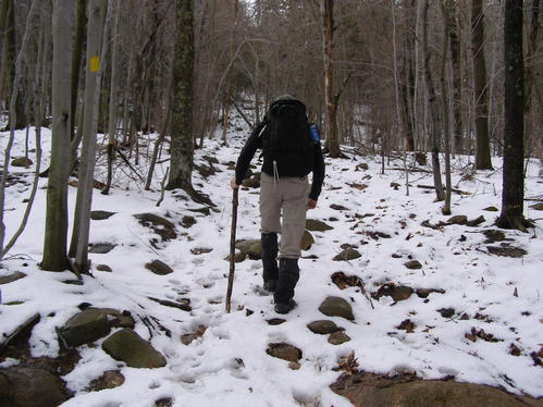
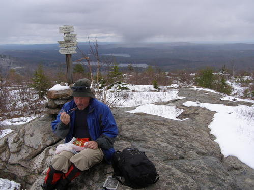
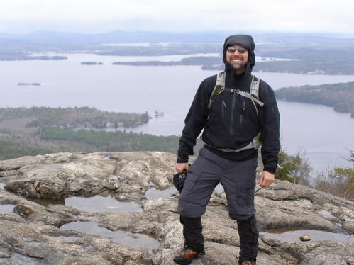
We hiked in about three inches of snow and slush over a saturated ground in the higher elevations and were rewarded with fair views of the valleys below and rain bands traveling across the horizon. One of these bands came right over us giving a cold blast of snow and sleet than a short lived rain during our lunch brake on Mt. Straightback. Than a moderate breeze kicked up with a fair chill forcing us to move on. As we approached Mt. Major we experienced the same chill and wind though fewer rain bands. Views of the lake were great and the mountains beyond had their tops chopped off by the clouds.
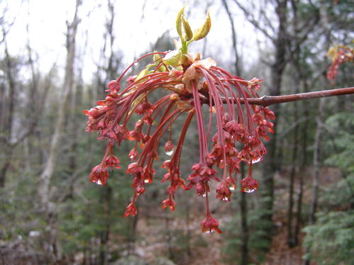
As we began to descend a short rain came than just gray sky. The temperature began to warm. While approaching the parking lot the sun began to shine stronger as if it waited for us the entire time.
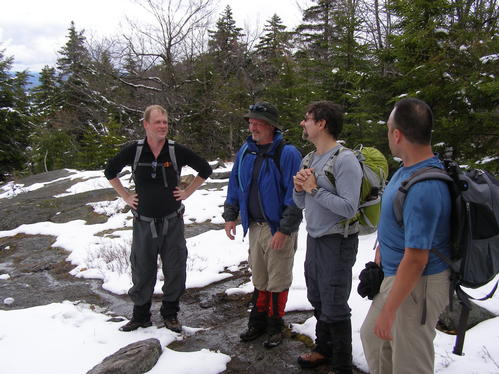
The Group and Hike
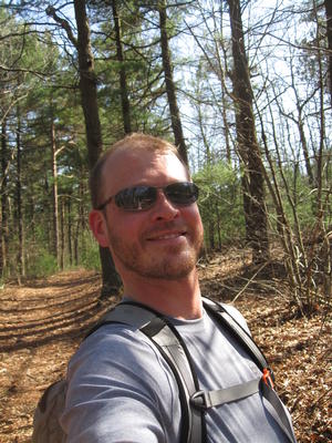
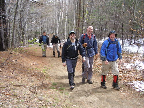
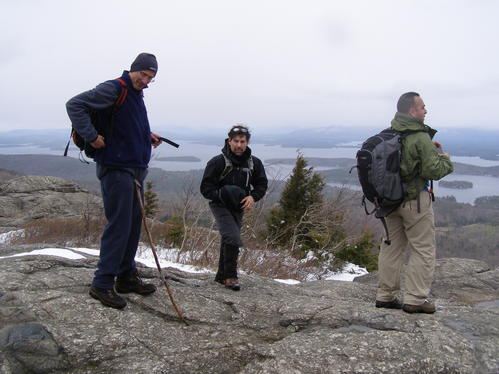
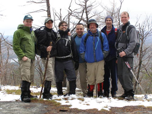
Seven of us met up at the Mt. Major parking area and geared up for the hike. We did have one setback of a forgotten rain jacket but it was remedied by a spare that Ron had available. We introduced each other and headed on the trail on time.
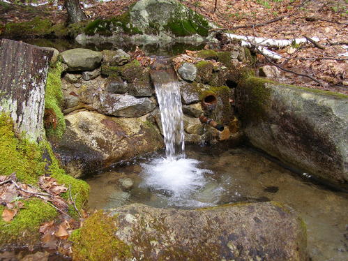
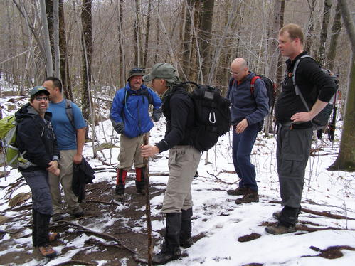
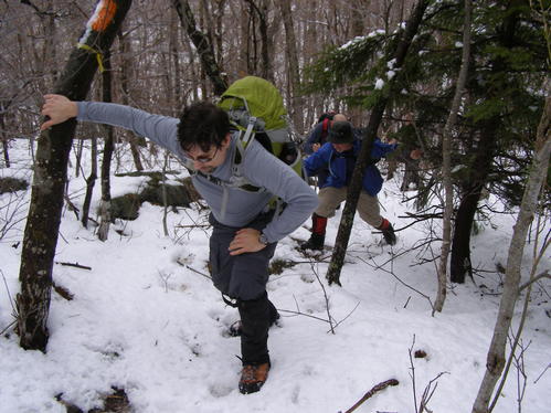
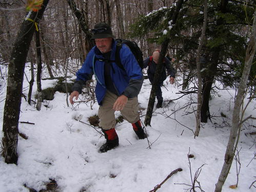
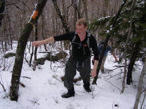
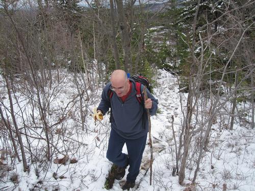
As we hiked the trail progressed from a wet and muddy surface to about three inches of snow in the higher elevations. Several stream crossings were easy and we broke trail through the snow for about a half mile of the climb. Other than a decent little cardio workout and snow dripping off the Hemlocks the accent was enjoyed by all.
We stopped at the summit of Mt. Straightback for lunch than shortly headed towards the next peak.
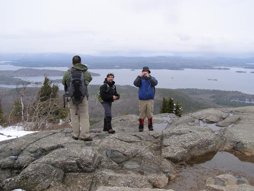
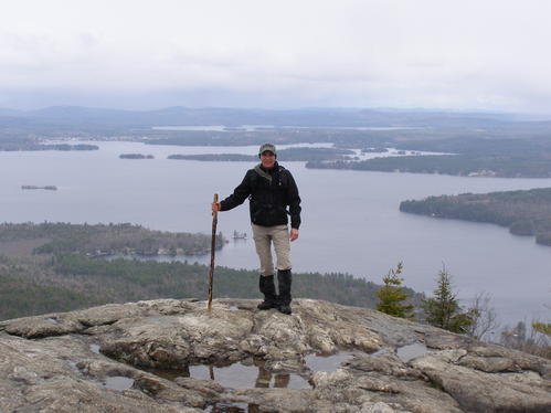
Once we made it to the Mt. Major peak we were awarded with fine views of Lake Winnipesauke and many mountains, we took many photo opportunities, re-gathered a few from our group who began hiking the wrong trail, than headed back to the parking lot.
As we progressed down the trail some felt the decent in their knees and some dealt with wet shoes. Less snow, warmer air, and more sun reintroduced us to spring. Than we made the parking lot where the sun was OUT!
Afterwards we went to Shibly's, a small drive-in on the side of Alton Bay. There we enjoyed frozen yogurts, fried foods, and spring water flowing from the tap. We socialized a bit than headed off.
Notes
It sounded like the last minute change from a 10 mile hike to a 5.5 mile hike was generally accepted by all and ecstatically accepted by a few, though Ram was ready to tackle the long route. The trails we took were well marked and traveled. The entire hike was three and a half hours. Everyone earned a Not-So-Fair-Weather badge on this hike.
There are 20 photos in Album (Note: Move mouse pointer over larger pic and click on NEXT for better viewing)

|
|
||