

HIKES & EVENTS
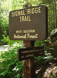
Mt Carrigain
Full Day Hike
DATE: May 29, 2022
END DATE: May 29, 2022
Hike/Event Location: Harts Location NH
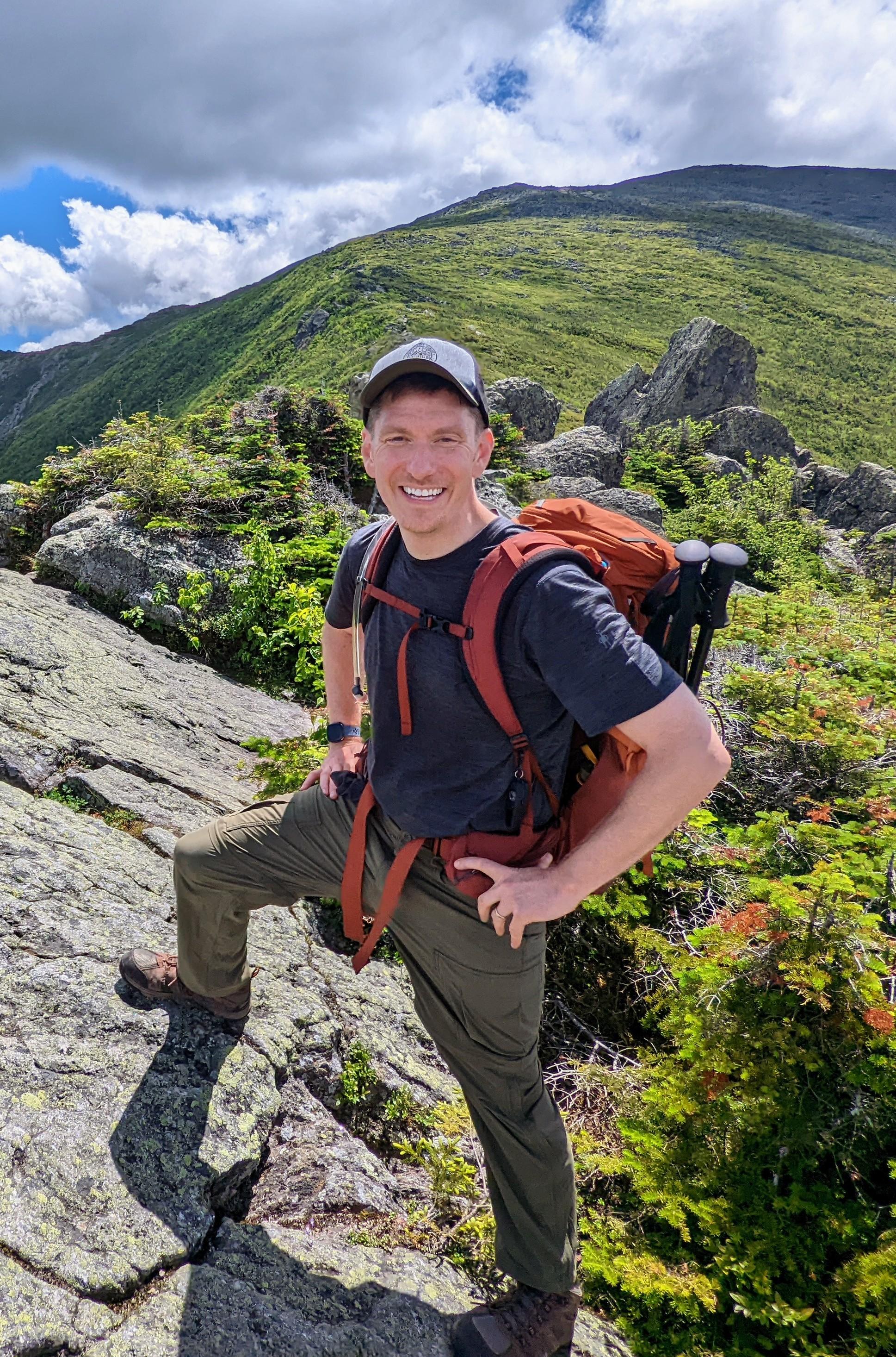
Trip Leader(s)
nhclimber03264
Plymouth, NH United States
Meeting Time: 9:00 AM
Max # People: 12
Hike Guiding / Event Fee: No, I will not be asking participants for money
Hike Difficulty Level:
Strenuous
(Do you qualify to attend with this hike difficulty rating? Click Here.)
Sign Up To This Trip/Event
You must be a least a guest member to participate. Comments such as "+1" or "bringing a friend" are NOT permitted. All participants must sign-up for the event individually.
Select your mode of transportation, make any comments and then click on button.
You are not logged in.
Please, Log In
Summary

THIS HIKE CHANGED FROM SATURDAY TO SUNDAY DUE TO WEATHER CONDITIONS.
MAY 29 2022
Mt Carrigan via Carrigan Notch and Signal Ridge: elevation (highest point) 4,686ft, distance to highest point 8.1 miles, total trip distance 13 miles.
This trip is considered Strenuous. Some steep grade, pace and distance are factors.
This is not for beginners or first hike of the season.
Group will meet at 9 am and depart up the trail at 9:15.
Trailhead is located on the Livermore Road off route 302 in Harts Location.
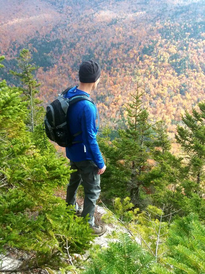
This hike will begin by following the Signal Ridge Trail. The first 2 miles is steady but consistent in elevation gain reaching the Carrigan Notch Trail. The notch trail follows old logging roads and railroad beds, again a steady but gentle grade reaching the Desolation Trail at 4.6 miles. The Desolation trail is where the work begins. Steep grade with areas of slippery rocks is expected. Desolation Trail meets the Signal Ridge Trail at the summit of Mt Carrigan at 8.1 miles. Signal Ridge will be the return route to the trail head. Note that weather or trail conditions could alter this route. Flexibility is key on this trip. Nothing is written in stone except the mountain itself.
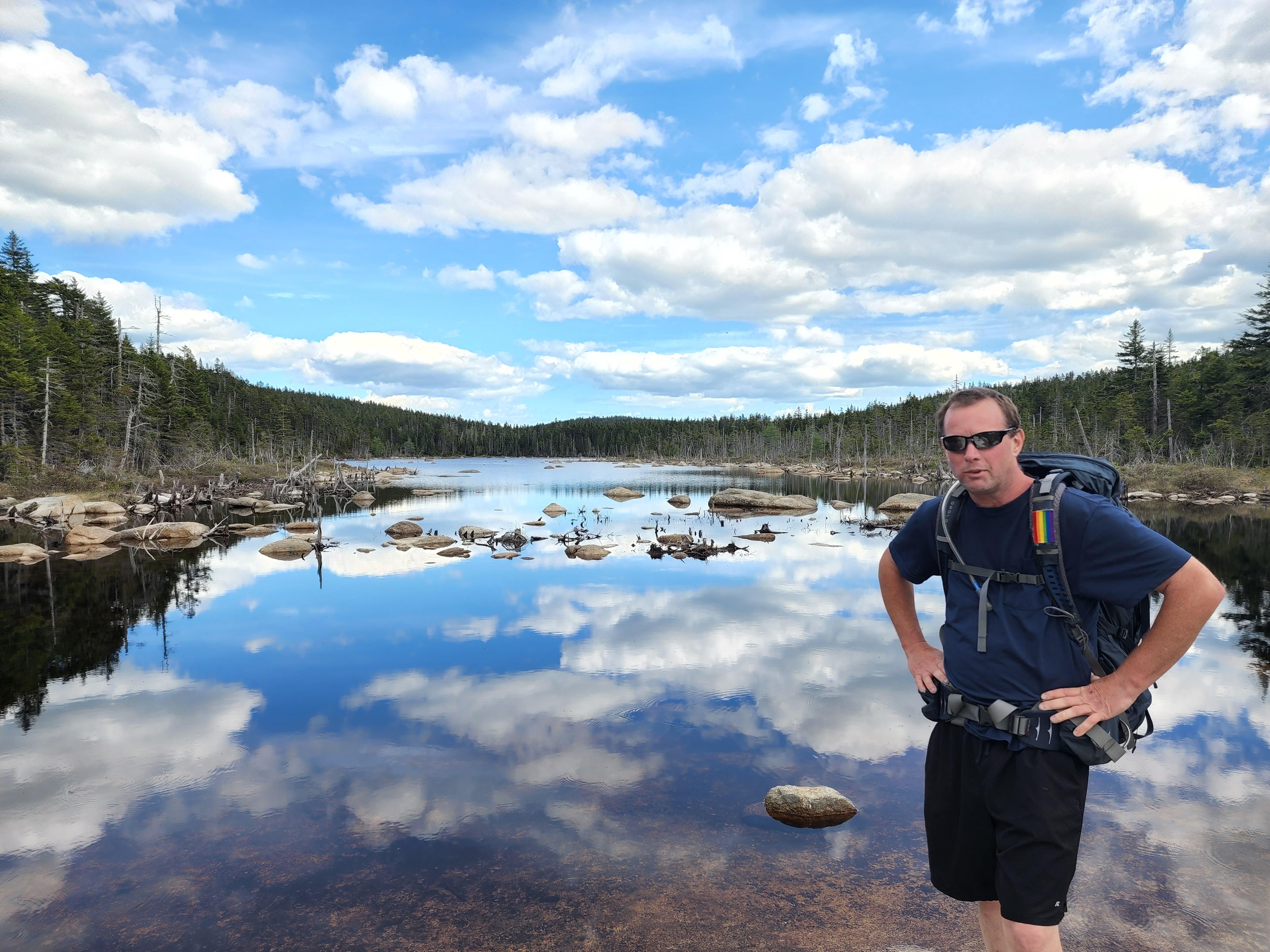
PREPARATION/WHAT TO BRING: This is a strenuous hike for experienced hikers. White Mountains can have unpredictable and extreme weather changes year-round. It is recommended that hikers have extra dry clothing and wind protection. Always have water (no guarantee for places to refill) and food.
If you need suggestions on what to bring, PLEASE ASK!! It is also highly recommended to bring a BLISTER KIT (DIY kits online). If this is the first hike of the season or brand-new footwear, foot first aid most likely will be necessary.
For this trip it is important to bring along flexibility, patience, and a sense of humor.
It is possible for black flies and ticks to be out by this point in the season. Bug repellent is recommended. Remember the one thing worse than annoying bugs is people complaining about annoying bugs. Helpful hint: Avoid perfumed scents in soaps, bodywash and shampoo. These will attract bugs.
Group Size It is not fun leaving folks out of trips. If you cannot attend, PLEASE cancel so others may join. If you are on the waiting list, please contact me days prior to the trip, most likely there is room and if needed this trail will allow us to break the group into two smaller groups. Dogs are the FULL responsibility of the owner and cannot interfere with the hike or the participants. This hike may not be ideal for dogs because of other dogs and hikers. This trail is narrow and steep. It is up to the owner. A leash (close at hand) is highly recommended (also required in WMNF).
Decreasing the impact to the environment is always a priority! Please plan to “carry in and carry out” all items. It may also be possible to collect other hikers’ debris along the way.
Weather: If weather is a concern any updates or cancellation information will be posted by the Thursday prior by 6pm. If it is a cancellation, it will include a rescheduled date so participants can watch for that opportunity.
THIS HIKE CHANGED FROM SATURDAY TO SUNDAY DUE TO WEATHER CONDITIONS.
MAY 29 2022
Safety is a priority! Any time a hiker is injured or lost a HUGE team of volunteers is dispatched to aid in the search and rescue efforts. No one wants to be injured or put other in harms way. Always be prepared. Know your limits. Any questions feel free to contact me.
Group will meet at 9am and depart up the trail at 9:15.
THIS HIKE CHANGED FROM SATURDAY TO SUNDAY DUE TO WEATHER CONDITIONS.
MAY 29 2022
Directions To Trailhead Parking Lot
THIS HIKE CHANGED FROM SATURDAY TO SUNDAY DUE TO WEATHER CONDITIONS.
MAY 29 2022
Group will meet at 9am and depart up the trail at 9:15.
Where to meet: Group will meet at the intersection of Livermore Road and Route 302. We will carpool to the trail head. Please be on time. Road is well marked by WMNF.
Because of trip preparation the trip leader is unable to provide a ride for this trip.
Cell service is inconsistent. GPS will get you your quickest route to the trailhead.
Trip Leader
 Invite To Be Your Buddy
 Send Email
- Online Status: OFFLINE
- Last Login: 04/19/2024 10:20 AM
- Member Since: 10/09/2019
- Approved By: Gandalf
members signed up for this event
- Online Status: OFFLINE
- Last Login: 04/19/2024 10:23 PM
- Member Since: 12/16/2008
- Driving My Own Car
(Possibly willing to give guys a ride)

- Online Status: OFFLINE
- Last Login: 06/04/2023 09:13 AM
- Member Since: 06/20/2009
- Driving My Own Car
(Willing to give guys a ride)

- Online Status: OFFLINE
- Last Login: 04/18/2024 09:25 AM
- Member Since: 01/24/2009
- Driving My Own Car
(Willing to give guys a ride)
- Online Status: OFFLINE
- Last Login: 04/16/2024 05:24 PM
- Member Since: 07/22/2018
- Driving My Own Car
(Possibly willing to give guys a ride)
- Online Status: OFFLINE
- Last Login: 04/20/2024 06:05 AM
- Member Since: 06/21/2014
- Driving My Own Car
(Willing to give guys a ride)
- Online Status: OFFLINE
- Last Login: 04/17/2024 08:49 AM
- Member Since: 08/23/2021
- Driving My Own Car
(Possibly willing to give guys a ride)

I will be arriving at the NH house (Bear Pond) at 1PM Saturday so you can arrive anytime after that on Saturday. Saturday "Carbo load" dinner will be John's lasagna and I will bring salad. Sunday dinner: we can grill something on the deck. Bob

THIS HIKE CHANGED FROM SATURDAY TO SUNDAY DUE TO WEATHER CONDITIONS. MAY 29 2022
Watch the weather and check you emails. Will update tomorrow (Thursday). JT
Carl and Chuck!!!! Please check email and contact me regarding updates. Thank you JT

I can bring a lasagna casserole for the potluck. Will also bring blueberry muffins.
Everyone is invited to my house near Franconia Notch, NH after the hike for a Happy Hour and Pot Luck. Also, everyone is welcome to stay overnight on Friday or Saturday nights. Email me for directions to the house. Currently, JT, David, & John are planning to stay overnight on Fri and/or Sat. Looking forward to kicking off the Summer Hiking Season!
 |
 |
