Trip report
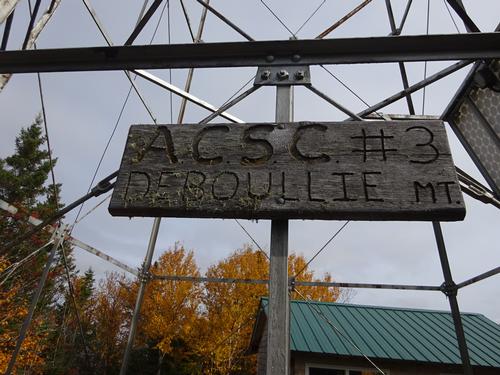
Deboullie Mtn - hike to fire tower
Full Day Hike DATE: 10/10/2021 - 10/10/2021
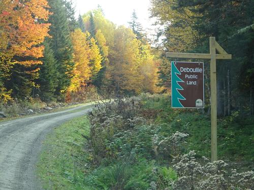
Trip/Event Location: Deboullie Public Land - North Maine Woods, ME
US
Trip Leader(s): BillyB1976
Max # People: 6
Trip Guiding / Event Fee: No, I will not be asking participants for money
Difficulty Level: Moderate
This hike is WAY up in northern Maine near Fort Kent. So far north that nobody is going to want to drive up with such short notice, or even with several weeks notice! LOL :) But I&#
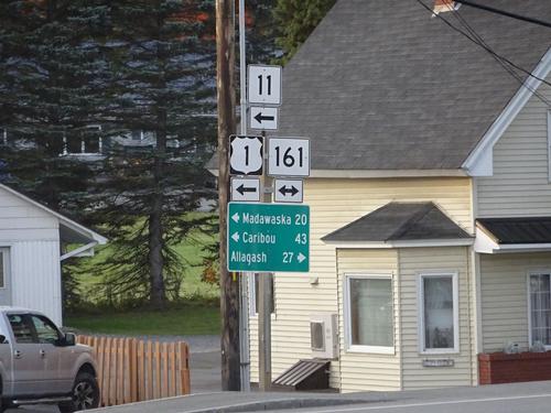
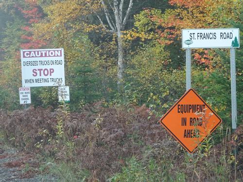
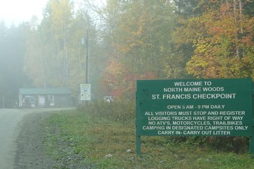
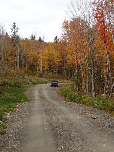
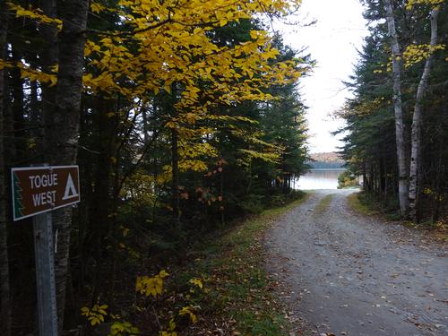
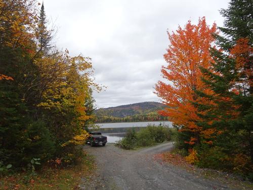
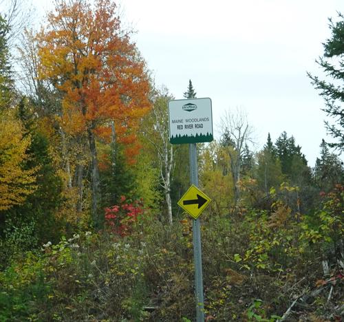
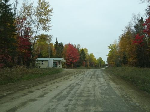
...The meeting spot will be at Chamberlain's Market on Rt. 161 in St. Francis. The road into the woods is next to the store. I'll be waiting there off to the side in a black Nisan Frontier pickup truck, plate # 6039 IJ . From there I'll lead the way to the trailhead.
It is about 13 miles to the trailhead from the store.
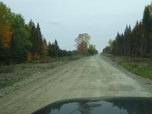
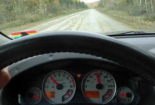
Total woods road mileage on this trip will be approximately 65 miles.
Directions:
Take I-95 north to Sherman, Exit 264. Take Rt. 11 north 105 miles to Ft. Kent.
Rt. 11 goes through some remote areas, so make sure you have plenty of gas.
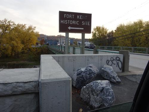
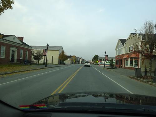
Turn left at the traffic light in Ft. Kent and follow Rt. 161 west (signs say north) 22.2 miles Chamberlain's Market on the left.
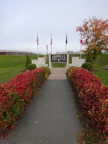
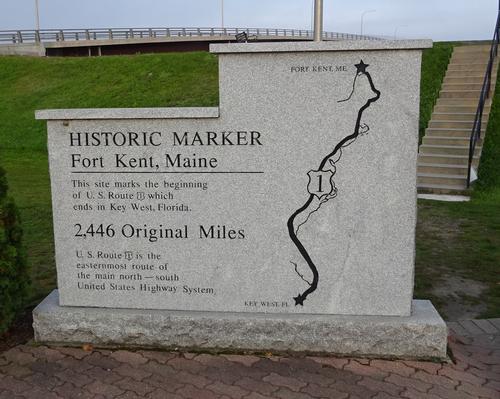
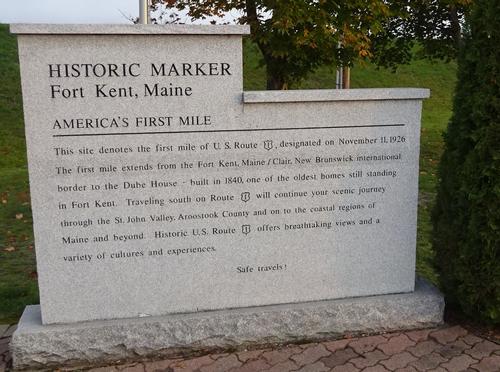
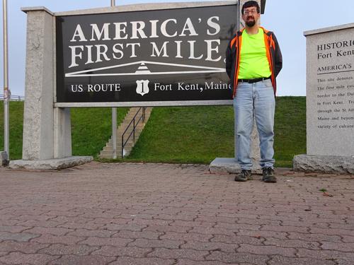
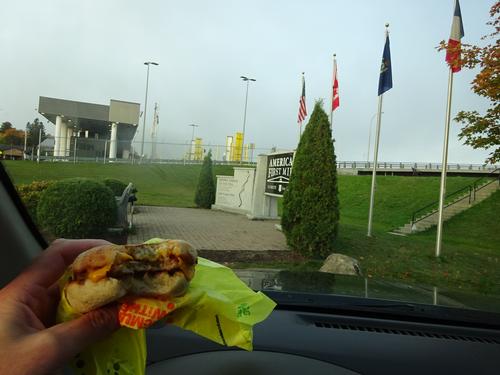
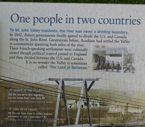
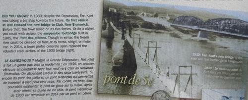
This stretch of road in Ft. Kent is also the first mile of U.S. Rt. 1. America's First Mile Park is located just before the U.S. Customs station on the right.
Fill your gas tank and get supplies in Ft. Kent.
If searching for Chamberlain's Market using Google, be sure to use 's and not just s. Chamberlains Market brings up the wrong location.
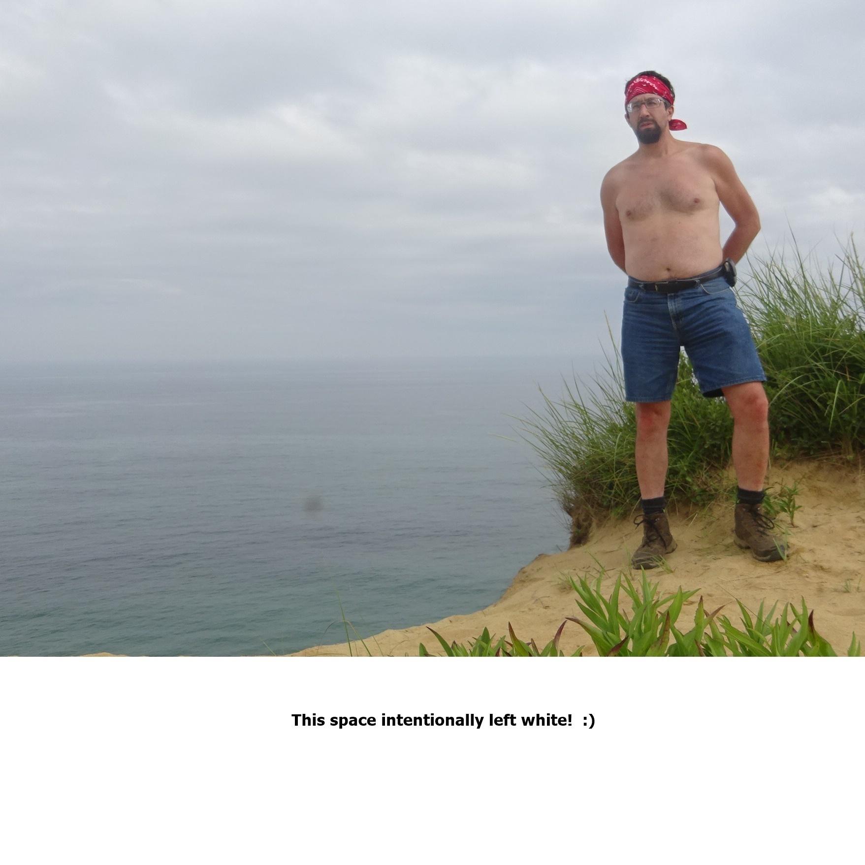
Trip Report/Photos
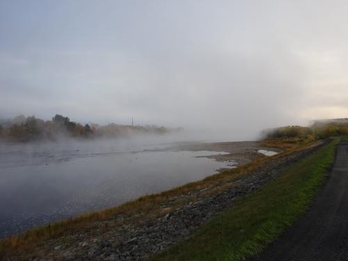
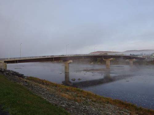
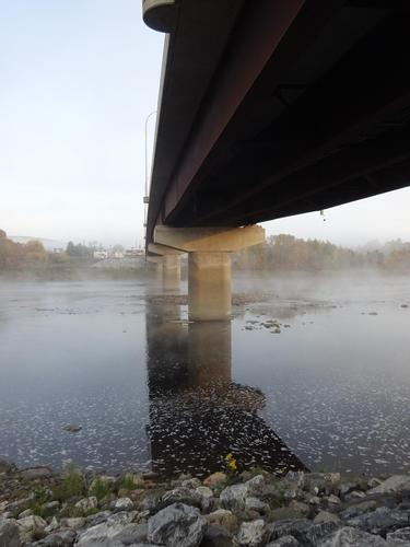
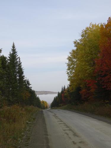
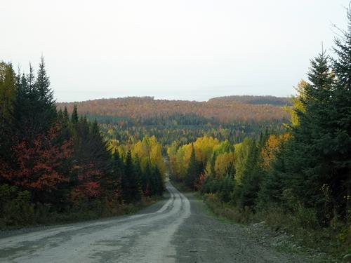
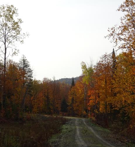
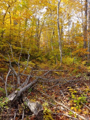
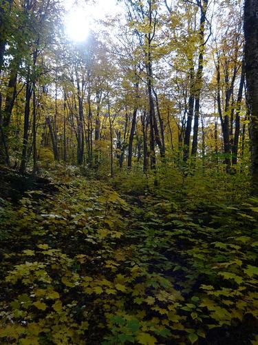
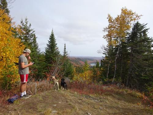
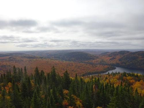
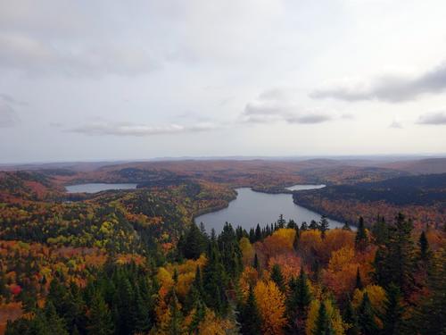
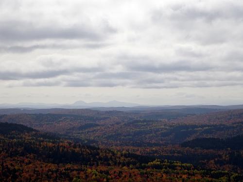
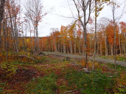
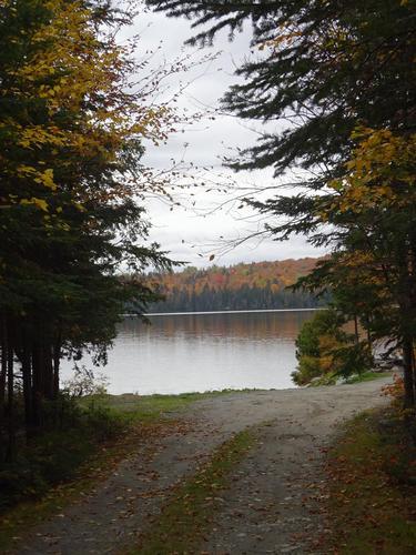
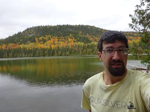
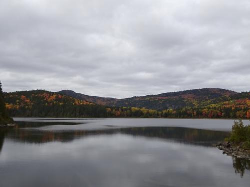
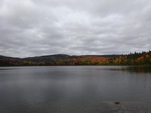
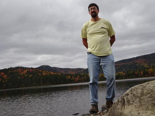
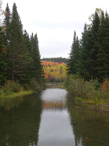
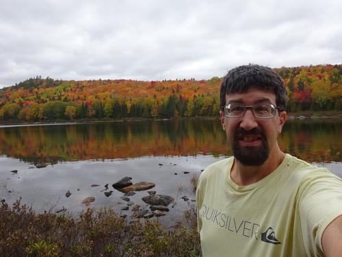
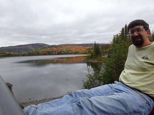
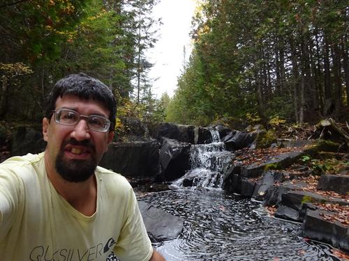
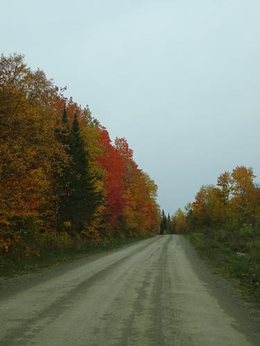
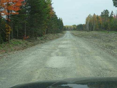
Good fall day for a hike. A little cloudy, but still nice.
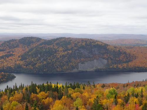
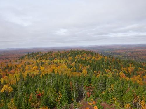
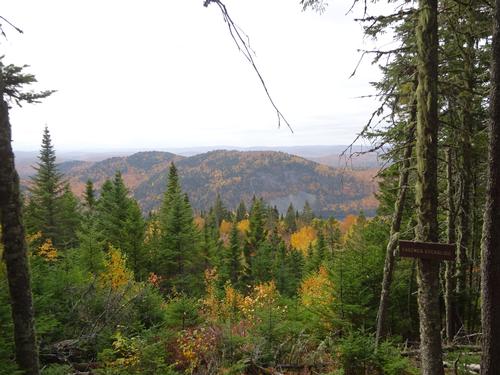
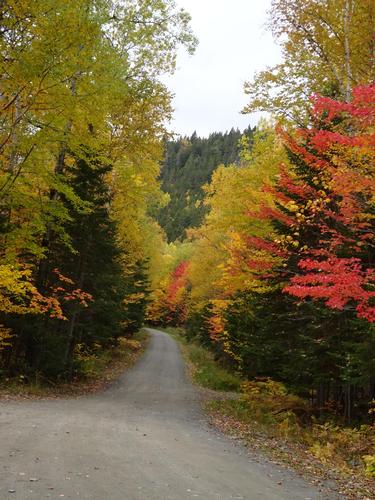
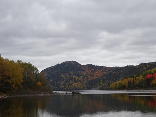
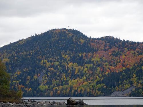
The purpose of this trip was to hike up Deboullie Mtn. - elevation around 1,980 feet, and to also do some leaf peeping before the leaves are gone.
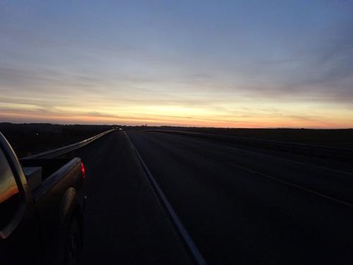
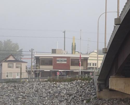
I stopped in Ft. Kent before continuing to my destination. I had a meeting time for this hike at 8AM, and I pulled into the meeting spot at exactly 8AM. Couldn't have timed that any better. I knew there wasn't anybody waiting for me, but it was funny I arrived at the exact time. :)
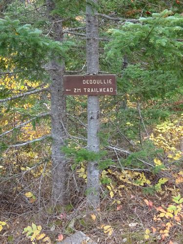
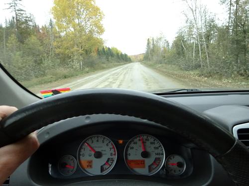
Back on Labor Day weekend I had scouted this area for the snowmobile trail that goes up the "boring", back side of Deboullie Mtn. I found what I felt should be it, but today I decided to scout a little more just to be safe. I parked about 0.3 miles beyond the spot I found on Labor Day weekend and went into the woods just beyond the cutover area and headed towards the spot I found on Lab Day weekend. I figured if there was another trail I'd be able to see it since I was not in the cutover area. Eventually a came to the spot I had found on Labor Day weekend without finding any other trails. This made me more certain that trail was the correct one. Since I was scouting, I did not bring my backpack, so hiked down to the road and walked the road back to my truck and returned to the trail and started the official hike. I spent about 1 hour scouting, so my start time was a little later than planned. I'm doing all of this by looking at Google Earth and TOPO maps. I have no other navigation aids to assist me.
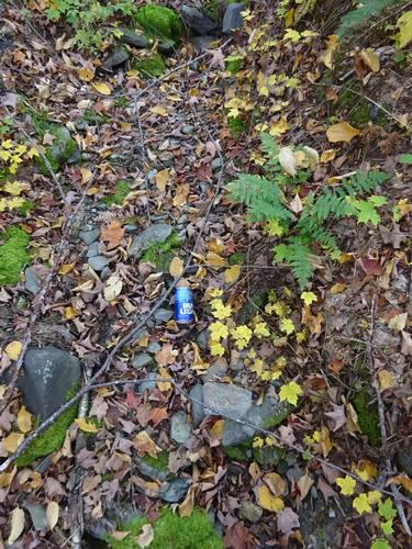
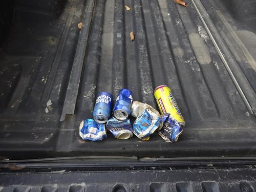
I found evidence the trail had been used. Cut trees was one clue. Another was beer cans! When unsure if you are on the trail, just follow the beer cans! :( The hillbilly, rednecks that go up Deboullie by snowmobile must drink on their rides, and just throw the cans when done! Fucking jerks! On my way down I picked up the cans I could see, but I'm sure there are still more under the leaves.
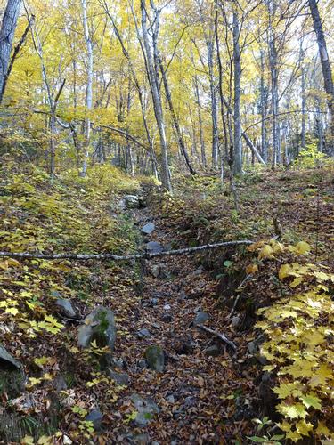
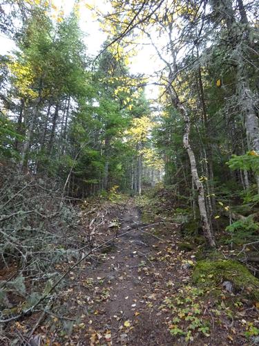
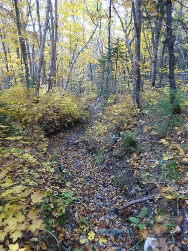
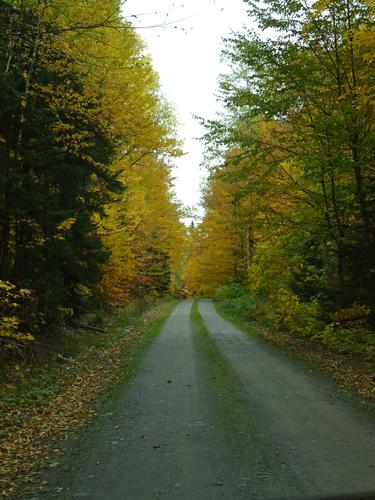
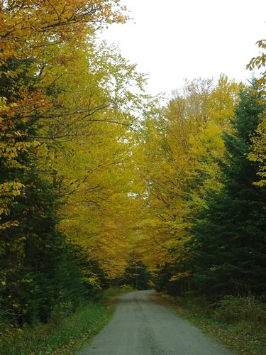
For the most part the trail was easy to follow. I did have to scout at three locations. In some spots the trail was severely eroded on the hills. One spot was probably 4 feet deep!
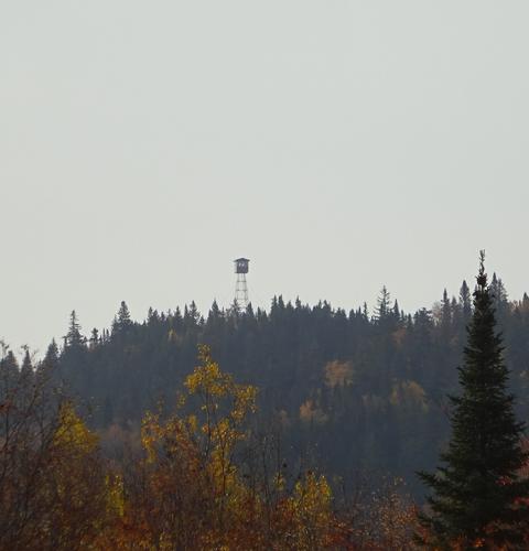
It took me 50 min. to get to the top of Deboullie Mtn. The trail up is about 1.75 miles. As expected nobody was on the trail I hiked. I don't think many, if any, people hike up Deboullie this way! Being a holiday weekend I was expecting people at the summit, and I was correct. Those people hiked up the "normal" way. LOL
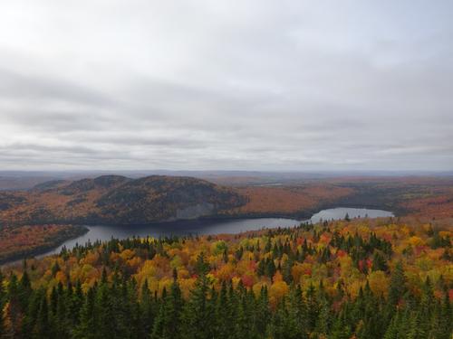
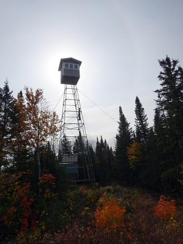
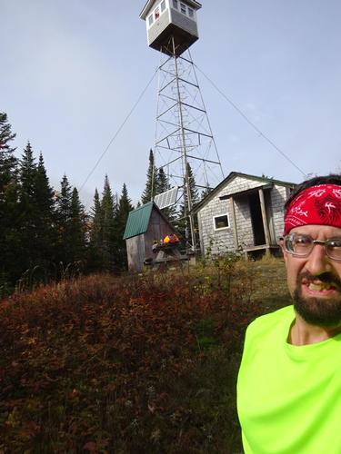
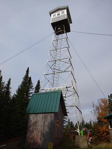
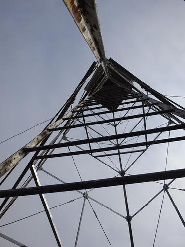
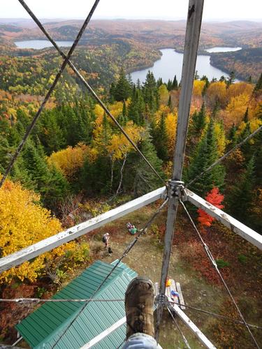
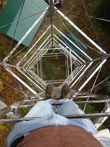
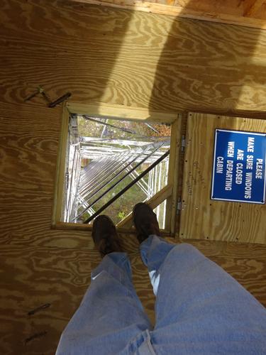
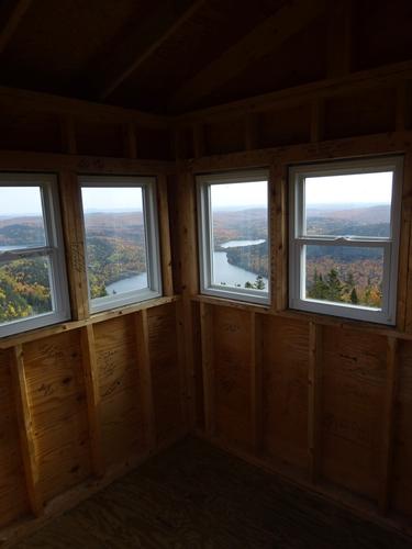
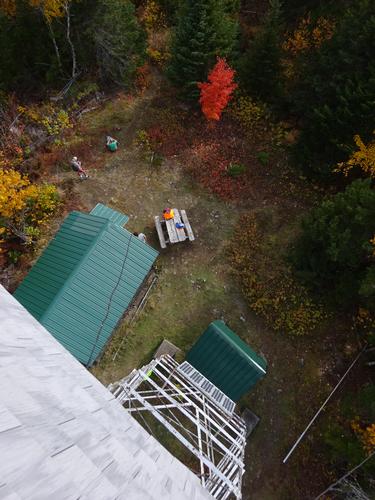
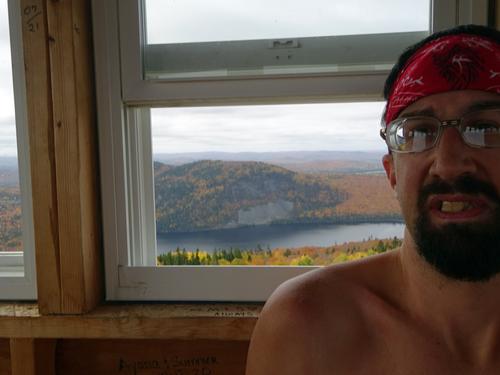
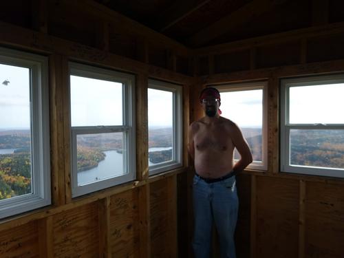
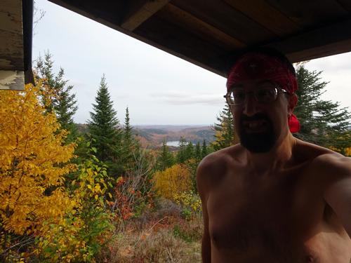
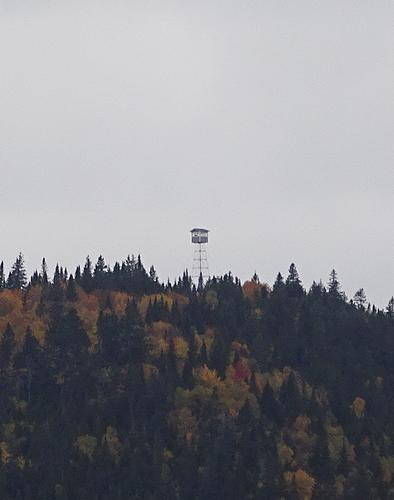
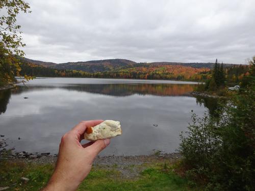
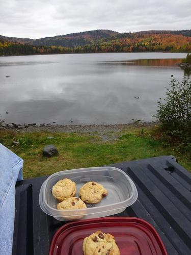
There were people in the fire tower when I arrived, so I had a snack while waiting for them to come down. The tower is about 48 feet high, with ladder access. The views from the tower are amazing! The cab was new last year. The old cab blew off in the fall of 2019! I was at the summit for 50 min. I returned the way I came, with a slightly different route going down the very first part of the summit. It only took me 32 min. to get back to the starting point. The total hike was 2 hours 10 min. Elevation gain is estimated at 680 feet.
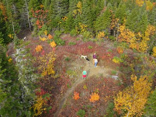
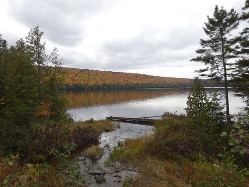
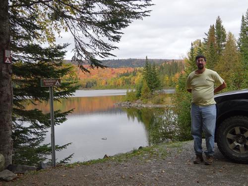
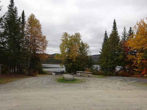
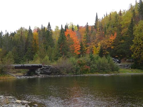
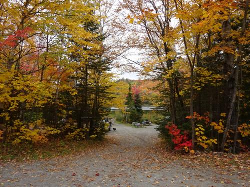
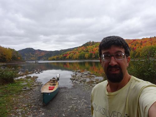
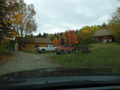
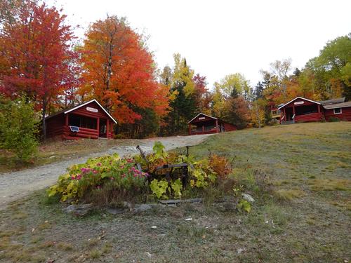
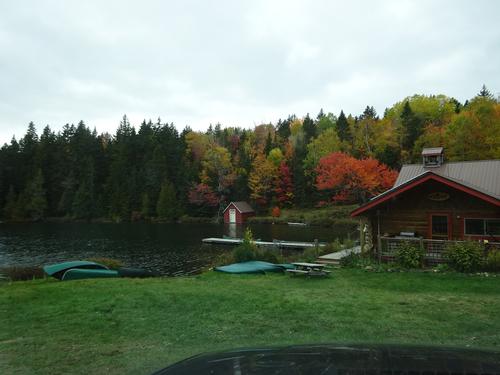
After the hike I drove around to the southern side of Deboullie. That is where all the hiking trails are, and the normal route up. :) LOL This area is the recreational area of the Deboullie Public Land, and there were people around. Several people were also camping.
Total road mileage on the trip was 182 miles, with about 58 miles of that on woods roads.
I did see of couple of partridge (grouse) on this trip, but no big animals.
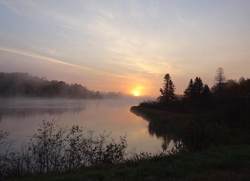
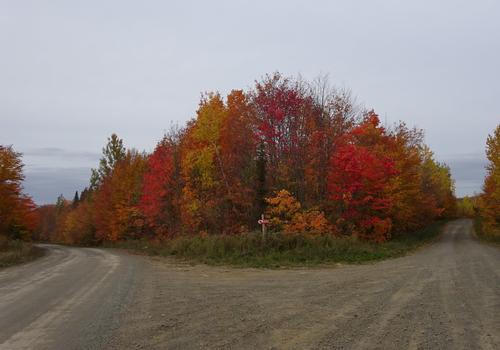
It was good to get out before the leaves are gone, which won't be long. :(
As always, I take way too many pictures. I narrowed them down to what you see here.
There are 107 photos in Album (Note: Move mouse pointer over larger pic and click on NEXT for better viewing)

|
|
||