Trip report

Waterville Valley Scaur and Flume Hike

Hiking/Walk DATE: 08/10/2019 - 08/10/2019

Trip/Event Location: Waterville Valley, NH
US

Trip Leader(s): tdefauw , jkelaghan

Max # People: 15

Trip Guiding / Event Fee: No, I will not be asking participants for money

Difficulty Level: Moderate to Strenuous

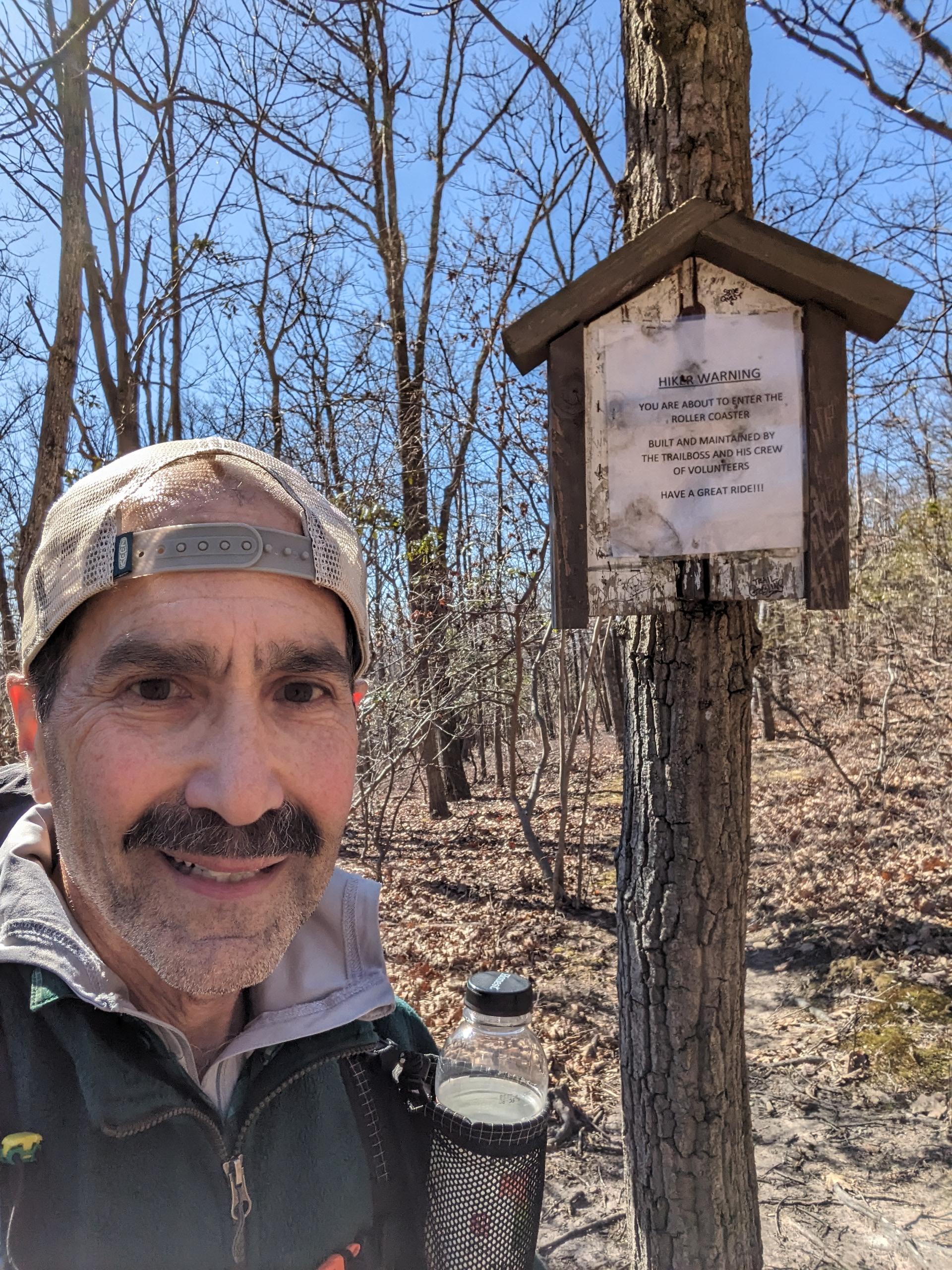
Join us for this beautiful hike in Waterville Valley to the Scaur and Flume along lesser used trails.   This hike is 8.5 miles long with about 1300 feet of elevation gain, although the last

...
Driving directions to the location and spot to meet at:

From Exit 28 on Rt. 93, drive 10.2 miles northeast on Rt. 49 and turn left onto Tripoli Road (signs for Waterville Valley Ski Area). In 1.2 miles, bear right to avoid the ski area entrance and continue 0.6 miles down Tripoli Road. Turn right onto West Branch Road and immediately bear left into the parking area (Depot Camp).


Trip Report/Photos
Featured Photo

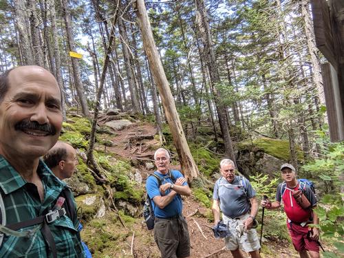
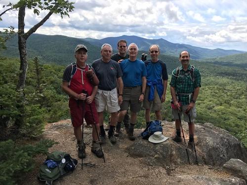
The below from Jeff pretty much sums up the hike -- great company, great conversation, great weather, and a fun time at Mad River Coffee Roasters afterwards.   The pictures are from the Scaur, and we had lunch at the flume.  Thanks everyone for joining, and hope to see you soon!         

Very enjoyable hike. Perfect cool, breezy weather, great guys, fragrant forest, and just a pleasant hike. Good gathering at Mad River Coffee House afterwards as well. Thanks, Thad!

  There are 1 photos in Album (Note: Move mouse pointer over larger pic and click on NEXT for better viewing)

Members That Participated

tdefauw

Outdoor Fitness Level: Moderate to Strenuous


Plymouth, NH


United States
jkelaghan

Outdoor Fitness Level: Moderate


Plymouth, NH


United States
phoenix

Outdoor Fitness Level: Moderate to Strenuous


Somersworth, NH


United States
HikerBiker

Outdoor Fitness Level: Moderate to Strenuous


Londonderry, NH


United States
sustaining member
jconroy

Outdoor Fitness Level: Moderate


Beverly, MA


United States
JPHiker

Outdoor Fitness Level: Moderate


Lake Worth Beach, FL


United States
H2Odialog

Outdoor Fitness Level: Moderate to Strenuous


Milton, MA


United States
<
Hiking, backpacking, camping or vacation adventures, GayOutdoors [GO] has been the LGBTQ outdoorzy community leader for the last 22 years. We are an informal group of diverse hiking enthusiasts in the United States with a shared love of the mountains who prefer hiking with friends. We invite you to join us on our hikes, to post hikes for other members to join you and to share your hiking photos, stories and advice.

Become A Member

If you find it invigorating to hike along a mountain trail with friends not knowing what’s just around the corner, to get some fresh air, to stop and soak in the views on a summit, and to soak your feet in a mountain brook after a hike, give us a try!

BECOME A MEMBER


Powered by Ecomsolutions.net - ColdFusion Experts