Trip report
Presidential Rapidan Camp Trail, Shenandoah NP
Hiking/Walk DATE: 04/27/2019 - 04/27/2019
Trip/Event Location: Boonesville, VA
US
Trip Leader(s): TrailGuyEric
Max # People: 15
Trip Guiding / Event Fee: No, I will not be asking participants for money
Difficulty Level: Easy to Moderate
In Central Shenandoah National Park this is a hike to Rapidan Camp, the summer retreat established by President and Mrs. Herbert Hoover during his administration is located within the boundaries of
...Meet at parking lot off Skyline Drive, Shenandoah National Park, at Mile Marker 53.0. Look for my 2018 burgundy Honda Ridgeline.
Trip Report/Photos
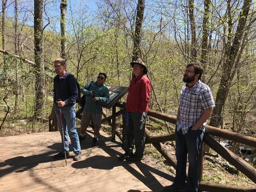
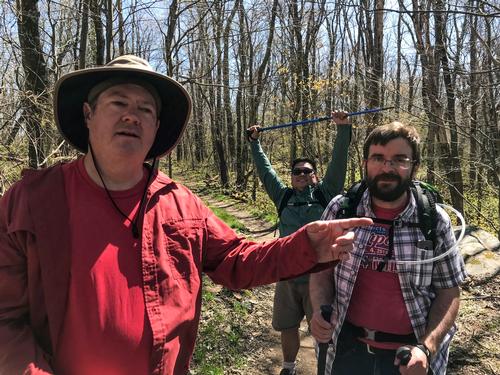
We had two new attendees this time, Jesse and his friend, Howard, from Richmond. Thanks for joining us!!
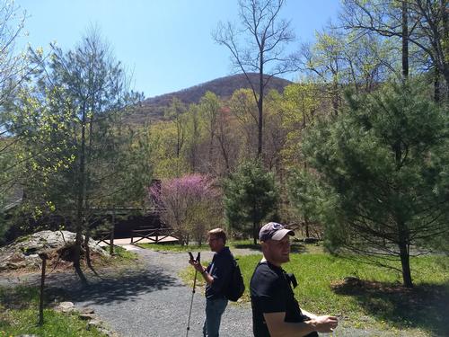
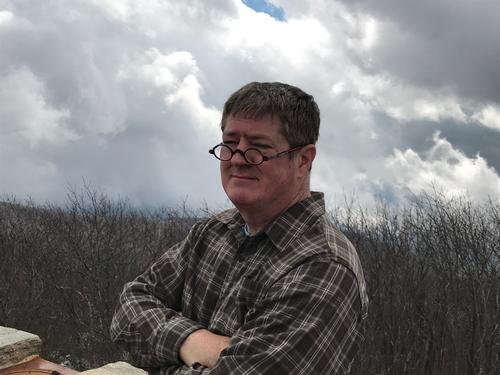
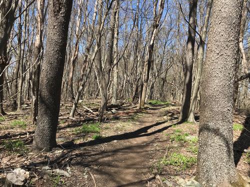
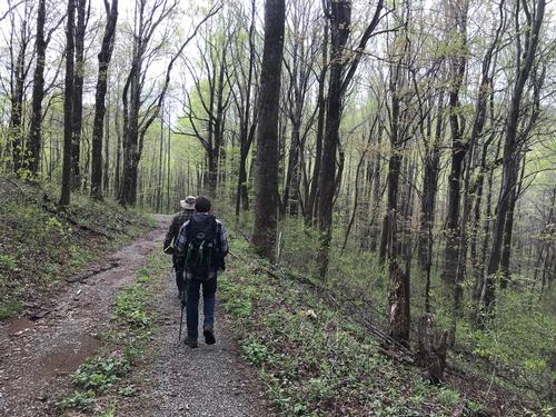
All 6 of us headed to the trailhead, crossing the road from the parking lot and coming to a fork which we turned left and headed down Mill Prong Trail. There were several springs along the way until we reach Mill Prong (creek) which following us all the back down to Rapidan Camp but passing a very nice waterfall, Big Rock Falls. The camp, which had 13 different buildings at the beginning, some of considerable size, now only has a handful of buildings left, mainly the Creel Cabin, The Brown House (Hoover’s cabin) and the Prime Minister’s cabin, home to about a half-dozen water snakes. It was too early in the season and so we didn't see any. The cabins were still closed for the season so we ready the signs just outside the Prime Minister’s cabin. After a short lunch, we headed up the Fork Mountain Horse trail before splitting off onto the Laurel Prong Trail. At first this was a gentle rising trail but halfway up it was a rather steep and long climb back. There were several places to stop and enjoy views through the open spaces between the trees which were many since there were no leaves on the trees. We found an overlook and one of the hikers took quite a few pictures. The Laurel Prong Trail ended at the AT, which we took back to the parking lot. The hike and walk around the camp totaled about 8.5 miles and 5.5 hours. A good day’s hike.
There are 12 photos in Album (Note: Move mouse pointer over larger pic and click on NEXT for better viewing)


|
|
||