Trip report
Mt. Monadnock Hike
Hiking/Walk DATE: 05/04/2019 - 05/04/2019
Trip/Event Location: Jaffrey, NH
US
Trip Leader(s): Gandalf , JDNnh
Max # People: 15
Trip Guiding / Event Fee: No, I will not be asking participants for money
Difficulty Level: Moderate
Let's hike Mount Monadnock. Mount Monadnock is the most climbed mountain in North America. 100,000+ people hike Mount Monadnock each year. Ice cream after the hike!
The summit of Mount
From the North or East in NH: find your best way to Peterborough NH. Then take US Rte 202 west/south to Jaffrey. Turn right onto 124 west and follow signs to Monadnock State Park.
From Eastern MA: Take MA Rte 2 west towards Westminster. Take exit 24B on to MA Rte 140 North to Winchendon. Take US Rte 202 north to Jaffrey. Turn left onto 124 west and follow signs to Monadnock State Park.
Meet at the State Park Store, $5 admission. We’ll be driving a blue Toyota Tacoma truck.
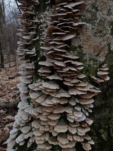
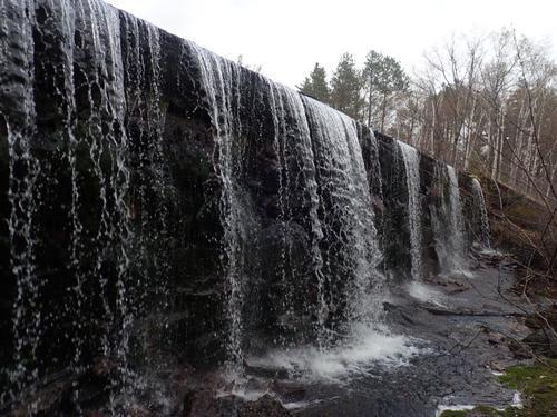
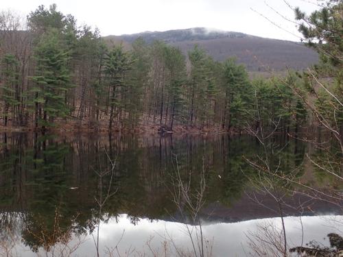
Trip Report/Photos

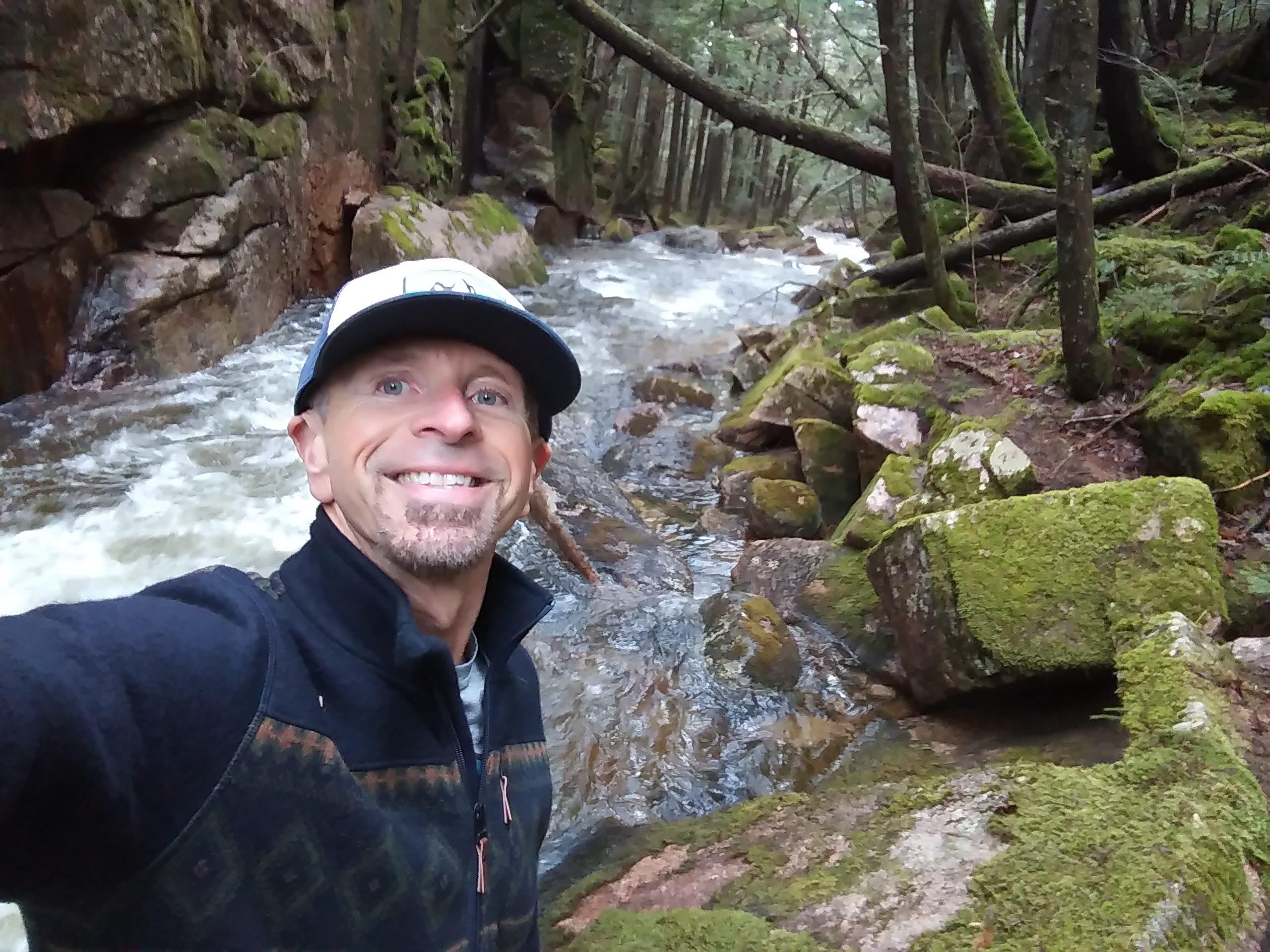
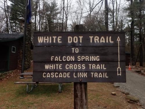
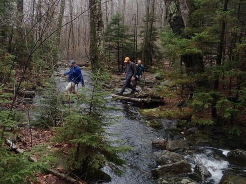
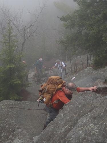
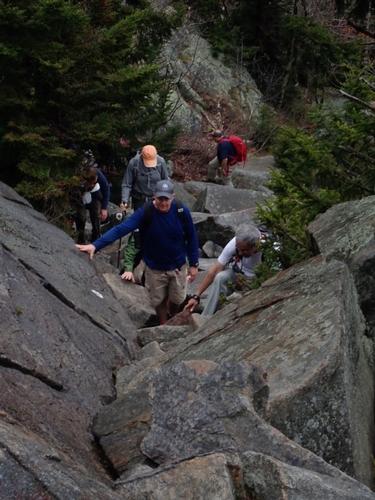
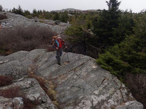
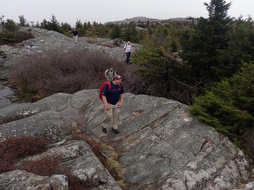
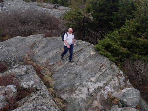
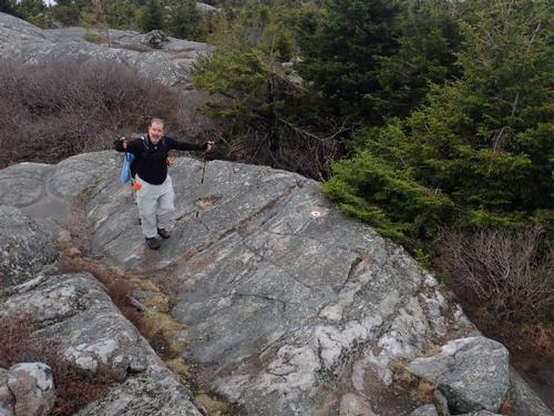
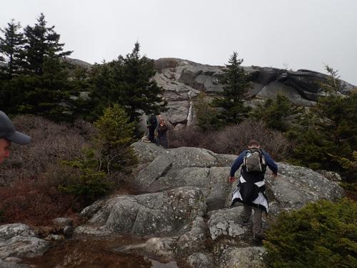
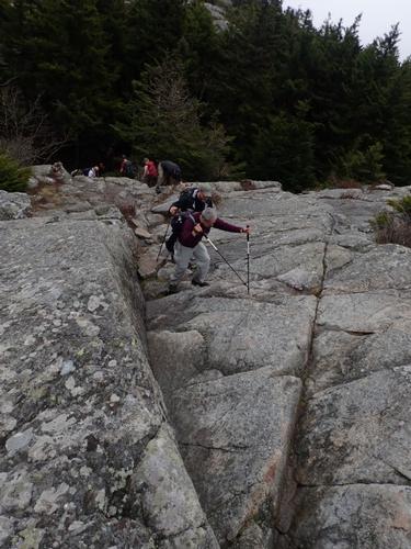
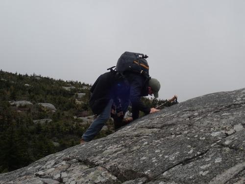
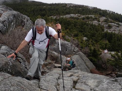
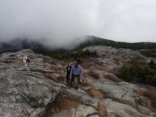
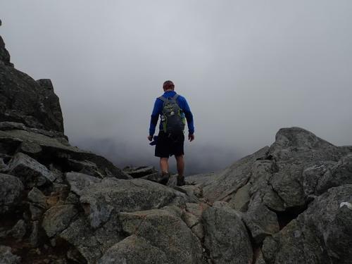
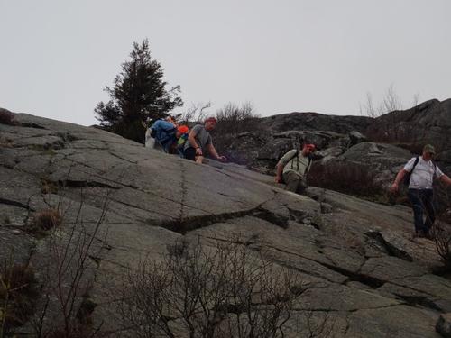
There are many paths to take to the summit of Mount Monadnock. Two of the most popular trails are the White Cross and White Dot trails. While they are shortest in mileage (~2.5 mi up), they also have the toughest terrain. There is a lot of scrambling and bouldering. Our plan was to ignore these two trails as much as possible but whichever you take up Mt. Monadnock, you can’t get around scrambling and bouldering as our crew of 16 found out!
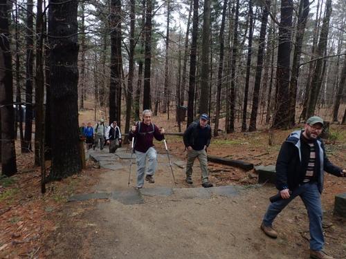
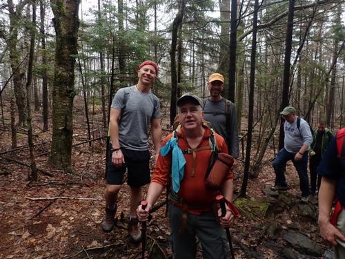
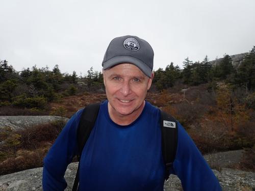
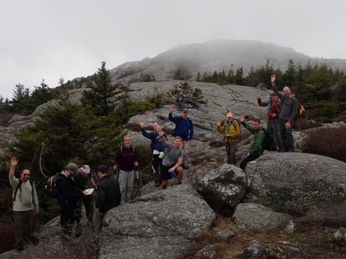
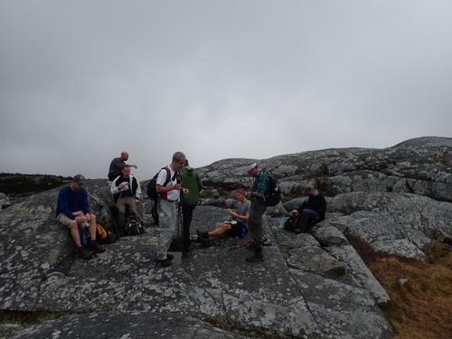
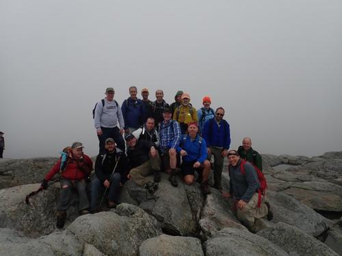
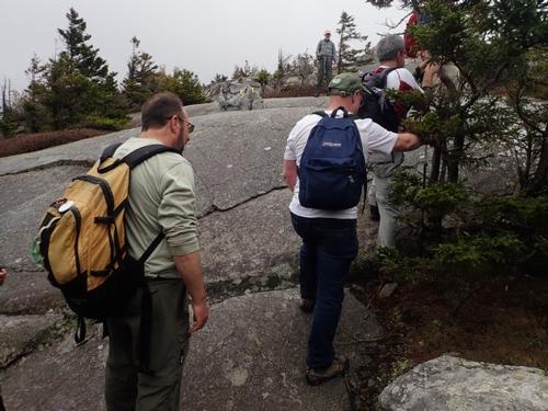
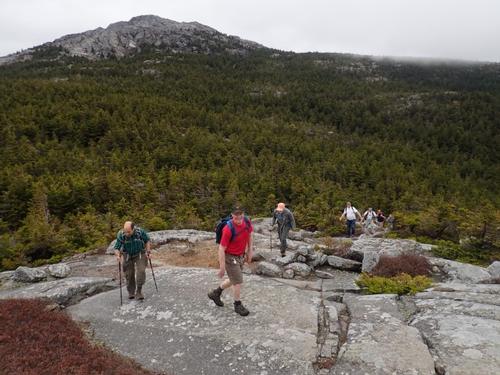
We started out at the Park Headquarters in front of the Park Store around 10:30AM. They added a few porta potties near the park store for those interested. It was cloudy but the temperature was warm in the low 60s. We had a large group of 16 so I distributed a bunch of maps that highlighted the trails we were going to take and went over each one before departing. I also handed out our new GO member tags to all sustaining members who were present to hang off their packs!
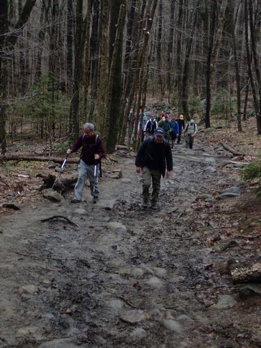
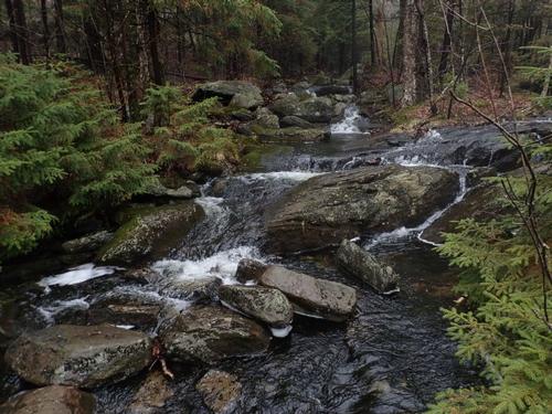
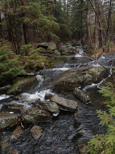
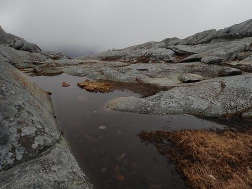
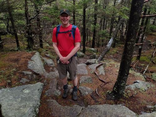
We started on the White Dot Trail that was a broad woods trail but very wet and muddy. That was a preview of trail conditions to come! We had a few folks on their first GO adventure: Phil and Dave from Connecticut, Brendan from our MeetUp Group and Rick, a friend of Dan. Welcome all!
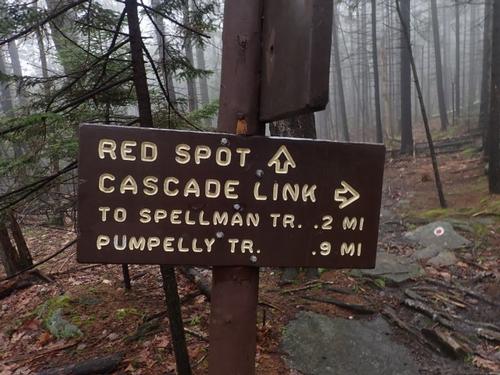
We took a right on the Cascade Link through spruce woods and little cascades with lots more puddles to contend with. I heard John state jokingly, “Mike, can you make this trail and wetter?”
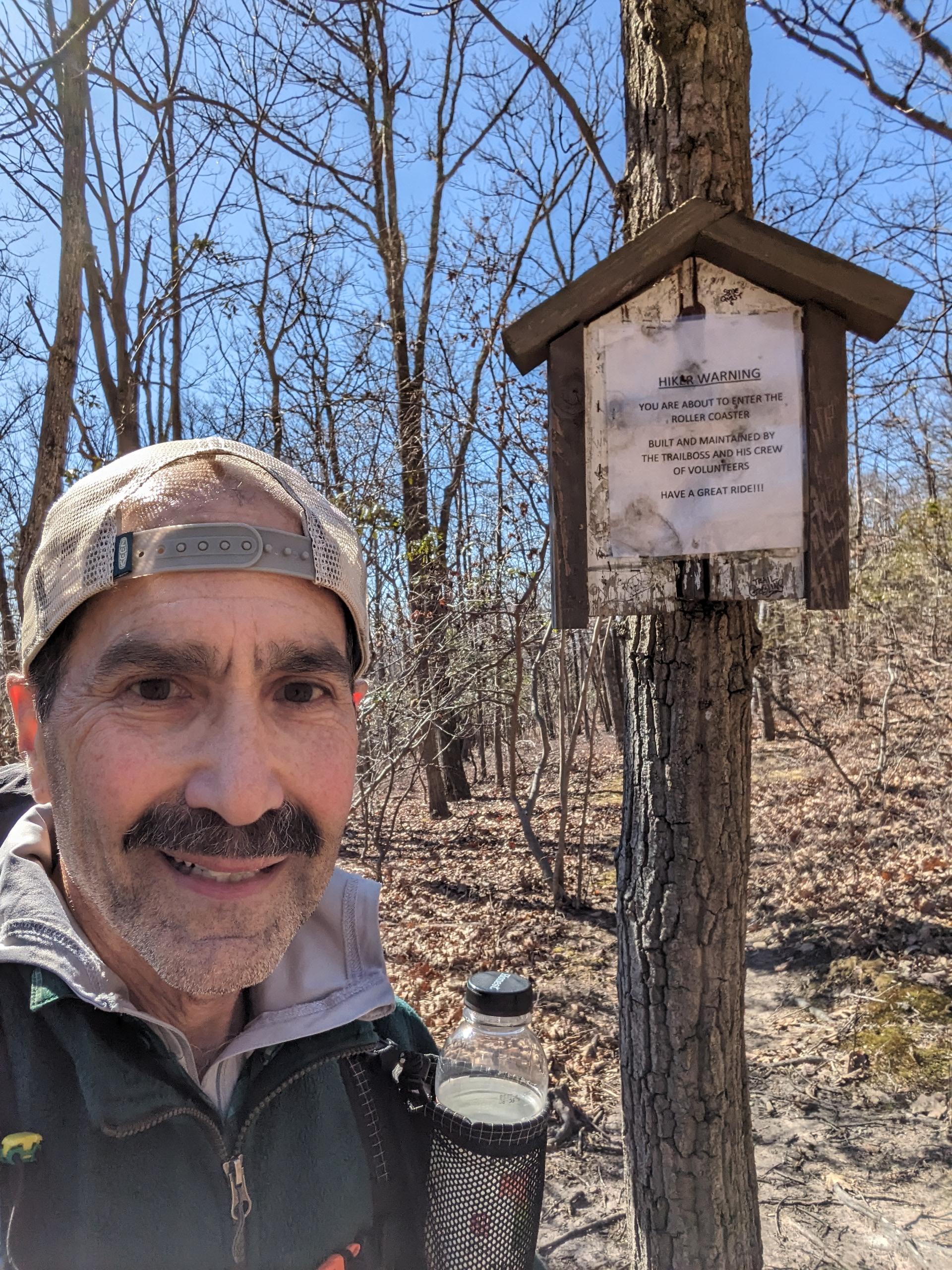
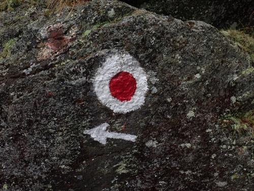
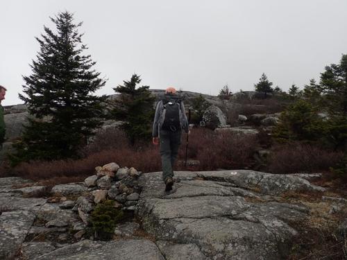
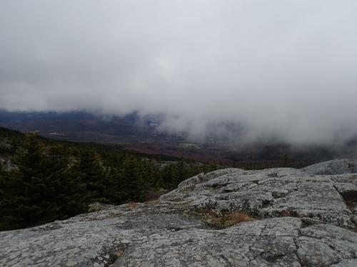
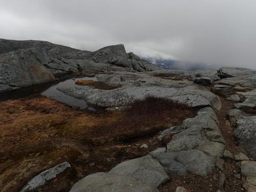
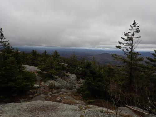
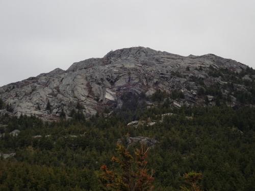
We took a left on Red Spot Trail that ascended somewhat roughly over long switchback and with the recent rains the rocks were slippery. The marker is a red dot surrounded by a white circle, kind of like a bullseye. As we got higher we could see the summit with the clouds of swirling with lots of people on top…we were making good progress. We took a long break here so everyone could catch up.
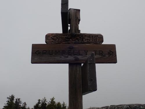
At the junction of Pumpelly Trail our crew was getting weary but with the thought of being on the summit in 30 minutes. A few of started doing the “Time Warp” dance from Rocky Horror Picture Show! Yep, we had some energy left!
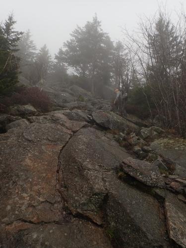
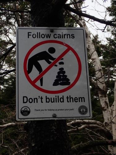
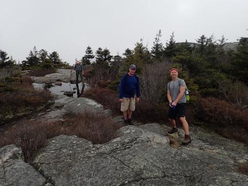
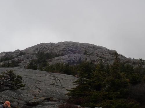
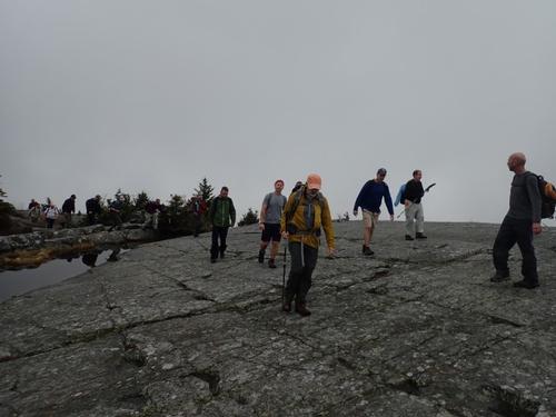
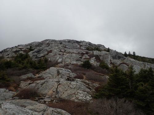
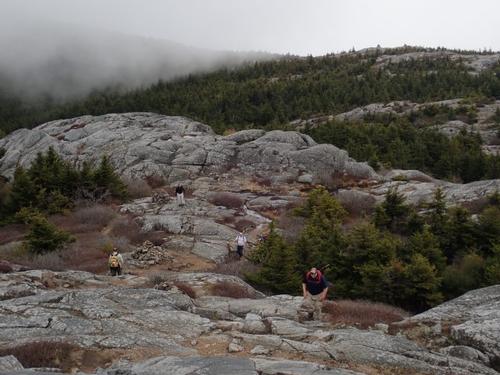
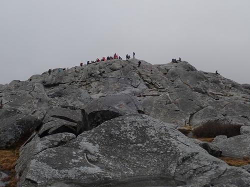
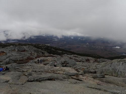
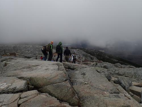
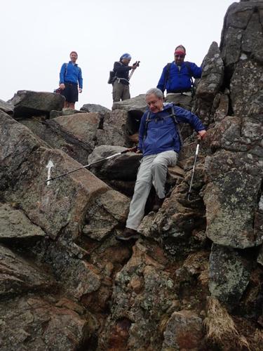
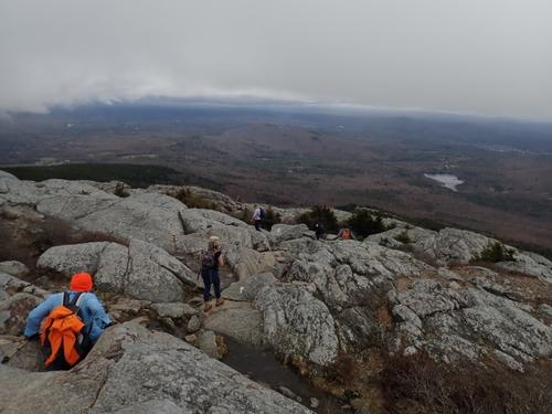
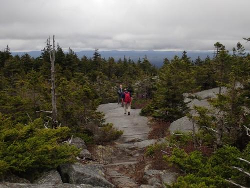
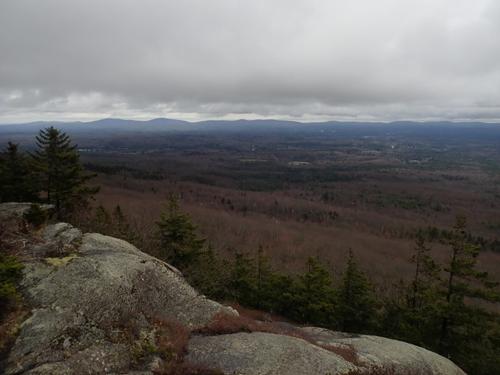
The trail was marked by large cairns, on mostly open ledge and with the clouds lifting we started enjoying views! I caught some anxiety on the faces from a few of our crew as they navigated through a little col with steep and ledgy walls. We continued over to a series of ledges. Jon was up ahead and with seeing a huge crowd of 50+ on the summit, decided that we should have lunch just below the summit. It remained warm but a slight breeze picked up so we put on an additional layer.
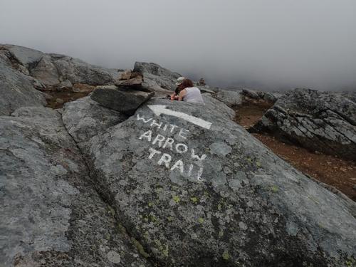
We took about 20 minutes for lunch. Some guys had plans for the later in the afternoon while others were just about spent physically so I offered an option to take a quicker way down, the White Dot trail, which 6 guys decided to do. So after lunch we soaked in the views on the summit for about 10 minutes and then split into two groups. One group took the White Dot trail while our remaining group of ten took the White Arrow Trail. There are not any trail signs on the summit; just initials of the trails painted on the ledgy summit. I caught D/M on the rocks which looked like “White/Dot” upside down but after a couple of minutes discovered it meant Marlboro/Dublin…LOL. We asked a group where the White Dot trail and they pointed to the opposite direction so Jon & I went to see with the group of 6 making sure they were off on the correct trail. Sure enough, we saw white dots painted on the ledgy summit headed down so we knew that was the correct direction. We bid good-bye and led our group of ten down the White Cross trail.
We had just taken a turn on the White Arrow trail when Dan took a spill landing face first, splitting his left eyebrow with lots of blood quickly gushing out. Joey, the nurse that he is quickly sprang into action, taking a bandanna over his eyebrow, waiting for the wound to clot. A few people gathered around offering assistance but everything was under control. We applied some Neosporin into the wound and applied a small gauze bandage that was secured by a bandanna. After a few more minutes of rest, we brought Dan up to his feet, he seemed to be steady and off he went!
It was a steep scramble from the summit hindered by more wet rocks but we got thru it. I think we heard Rick curse a few times…whose words can’t be repeated less we offend someone…but he persevered! We took a left on the Amphitheatre Trail that was not marked at all from the White Arrow trail. It got our attention as we reached the junction as we saw a group approaching us. Dave and I asked them if that was the Amphitheater Trail which they confirmed it was.
The views from this trail are outstanding and a good morale boost after all the scrambling we’ve been doing. We hooked up with the Smith Connecting Link reaching Bald Rock with good views in all directions where we hooked up with the Cliff Walk.
It was on this section of trail that Chris’s legs just froze up from a combination of dehydration and muscle pain. From what Chris told us, he could not even hike because he was in so much pain. He had to stop and let his legs rest. Some hikers passing him by gave him some Gatorade to help him build up his electrolytes. Jon and I had no idea that he was having these issues.
We reached the junction of the Lost Farm Trail with some fine views of the valley below. We started making our descent on the rocky and jagged trail. Jon and Jeff noticed we had not seen Chris at the junction so they waited for him. The rest of us proceeded down. Chris eventually arrived but he was walking slow so Jon and Jeff hanged back with him.
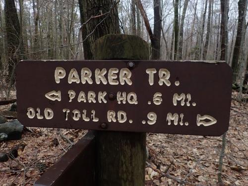
We reached the Parker Trail that was only .06 miles from the parking lot so I told everyone to continue on while I waited for the Three Musketeers. It was starting to get buggy with black flies buzzing around. After waiting for about 15 minutes with no sign of them, I started to walk back up the trail to investigate blowing my whistle. Thankfully, after about 5 minutes I ran into them. Everyone was safe! Phew. The remainder of the trail back to the Park Headquarters was very gradual and mostly smooth.
We got back to the Park HQ around 5:30 PM, making the total trip around 7 miles [I thought it was going to be 6 miles], 7 hours of hiking time at a slow/moderate pace with long breaks.
Monadnock is a super popular spot on the weekends, even on a cloudy day! It's super accessible from Boston.
A most excellent intro to spring hike! We got our leg muscles back into shape after winter hibernation, refreshed our first aid skills, and polished our scrambling skills for the upcoming summer season!
Gear Specs:
- 2L of water
- Hiking boots
- Prana trail shorts
- Appalachian Trail synthetic t-shirt
- LL Bean synthetic long sleeved shirt
- Small backpack
- Food and more food
- Emergency Gear: Map and Compass, First-Aid Kit, Smartphone, Whistle, Headlamp, Swiss Army Knife
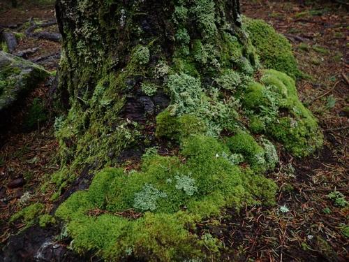
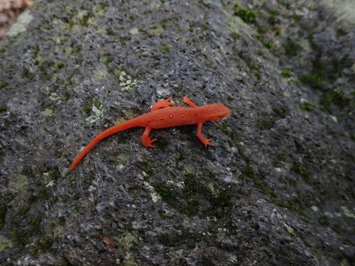
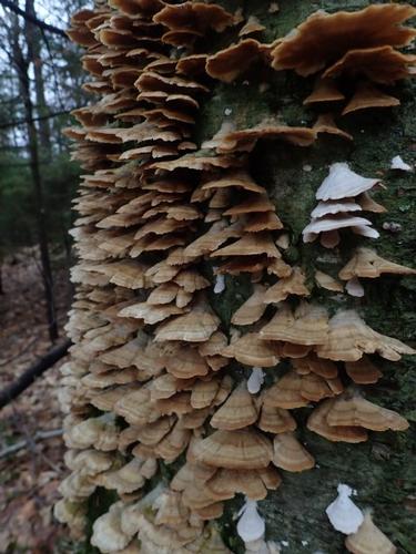
There are 69 photos in Album (Note: Move mouse pointer over larger pic and click on NEXT for better viewing)


What Members Are Saying About This Trip/Event
- What a great hike. It's been years since hiking this man. It's just as good now as it was then! Thanks for putting this together, and for helping me out when I smashed my face into that rock. I am almost healed up already! - rocketmandan
- We had a great time hiking on some challenging trails (just the right amount of challenging). Dave and I are still talking about it. Glad the rain stayed away. The advice about taking a few tylenol really did the trick :) No soreness. - Trailrunner
|
|
||