Trip report
Quaggy Jo Mtn - Aroostook State Park
Hiking/Walk DATE: 02/23/2019 - 02/23/2019
Trip/Event Location: Presque Isle, ME
US
Trip Leader(s): BillyB1976
Max # People: 99
Trip Guiding / Event Fee: No, I will not be asking participants for money
Difficulty Level: Moderate to Strenuous
** Currently -8 here at the house. Heading out shortly. ** Beard freezing weather.. LOL
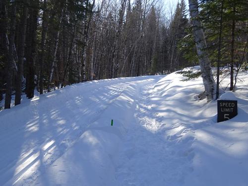
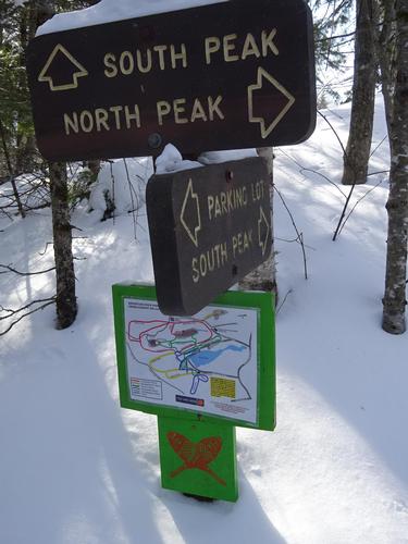
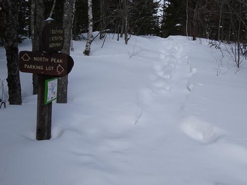
Snowshoe hike up Quaggy Jo Mtn. Route will be up the south peak, go along the
...Directions from the south:
Get on I-95, and stay on it almost to the end in Houlton. Second to last exit. Exit 302. Yes, that is 302 miles from Kittery!! Give or take a few miles. LOL
Go left at the lights at the bottom of the off ramp, and stay in the right hand lane. U.S. Rt. 1 north.
Go north 26 miles to Mars Hill. In "downtown" Mars Hill, turn left at the caution light - staying on U.S. Rt. 1 north.
Go 10.5 miles, and turn left on to Spragueville Rd. There are signs for Aroostook State Park. Go 1 mile, and turn left on to State Park Rd, and follow it 0.8 miles to the park gate at the end. Continue through the gate to the parking lot at the end of the road.
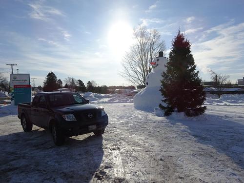
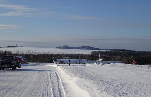
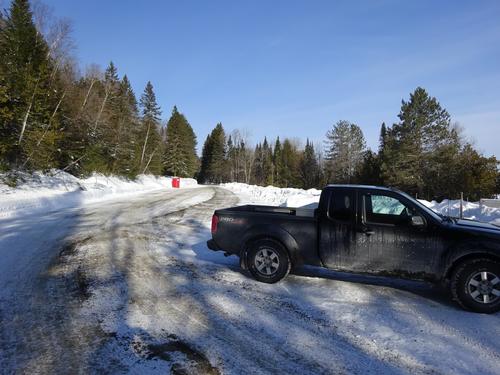
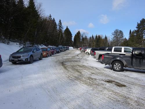
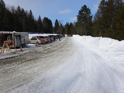
I want to start the hike by 8:30 A.M. I'll be in the large parking lot at the end of the road. Black Nisan Frontier pickup truck, plate # 6039 IJ.
Address is, 87 State Park Rd, Presque Isle, ME.... BUT, when I enter that into Google, it puts 87 State Park Rd up on Quaggy Jo Mtn... What the hell. There is not even a road there. LOL
Trip Report/Photos
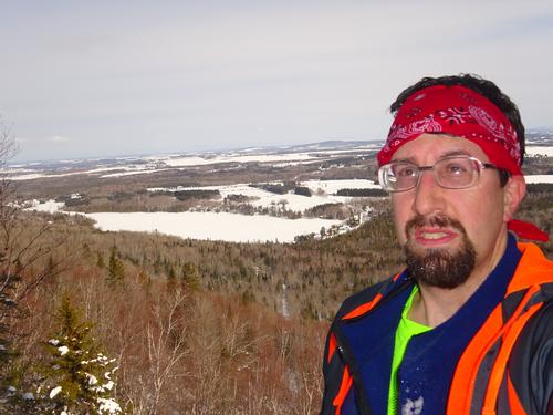
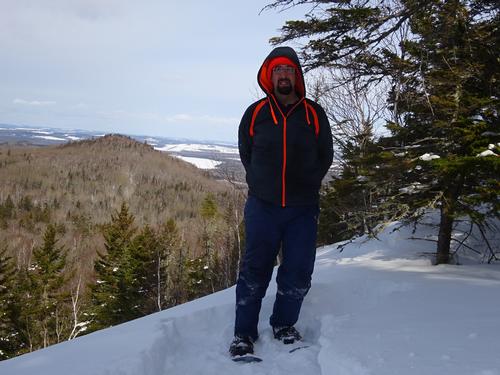
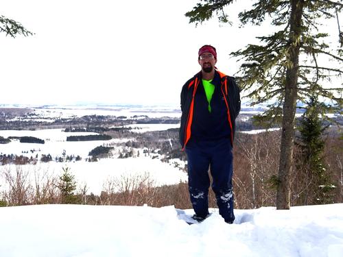
It was -5 when I left the house this morning, but it warmed up during the day. Was probably in the single digits when I started the hike. Only a slight breeze from time to time.
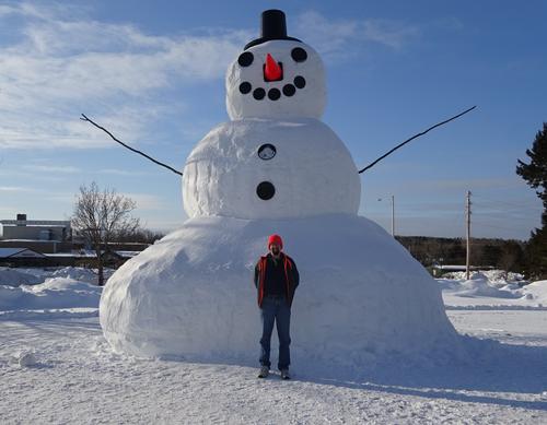
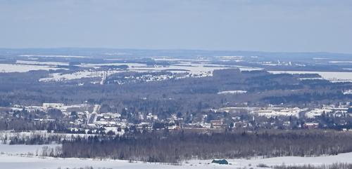
I stopped in Presque Isle to check out the large snowman in front of the hospital. John from work, and his girlfriend, was stopped there too. I took a picture of them, and he took a picture of me.. :)
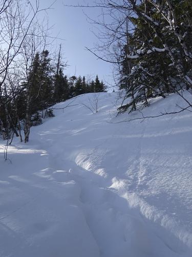
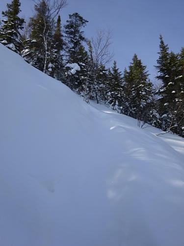
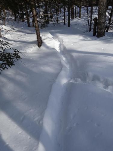
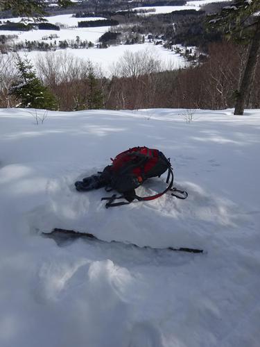
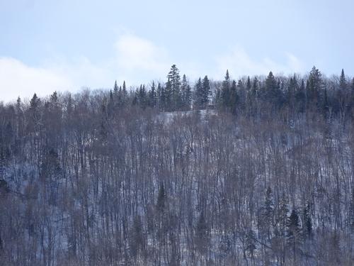
No one had been on the trails since the snow we got last Thursday, but it was packed down from before. The trail up the south peak was not well traveled, but there was a track there to follow. I've had to break trail up the south peak in the past, and it is NOT easy.
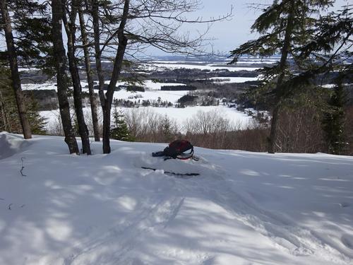
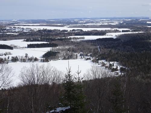
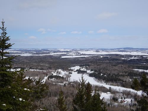
The distance from the parking lot to the south peak is about 1 mile, going up about 660 ft. A good portion of that is in a 3/4-mile stretch. It took me 1 hour 25 min. to get to the south peak from the parking lot. Quaggy Jo may be a small mountain, but the south peak trail is not easy. It is almost straight up, with not much for switchbacks.
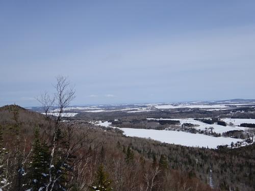
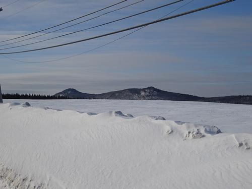
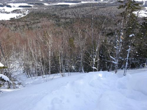
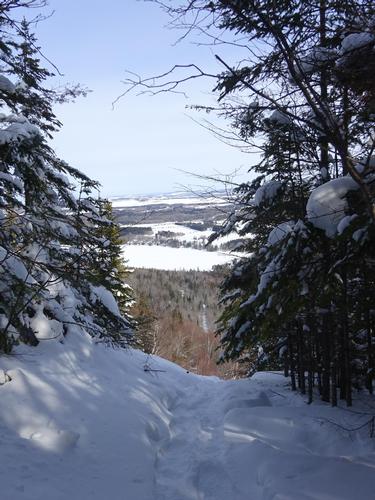
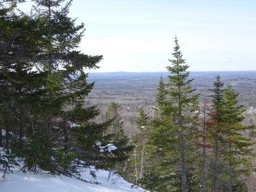
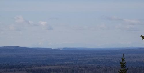
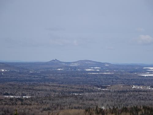
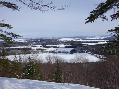
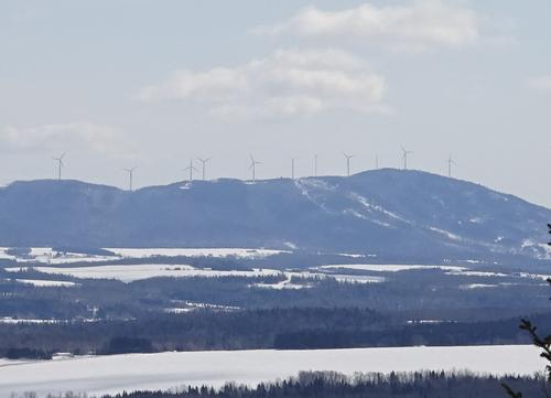
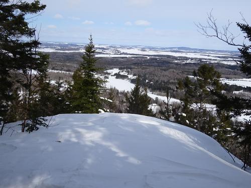
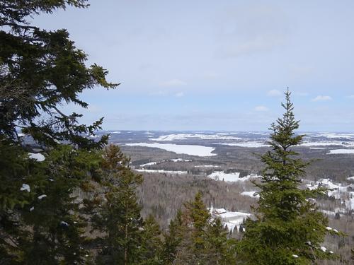
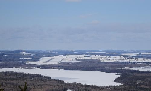
The view of Katahdin was not very good today. It almost blended in with sky. Katahdin is 65 miles away.
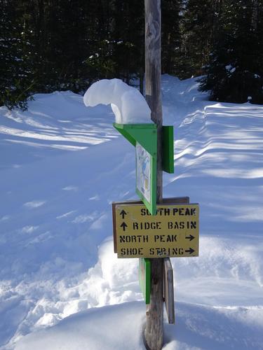
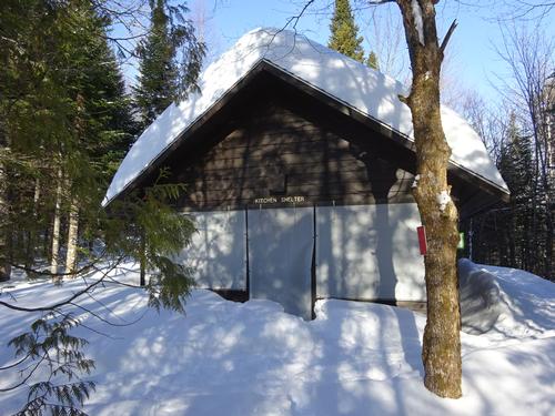
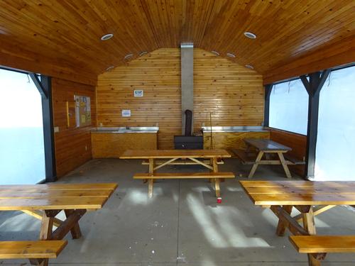
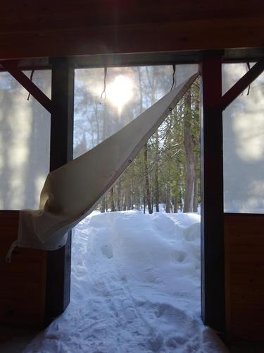
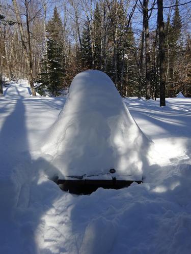
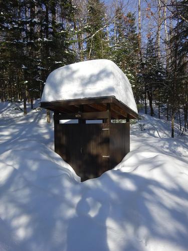
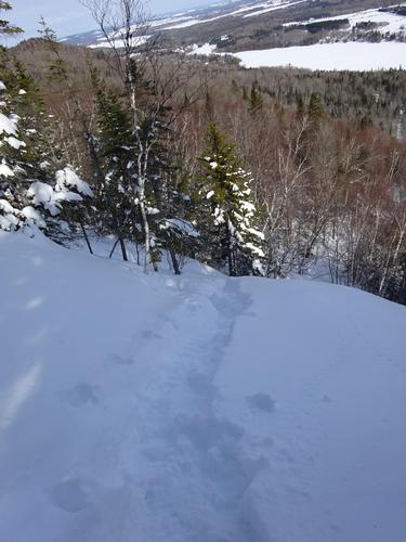
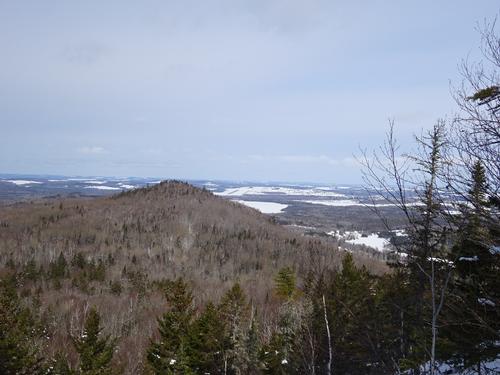
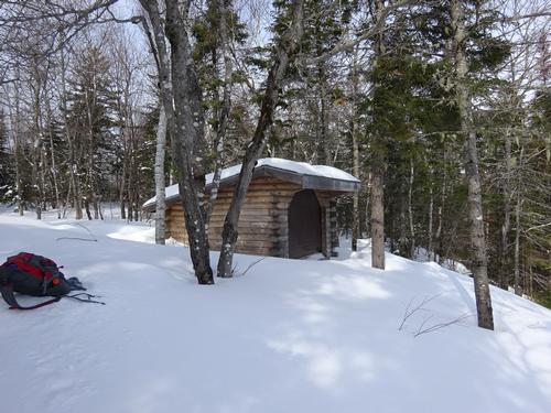
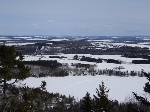
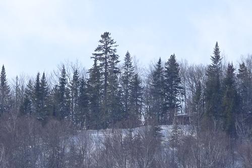
After the south peak, I continued on the much easier Ridge Trail to the north peak, stopping at the lean-to and buried picnic table along the way.
It took me 45 min. to get from the south peak to the north peak, a distance of almost 1 mile.
It took 15 min. to go down the north peak trail, a distance of around 0.75 miles.
The total loop was between 2.75 and 3 miles. The hike took 2 hours 40 min. The total elevation gain was around 900 ft.
I had the trails on the mountain all to myself. About 1/4 of the way down the north peak, a came upon footprints. Whoever it was turned around. At the bottom of a short, steep stretch I came to a spot where someone with snowshoes had turned around. Just before getting back to the parking lot I did meet 3 people.
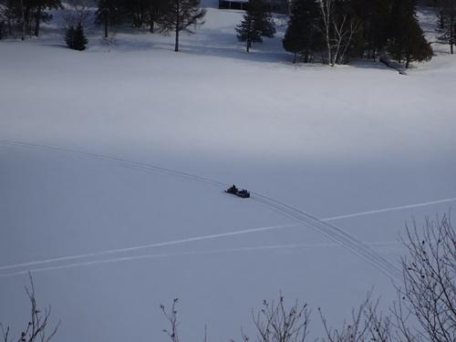
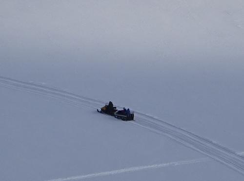
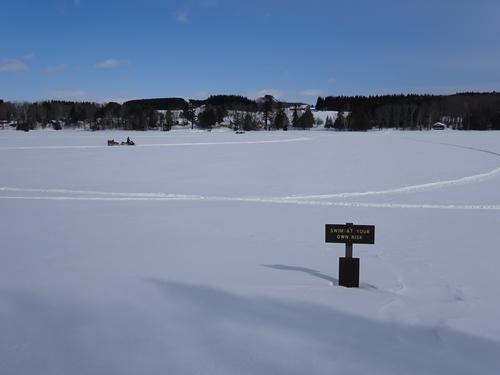
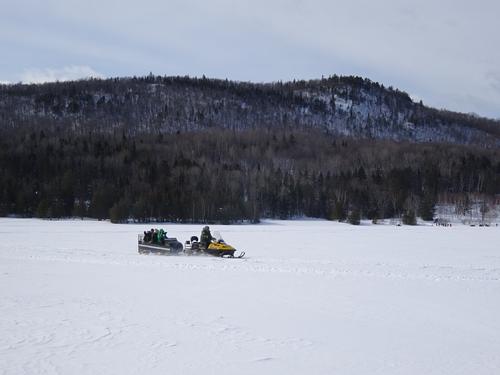
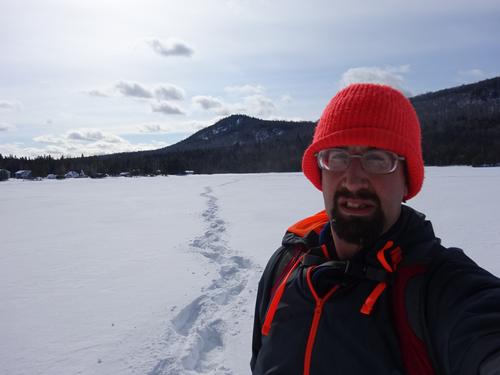
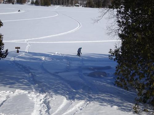
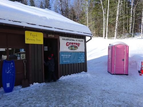
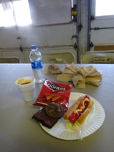
After the hike, I went out on Echo Lake for a few minutes. I returned to my truck and removed my snowshoes, and then went to get some food. :)
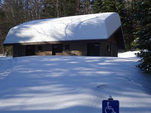
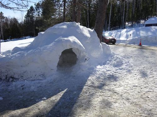
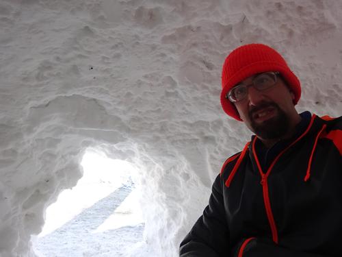
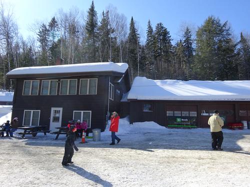
The park was busy with the Winter Family Fun Day, but most of those people do not venture up on the mountain.
I arrived at the park at 8:30 AM. Left at 12:50 PM.
*** Historic fact ***
Aroostook State Park bears the distinct honor of being Maine's first state park. In 1938 interested citizens of Presque Isle donated 100 acres of land to the State of Maine, and following that gesture, the park became reality in 1939. Today the park totals nearly 800 acres thanks to subsequent donations and purchases.
There are 64 photos in Album (Note: Move mouse pointer over larger pic and click on NEXT for better viewing)


|
|
||