Trip report
Mt. Moosilauke via Gorge Brook
Hiking/Walk DATE: 07/21/2018 - 07/21/2018
Trip/Event Location: Warren, NH
US
Trip Leader(s): Gandalf , JDNnh
Max # People: 15
Trip Guiding / Event Fee: No, I will not be asking participants for money
Difficulty Level: Moderate to Strenuous
Join us on this southwestern outpost of the high peaks that is unmatched for the variety of its views!
Mount Moosilauke is a 4,802 foot mountain located in Benton, New Hampshire along the Kinsman
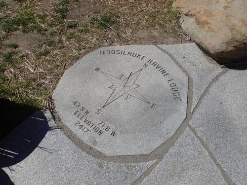
...Darmouth's Ravine Lodge is at the end of the appropriately named Ravine Lodge Road, off of NH's Route 118. The best way to get there is to get off at exit 32 off I-93 (Woodstock/Lincoln/Kancamagus) and go west on Rt. 112 past North Woodstock. A few miles out of town, you will see the signs for Rt. 118 South and turn LEFT (it’s easy to miss — if you pass the Beaver Brook parking lot or the Lost River Valley Campground, you’ve gone too far!). After 7.1 miles (winding uphill then starting down the other side), turn RIGHT onto Ravine Road..
Turn right and go all the way down. As soon as you see cars parked on the left side the road, you are there, and you need to park here, since there is no parking nearer the lodge. We are driving a blue Toyota Tacoma truck.
Trip Report/Photos
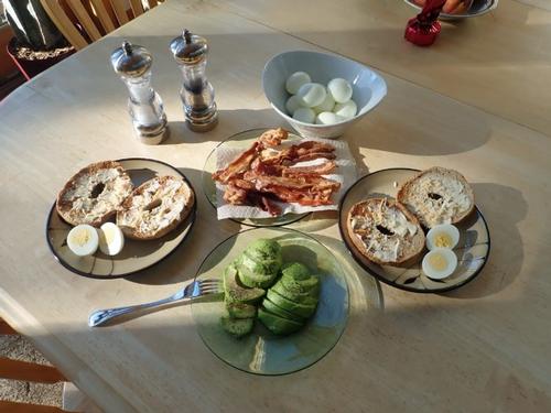
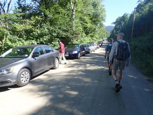
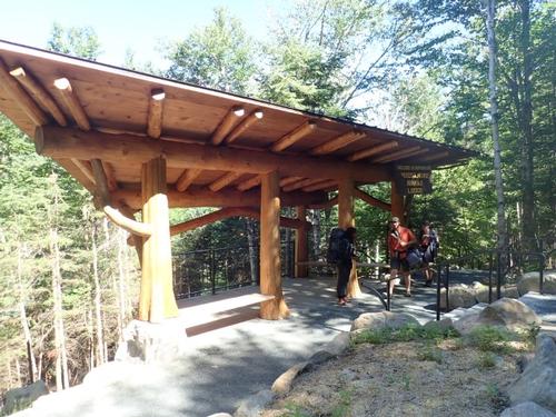
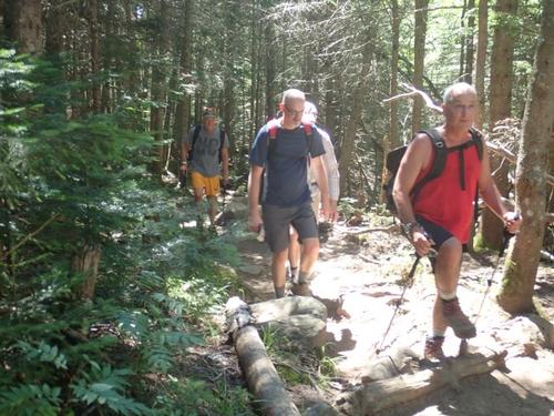
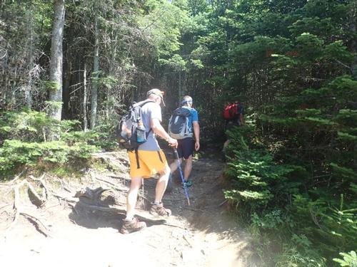
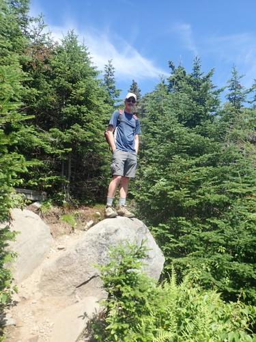
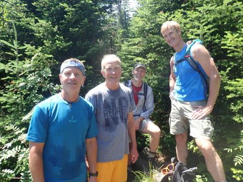
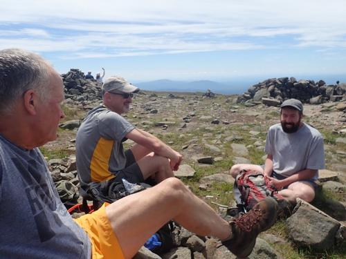
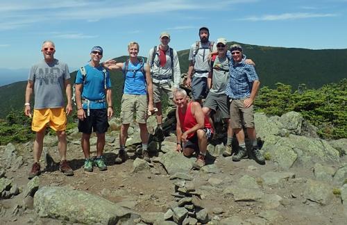
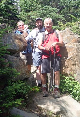
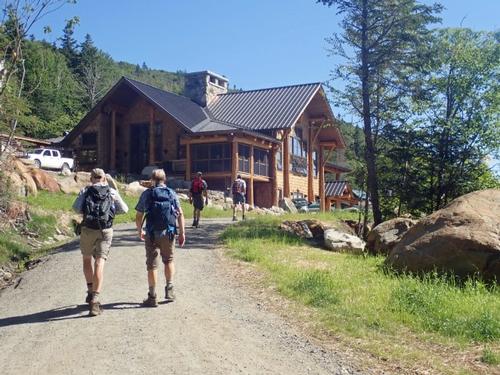
On Saturday July 21st, Rob, Jon and I set out to hike Mt. Moosilauke. We started the day with a delicious breakfast at the Mad River Lodge with Sunshine looking out the window. Moosilauke is the western-most 4k footer in NH. The weather was beautiful and the ride up I-93 to the trailhead was clear. We arrived at the Ravine Lodge – which is ran by students at the Dartmouth College at about 10:00AM. The turnaround at the end of the road where vehicles normally park was closed requiring everyone to park alongside the road. The trail is extremely popular so we had to park about .25 mile away from the trailhead. As soon as we parked, Bob & John were right behind us. We started walking to the trailhead and George was walking toward us. As we spoke with George we saw James walking down the road to meet us. Our group was complete! We officially began our hike around 10:15AM.
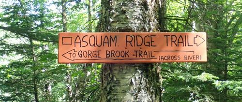
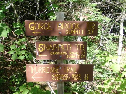
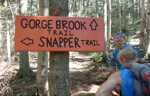
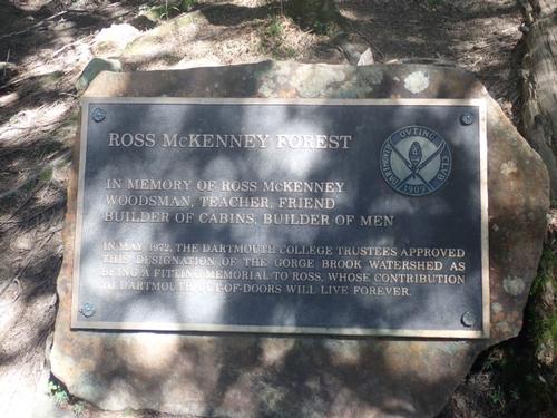
We decided to take the Gorge Brook trail to the summit. The start of the trail had us do this unnecessary long loop through a few trail junctions to avoid the Ravine Lodge. We decided we would take the herd path to the Ravine Lodge on the return that would give us an excuse to examine the changes made since it was rebuilt last year.
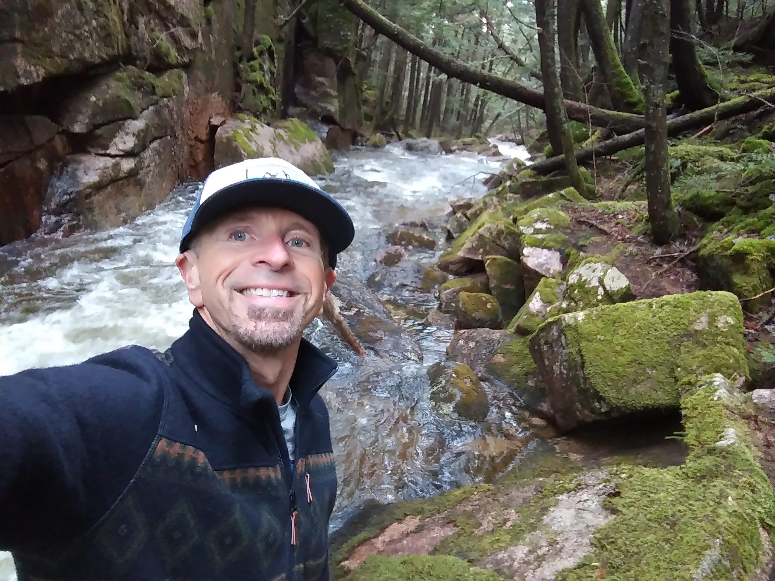
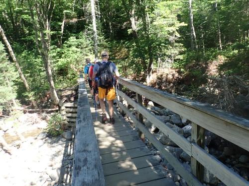
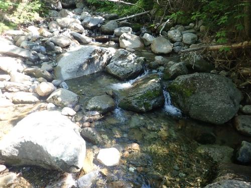
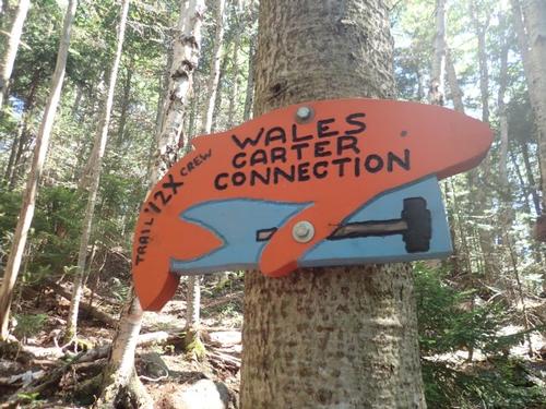
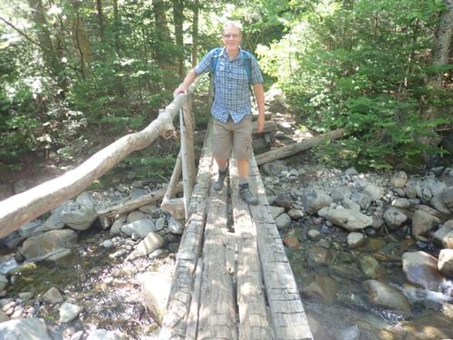
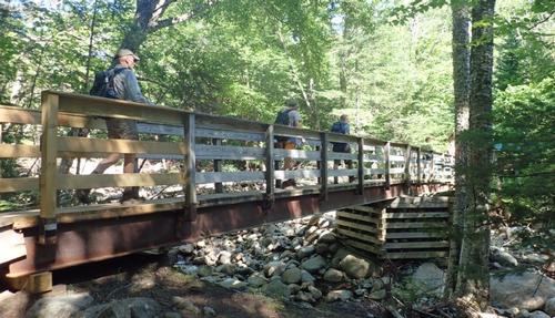
We continued on the Gorge Brook Trail for a short way and crossed Gorge Brook over a bridge. We continued a quarter mile up, where the new connector to the Gorge Brook Trail entered on the right. This trail sign for this new trail was in the shape of a whale and called the “Wales Carter Connection.”
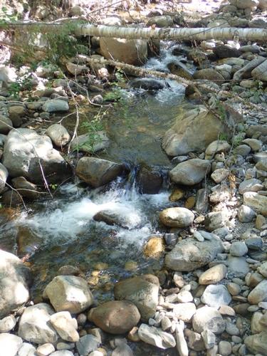
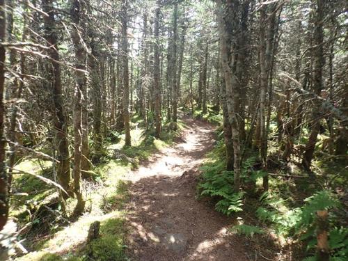
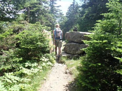
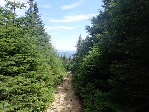
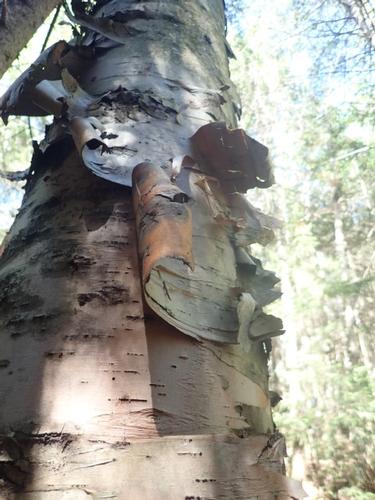
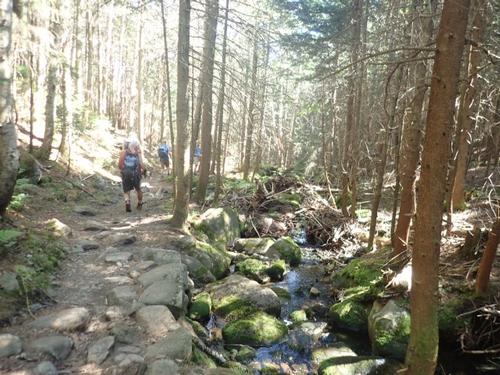
The temperature turned out to be perfect! We took it easy going up. Once back on the former route, the Gorge Brook Trail rose steadily, following an old logging road through mixed growths of hardwoods and spruces beside Gorge Brook’s pools and cascades.
After the second crossing of the brook on a bridge, we took a break. Here we found ourselves on a new trail completed in 1990 which avoids the eroded and steeper former ascent. Rob shared with us that GO member extraordinaire Steve was going to climb this former route today, climb up the slide and meet us on the summit.
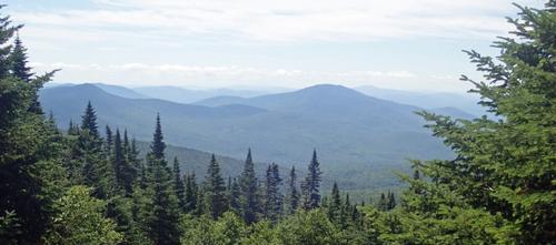
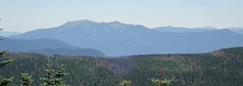
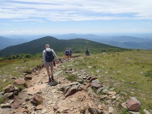
A good ways up the mountain we came to two clearings with the second offering us our first amazing view! It looks like the trees had been blown down or cut, which opened the area. The views was northeast over Jobildunc Ravine and Mounts Jim and Waternomee to Mount Lafayette and other White Mountain peaks.
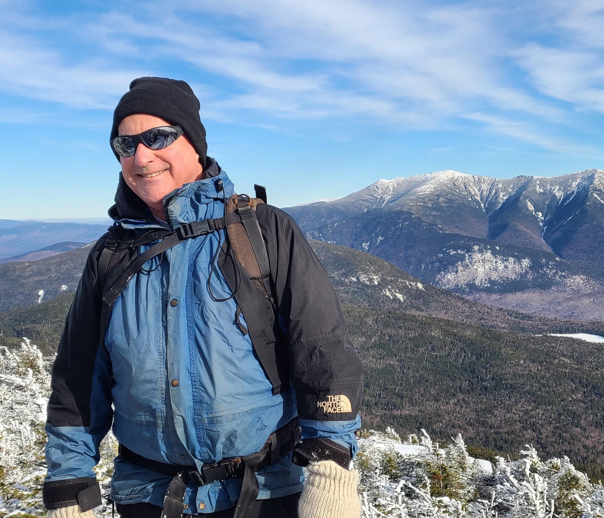
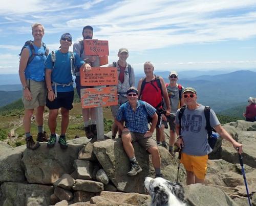
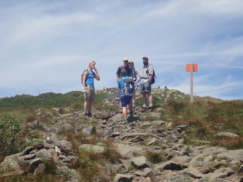
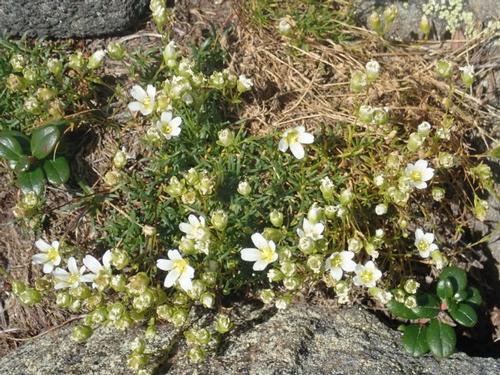
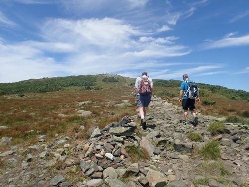
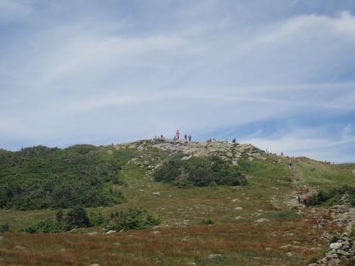
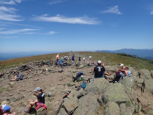
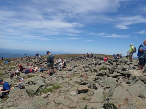
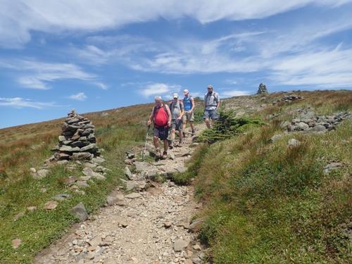
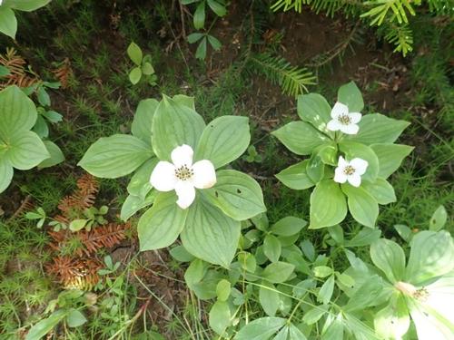
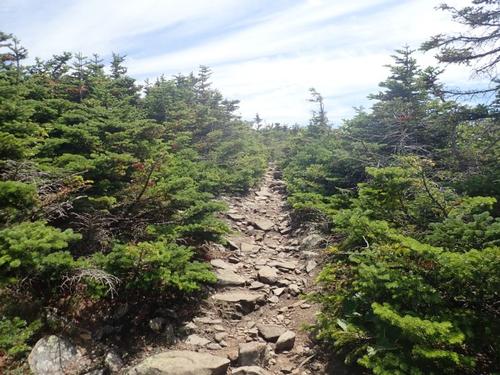
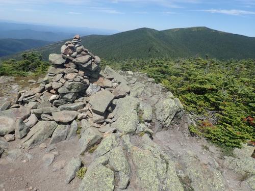
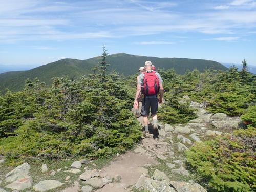
We continued up the trail, past a couple of steep portions and the trees began to get smaller and smaller as we entered the spruce/fir woods. We were treated with amazing views south along the way up. The weather was still absolutely gorgeous and a refreshing breeze welcomed us. Once we reached the alpine zone, a sign warned us of the fragile alpine vegetation. Scrubby heaths alternate with twisted evergreens. The trail was marked by cairns where we observed Mountain Sandwort growing in the rock crevices. The trail led us to the final ascent of the bare, rocky summit. We could see for hundreds of miles. It’s here where we ran into Steve who decided to join us for the rest of our hike. It was fantastic to see you again Steve since we are both so busy running trips we never see each other! At this point we were exposed to weather. It actually became quite cool and windy.
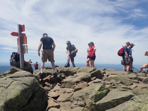
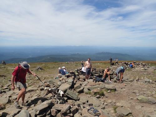
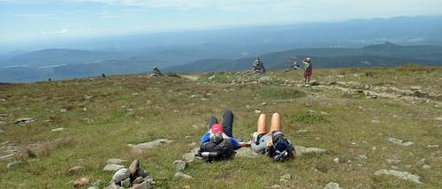
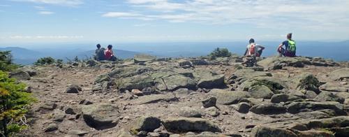
We reached the summit at 12:30PM, and after snapping a few photos we hunkered down amongst some boulders to shield us from the cool wind and ate lunch. James caught his friend from Boston Rob, with his dog on the summit, so we spent a few minutes getting acquainted. There were quite a few people at the summit. The summit offered amazing 360 degree views. The Franconias, 14 miles northeast, marched across the horizon. Westward, across the verdant Connecticut River valley, Vermont’s Green Mountains extended as far as Killington Peak, Camel’s Hump, Mount Mansfield and Jay Peak. Beautiful! This reminded me of why I enjoy hiking so much!!!!
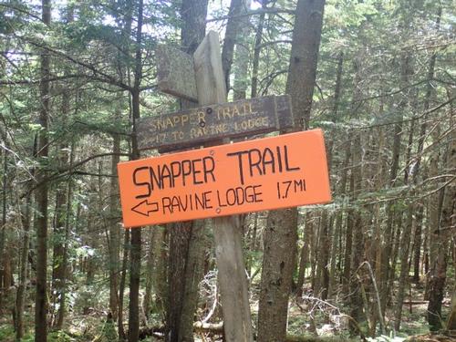
After a few minutes of eating lunch and hydrating, we decided it was time to head down. We decided to take the Carriage Road down which eventually connects with the Snapper Trail which would return us to our starting point. The Carriage Road follows a ridge off the top of Moosilauke towards Moosilauke’s South Peak rather gradually, before descending moderately down the mountain.
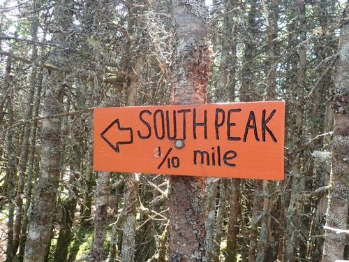
At the junction of the Glencliff Trail, we took the short spur trail to South Peak. This peak is over 4,000 feet but does not maintain the minimum elevation drop/gain of 200 feet with the main peak to make it onto the 48/4k list. The spur path was mostly flat but did climb over some larger rocks and boulders near the end. The South Peak gave us some 360 degree views including forested Baker River valley, Lake Tarleton, Mount Cube, Smarts Mountain, and various ponds. It was well worth the short excursion!
We followed the Carriage Road about 1.25 miles farther to the Snapper Trail. It was fairly easy to descend. It’s hard to believe that people got a team of horses up that road with a stagecoach full of passengers years back. We came across the large rock barrier which is there to hinder snowmobiles from passing any further. At just about any point on the trail, we had fantastic views to the south and east.
We kept a good pace on the way down. After we reached the Snapper trail we began the final push towards the bottom.
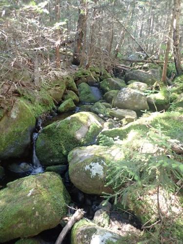
The Snapper Trail is one of my favorites in the Whites. It’s hard to explain why since it doesn’t have any brooks or rivers, rock scrambles or views. Maybe it’s because this is where we return back on a trail after being on the Carriage Road for so long. It is pretty gradual and has good footing. One of the best ways I can describe it is that it’s very green with lots of moss. The vegetation on the trail makes it pleasing to the eye
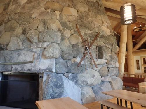
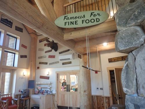
It took us three hours to reach our vehicles from the summit. We examined the newly built Ravine Lodge and what a beauty. We even went inside and were amazed at the stone fireplace that had a staircase built into it leading to the second floor. High ceilings with a wall of glass from top to bottom provided views of Mount Moosilauke.
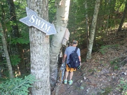
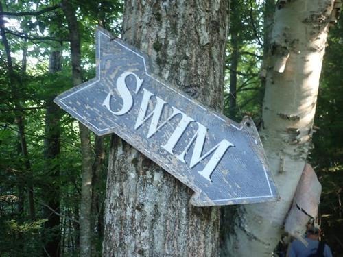
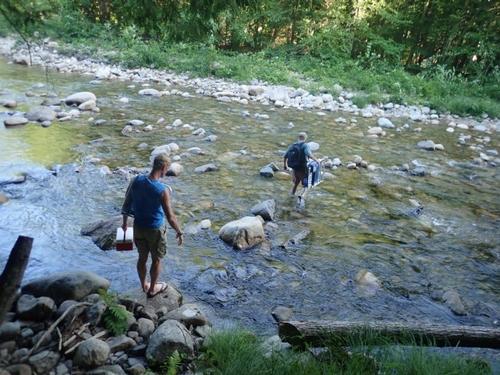
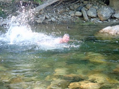
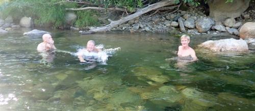
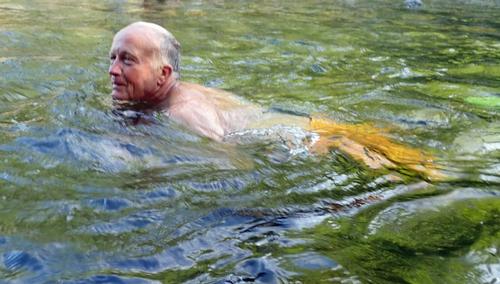
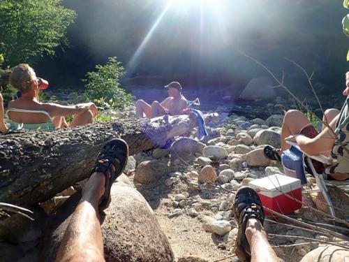
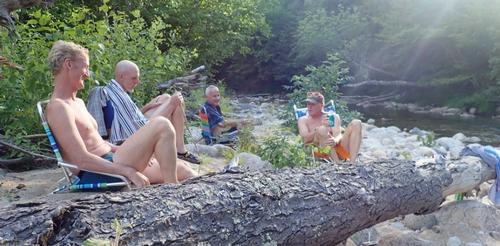
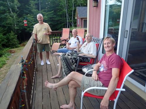
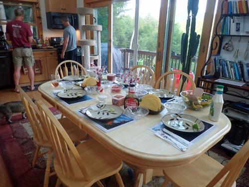
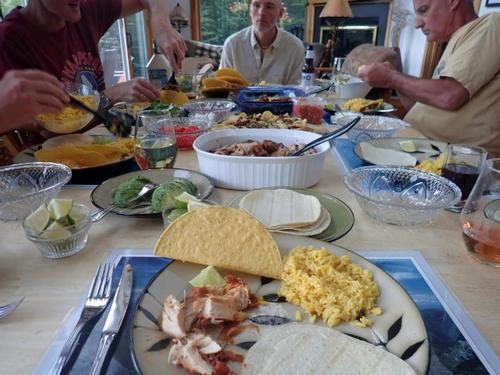
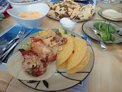
Mostly everyone came back to the Mad River Lodge for a swim! Of course, Rob was the first in. The water temperature was perfect…for a mountain river…refreshing! After our swim, we dried off on our sandy beach sharing past adventures. After changing back at the Mad River Lodge and enjoying wine/beer on the deck, Jon cooked up a delicious Mexican feast.
Overall this is one of Jon's and I favorite loop hikes! The weather was gorgeous, the trails were nice, and the summit was amazing! It was a bit crowded but everyone was respectful along the way so we didn’t mind it at all. We highly recommend this loop hike if you are looking for a good one!!!
Thanks to all the guys that joined, and hope to see you soon on another outdoor adventure! Welcome James on your first GO trip!. Hope to see you again real soon!!!
Hike Stats
Trails: Gorge Brook, Carriage Road, Snapper
Total Time [including breaks]: 6.25 hours
Distance: 7.5 miles
Elevation Gain: 2,450’
~ Trip Report by Mike Boisvert
There are 70 photos in Album (Note: Move mouse pointer over larger pic and click on NEXT for better viewing)


What Members Are Saying About This Trip/Event
- The GO adventures are nothing short of GREAT! Awesome Day... Awesome Peak... Awesome Men... a little wicked humour and good clean fun. Weekends are made just for this!! Cheers Gents!! - Robert.L
- A fantastic hike enjoyed on a gorgeous July Saturday with a fun group of mountain studs. The swim and frosty drinks afterwards on the Mad River made the day even better! - JDNnh
- Mike and Jon...It was an awesome day for your hike up Mt. Moosilauke! Thanks for welcoming me on the second half of your hike. It was great to catch up with you all! Stephen - shep5
- Thanks Mike & Jon for a great hike and delicious Mexican dinner. Great swim in the Mad River to cool off after the hike. See you soon or at Lake Placid. - Bobcat
|
|
||