Trip report
Mount Agamenticus (Introductory Hike)
Hiking/Walk DATE: 06/03/2018 - 06/03/2018
Trip/Event Location: Eliot, Ogunquit, South Berwick, Wells & York, ME
US
Trip Leader(s): MO
Max # People: 12
Trip Guiding / Event Fee: No, I will not be asking participants for money
Difficulty Level: Moderate
INTRODUCTORY HIKE:
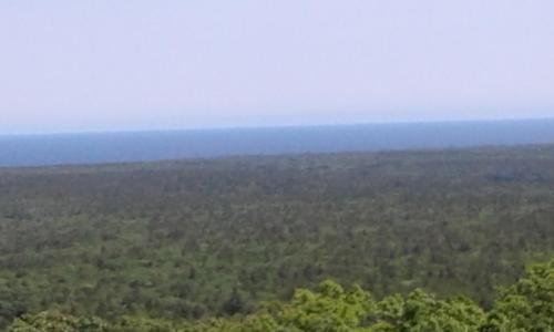
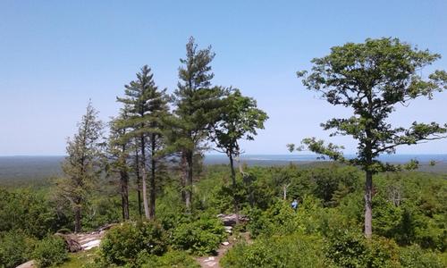
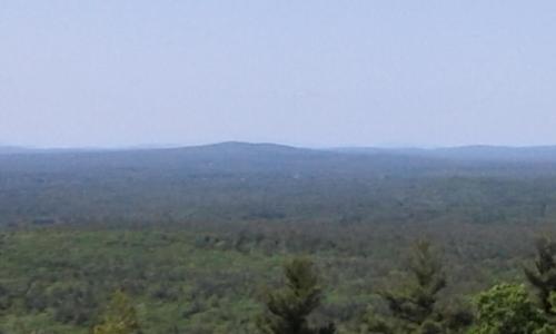
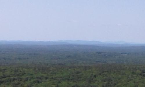
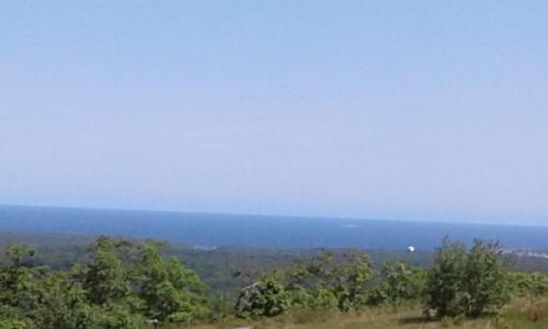
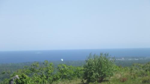
Mount Agamenticus, which is located in southern Maine, is a conservation region made up of over 10,000 acres. The region is made up of a rich and unique coastal
...DIRECTIONS
Driving directions from the North:
Take exit 19 (Wells) off the Maine Turnpike (Rte 95).
Turn left onto ME-109 / Rte 9 East - 1.6 miles
Turn right onto US-1 South – 5.5 miles
Turn right on Agamenticus Rd. --just south of Beach St./ Shore Rd (intown Oqunquit) - 0.4 miles
Continue onto Clay Hill Road – 3.6 miles
Turn right onto Mountain Road – 1.5 miles
Try to park in the Mountain Road parking area (other parking close by on Mt. Agamenticus Road)
Driving directions from the South:
Take exit 7 (York/Ogunquit) off the Maine Turnpike (Rte 95).
Take sharp left – 0.3 miles
Turn right onto Chases Pond Road – 3.7 miles
Continue on Mountain Road (do not take a left on Mountain Road) – 2.6 miles
Try to park in the Mountain Road parking area (other parking close by on Mt. Agamenticus Road)
MEETING LOCATION:
We will meet in the parking area on Mountain Road. But if you can’t find parking there go up Mount Agamenticus Road which has several parking areas – then just walk back to the Mountain Road parking area.
Trip Report/Photos
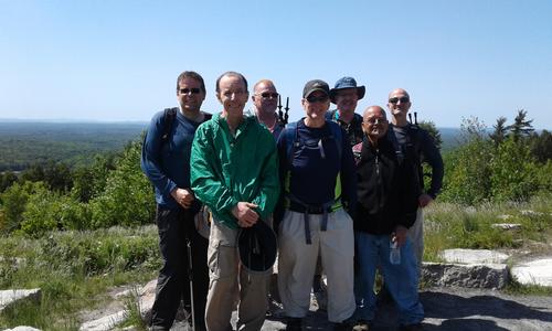
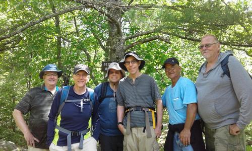
Our Mount A conquest
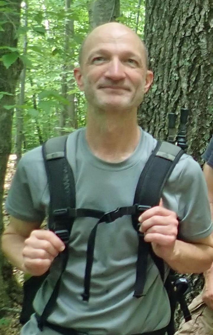
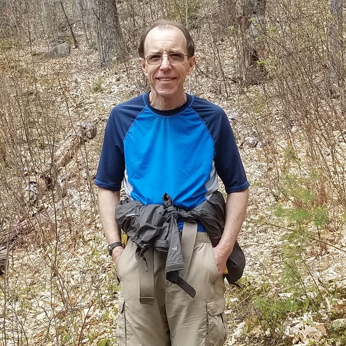
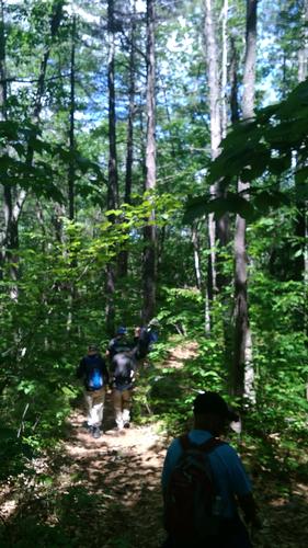
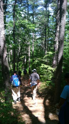
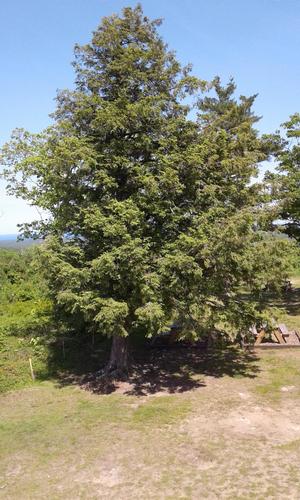
The “decisive day” had arrived. We set out to capture and dominate Mount A. Our quest was to occupy as much of the territory as possible - all in the name of GO. The plan was to sneak behind enemy lines by taking the “road” less traveled and conquering from behind. To avoid suspicion we went undercover - dressed as the locals (in hiking gear).
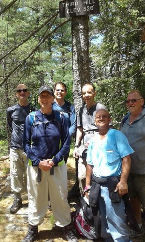
We veered toward the northeast to conquer Second Hill. We encountered little resistance. Having a taste of victory we didn’t stop there. Our next quest was Third Hill. Little did we know this was to be more of a challenge. In a critical, last minute strategic move, we decided to capture the hill via the extended northerly route. We were triumphant! Third Hill was ours. We assessed our casualties and counted the wounded - none. We took time out to relish our victories (it was lunch time after all).
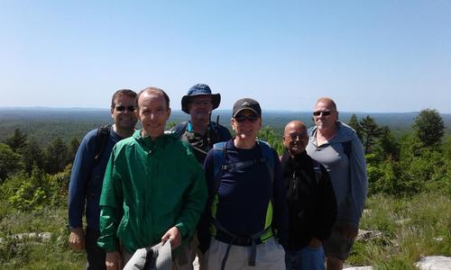
Upon regrouping and contemplating our next steps - fierce invaders (2 women hikers) were encounter. We had to think fast. We attempted to lure them to the elevation sign on the nearby tree – knowing that once they realized they could not survive at such high elevations they would vacate the premises. We did not stay to witness the aftermath - but were confident they would flee or perish and the territory would remain in our hands.
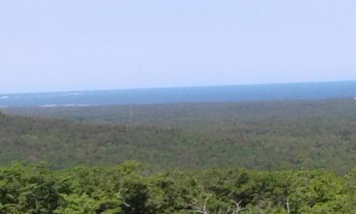
Heading south-westerly we retraced some of our route - in part to ensure the territory remained secured in the name of GO. We then set off for the final conquest - Mount A itself. As we approached the mount we split into two groups. The plan was to overwhelm our adversaries by attacking from both sides. Our plan was flawless. We succeeded in our conquest - the locals, unaware of what hit them, gave up without a fight. With that in mind, we re-strategized once more. We decided to take a gentler more compassionate approach and set aside our pillage & terror strategy. We were victorious. We had conquered the land in the name of GO. Confident of the permanence of our conquest and glorious in our achievements we headed down the mount.
By the way - it was a terrific hike. A fun day with great company and good conversation. Thanks everybody for coming & making this a memorable trek. Looking forward to our next GO conquest.
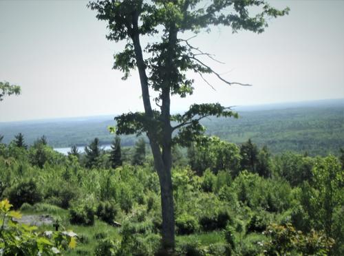
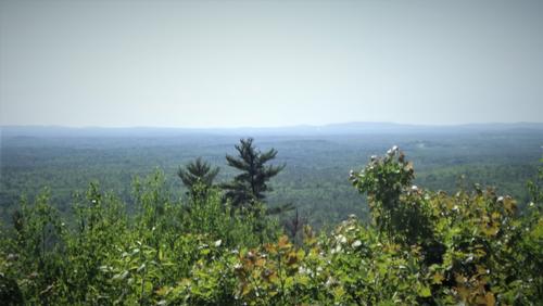
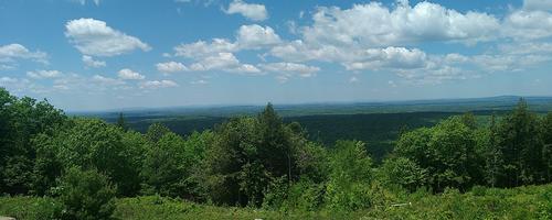
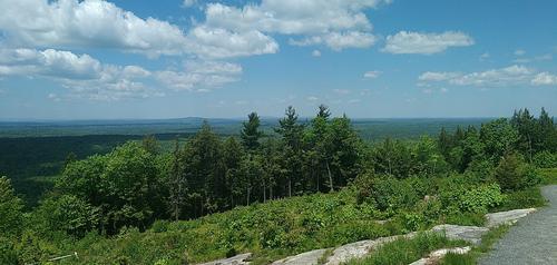
There are 24 photos in Album (Note: Move mouse pointer over larger pic and click on NEXT for better viewing)


What Members Are Saying About This Trip/Event
- Hey Mainers...are you guys like this most of the time? Sneaky strategic maneuvers + conquest w/ compassion topped-off with a shared victory lunch! OMG, where do I apply for a trainee position ;-) - zak
|
|
||