Trip report
Mts. Whiteface and Passaconaway Hike
Hiking/Walk DATE: 06/23/2018 - 06/23/2018
Trip/Event Location: Tamworth, NH
US
Trip Leader(s): Gandalf , JDNnh
Max # People: 15
Trip Guiding / Event Fee: No, I will not be asking participants for money
Difficulty Level: Strenuous
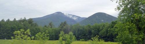
Join us for two 4000 footers: Whiteface [4020'] and Passaconaway [4043']!
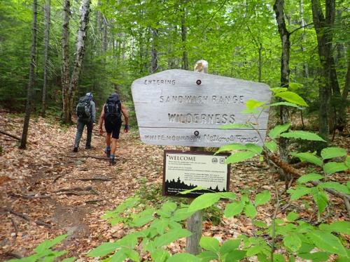
Located within the Sandwich Range Wilderness, Mt. Whiteface has south facing cliffs and ledges which offer sweeping
...Rout 16 North, until the Chocorua region. 113 West, until Tamworth, then Route 113A until the trailhead. Parking area 1/2 miles on a road to the right.
From 93N take exit 24 to Route 3 to Holderness, turn left on Route 113, drive 11.5 miles along Squam Lake, stay on Route 113 thru Center Sandwich, in 3.7 miles continue straight onto 113A for 6.6 miles to the left on Ferncroft Road. Parking area 1/2 miles on a road to the right.
Trip Report/Photos

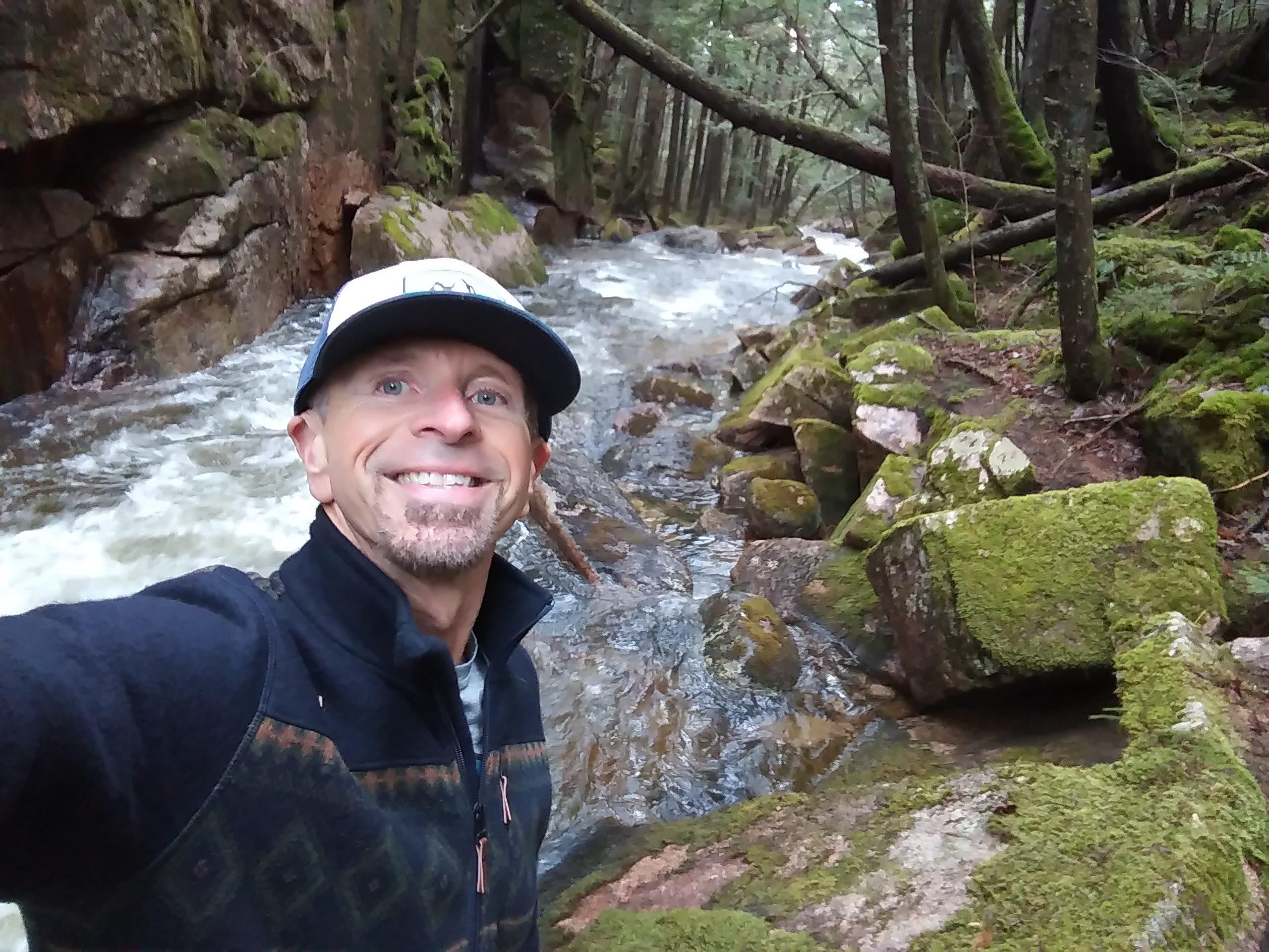
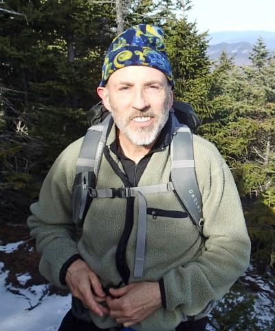
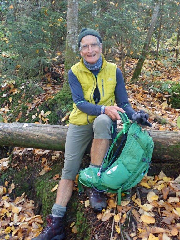
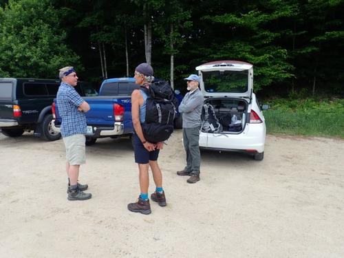
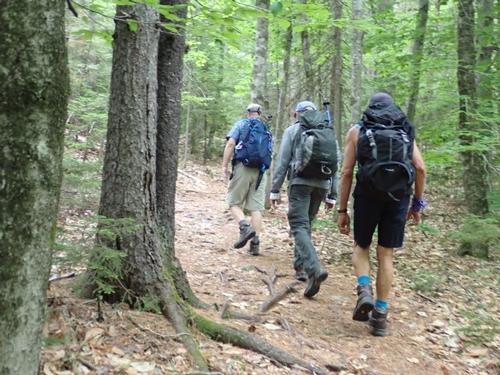
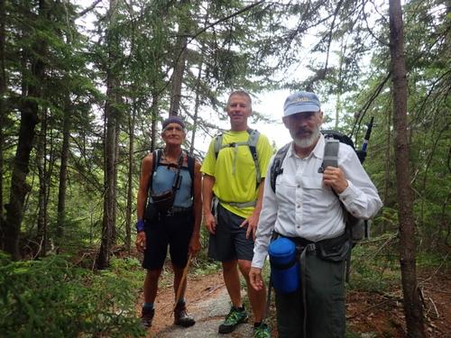
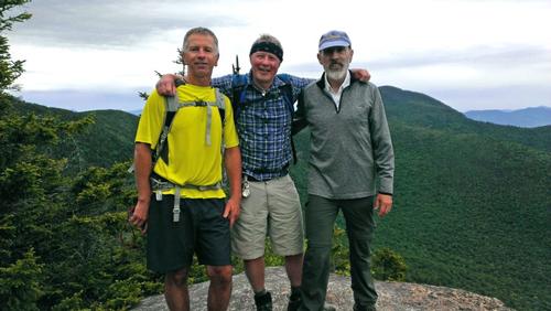
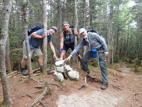
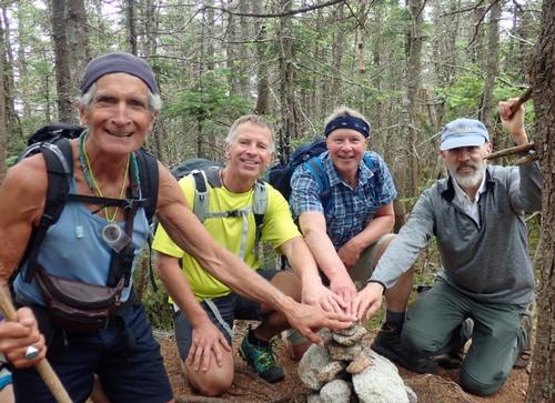
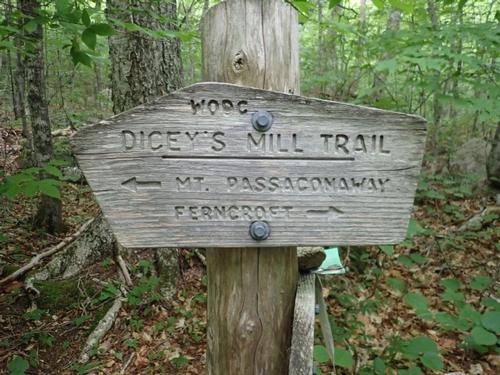
What a way to start Summer! A nice twelve mile round trip hike up Mt. Whiteface and Mt. Passaconaway! Dave and Luciano spent the night with us on Friday and we left the house around 7:00AM. Our destination - Wonalancet, NH, to park in the Ferncroft parking lot and take the Blueberry Ledge Trail up to the summit of Whiteface, before taking the Rollins trail to the Dicey's Mill trail to the top of Passaconaway and then down to the base.
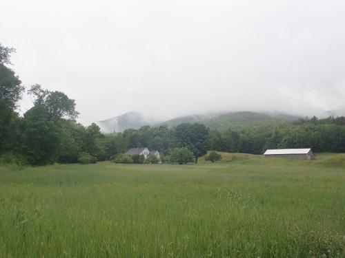
Our drive through Sandwich, NH on Route 113A, was scenic. Huge hills, massive farms, and gorgeous farm houses lined the roads all the way to the Ferncroft lot. The Ferncroft lot is right off of a dirt road in the middle of a field. By the time we arrived at the lot, it was 8:00AM and there was still parking for a few cars. We made our final preparations and waited for Michael who did not show up. We left the lot at 8:15AM, beginning our long hike. We were excited!
The weather forecast called for cloudy skies, temps in the mid-60s and rain arriving later in the afternoon. There was a comfortable breeze and black flies were non-existent.
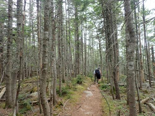
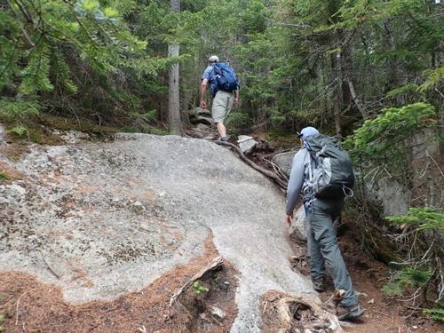
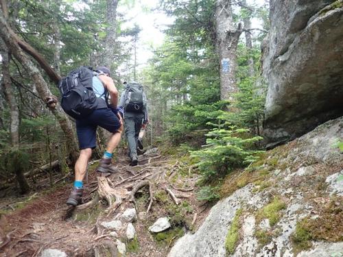
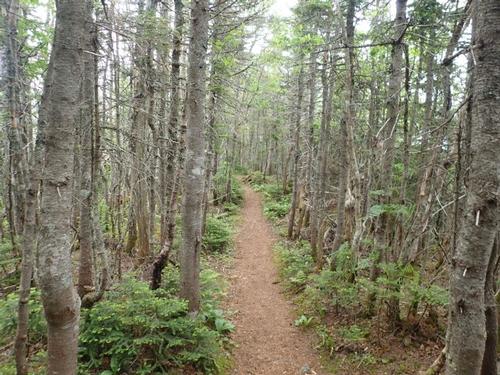
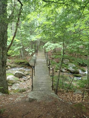
We crossed over Squirrel Bridge and onto the Blueberry Ledge Trail. This path follows a private dirt road with little cottages on both sides for a few hundred yards until it finally veers left and into the woods. The trail gradually gains elevation and soon comes out on to some fairly wide-open ledges.
Someone came up from behind us. Jon thought it was Michael who caught up to us so we became very friendly and welcoming. When he said he was moving ahead we realized it wasn’t Michael. He said he was wondering why we were so friendly…LOL.
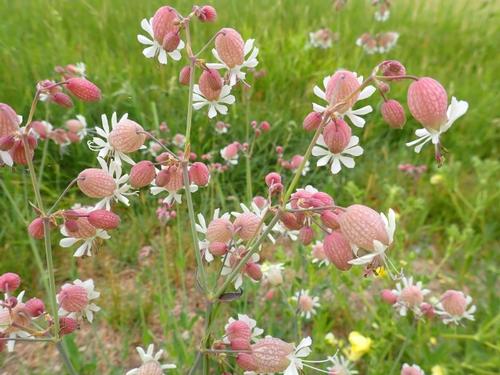
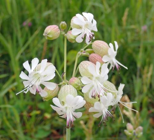
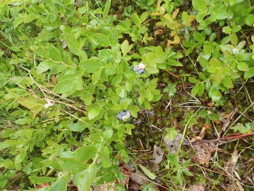
This section of the hike is covered in blueberry bushes, hence the name of the trail. The bushes are heavy now with clusters of berries too! I'm sure the local wildlife will pick them clean before any fruit has a chance to ripen.
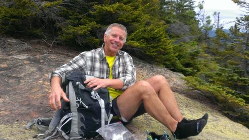
After leaving the bottom ledges, the trail steepens significantly. We were not in a race, so we took our time. Nonetheless I was all in a sweaty mess. After a long, steady climb in conifers, the trail leveled on a densely wooded shoulder where it intersected with the Tom Wiggin Trail. Knowing we had quite a long hike ahead of us, we fueled up with some snacks and swigged down some water.
We continued a steady climb through the woods until we suddenly popped out onto the first serious ledge of the hike. I say "serious" because if anyone ever fell off this cliff, they'd perish for sure. I was too cautious to go right up to the edge, but I bet it's a good 100-foot drop to the bottom.
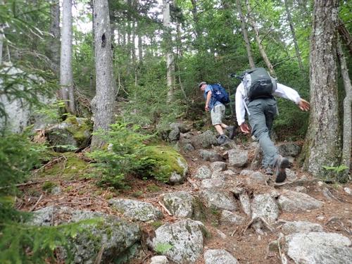
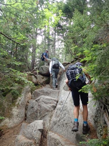
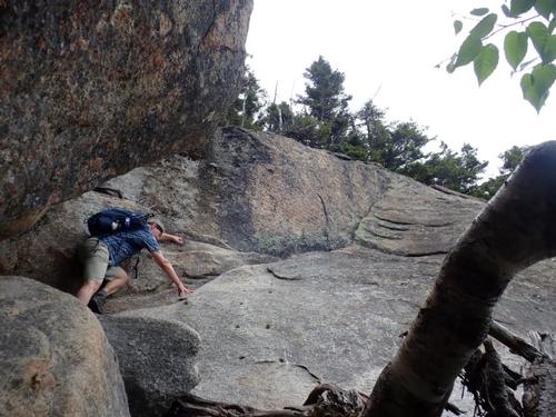
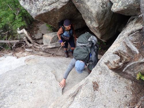
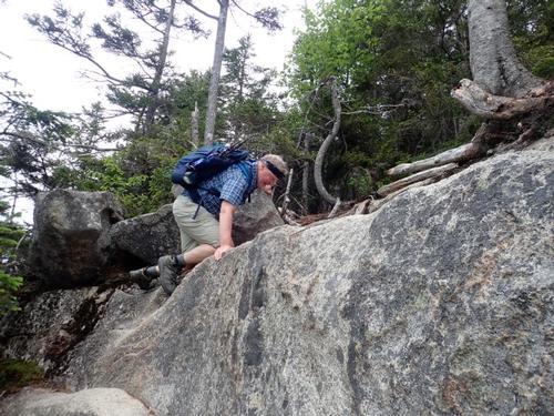
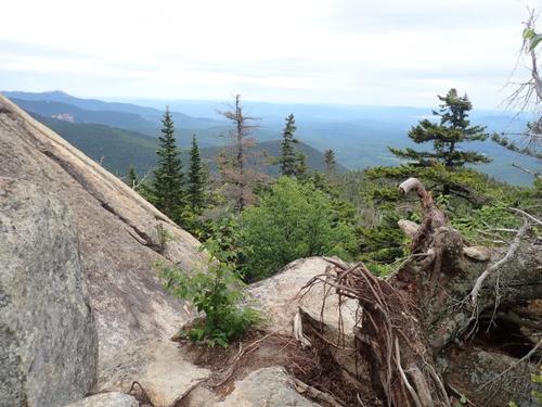
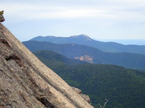
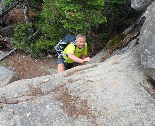
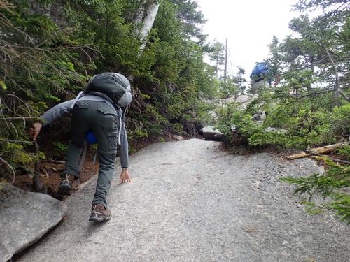
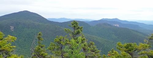
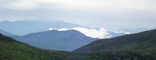
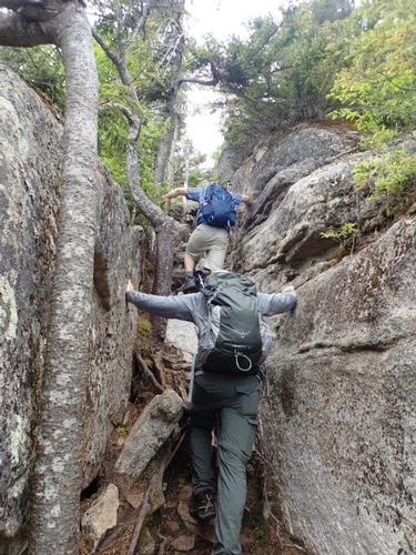
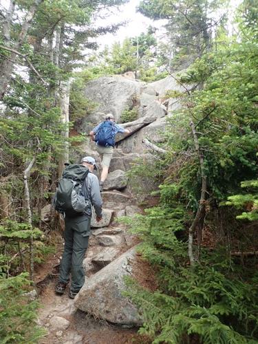
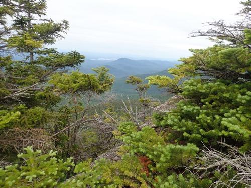
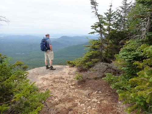
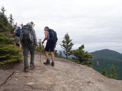
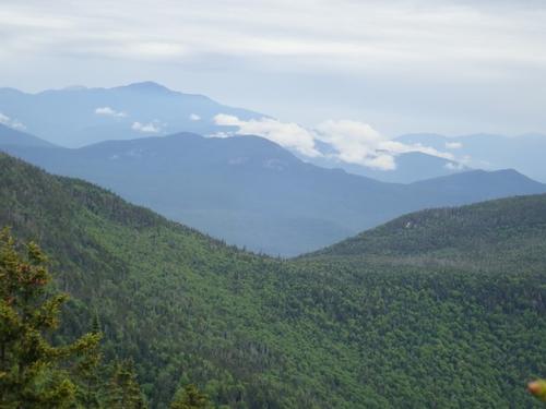
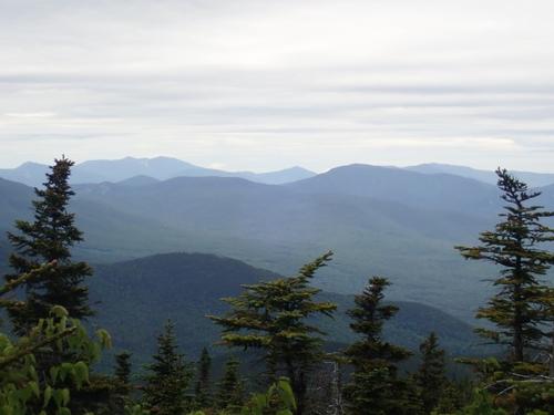
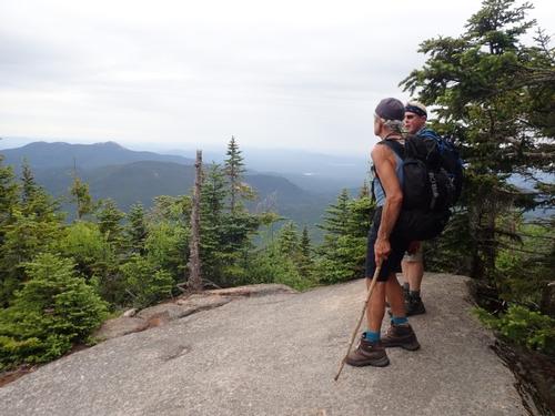
After a few more steep sections, we came out into big open, flat, rock faces that offered us our first views. The views out to Lake Winnipesaukee were outstanding. It was beautiful. There were some sections coming up that required you to literally scale rock ledges, so I was more than excited to continue on. We officially entered the SCRAMBLE ZONE!
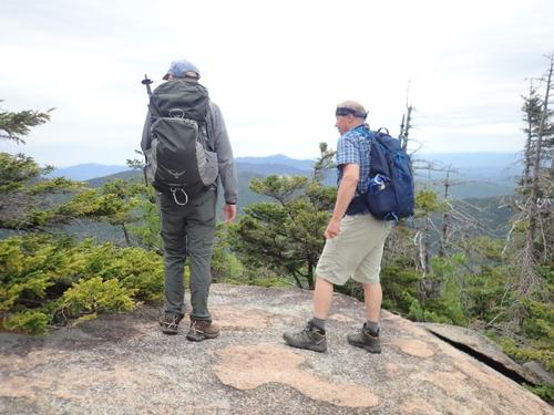
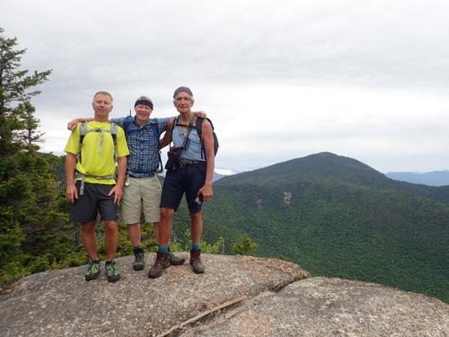
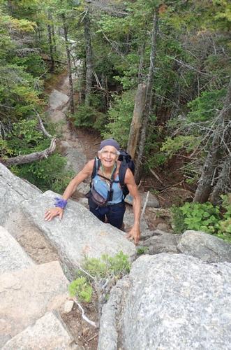
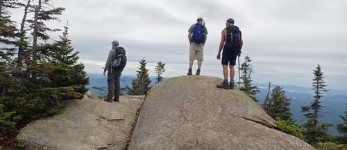
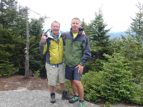
This was awesome. The trail got a bit more challenging as we hit the south summit ledges directly above the cliff. In front of us were a series of rock ledges that we had to maneuver up. This was what I was looking forward to. The Wonalancet Outdoor Club (WODC) has drilled a number of "finger holes" into the steep rocks here so that you can get a good grip while scampering up the rocks. This makes the climb a breeze; at least in perfect summertime weather like today. Being somewhat of a thrill seeker, I clearly tried to avoid the "easy" way up these sections, and much to my mother’s dismay, took some questionable routes (sorry, Ma!). It was a lot of fun climbing around on the rocks, and the views were incredible. We must have spent about half an hour just taking pictures from the various ledges off the south summit. If you want a hike with incredible views, you want Mt Whiteface. This section propels Mt. Whiteface to the top of my list of favorite hikes.
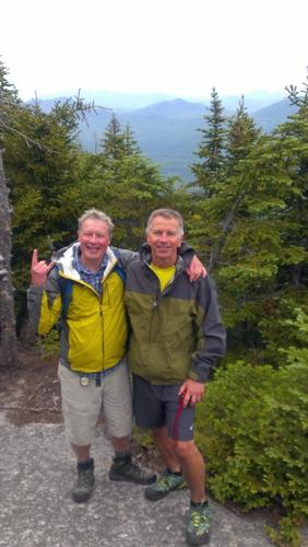
We reached the summit of Whiteface at exactly 11:00AM. Our sense of accomplishment was a bit clouded as we realized we still had a good eight miles to go.
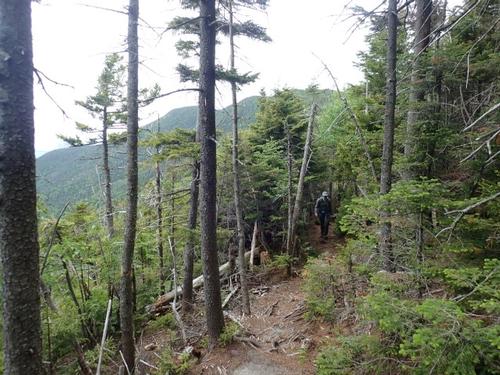
A little further on, past the dramatic south ledges, we picked up the Rollins Trail. The Rollins trail, which we took to get over to the Dicey’s Mill trail is a meandering, roller-coaster type trail.
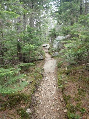
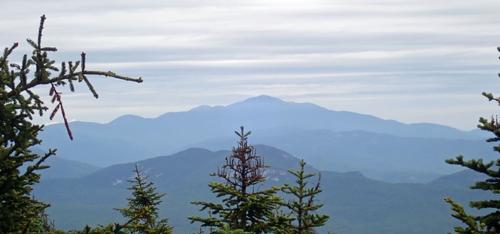
Rollins took us over the true, unmarked summit of Whiteface and on to Passaconaway. This wooded ridge trail is pleasant and gave us occasional glimpses of peaks to the northeast, including Passaconaway itself.
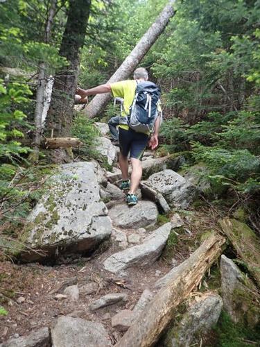
After a couple miles the Rollins Trail intersects with Dicey's Mill Trail. We took a lunch break here where we began to feel raindrops. We thought about skipping Passaconaway but we were so close! After lunch, we began to head to the summit of Passaconaway. This last part of the hike took us over a few wet and muddy sections of trail, but nothing major. The last .02 mile was steep and rocky. This last section was a beast - especially after already hiking a long way. The trail travels at about a seventy degree angle, and just when you think it is going to flatten, it takes a quick turn and ascends some more. Brutal. At 2:00PM we finally reached the summit of Mt. Passaconaway!
You would think that after such a brutal approach, that the summit of Passaconaway would be covered with beautiful blonde shirtless Swedes waiting to give you a cocktail and a massage. Perhaps an ice-cream parlor and a hot tub. Nope!
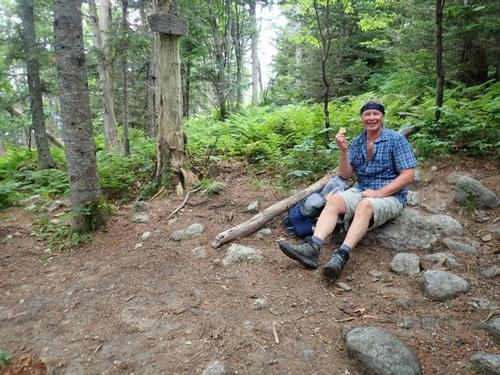
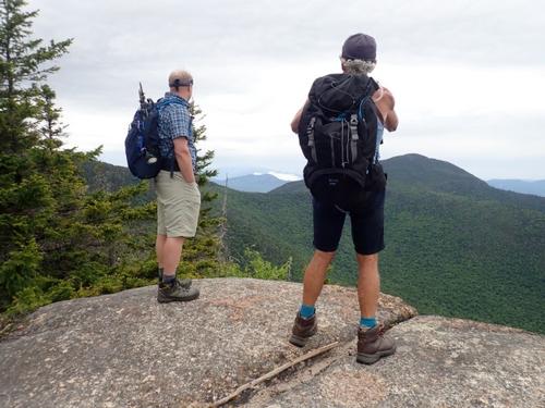
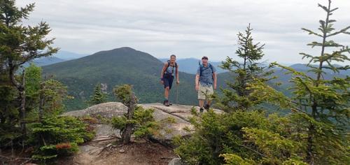
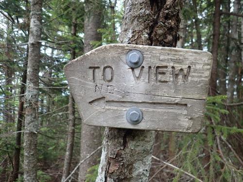
The very summit of Passaconaway, however, is a let-down. Near the top we came to a herd path going right [summit sign pointing right is gone]. Forty yards down this path and there we were….a tiny little clearing. That's it. The summit is nothing but a dead end trail in the middle of the trees. No sign congratulating you, no view to take a picture of, not even a rock to sit on! What a slap in the face. Oh well, at least we got a good summit picture!
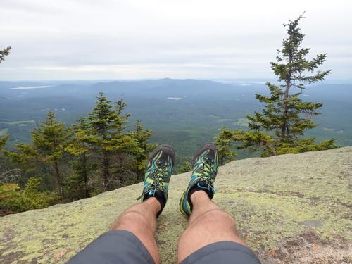
The hike up Whiteface was so nice that it more than made up for it. Actually, the best thing about Passaconaway is an east outlook roughly 250 yards beyond the true summit. This narrow ledge offers excellent views right up to the Rock Pile. We snapped a few pictures, chugged some water, and started the 4.5-mile descent back to the Ferncroft parking lot.
The first part of the descent was slow, as we were hiking back down the steep rocky sections of the climb up, but the remainder of the Dicey’s Mill trail was rather quick on the way down. We started to feel raindrops. We crossed the Wonalancet River with Luciano doing his Cirque-du-Soleil maneuvers using a log above the river to cross!
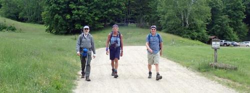
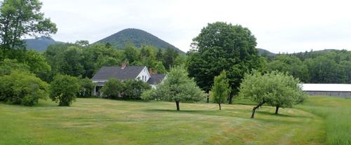
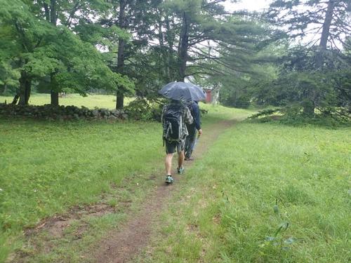
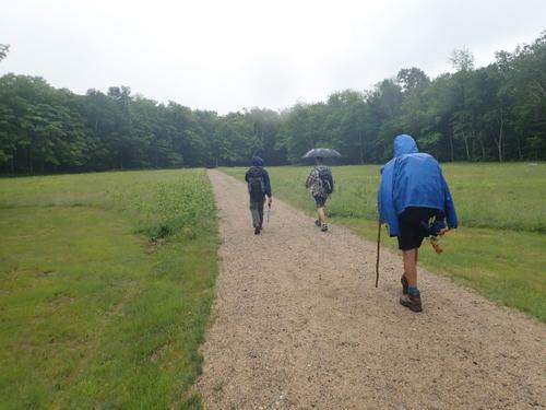
After this crossing it began to rain so put on our rain jackets with Jon pulling out his umbrella. Near the end of the hike, we broke through the trees and began walking across the property of someone’s beautiful country farmhouse towards the car. This area was absolutely gorgeous. It made Dave honestly consider dropping everything to move out there. We made it back to the vehicles at 4:15PM. This was a beast of a hike, but nonetheless it was awesome!
We freshened up a bit, and headed back home. Dave and Luciano drove back to Boston while Jon & I drove back to our house. Jon cooked up some Bison steaks along with a baked potato; with pasta and salad for sides. Delicious!
The views and rocky sections of Whiteface make it all worth it!
Hike Stats
Trails: Blueberry Ledge, Dicey’s Mill, Rollins
Total Time (Including Breaks): 8:00 hours
Distance: 11.9 Miles
Elevation Gain: 3800'
There are 94 photos in Album (Note: Move mouse pointer over larger pic and click on NEXT for better viewing)


What Members Are Saying About This Trip/Event
- I would have LOVED to be on this adventure... sigh.... the gardens took precedence this weekend... anything worth having is worth tending and so the gardens were in need of some TLC. Looks like you all had a great trip - bravo! - Robert.L
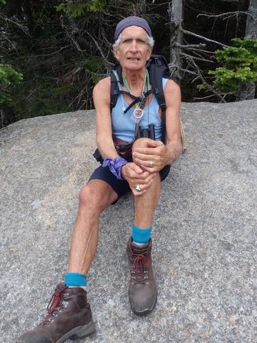
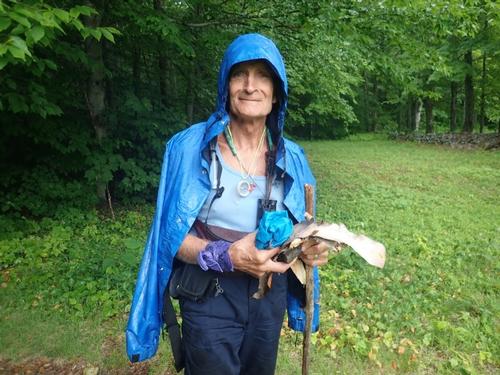
- Wonalancet River Crossing (85/94): my geriatric version after a passing elf breezed over it, but added fun close to parking lot and... ambulance if needed. Several good looking, young people (prevalence of girls) along the way. Missed that night: the bison steak and a...2014 Barbaresco properly " chambre' " with it. Thank You Mike, Jon, David. - Scorpione
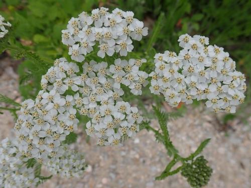
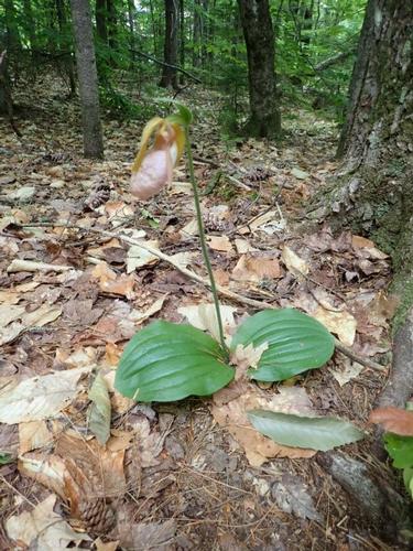
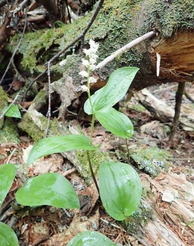
- Another enriching gathering, energetic scrambling, beautiful views, and...purloined bunchberry (Cornus Canadensis. :-) Luciano - Scorpione
|
|
||