Trip report
1st Sunday Breakfast and Hike
Hiking/Walk DATE: 03/04/2018 - 03/04/2018
Trip/Event Location: Williamsburg, VA
US
Trip Leader(s): TrailGuyEric
Max # People: 15
Trip Guiding / Event Fee: No, I will not be asking participants for money
Difficulty Level: Easy to Moderate
Join us for our Sunday Hike at 11 a.m., York River State Park. Meet at the parking lot near the Visitor’s Center on your left (see map)
We’ll hit the Taskinas Creek Trail (2 miles
...Hike: 9801 York River Park Road, Williamsburg, Va. 23188 (11:00 AM)
Breakfast: Patsy’s, 9311 Pocahontas Trail, Providence Forge, VA 23140. (9:30 A.M.)
Trip Report/Photos
We met up at Patsy’s in Providence at 9:30 a.m. and had a nice breakfast on a chilly, windy, but sunny morning. We left Patsy’s a little after 10 a.m. and drove to York River Park. We arrived at the park around 10:40 a.m. and walked around the interesting Visitor’s center reading the rich history of Indians, Colonial Settlers as well as geology of the area over the last 120,000 years.
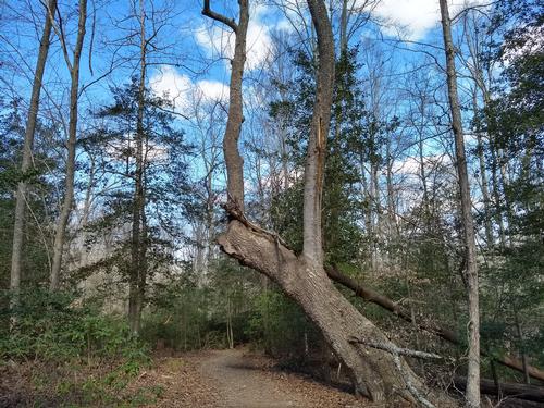
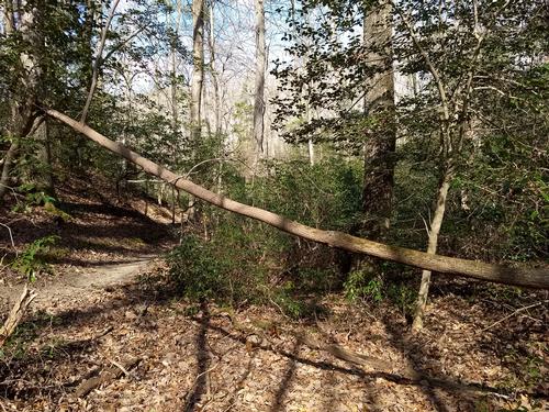
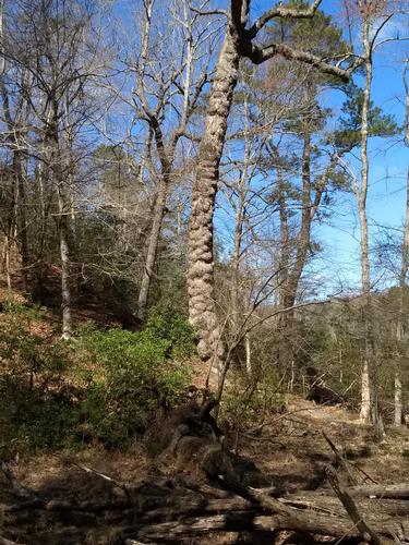
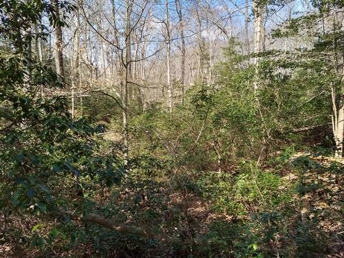
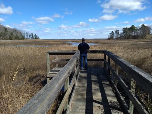
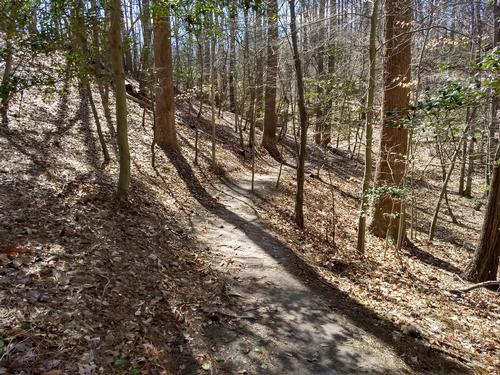
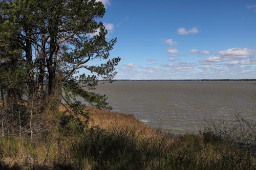
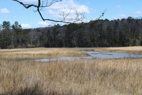
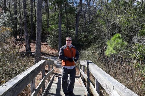
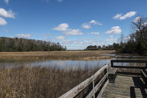
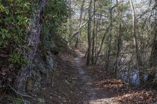
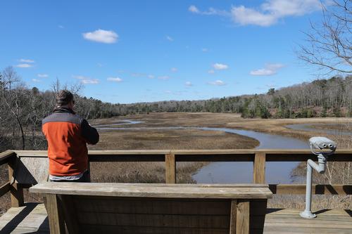
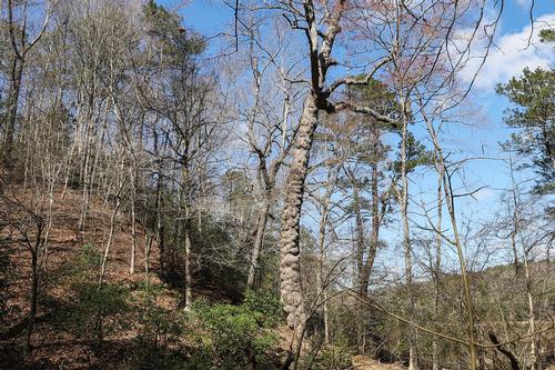
We began the high just after 11 and started down the Taskinas Creek Trail, winding through the many hills and turns through the understory of Mountain Laurel and Holly in and around large Beech and Oak. We stopped at 5 or 6 observation decks to take in the Taskinas estuary and river which were great places to stop and take a rest in the warm sun (when the wind wasn’t blowing). We took a ¼ mile spur out to the longest and largest observation deck and noticed the river was flowing backwards due to high tide. We took the spur back to the main trail and then back to the trail head finishing the first hike in 1 hour and 20 minutes noticing the posted trail mileage of 2.16 differed greatly with our mileage tracker of 3.3 miles.
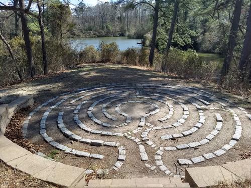
We then headed towards Woodstock Pond, diverting for a quick view of the Labyrinth and meditation area overlooking the pond. We walked around the pond, over the small spillway and up the hill. We transferred from the Woodstock pond trail to the Beaver trail to take in a trail that circumnavigates the pond and brings you back to the main parking lot. We finished the trail and got back to the car around 1:45 p.m. for a total of 4.8 miles.
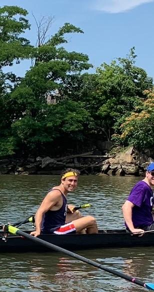
There are 18 photos in Album (Note: Move mouse pointer over larger pic and click on NEXT for better viewing)


|
|
||