

HIKES & EVENTS
12.7 mile AT Hike - VA 601 to VA 615
Full Day Hike
DATE: Jul 13, 2021
END DATE: Jul 13, 2021
Hike/Event Location: Marion VA
Trip Leader(s)
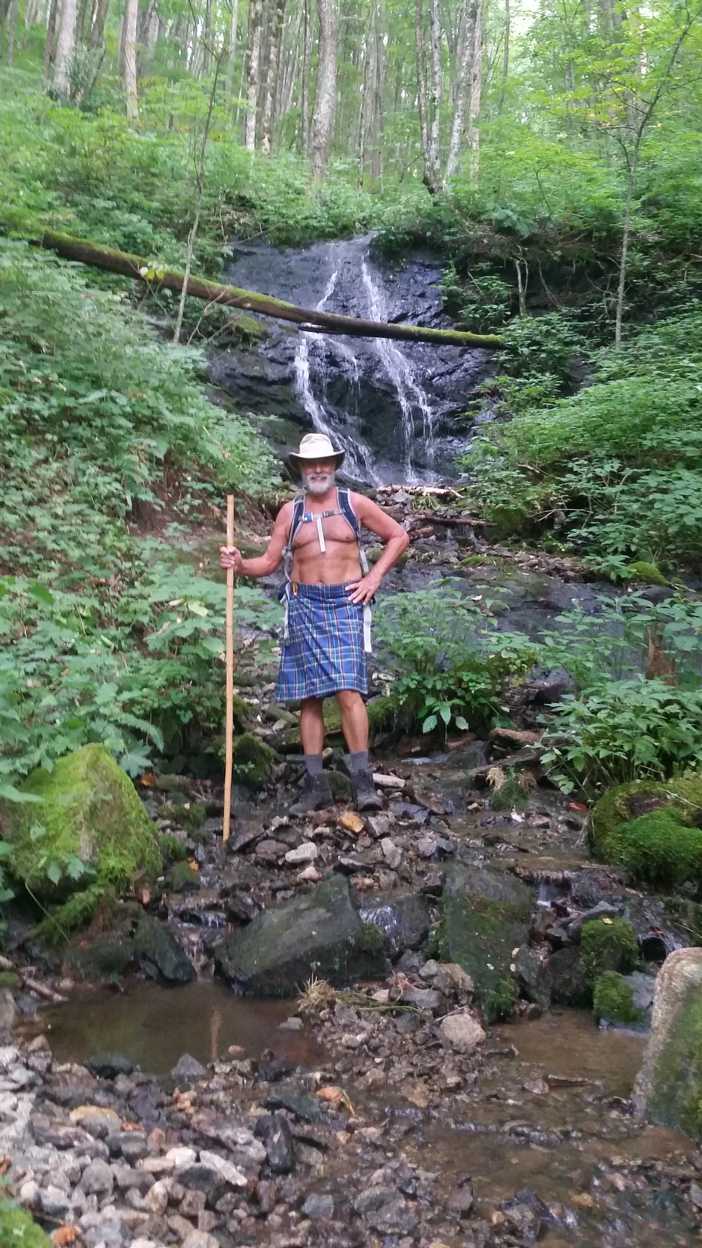
dnaturist
Jacksonville, FL United States
Meeting Time: 9:00 AM
Max # People: 8
Hike Guiding / Event Fee: No, I will not be asking participants for money
Hike Difficulty Level:
Moderate to Strenuous
(Do you qualify to attend with this hike difficulty rating? Click Here.)
Sign Up To This Trip/Event
You must be a least a guest member to participate. Comments such as "+1" or "bringing a friend" are NOT permitted. All participants must sign-up for the event individually.
Select your mode of transportation, make any comments and then click on button.
You are not logged in.
Please, Log In
Summary
This is a one-way hike on the Virginia Appalachian Trail and will require an auto shuttle. We will drop a car at the termination point of the hike at VA 615, and the Settlers Museum of Southwest Virginia. After dropping a car we will drive to the start of the hike on VA 601 (Pugh Road).
The hike will begin with a series of ups and downs along a ridge-line. Not much in the way of views for the first 4.1 miles where we cross VA 16. At VA 16 is the Mt. Rogers National Recreation Area headquarters, which will give us a nice rest stop.
Leaving VA 16 we will begin an ascent of about 500 feet, from 3300 feet to 3800 feet, over the next 1.2 miles through hardwoods and rhododendrons.Once reaching the crest we shall have a series of ups and downs along the ridge line for about 3 miles. Then we'll start our last climb to Mt. Glade over the next mile. From Mt. Glade we will begin a long descent of about 3.5 miles (good views) to VA 615 and the Settlers Museum of Southwest Virginia and the end of our hike.
Plan on spending 7.5 hours on the trail for this hike. That does not incude driving time.
Directions To Trailhead Parking Lot
We shall meet in the morning before our hike at the Hardee's restaurant in Marion. The address for the Hardee's is 347 N. Main St. The zip code is 24354. The phone number for the Hardee's is (276) 783-6441.
We will be leaving the Hardee's for the trailheads at 9:00 A M sharp. Please plan to arrive earlier for instructions and breakfast.
Trip Leader
 Invite To Be Your Buddy
 Send Email
- Online Status: OFFLINE
- Last Login: 11/02/2023 07:02 PM
- Member Since: 11/12/2013
- Approved By: Gandalf
members signed up for this event

- Online Status: OFFLINE
- Last Login: 11/10/2021 10:49 PM
- Member Since: 10/20/2015
- Driving My Own Car
(Willing to give guys a ride)
 |
 |
