

HIKES & EVENTS
Sphinx Hike
Hiking/Walk
DATE: Aug 24, 2019
END DATE: Aug 24, 2019
Hike/Event Location: Bretton Woods NH
Trip Leader(s)
phoenix
Somersworth, NH United States
Meeting Time: 8:30 AM
Max # People: 10
Hike Guiding / Event Fee: No, I will not be asking participants for money
Hike Difficulty Level:
Strenuous
(Do you qualify to attend with this hike difficulty rating? Click Here.)
Sign Up To This Trip/Event
You must be a least a guest member to participate. Comments such as "+1" or "bringing a friend" are NOT permitted. All participants must sign-up for the event individually.
Select your mode of transportation, make any comments and then click on button.
You are not logged in.
Please, Log In
Summary

Why travel to see the Egyptian Sphinx when the NH Sphinx will cost you far less time and money (1 day, gas for your car + $3 for a White Mountain Parking Permit)? As was true for the deceased Old Man of the Mountains (2003, RIP), the NH Sphinx only reveals itself if you stand in certain locations on a clear day. However, you can’t just drive your car to a turnout, snap a Sphinx picture, and be on your merry way – you must do a strenuous hike before and after taking your valuable selfie!
We will take the Caps Ridge, Cornice, and Gulfside Trails to Sphinx Col. Along the way, we will enjoy the grandeur of Mts Jefferson, Clay, and Washington (but resist summiting any of them). Then taking the Sphinx Trail, we will descend less than a half mile into the Great Gulf until we are just below an alpine meadow. Upon turning around, we will be awed by the sight of the Sphinx on the rocks above us. There will be time for photos and lunch with the Sphinx. After this uplifting experience, not a word of complaint will be uttered as we ascend the 800 feet back to the Cornice trail. From that point, it's all downhill as we retrace our steps back to our vehicles. I have hiked these trails before, but didn't have a camera to photograph the Sphinx.
Cautionary Note: For about 4 miles, we will be above tree line in an area that is known for its unpredictable weather and low passing clouds. Therefore, all attendees need to come prepared for more than an average summer hike just in case. The hike is strenuous not so much because of mileage and/or elevation gain, but because the trails climb on and over rocks that makes the hike much more exhausting. Since we are out to capture the Sphinx on film, a bad weather forecast will postpone or cancel the hike.
What to Bring: Plan for a hike that requires layers – outer shell that protects from wind/rain, a fleece layer for warmth, no cotton/blue jeans. Yet don’t forget sunscreen and bug repellent. Bring along plenty of water (at least 2 liters), lunch/snacks, and anything else required for a day hike. Contact me if you have any questions.
Mileage: 7 miles
Elevation Gain: 3050 feet
Time: 7.5 hours
Directions To Trailhead Parking Lot
From the South (Route 302), turn on to the Cog Railway Base Rd at Fabyan Station. Drive to the intersection with Jefferson Notch Road on the left and Mt Clinton Road on the right (which is closed on this end). Turn left onto Jefferson Notch Road (good gravel road, but curvy/narrow in places) and drive carefully for 3.4 miles to Caps Ridge trailhead on the right side.
From the North (Route 2), Turn on to Valley Rd and drive to the intersection with Jefferson Notch Road. Turn on to Jefferson Notch Road (rough gravel road but passable) and drive carefully for 5.5 miles to Caps Ridge trailhead on the left side.
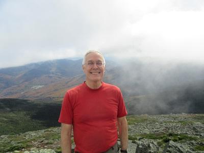
Trip Leader
 Invite To Be Your Buddy
 Send Email
- Online Status: OFFLINE
- Last Login: 04/23/2024 08:16 PM
- Member Since: 02/24/2013
- Approved By: Gandalf
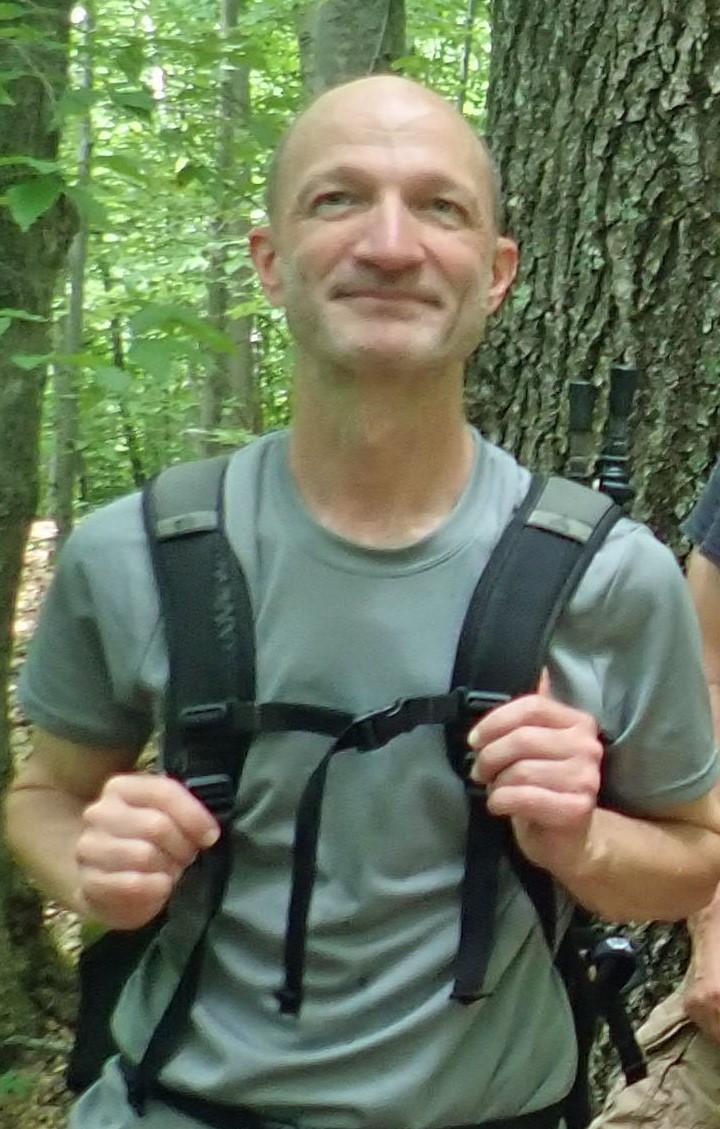
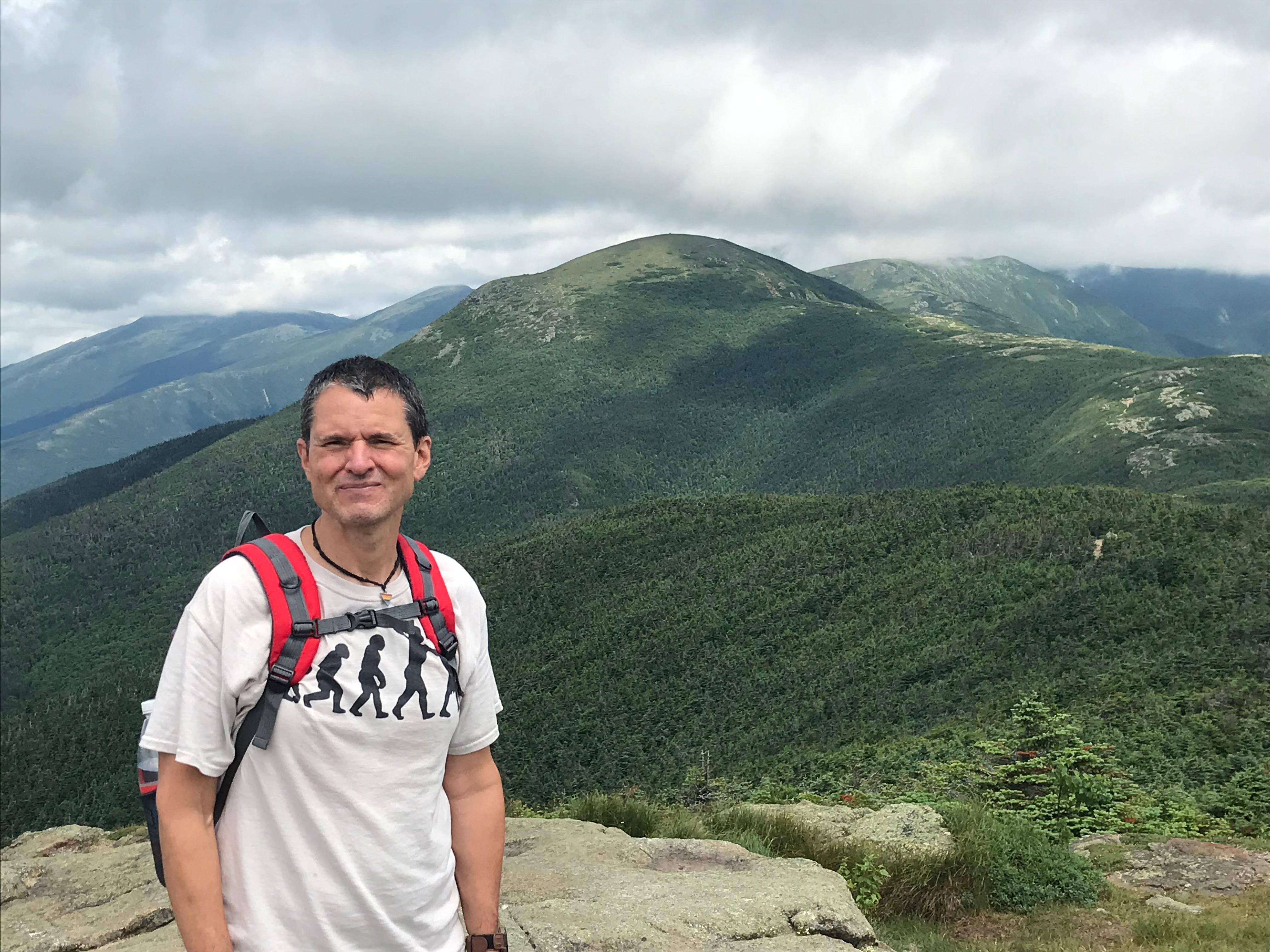
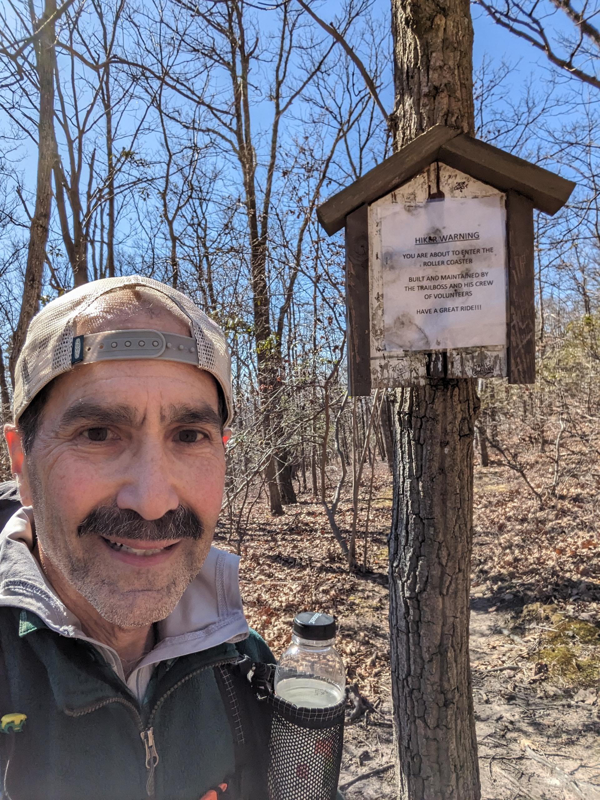
members signed up for this event
- Online Status: OFFLINE
- Last Login: 04/23/2024 03:57 AM
- Member Since: 12/06/2016
- Driving My Own Car
(Willing to give guys a ride)

- Online Status: OFFLINE
- Last Login: 04/17/2024 01:36 PM
- Member Since: 06/30/2019
- I Need A Ride
- Online Status: OFFLINE
- Last Login: 04/19/2024 08:19 AM
- Member Since: 02/18/2018
- Driving My Own Car
(Willing to give guys a ride)
- Online Status: OFFLINE
- Last Login: 02/23/2024 11:43 AM
- Member Since: 08/17/2005
- Driving My Own Car
(Possibly willing to give guys a ride)

Outdoor Fitness Level: Moderate to Strenuous
Bristol & Isla Bastimentos, Bocas del Toro, Panamá, NH
United States
- Online Status: OFFLINE
- Last Login: 12/30/2023 09:52 PM
- Member Since: 05/20/2006
- Driving My Own Car
(Possibly willing to give guys a ride)
 |
 |
