

HIKES & EVENTS
Pleasant Mountain Hike
Hiking/Walk
DATE: Jun 09, 2018
END DATE: Jun 09, 2018
Hike/Event Location: Bridgton-Denmark ME
Trip Leader(s)
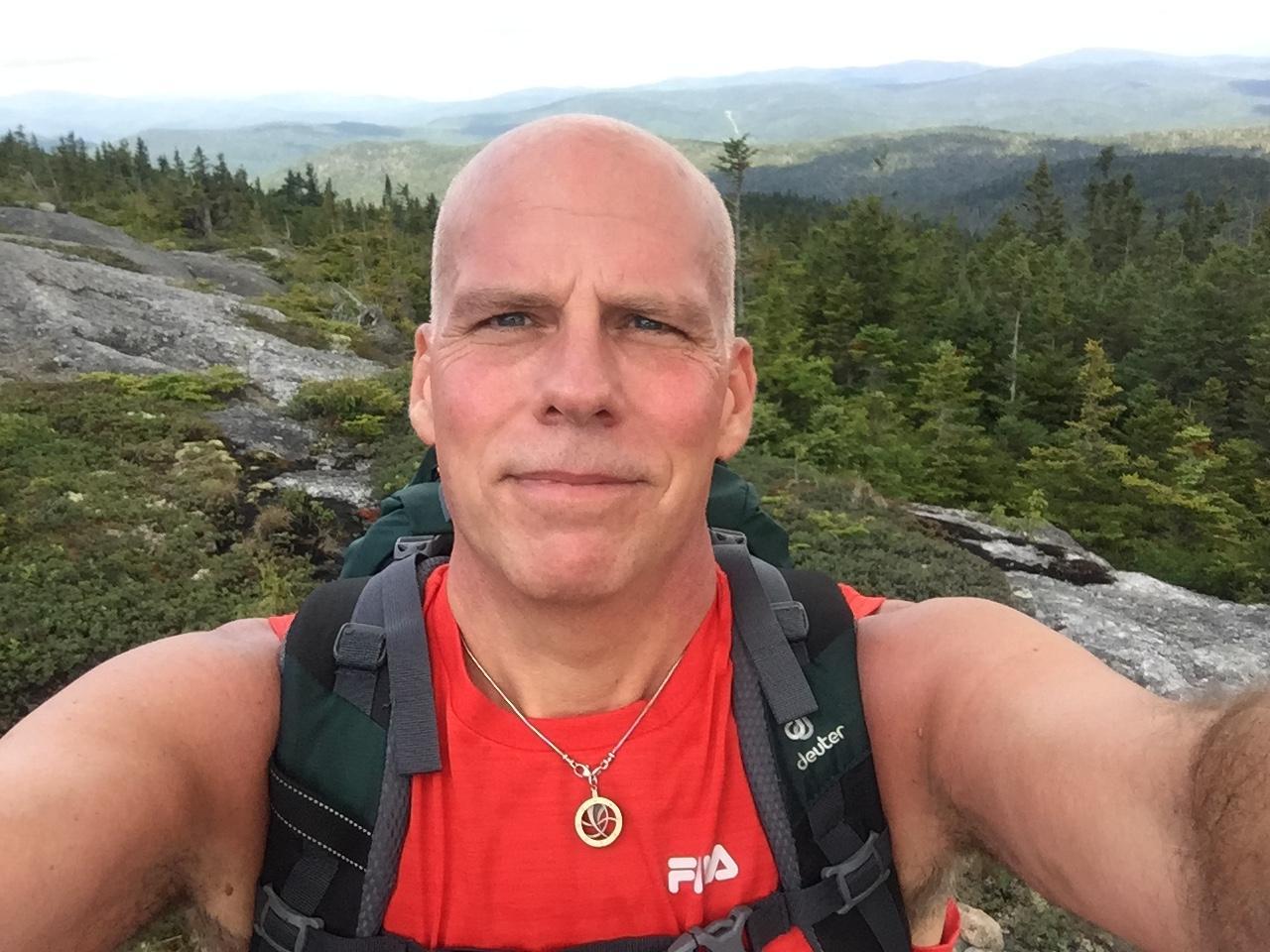
MO
Lancaster, NH United States
Meeting Time: 10:00 AM
Max # People: 12
Hike Guiding / Event Fee: No, I will not be asking participants for money
Hike Difficulty Level:
Moderate
(Do you qualify to attend with this hike difficulty rating? Click Here.)
Sign Up To This Trip/Event
You must be a least a guest member to participate. Comments such as "+1" or "bringing a friend" are NOT permitted. All participants must sign-up for the event individually.
Select your mode of transportation, make any comments and then click on button.
You are not logged in.
Please, Log In
Summary
ABOUT PLEASANT MOUNTAIN:
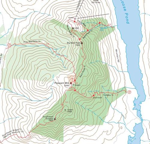
Pleasant Mountain is southern Maine’s tallest mountain standing at 2006 feet tall and is located within an hour drive of Portland, Maine. The mountain contains nearly 10 miles of various trails managed by the Loon Echo Land Trust. The summit rewards you with beautiful views of the surrounding Saco River valley and the White Mountains. Pleasant Mountain is an isolated, lengthy mountain mass that stretches about 4 miles on the north-south line of Bridgton and Denmark. The main summit is open and filled with ledges. The summit was once known as House Peak because it was home to a hotel from 1873 to 1907. The views from the main summit and Big Bald Peak are outstanding. There are at least 6 trails heading up the mountain of varying lengths.
PROPOSED ROUTE:
Bald Peak to the summit is (roughly 2.2 miles) - if the group decides to tackle Sue’s Way/North Ridge loop to Pleasant’s northernmost peak it will add another 1.3 miles.
After lunch we can either take Bald Peak down (total 2.4 miles) -or- we could take the Ledges Trail (1.8 miles down) – not as steep but we'd have to walk Mountain Road back to parking (adding approximately 2 miles).
TRAIL MAP:
http://www.loonecholandtrust.org/wp-content/uploads/2012/03/Pleasant_Mountain_Brochure_Map.pdf
WEB SITES:
http://www.loonecholandtrust.org/places-we-protect/preserves/pleasant-mountain-preserve/
ESSENTIALS:
- A backpack
- Lunch (we will eat at the summit) & snacks
- Water & more water (at least 2 liters)
- Hiking footwear with fairly stiff soles and good traction
- Dress in layers (rain gear not needed because we will cancel if rainy)
- Map of the hike (see the link above)
- Sunglasses
- Sun Screen
- Bug/Tick repellant
- First aid kit-- assemble one with what you have at home (bandages, gauze, tape, sanitizing gel, etc)
- See recommendations from GayOutdoors:
Directions To Trailhead Parking Lot
DIRECTIONS & MEETUP LOCATION:
LET’S CARPOOL (I'll send out details closer to the hiking date)
From Portland, follow Rte. 302 west to Bridgton and continue on Rte. 302 for roughly 5 miles.
Turn left onto Mountain Road. and drive past Shawnee Peak Ski Area.
Distance from Rte. 302 to the Bald Peak Trail is 1 mile.
Trip Leader

 Invite To Be Your Buddy
 Send Email
- Online Status: OFFLINE
- Last Login: 04/17/2024 09:35 AM
- Member Since: 12/06/2016
- Approved By: TrailGuyEric
members signed up for this event
- Online Status: OFFLINE
- Last Login: 10/15/2022 06:13 AM
- Member Since: 05/23/2015
- Driving My Own Car
(Possibly willing to give guys a ride)
 |
 |
