

HIKES & EVENTS
Benton MacKaye Trail Hike - 11.6 Miles
Hiking/Walk
DATE: Sep 25, 2017
END DATE: Sep 25, 2017
Hike/Event Location: Mineral Bluff GA
Trip Leader(s)
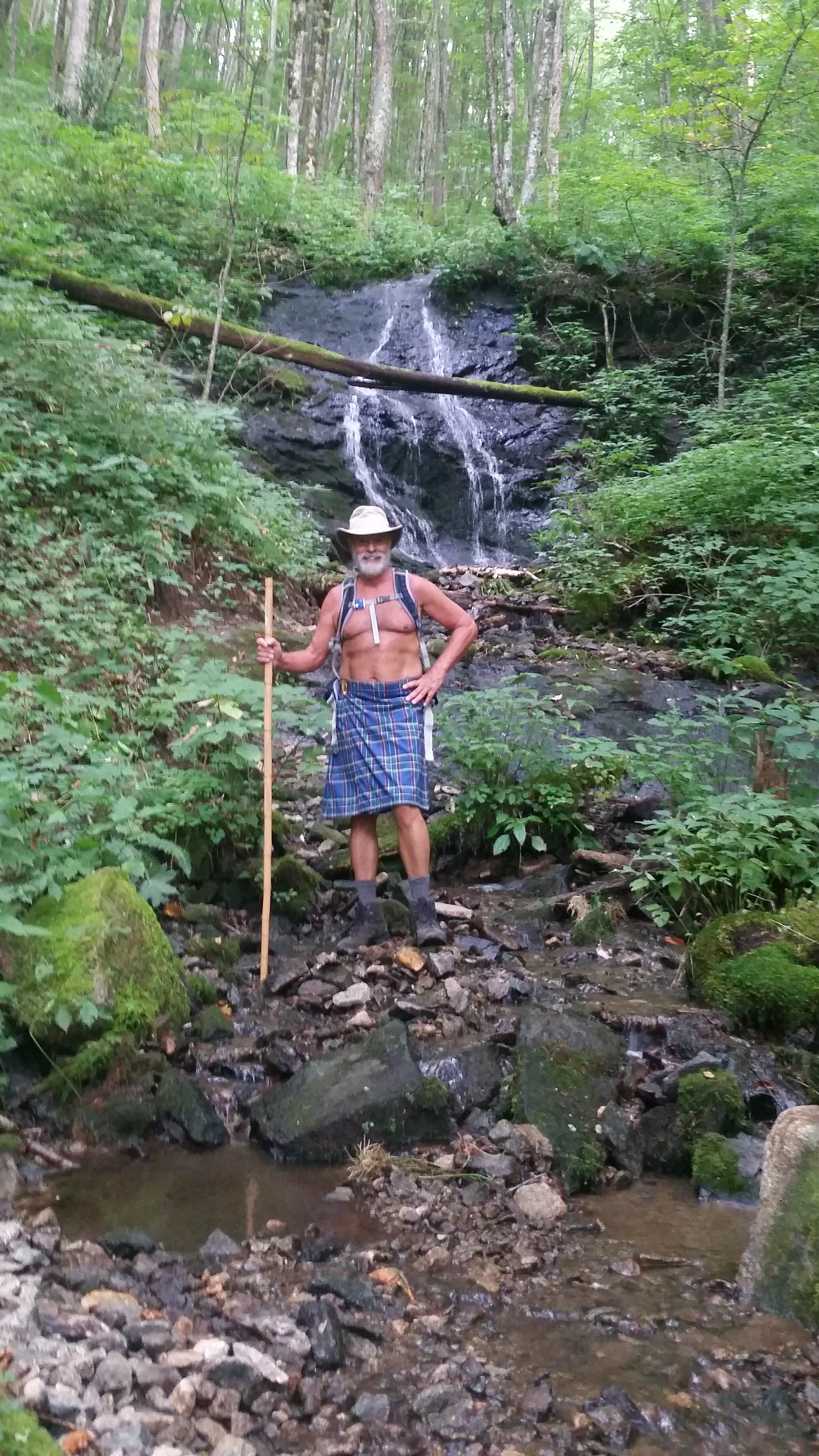
dnaturist
Jacksonville, FL United States
Meeting Time: 9:00 AM
Max # People: 8
Hike Guiding / Event Fee: No, I will not be asking participants for money
Hike Difficulty Level:
Strenuous
(Do you qualify to attend with this hike difficulty rating? Click Here.)
Sign Up To This Trip/Event
You must be a least a guest member to participate. Comments such as "+1" or "bringing a friend" are NOT permitted. All participants must sign-up for the event individually.
Select your mode of transportation, make any comments and then click on button.
You are not logged in.
Please, Log In
Summary
The hike will start at Wiscot Gap and and head towards Lula Head Gap (about 1 mile) and then begin an ascent to the top of Wilscot Mountain. From the top we will start down to Payne Gap (about 3.2 miles from the trailhead). From there we will climb to a ridge line and travel a level trail for about 1/2 mile, then decsend to Skeenah Gap Road about 5.3 miles into the hike. There is a trailhead at this location.
This ascends to the more difficult section of the hike, up to Rhodes Mountain. An 1100 foot gain in elevation. Soon we intersect the Duncan Ridge Trail. The trail ascends again to Licklog Mountain. After traveling down to a gap, we head up to Wallalah Mountain. While traveling down the Wallalah Mountains switchbacks we will come to a rocky outcrop with view to the south.
Near the end of the hike we will cross Little Sheenah Creek before reaching the trailhead.
The Cherokee word for the area is skeinah, which means ghost, devil,or demon.
This is a long strenuous hike. Bring plenty of water.
Directions To Trailhead Parking Lot
The meeting place for this hike will be the Dunkin Donuts Shop in Mineral Bluff, Georgia. It is located at 8200 Appalachian Hwy, (US 76), Mineral Bluff, Ga.
Mineral Bluff, Ga. is located just east of Blue Ridge, Ga. The Dunkin Donuts is located near the intersection of US 76 and Georgia SR 60.
Both of the trailheads for this hike will be located on SR 60.
We will be leaving for the trailheads from the Dunkin Donuts at 9:00 AM sharp. Please arrive there earlier to eat and get instructions.
Trip Leader
 Invite To Be Your Buddy
 Send Email
- Online Status: OFFLINE
- Last Login: 11/02/2023 07:02 PM
- Member Since: 11/12/2013
- Approved By: JPHiker


