

HIKES & EVENTS
Mt. Adams via King's Ravine
Hiking/Walk
DATE: Aug 13, 2017
END DATE: Aug 13, 2017
Hike/Event Location: Gorham NH
Trip Leader(s)
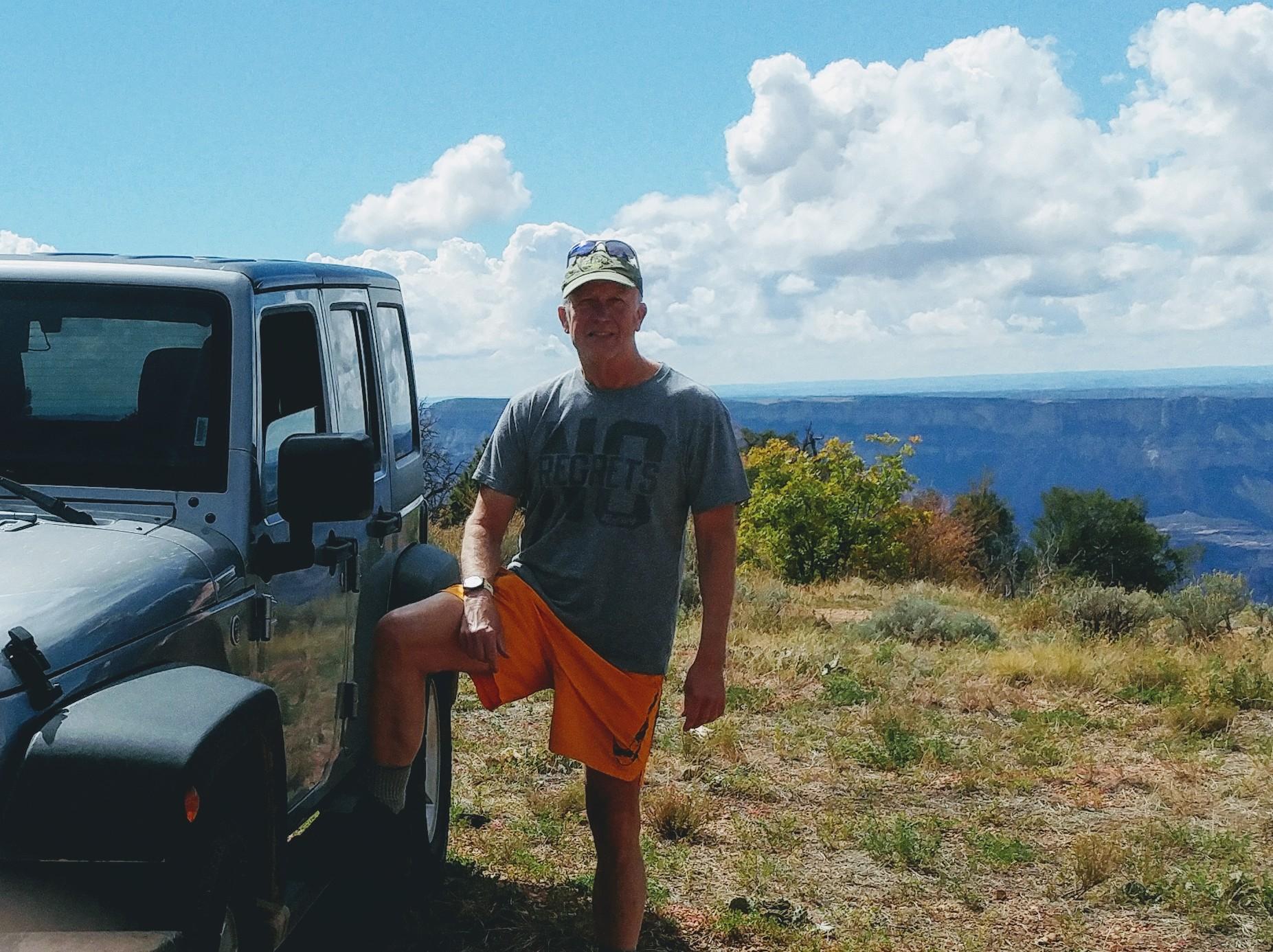
Gandalf
Thornton, NH United States
Meeting Time: 8:00 AM
Max # People: 15
Hike Guiding / Event Fee: No, I will not be asking participants for money
Hike Difficulty Level:
Very Strenuous
(Do you qualify to attend with this hike difficulty rating? Click Here.)
Sign Up To This Trip/Event
You must be a least a guest member to participate. Comments such as "+1" or "bringing a friend" are NOT permitted. All participants must sign-up for the event individually.
Select your mode of transportation, make any comments and then click on button.
You are not logged in.
Please, Log In
Summary
FUN hike on this 5,000 footer in the Presidential Range followed by a swim/BBQ at the Mad River Lodge!
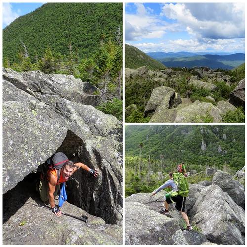
Mt. Adams, [5,799'] is the second highest mountain in Northeast but there is also nothing else second-rate about this ruggedly spectacular mountain! Some say that it's the most interesting of all 4,000 footers. We will ascend through King Ravine, the most spectacular route to Adams, especially combined with a return down Durand Ridge on the Air Line. Traverse of King Ravine involves rough and difficult scrambling over boulders and ledges.
We start using the Short Line up the valley of Cold Brook into lower area of King Ravine reaching the King Ravine Trail at 2.7 miles. The ascent will then become steep and rugged up through the floor of ravine amidst scrub growth and huge boulders, with several fairly challenging scrambles; there are several narrow passages through caves that may make some hikers uncomfortable. After the very steep, rough ascent of the headwall, we’ll follow Air Line 0.6 mile to the summit of Adams.
We’ll descend using the Air Line that provides maximum views with its traverse of the exposed Knife Edge on upper Durand Ridge; the looks into King Ravine are especially dramatic!
Round trip distance: 8.9 miles
Vertical feet: 4,500
Approximate time: 9 hours
What to wear/bring: Wear clothing suitable for the hike in layers...no cotton or blue jeans. Have a rain jacket in the event of inclement weather. Bring along plenty of water (at least 2 liters), lunch, snacks and anything else you may require for a day hike. Contact us if you have any questions.
Boston Area Carpooling: Save money by sharing gas/toll expenses and get to know fellow GO members better! Don't be shy. Contact other Bostonians to find a convenient location for you to meet such as a T-Stop, Commuter Line Stop, or a parking lot of a store familiar to you all! Don't forget to tip the driver!
Afterwards: Everyone is welcome to join us back at our house in Waterville Valley to relax by our fireplace [BYOB and bring snacks] followed by one of Jon's delicious dinners. We ask $10 per person to help pay for our food costs. Showers are available so bring a change of clothing to make your visit with us more comfortable.
Lodging Option: Bunk beds are available at our house [with Wi Fi] near Waterville Valley, NH for Friday and/or Saturday nights. It's $25 for Friday night, $35 for Saturday that includes dinner or $60 for the weekend. Coffee/bagels each morning and linen/blankets/towels are provided. Space is limited so email ASAP to reserve a bunk!
Directions To Trailhead Parking Lot

We will meet at the large parking area at Appalachia, one of the major trailheads in the Whites. It’s located on the south side of US 2, 5.5 miles west of NH 16 in Gorham and 2 miles east of Lowe’s Store in Randolph. We are driving a blue Toyota Tacoma truck.
Trip Leader

 Invite To Be Your Buddy
 Send Email
- Online Status: OFFLINE
- Last Login: 04/17/2024 02:46 PM
- Member Since: 08/20/2001
- Approved By: Gandalf
members signed up for this event
- Online Status: OFFLINE
- Last Login: 04/16/2024 08:45 AM
- Member Since: 10/30/2001
- Online Status: OFFLINE
- Last Login: 04/17/2024 05:54 PM
- Member Since: 02/17/2009
- Driving My Own Car
(Willing to give guys a ride)
- Comment: With two 4Ks left on the list it's time to get this one checked off!
- Online Status: OFFLINE
- Last Login: 10/08/2021 04:34 PM
- Member Since: 03/29/2005
- Driving My Own Car
(Willing to give guys a ride)

- Online Status: OFFLINE
- Last Login: 12/28/2023 10:03 AM
- Member Since: 04/23/2016
- Driving My Own Car
(Willing to give guys a ride)
- Online Status: OFFLINE
- Last Login: 04/19/2024 12:58 PM
- Member Since: 12/16/2008
- Driving My Own Car
(Possibly willing to give guys a ride)
 |
 |
