Trip report
Waterville Valley Scaur and Flume Hike
Full Day Hike DATE: 07/18/2020 - 07/18/2020
Trip/Event Location: Waterville Valley, NH
Trip Leader(s): tdefauw , jkelaghan
Max # People: 7
Trip Guiding / Event Fee: No, I will not be asking participants for money
Difficulty Level: Moderate to Strenuous
Join us for this beautiful hike in Waterville Valley to the Scaur and Flume along lesser used trails. This hike is 8.5 miles long with about 1300 feet of elevation gain, although the last
...From Exit 28 on Rt. 93, drive 10.2 miles northeast on Rt. 49 and turn left onto Tripoli Road (signs for Waterville Valley Ski Area). In 1.2 miles, bear right to avoid the ski area entrance and continue 0.6 miles down Tripoli Road. Turn right onto West Branch Road and immediately bear left into the parking area (Depot Camp).
Trip Report/Photos
Oops, never filed a trip report on this hike of ours 2 weeks ago, but figure would do so belatedly.
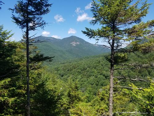
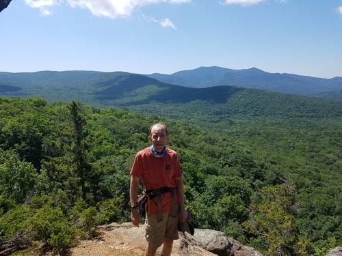
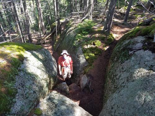
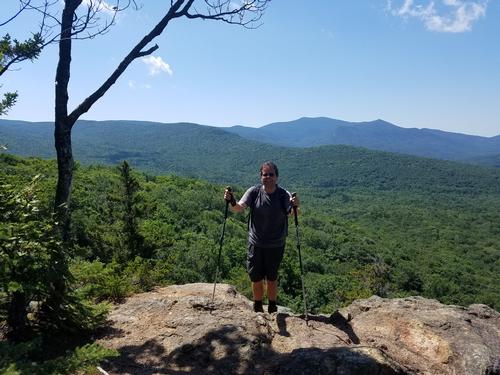
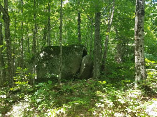
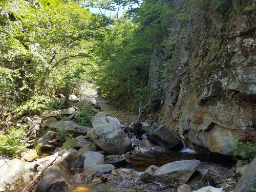
The hike ended up being just Joe and I, but it was a beautiful day for a walk, and we always enjoy this hike as the trails are lesser used. We also forgot what a beautiful view it is from the Scaur, and also another lookout before the flume. The flume was a pleasant place to sit and have lunch, and then we continued onto the intersection with Livermore Trail/ Road, from where it was an easy 4.6 mile walk back. We look forward to posting this again, maybe in September.
There are 6 photos in Album (Note: Move mouse pointer over larger pic and click on NEXT for better viewing)

|
|
||