Trip report
South River Falls Hike
Hiking/Walk DATE: 10/15/2017 - 10/15/2017
Trip/Event Location: Shenandoah NP, VA
US
Trip Leader(s): TrailGuyEric
Max # People: 15
Trip Guiding / Event Fee: No, I will not be asking participants for money
Difficulty Level: Moderate
https://virginiatrailguide.com/2009/11/30/south-river-falls/
https://www.nps.gov/shen/south-river-falls.htm
Meet at 9 a.m. for a relatively easy hike of 5.5 miles which should take about 4 hours
...From Skyline Drive, follow the drive to the South River Picnic Area (near mile marker 62). The trailhead is located at the back end of the picnic grounds, across from the restroom facilities. See attached map
Trip Report/Photos
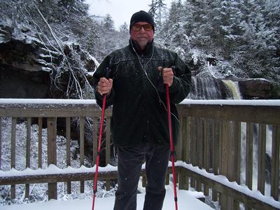
This is a great, relatively short hike for a Sunday morning for someone who likes a moderately easy hike and it was with a total time down and back up of about 2 hours for a total of 2.6 miles
We arrived at the parking/overlook area around 1010, and found the South River Falls Trail trailhead just beyond the comfort station and water fountain. We walked down the South River Falls Trail and decided to continue down it instead of taking the Fire Road since the South River Falls Trail follows the river for half of the way down to the falls. The first thing one notices is how relatively young the forest is with very few big trees, and lots of trees that appear ~20 years old. The South River (more like a stream) flows through very rocky areas but have enough soil to sustain a very thick population of ferns—more so than other rivers. This day we soon hit a light misty fog in the “hollow” which was stuck in pockets while the warm sun tried to burn it off. We crossed a rock pile where a small trickling stream was flowing—mostly hidden but clearly audible. We continued on and soon could hear several waterfalls before hearing the bigger South River Falls as the trail passed, high above. This is one of the few places where there are 200’ sheer drops of the hillside, so caution is advised if you step off the trail for a closer look.
We arrived at the stone wall observation point and had a good rest and snack. We opted out of taking the South River Falls fire road down to the base of the falls since it requires a 1.5 mile hike down and back with parts of it on wet, slippery leaf-covered rocks which didn’t go so well the day before for one of us!! So we threw caution to the wind and headed back up the trail as the temperature rose making the hike quite a bit warmer on the way up than on the way down. We got back to the parking lot a little after 12 noon. It was a great weekend with two great hikes and two nights of camping.
There are 4 photos in Album (Note: Move mouse pointer over larger pic and click on NEXT for better viewing)


|
|
||