Trip report
South and Middle Moat Hike
Hiking/Walk DATE: 04/08/2017 - 04/08/2017
Trip/Event Location: Conway, NH
US
Trip Leader(s): Gandalf
Max # People: 15
Trip Guiding / Event Fee: No, I will not be asking participants for money
Difficulty Level: Moderate to Strenuous
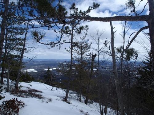
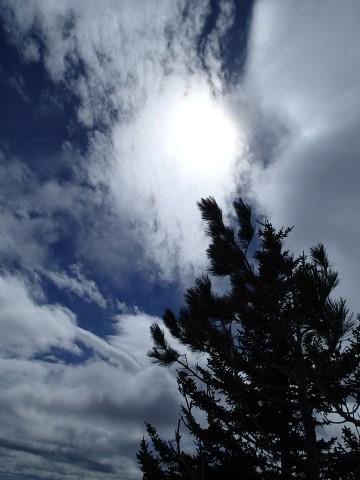
At 2,749 feet, South Moat Mountain is not the highest of mountains. Yet, it does offer some of the most incredible views we’ve ever seen. A top-of-the-world feeling and an unobstructed
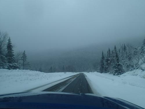
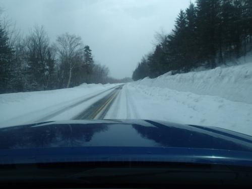
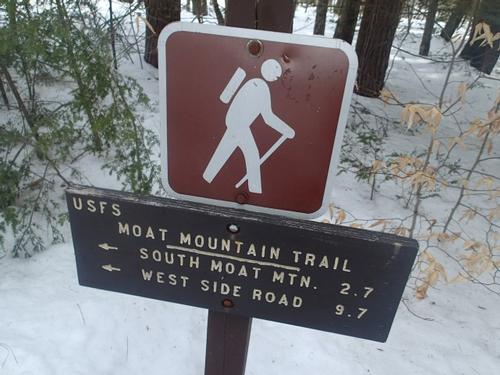
...Drive to the center of Conway, NH on Route 16. At the lights, take a left on West Side Road. Travel about .7 miles to Still Road on the left. Take that road for .6 miles to the intersection of Passaconoway Road. Then, drive 2.2 miles south to the trailhead on the right. We'll be driving a blue Toyota Tacoma truck.
Trip Report/Photos
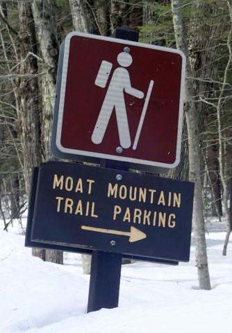
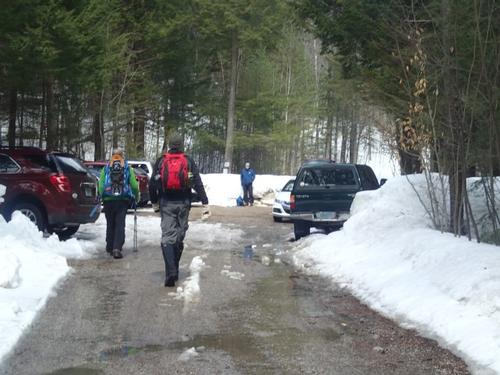
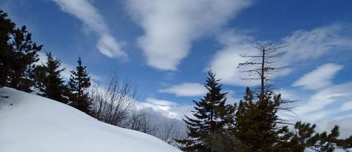
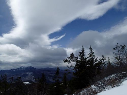
We drove through a snow squalls on the Kancamagus Highway and were amazed how high the snowbanks still are on both sided! As we drove closer to Conway the skies cleared and snatched glances at the Moat Mountains. We found myself making our way slowly down Passaconaway Road making sure we didn’t miss the trailhead. We found the parking area well-plowed but full; so we had to park on the road alongside ten other vehicles. The weather was cooperative; 40 degrees, partly cloudy skies and only a subtle breeze.
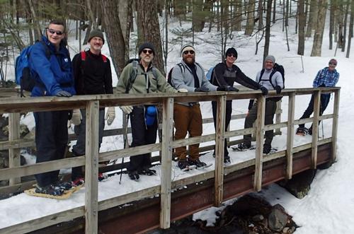
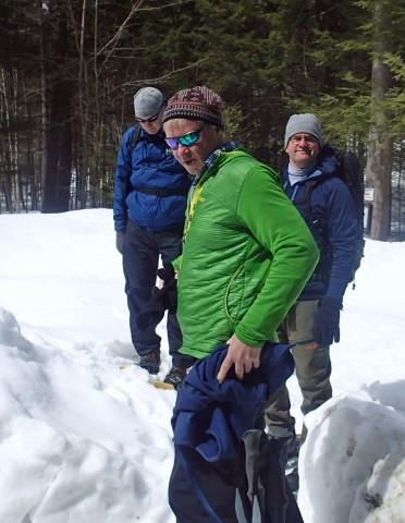
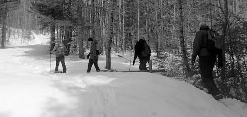
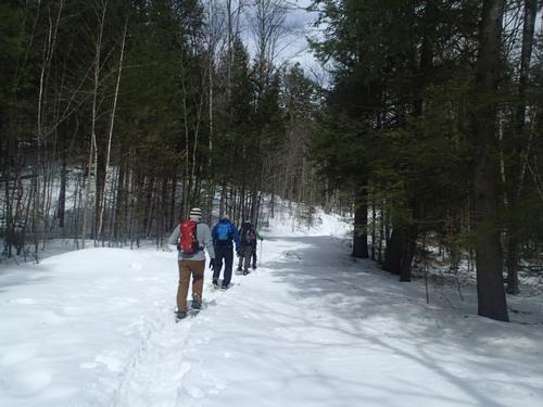
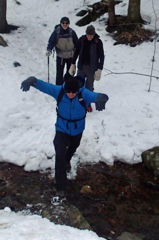
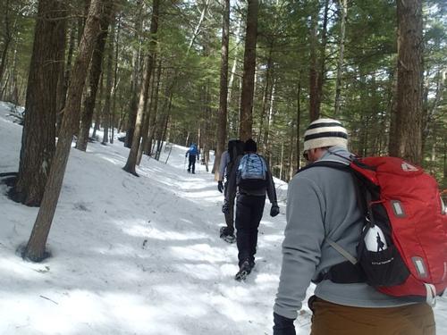
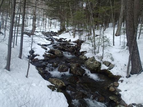
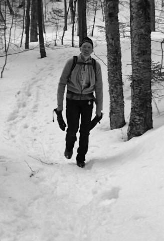
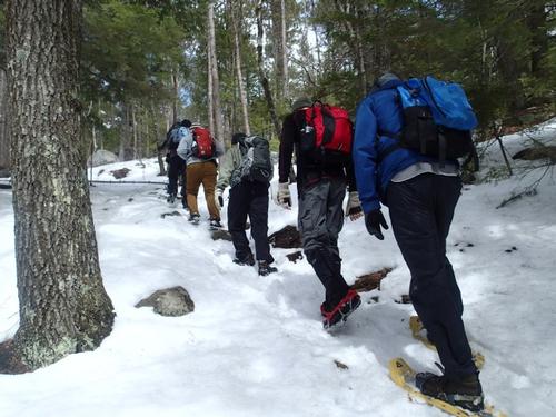
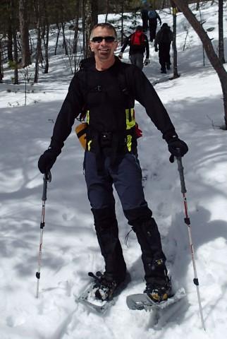
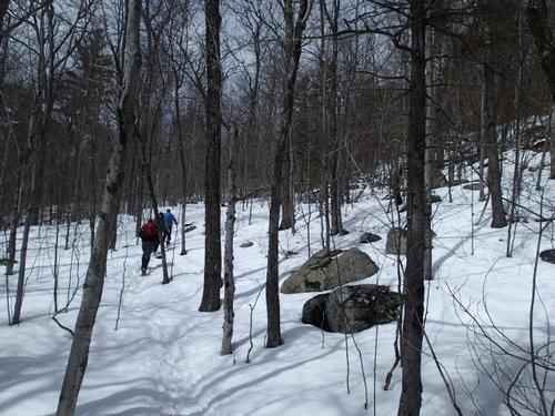
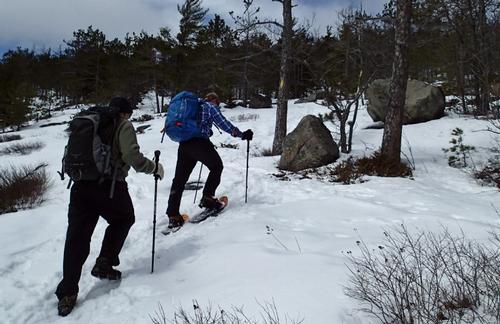
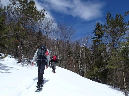
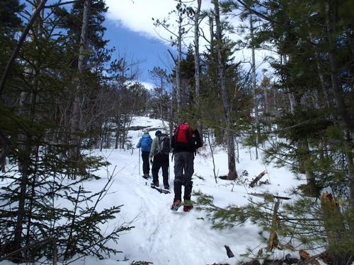
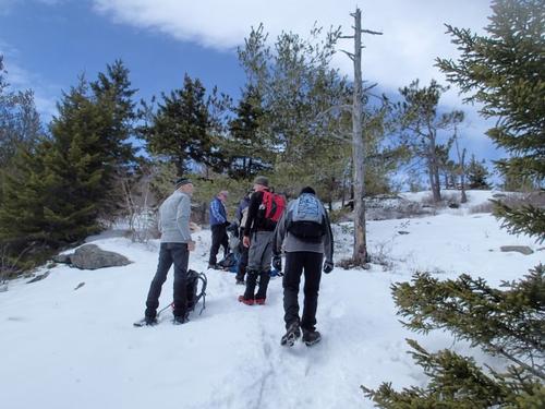
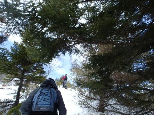
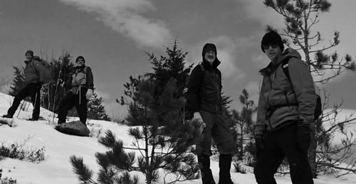
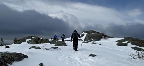
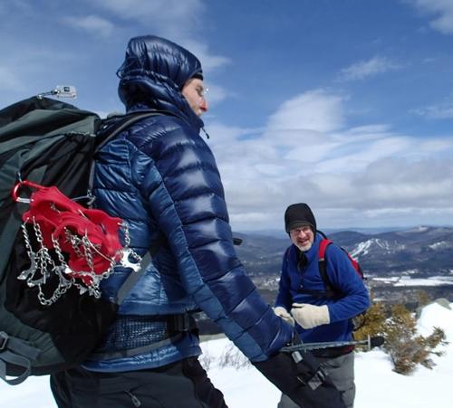
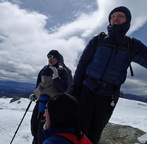
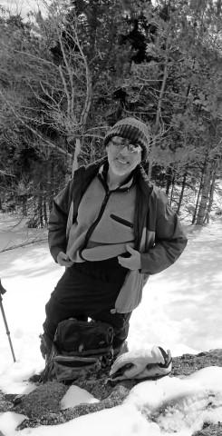
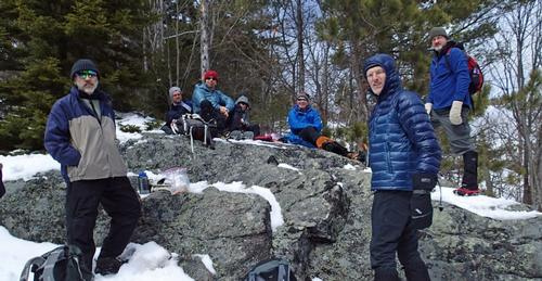
We met everyone and organized our gear. Most of us put snowshoes on while a few decided to use MicroSpikes. The trail wound through some young trees and dipped down to cross a small brook and again at a small bridge over Dry Brook. This early portion of the trail the snow was already soft and as we warmed up we quickly shed a few layers.
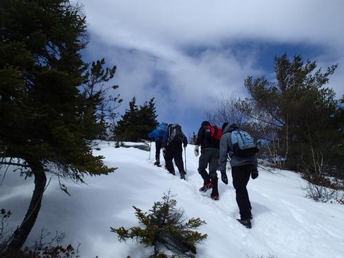
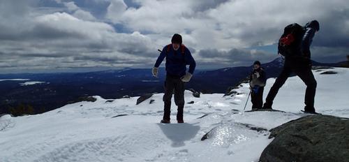
Soon after the Dry Brook crossing the trail began to climb and we found ourselves stopping to catch our breath and let our pulse slow down. Ascending with the weight of snowshoes on our feet was definitely more tiring than hiking in the other three seasons. The trail continued to be decently packed but soon hit a steep and rocky ascent. It was difficult to navigate the rocks with bulky snowshoes but we were thankful for the traction that their crampons gave us. We stepped off the trail as group of almost ten folks made their way down and assured us the view was well worth it.
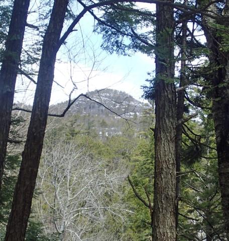
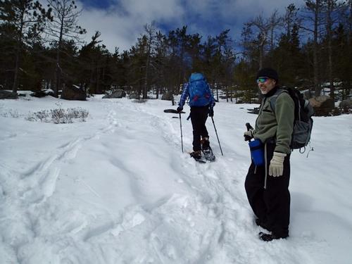
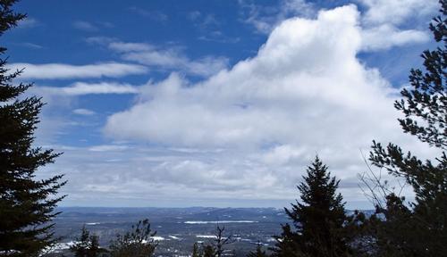
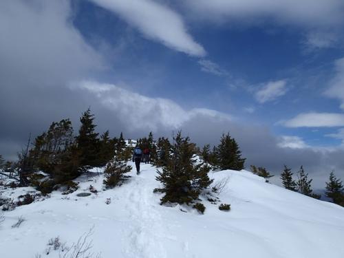
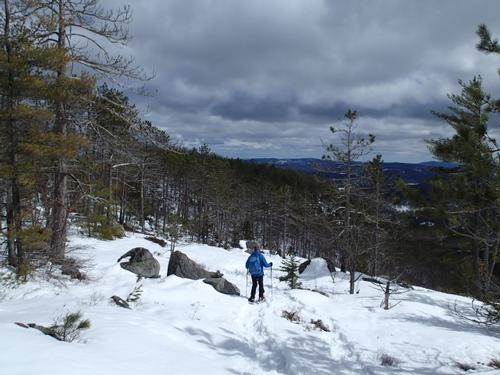
Just as we were starting to feel as if the mountain had us beat, we ascended to an amazing vista of Mount Chocorua. We stopped and marveled at the view in front of us. It was just what we needed: time to cool down. The trail to the summit changed again at this point, it became less steep and the trees spread out. From posts I had read it sounded like it was easy to lose the trail at this point in winter but it was no problem to follow when the trail was already broken.
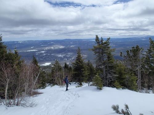
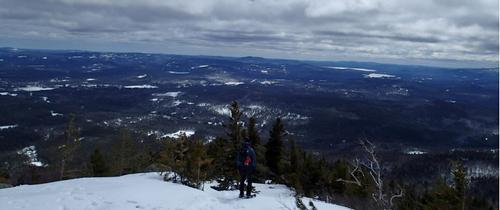
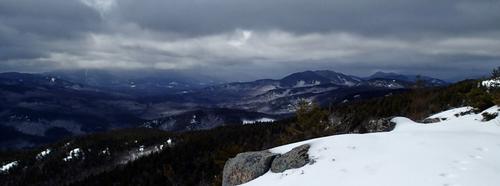
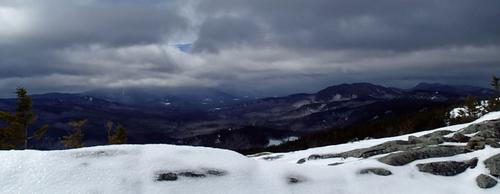
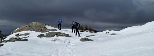
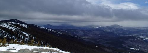
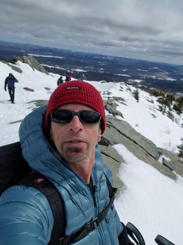
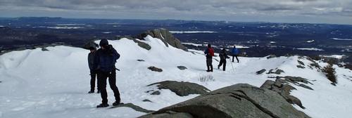
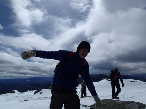
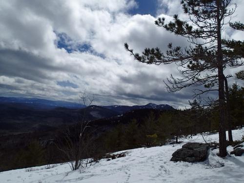
The climb to the summit was not as intense as the prior climb to the vista of Mount Chocorua. There was a false summit a quarter of a mile from the summit and the trail was fairly level at that point. We were welcomed to the summit with 360° views with Conway valley to the east, Lake Winnipesaukee to the south, Mount Chocorua to the south west and the Moat range pointing to the Presidentials to the north.
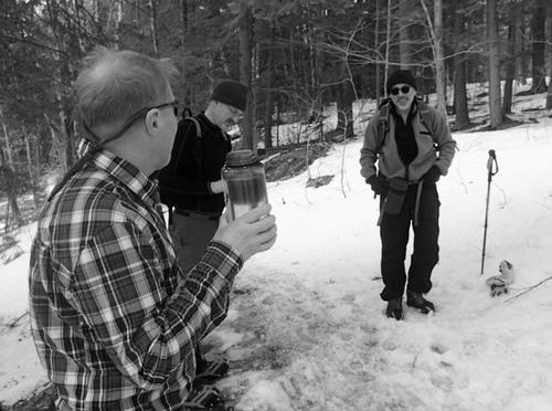
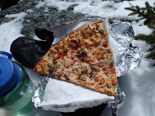
Winds were gusty and almost knocked me over twice so we did not stay up top for very long. It was so windy we decided not to continue to Middle Moat. We decided to find a sheltered spot from the wind to have lunch.
The rest of the hike to the parking lot was uneventful. Going down in snowshoes took us about half the time, as we had gravity on our side. This is one of our favorite half-day hikes in the Whites any time of year!
When we got back to parking lot we bid our goodbyes until next time.
After climbing a great hill, one only finds that there are many more hills to climb.
~Nelson Mandela
Trip Report by Mike Boisvert
Pictures by Jon Normand
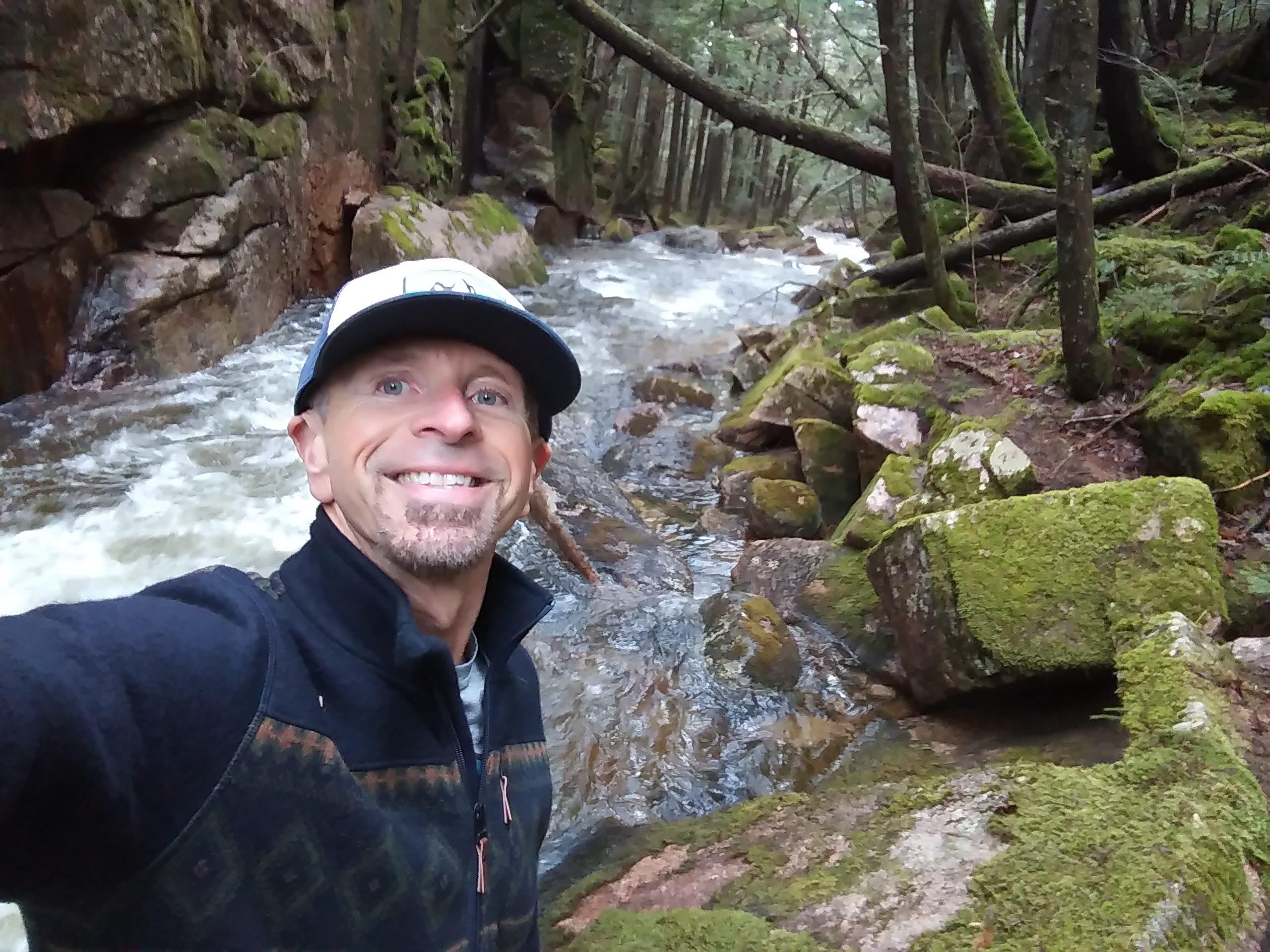
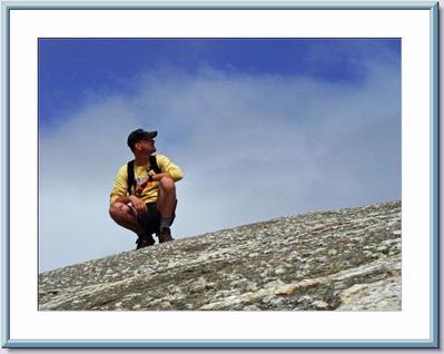
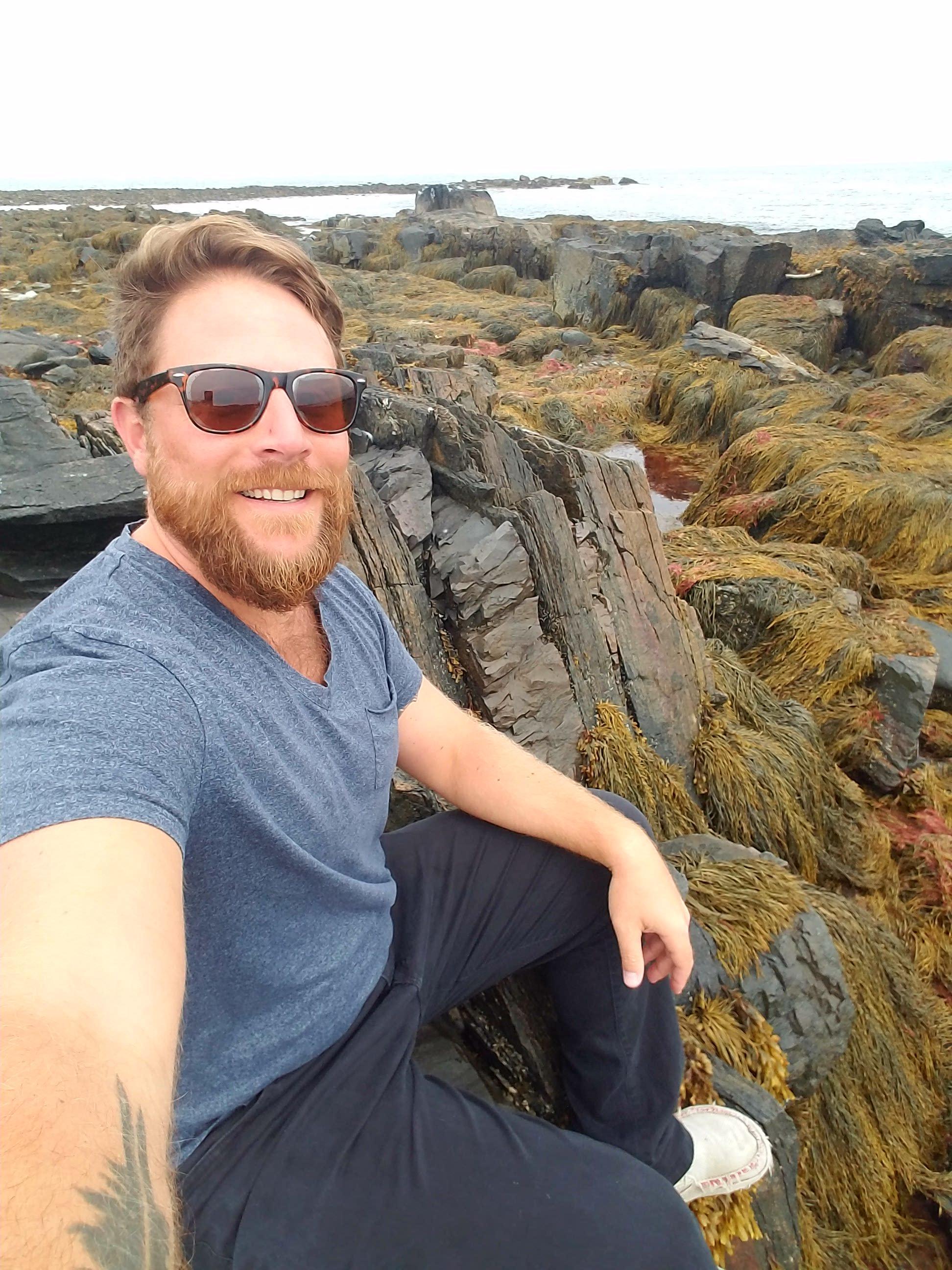
There are 63 photos in Album (Note: Move mouse pointer over larger pic and click on NEXT for better viewing)


|
|
||