Trip report
Dry River Wilderness Backpack
Backpacking DATE: 07/30/2016 - 07/31/2016
Trip/Event Location: Bartlett, NH
US
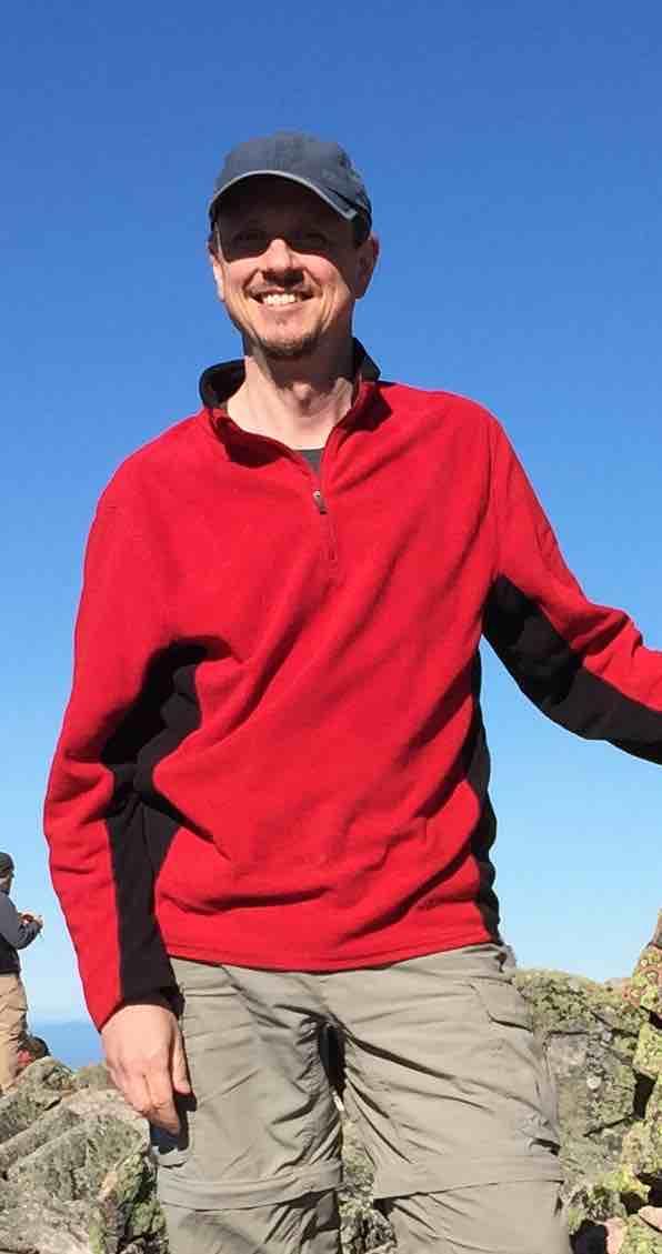
Trip Leader(s): shep5
Max # People: 6
Trip Guiding / Event Fee: No, I will not be asking participants for money
Difficulty Level: Strenuous
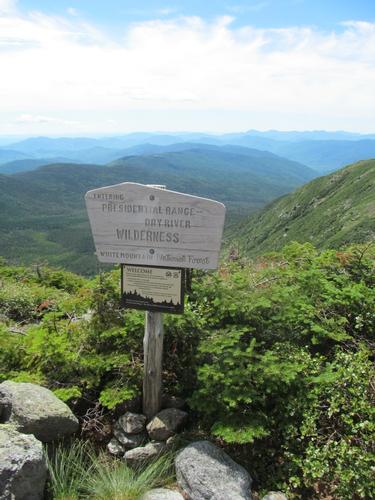
Please join me for an exciting backcountry experience into the primative Dry River Wilderness. On Saturday we will hike up the Dry River Trail and ascend Mt. Isolation from the west. Mount
...The trailhead parking is a small pull-off, which affords roadside parking for a few cars on the east side of US Rt. 302, 0.3 miles north of the Dry River Campground. This is approximately 13.8 miles heading east from the intersection of Routes 3 and 302 in Twin Mountain. It is also approximately 15.3 miles heading west from the intersection of Routes 16 and 302 in Intervale.
For GPS Users: 44.158742, -71.365003 (Crawford Notch Road/Route 302, Bartlett, NH)
Trip Report/Photos
FRIDAY, JULY 29th
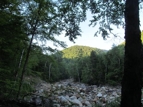
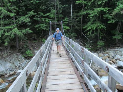
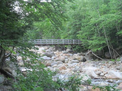
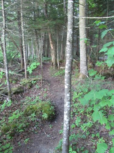
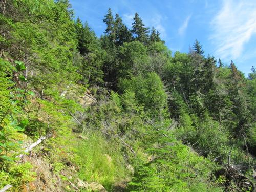
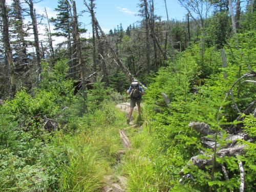
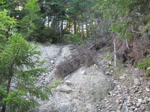
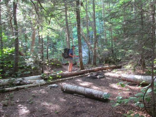
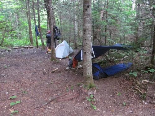
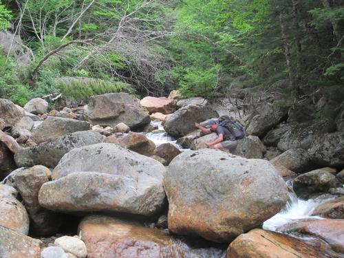
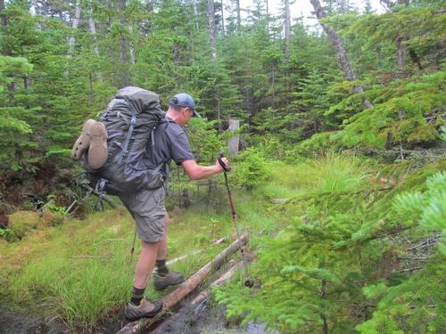
Since noone other than Martin and I had signed up for the backpack, we decided to start Friday evening. We met up at 6:30PM at the Dry River Trailhead on Route 302 in Crawford Notch. After quickly getting ready we headed up the trail. It was warm and sunny out. For the first 20 minutes or so, the trail was fairly flat as it headed up into the wilderness. At just before 7PM we had reached the boundry of the Dry River Wilderness and this also coincided with the trail meeting up with the river. The river and its banks had been severely eroded from Hurricane Irene and at several points the trail climbed high on the bank to avoid these washed-out areas. At 7:15 we reached a spot with a beautiful view up the wilderness to Mts. Monroe and Washington and in an additional 5 minutes we had made it to the suspension bridge. We crossed the bridge to the eastern shore and we proceeded north along the river. We were looking for a nice spot to camp and by just before 8PM, we found our site for the night. This was in a small clearing right along the river. We immediately set up camp, hung our bear bags and then settled in to make our dinners. By a little before 10PM we turned in for the night with the sound of the river lulling us to sleep.
Mileage and elevation gain: Approximately 2.7 miles and 600 feet in elevation gain.
SATURDAY, JULY 30th
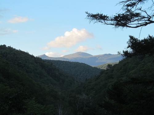
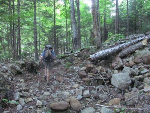
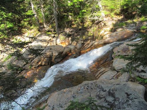
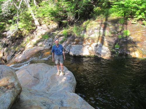
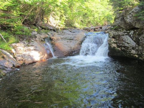
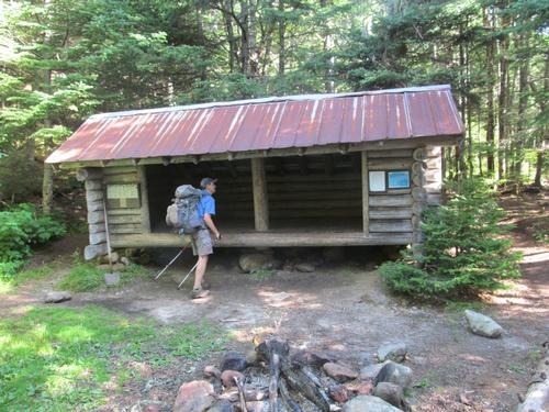
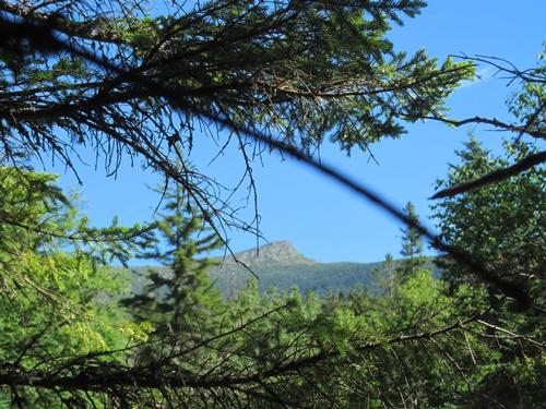
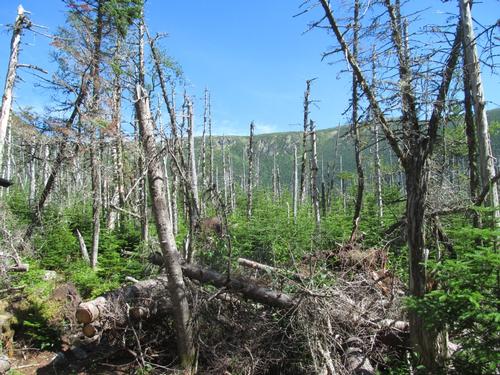
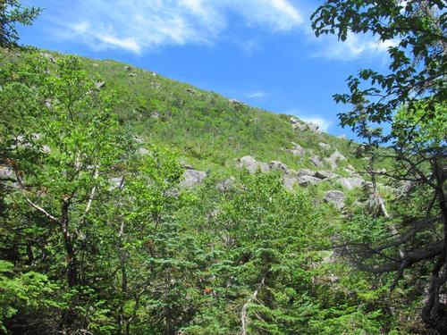
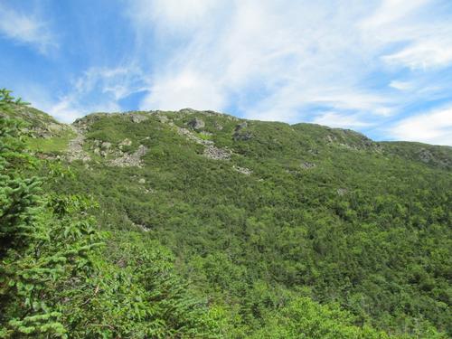
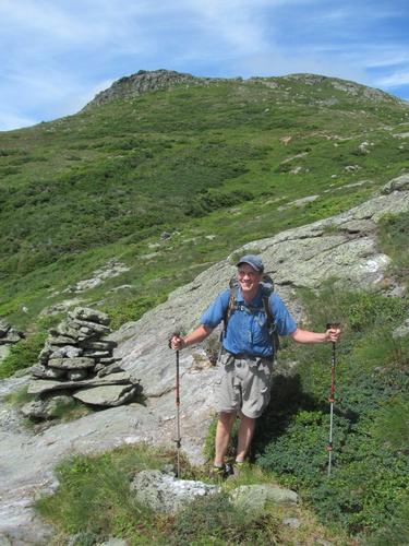
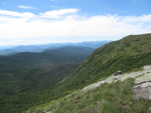
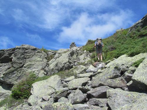
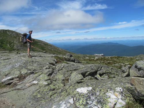
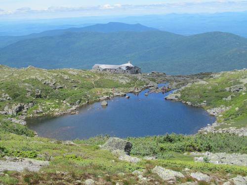
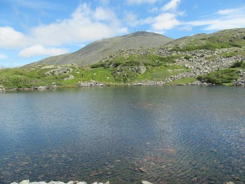
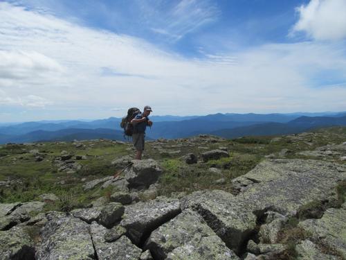
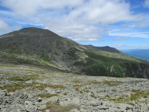
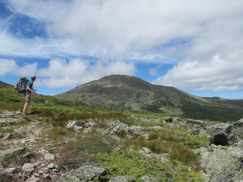
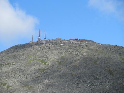
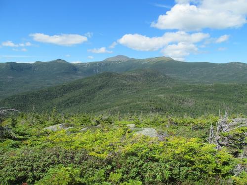
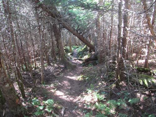
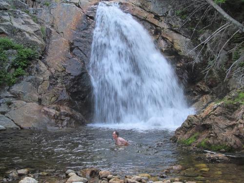
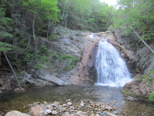
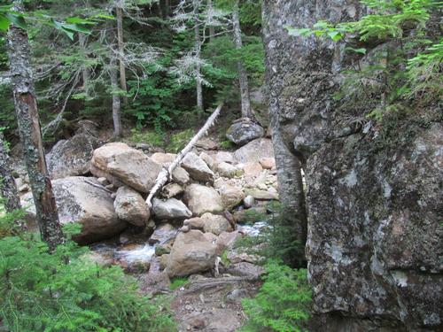
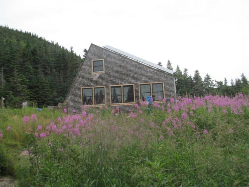
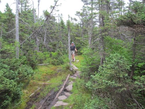
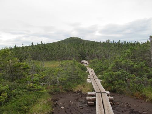
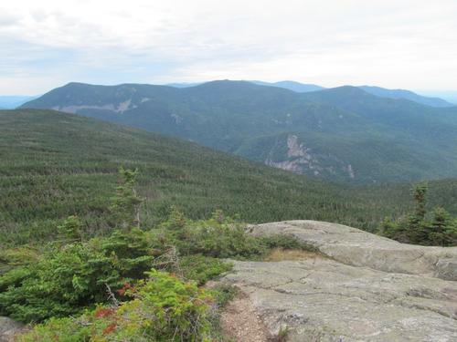
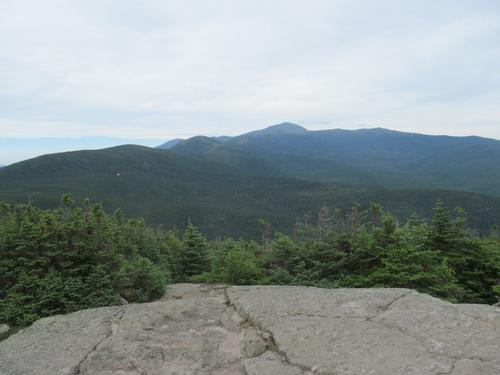
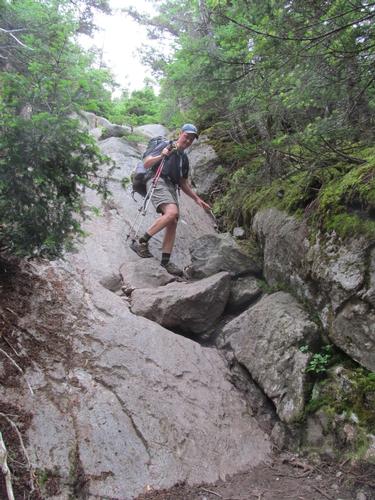
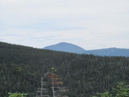
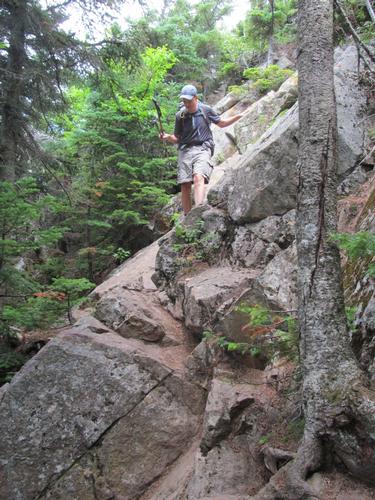
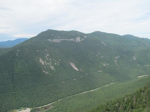
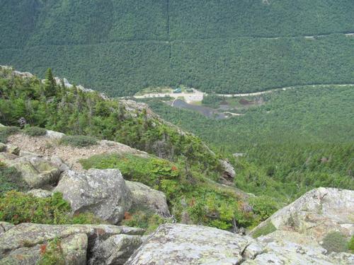
We awoke to a beautiful morning at around 5:30AM. We got our breakfasts and broke camp. Since we had started the backpack early, we discussed how to make the backpack a little longer to fill the day. We decided our plan would be to take the Dry River Trail all the way up to the Lake of the Clouds and then circle back around to Mt. Isolation via Boott Spur(rather than the original plan of going out and back along the Isolation Trail). So, just after 7AM we headed further up the trail. It was only 5 minutes before we reached the trail junction with the Mt. Clinton Trail. We continued to follow the river along the Wild River Trail. Again, in spots the trail climbed up the bank to avoid the more eroded areas. Despite the damage that this trail had encountered, it was in good shape and easy to follow. At 8:15 we passed the junction with the Isolation Trail. It was just past this junction, that there was a marked camp site (this was one of the sites that I had read about). In another 5 minutes we had reached the junction for the Mt. Eisenhower Trail, and at 8:30 we reached the Dry River Falls. We could hear it and after an easy bushwhack off the trail through mostly open woods, we were at the top of the falls with a very nice pool. From here there was a path further down the bank with a view of the middle cascades of the falls. At this time we didn't venture further down to see the largest drop at the bottom, since we thought it would be nice to return to this spot to spend the night. Venturing further up the wilderness, we climbed an open bank before descending back to the river where Dry River Shelter #3 was. This lean-to was in really good shape. We seached for the trail from here and after taking several herd paths leading from the lean-to, we finally found the correct path marked with a cairn as it crossed a small part of the river. After this spot the trail pretty much left the river bank and began to climb at a modest grade up through the woods...at times dense and dark and other times thin and sunny. At 10AM we reached sections of woods with alot of dead trees but with some limited views of the ridgelines above. In 20 minutes we decided to take a snack break at a spot in the woods where we could easily sit down. After this point we were getting views through the trees of the headwall of Oakes Gulf. It was quite impressive with its shear rocky cliffs. From this point we began to climb a little more aggressively along the rocky shoulder of Mt. Monroe. Along the way we happened upon a spring, so we could refill our water. We continued along the trail as the views of the boulder field opened up and by a little after 11AM we climbed up to a ledge with a wonderful view, which looked down the entire Dry River Wilderness. From here the woods thinned out and we had persistent views of the headwall, which we still had to climb. Surprisingly, the path up turned out to be relatively easy as it wound it way up these cliffs. We reached the top of this by 11:45. We were greeted with clear views of Mt. Washington, Mt. Monroe and the wilderness below. It took us another 10 minutes to hike to the Lake of the Clouds Hut, where we briefly stopped to re-fill our water and to take a break. With such a beautiful day, it was incredibly crowded...along with folks just relaxing by the lake.
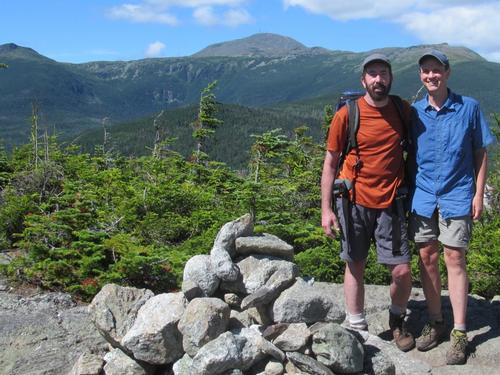
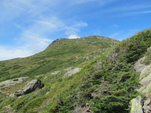
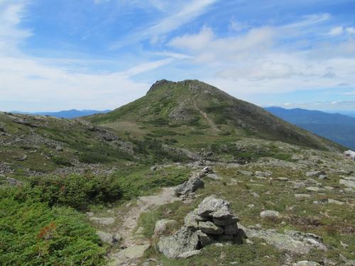
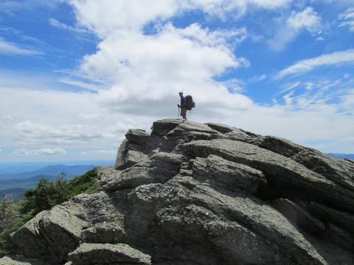
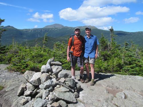
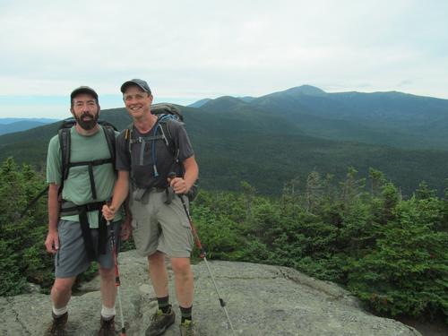
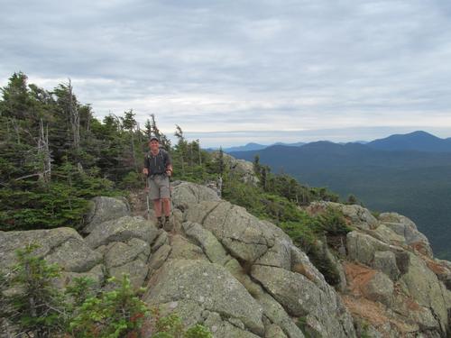
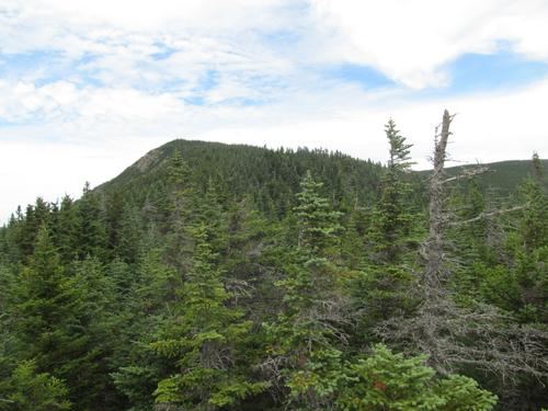
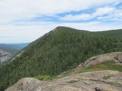
After about 10 minutes we headed out to join the Camel Trail on our way to the Davis Path. Admittedly, it was hard being this close to Mts. Monroe and Washington and not climb them, but we still has a long way to go! Since it was crowded at the hut we choose a spot along this trail to have our lunch. This was at about 12:35PM. We spent about 15 minutes and having re-charged we continued on...turning onto the Davis Path at 1:10. Over on the eastern side of the ridge there were more hikers and great views of the ravines and over to the Carters and Wildcats. At 1:30 we took a short detour to climb Boott Spur and then we continued descending along the Davis Path. After this point we didn't see any hikers again for awhile. The path continued above treeline until about 2PM, when it finally began to climb back into the woods. Along this section we passed the trail junctions for the Isolation Trail (West and East) and there were periodic, limited views through the trees. We did see a number of hikers as we closed in on Mt. Isolation and by just after 3PM we had reached the spur trail junction for the summit. It only took a few minutes to climb to Mt. Isolation's summit (4003'). We met up with 7 other hikers up here relaxing, many of whom were close to finishing their peak list (Isolation is usually left as one of the last peaks due to its remoteness). We took a cookie break and enjoyed the magnificent views of Mt. Washington and the wilderness below. This was one of the clearest and best views that I've had on this summit, so it was incredibly nice.
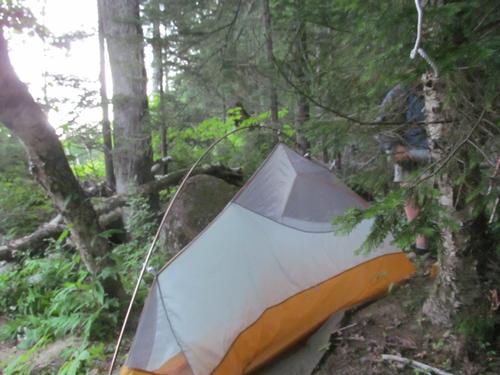
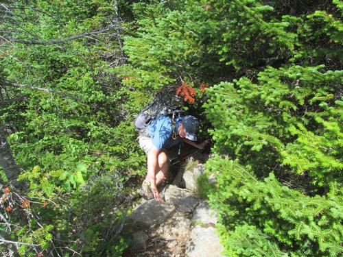
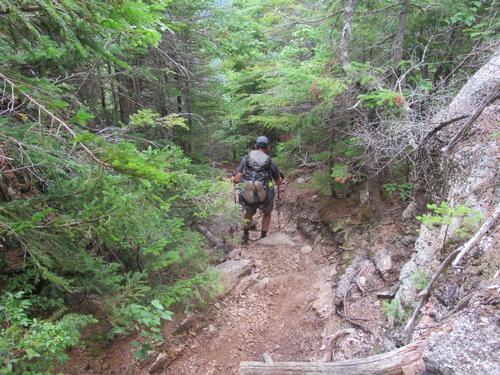
By 3:35 we decided to return by re-tracing our steps back the Isolation West Trail, which we reached again by 4:15PM. From here we descended this trail back into the Dry River Wilderness. Even though this trail probably doesn't see much use, it was in remarkable condition and it proceeded with a modest grade for the most part. There were a couple of spots where there were a few downed trees and towards the bottom there were a few severely eroded banks (where it paralleled a small brook). It was near the bottom that we ran across a guy, who was trail running. He was the first person, we had seen down in the wilderness area. At around 5:25 we reached the Dry River Trail again and since we had time...and a little extra strength, we headed back up the trail to camp out at the Dry River Falls. This only took us about 15 minutes to reach. There was an unofficial campsite in an open, flat area just off the trail and above the bottom of the waterfall. This was a great site with views down onto the falls and we had it to ourselves! This section of the falls was spectacular (we had visited the upper sections in the morning, but this portion was more impressive with its large drop). We pretty much immediately threw our gear down and headed down to falls to clean up and re-fill our water. Man, was the water cold...so cold it almost hurt, but we both went in...very briefly to rinse all the sweat off of us. Afterwards, we set up camp, relaxed a bit and then prepared our dinners. We were both pretty tired, so we turned in around 9PM.
Mileage and elevation gain: Approximately 16.9 miles and 4260 feet in elevation gain.
SUNDAY, JULY 31th
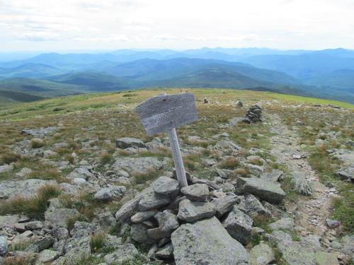
Around 6:30AM we awoke to a slightly overcast sky. We broke camp, got our breakfasts and were on the trail again by 7:30AM. We only had a short distance to walk back down the trail to reach the junction with the Mt. Eisenhower Trail. This trail descended to the river and immediately crossed it. The trail then climbed the opposite bank and by 8AM we were at the junction with the Dry River Cutoff. We turned onto this trail. The trail descended again and crossed a couple of smaller brooks, as the trail meandered through the woods. The second crossing was one of the few areas, where the trail was not immediately obvious as we crossed. We eventually noticed the small cairns, which noted the trail as it jogged back into the woods just a little further down the brook (this part of the trail was probably damaged during Hurricane Irene, as well). After this point the trail began to climb at a modest grade through some thinly wooded areas. There were a few spots along the trail where it was very muddy though. Closer to the top we ran across two French Canadians, who were descending the trail on their way over to Isolation (from Mizpah). We chatted a bit, as they were wondering about the trail conditions and then we proceeded. The trail steepened within the forest protection area just prior to the Mizpah Hut, which we reached by around 9:05AM. There were quite a few hikers outside getting ready to start their days, but inside it was virtually empty. We took a short break here. While there, we could see the top of Mt. Jackson through the window, so the clouds were high enough, where we would hopefully get some views.
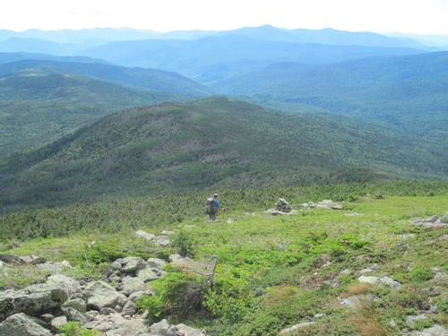
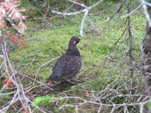
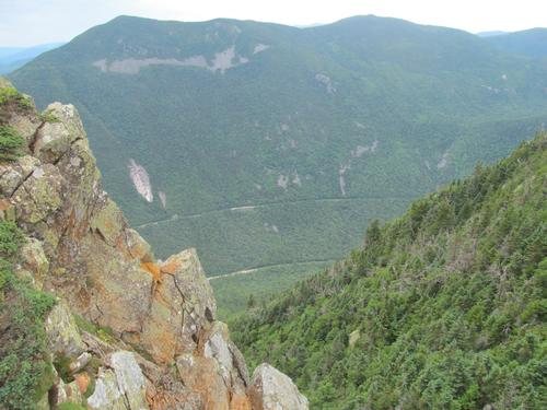
At 9:20 we headed back out and turned onto the Webster Cliff Trail in the direction of Mt. Jackson. This was a nice trail, as it wandered its way over toward the peak. It popped out of the woods and into a couple of open bogs by about 9:50. There was a nice view in front of us of the mountain and it was near this point that we ran into a gousse (we had seen one the day before, but that one was more timid). In about 10 minutes the trail steeped significantly as it climbed up the final segment of the peak and by 10:07AM, we were standing on the summit of Mt. Jackson (4052') with its nearly panoramic views. Even though it was still overcast, Mt. Washington and the rest of the southern Presidentials were visible, along with the Willey Range to our south. We took another break on the summit and after awhile we started the steep, rocky descent off of the summit towards Mt. Webster. It only took us approximately 35 minutes to reach the summit of Mt. Webster (3910') with its dramatic cliffs and the sheer drop into Crawford Notch. We stayed here for only a brief time and then continued to make our way down the Webster Cliff. The clouds were beginning to break up to reveal some blue skies. It was nice, since there were lots of views along the cliff, as we descended the trail. We reached the large cairn at the end of the ridge by 11:30 and we took an early lunch break (we had the area to ourselves). Unfortunately, as we sat here the black flies were starting to bite, which was surprising, since we hadn't seen any bugs all weekend. We decided to press on as the trail re-entered the woods shortly after this spot and began an aggressive and very rocky descent. We reached the Saco River Trail at 1PM and turned onto this to take us back to the Dry River Trail. This trail was fine as it mostly meandered at a fairly level grade through the woods for 1.5 miles. We arrived at the junction with the Dry River Trail by 1:45 and by just before 2 we were back at our cars.
Mileage and elevation gain: Approximately 11.3 miles and 1780 feet in elevation gain.
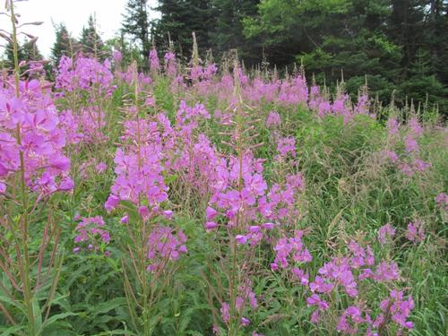
What an amazing backpack and a spectacular wilderness! Thanks to Martin for sharing this adventure! This was indeed a special and very remote trip into a wilderness that doesn't see much foot traffic. After being closed for several years with the damage that Hurricane Irene caused, it was in pretty good shape and well worth the trip...especially if you want to get away from the crowds present in the rest of the White Mountains. The views along the river and up to the ridges above, along with the spectacular Dry River Falls and Oakes Gulf with its dramatic headwall all contributed to making this a great backpack...along with the wonderful companionship!
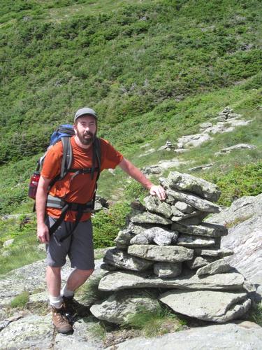
There are 74 photos in Album (Note: Move mouse pointer over larger pic and click on NEXT for better viewing)


What Members Are Saying About This Trip/Event
- What an awesome weekend. The beauty of the Whites off the beaten path blew me away. Thanks for leading this trip and all the good conversations making this a memorable event. - wildcat
|
|
||