Trip report
Waterfalls in Shenandoah
Hiking/Walk DATE: 07/11/2015 - 07/11/2015
Trip/Event Location: Syria, VA
US
Trip Leader(s): TrailGuyEric
Max # People: 15
Trip Guiding / Event Fee: No, I will not be asking participants for money
Difficulty Level: Moderate
This is a moderate 4 mile hike up White Oak Canyon and back. These are good trails although there are some steep sections. Due to the recent rains, the falls should be pretty full and although the
...We’ll meet at the White Oak Canyon trail head, which is west of Etlan, VA and WNW of Syria, VA. (This is NOT the White Oak Canyon trail that is accessible from Skyline Drive!) We will be at the other end of the trail.
If you are coming from Richmond, Norfolk, Roanoke, and other places south, head towards Syria, VA
- Turn off of 670 (Old Blue Ridge Turnpike) and onto VA 643. (If you blink, you'll miss it!!)
- Keep on VA 643 until it turns right and becomes Etlan Road. Instead GO STRAIGHT onto VA 600 Weakley Hollow Road (VA 600) head Northwest up VA 600/Weakley Hallow Road towards the Shenandoah Park parking Lot (Brown sign, on your left a few miles up.).
If you are coming from DC, Northern VA, etc, then head towards Etlan, VA (South of Sperryville; West of Culpeper)
Turn off VA 231 (right) onto VA 643, Etlan Road and head West. Continue several miles on until you hit VA 600 Weakley Hollow Road and turn RIGHT. Head NW up VA 600/Weakley Hallow Road towards the Shenandoah Park parking Lot (Brown sign, on your left a few miles up.).
Map of White Oak Canyon Parking and directions can be found at
http://www.nps.gov/shen/planyourvisit/upload/whiteoak_canyon_area.pdf
Trip Report/Photos
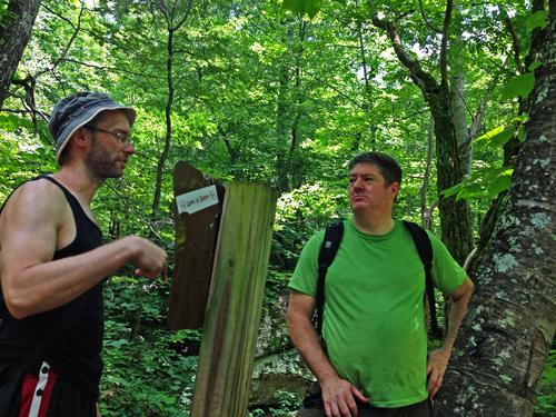
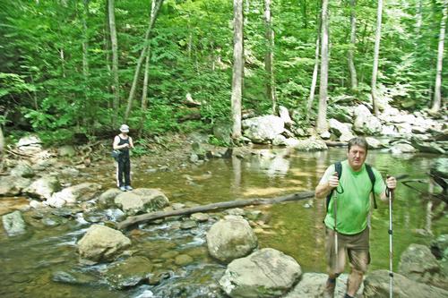
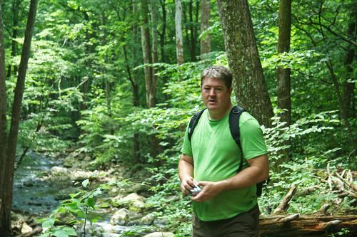
We arrived at the trailhead around 1030, got our stuff together and headed up the trailhead
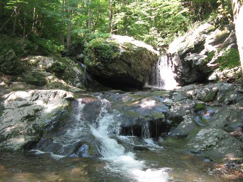
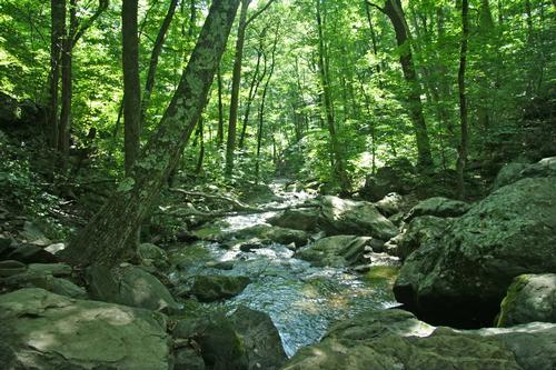
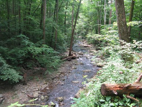
northwest towards the Cedar Run and White Oak Canyon trail split. We took a left onto the Cedar
Run Falls Trail and headed southwest along a rocky mountain stream with pools and waterfalls
(“1” on the map).
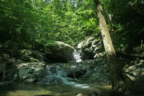
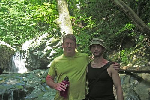
After 20 minutes of mostly moderate hiking-except for a little steep section that challenged us-we
got to a nice large pool & waterfall and took a water break. Due to the cold water the
surrounding air was noticeably nice and cool and so a great place to take a break. We rested a
bet and then we headed back down the trail we just came up to get to the Cedar Run Link Trail
and headed NNE towards White Oak Canyon Trail (“2” on the map).
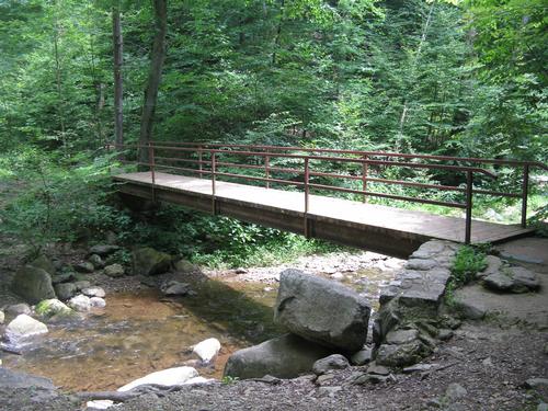
We walked about 20 minutes along the Link Trail which ended at a bridge that crossed the river
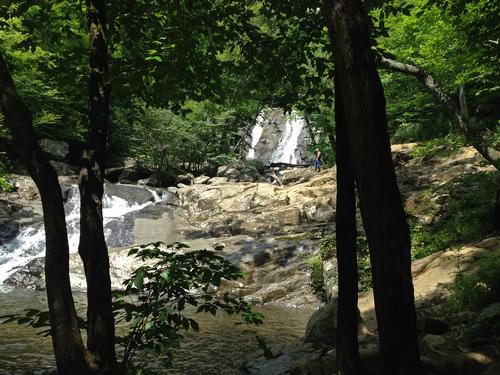
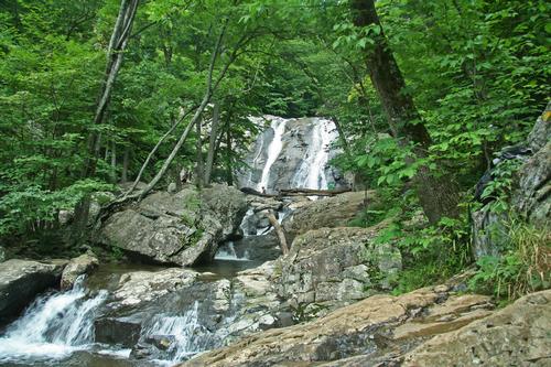
and we joined up with the White Oak Canyon trail towards the Lower White Oak Falls. This section
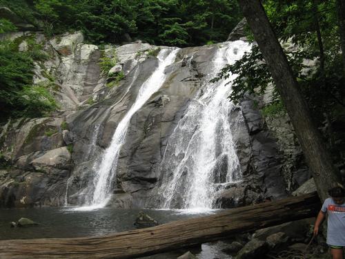
took about 45 minutes and we arrived at the Lower Falls which consists of a large pool being fed
by a pretty large waterfall. Just like pool at Cedar Run, the cool water made the air temperature
noticeably and agreeably cooler and provided a very comfortable, scenic place to stop. We found a
small ledge surrounded by running water and had a relaxing lunch. All that was needed was a
hammock and we could have stayed for several hours. (Note to self: Buy camp hammock the next
time I’m at a camping store).
After lunch we hike a little ways (1/4 mi) up the steep trail which took us above the lower falls to
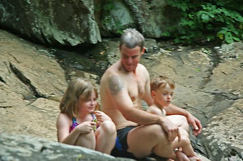
get a few good scenic views of the surrounding hills as well as people swimming below in the pool,
then decided to head back to the Lower Falls and then we took the White Oak Canyon trail back
along the river, crossed a stream and got back to the car. (“3” on the map).
Total time was 3 hours.
The only disappointment was that the bakery and café that we had hoped to stop at and get a
nice slide of cake was closed.
There are 17 photos in Album (Note: Move mouse pointer over larger pic and click on NEXT for better viewing)


|
|
||