Trip report
Mt Carrigain - Cabin Weekend Hike
Hiking/Walk DATE: 07/19/2014 - 07/19/2014
Trip/Event Location: Bethlehem, NH
US
Trip Leader(s): wildcat
Max # People: 12
Trip Guiding / Event Fee: No, I will not be asking participants for money
Difficulty Level: Strenuous
As part of the Bethlehem, NH cabin weekend, join us on a hike up Mt Carrigain, one of the 4000 footers at an elevation of 4682 feet. If you are staying at the cabin, please sign up for "NH Cabin
...We will car pool from the cabin to the trail head, leaving the cabin at 8:30 am. Directions to the cabin (copied from the trip listing for "NH Cabin Weekend").
From UMass: Interstate 91 North to Exit 17 in Vermont (near milepost 110) Right onto US Highway 302 East to Littleton, New Hampshire (about 25 miles) Right onto Interstate 93 South to Exit 40 (2 exits from your on-ramp) US Highway 302 East 3 miles to flashing yellow light in center of Bethlehem Right onto NH state highway 142 South 0.9 miles UMOC cabin gravel parking lot is on the right, entrance between two timber posts Trailhead at right rear corner of lot, follow ¼ mile up the hill to the cabin
From Boston: Interstate 93 North to Exit 37 in New Hampshire Right onto NH state highway 142 North 4.5 miles UMOC cabin gravel parking lot is on the left, entrance between two timber posts Trailhead at right rear corner of lot, follow ¼ mile up the hill to the cabin
Trip Report/Photos

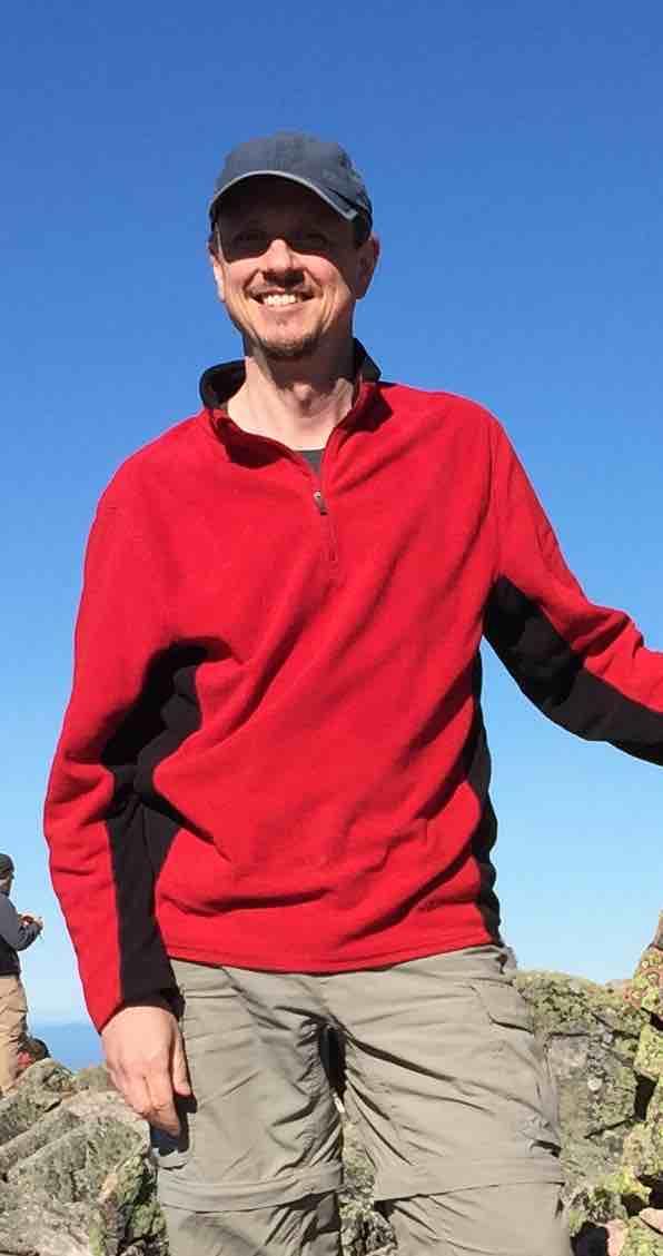
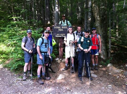
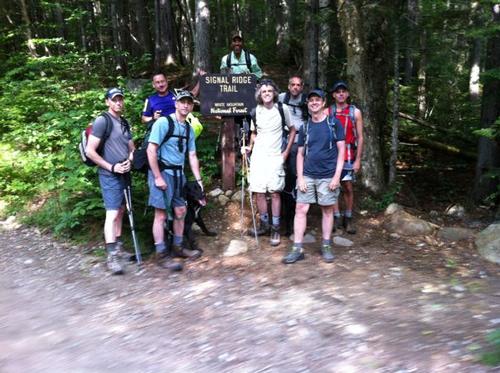
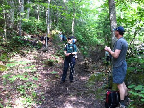
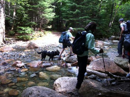
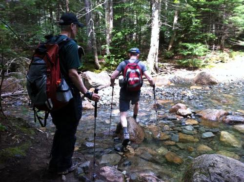
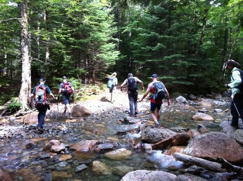
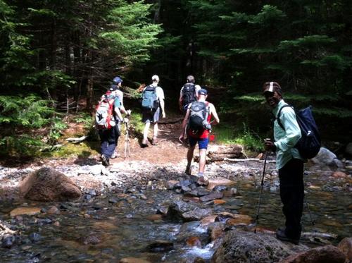
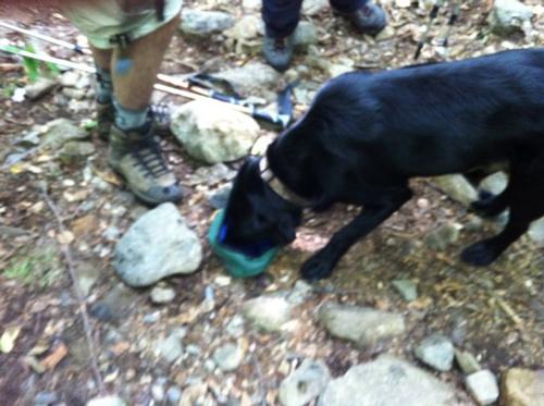
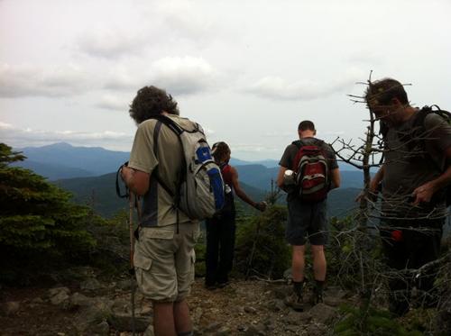
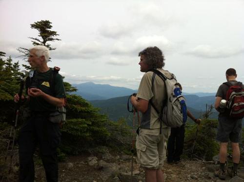
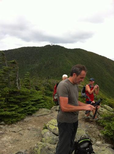
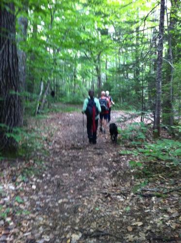
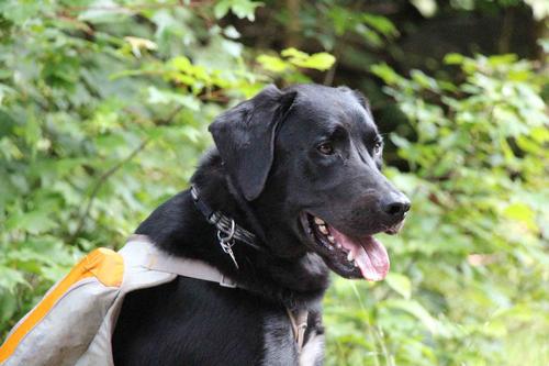
The participants of the UMOC cabin weekend trip (another trip listed on GO) and two additional GO members from Maine plus two black labs hiked up Mount Carrigain on July 19. The forecast had called for a sunny warm day, but there were some milky clouds limiting the sunshine. This kept the temperature down and made hiking quite enjoyable. We left the cabin at 8:20, met up with the other hikers at the trail head and started our ascent at 9:20.
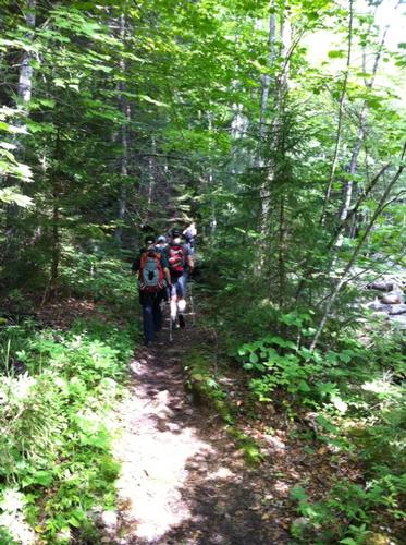
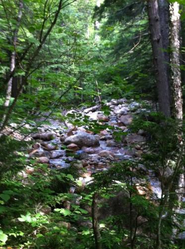
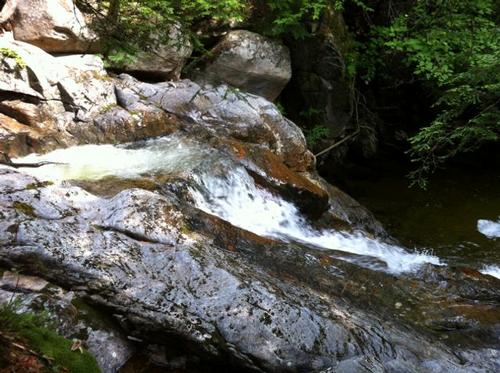
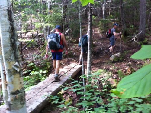
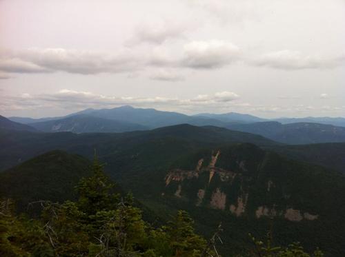
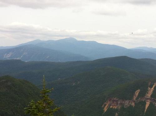
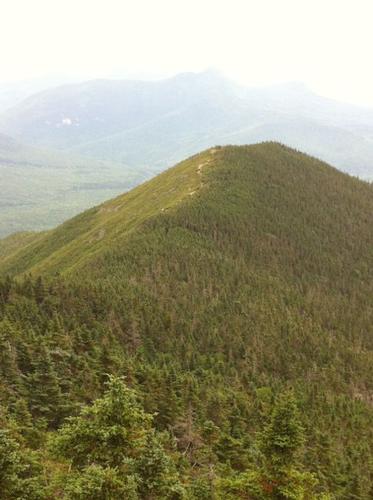
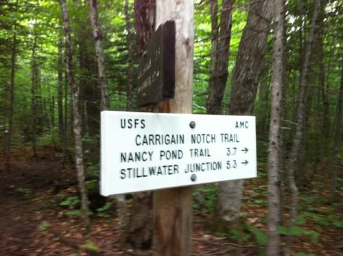
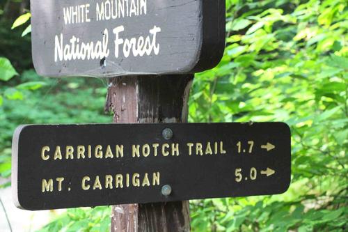
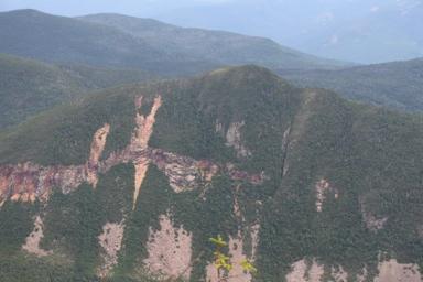
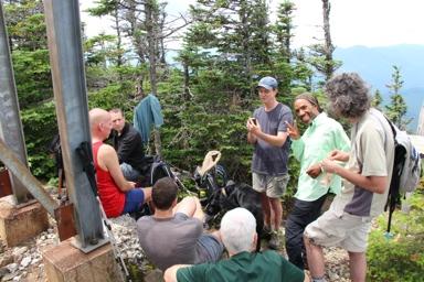
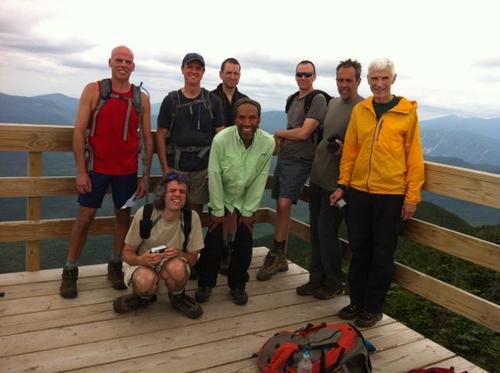
The Signal Ridge Trail leading up to Carrigain consists of three sections. The first follows the Sawyer Brook and a former logging road with only slight elevation gain, followed by the “ramp”, a more-or-less straight one mile section that has a constant moderatly steep slope. Finally the trail follows some switchbacks leading up to the Signal Ridge. We were greeted to spectacular views to the Presidential Range while enjoying our lunch. With new energy we made our final leg up to the observation tower on top of Carrigain. Now we had fantastic views to the South as well. It was just a little hazy, not bad at all for a summer day and all of the higher peaks in the Whites could be seen. Alex handed out Oreos to celebrate the moment.
Carrigain is a popular destination due to its unique central location in the Whites and we were among a crowd of maybe 20 hikers The trip definitely had some musical component going on. One of the dogs on our hike was “Bella” (2 L’s) and on top we met a Golden Retriever named “Bartok”. Indulging in silky-smooth Dove chocolates and reading the messages inside the wrappers led to a spontaneous outburst of singing a popular oldie.
After a relaxing hour on top of Carrigain, we started our descent. We were back at the parking lot shortly after 4 pm having hiked 10 miles and 3300 ft in elevation gain. On the drive back to the cabin we stopped at the Davis Path parking lot and a few of us took a very refreshing dip in the Saco River. We headed back to the cabin and socialized in the evening.
Thanks to everyone for making this a fun and memorable trip. A warm welcome to Tom (and his dog Bailey) as brand new member to GO. Until next time!
There are 27 photos in Album (Note: Move mouse pointer over larger pic and click on NEXT for better viewing)
|
|
||