

HIKES & EVENTS
GREAT OSSIPEE (MT SHAW) HIKE
Hiking/Walk
DATE: Sep 02, 2018
END DATE: Sep 02, 2018
Hike/Event Location: Tuftonboro NH
Trip Leader(s)
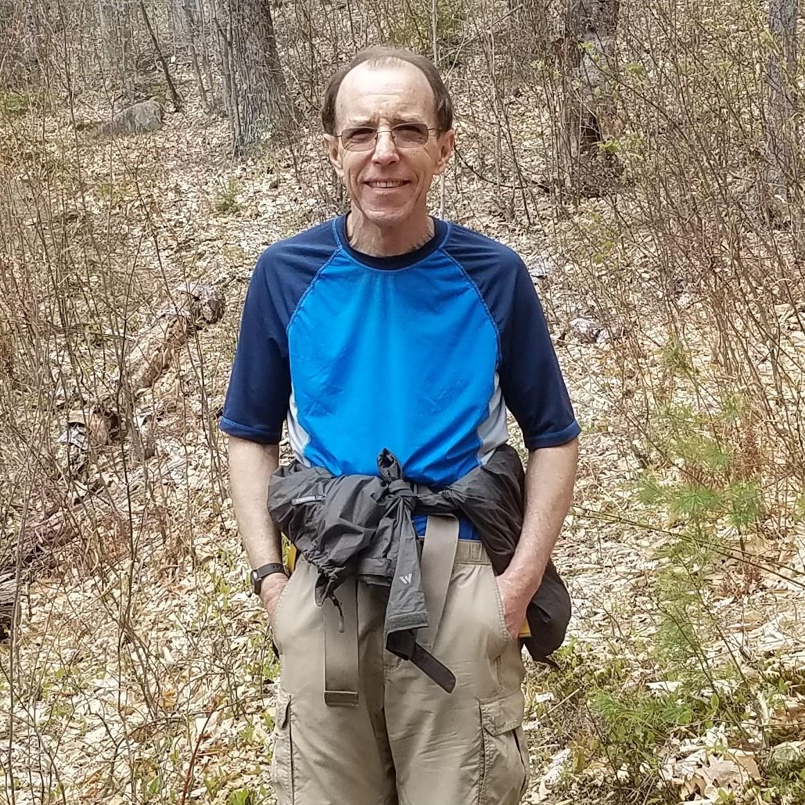
jonathanclark
Hartford, CT United States
Meeting Time: 10:30 AM
Max # People: 12
Hike Guiding / Event Fee: No, I will not be asking participants for money
Hike Difficulty Level:
Moderate to Strenuous
(Do you qualify to attend with this hike difficulty rating? Click Here.)
Sign Up To This Trip/Event
You must be a least a guest member to participate. Comments such as "+1" or "bringing a friend" are NOT permitted. All participants must sign-up for the event individually.
Select your mode of transportation, make any comments and then click on button.
You are not logged in.
Please, Log In
Summary
Please join me for a hike to the summits of Black Snout (2803') and Mt Shaw (2990'), highest "peaks" in the Ossipee Mountains. The overall moderate roundtrip is 7.6 miles which includes a 1/2 mile somewhat strenuous section just before joining the old carriage road (from Castle in the Clouds) which then takes us easily to both summits with views of Lake Winnipesaukee (from Black Snout) and the Whites (from Shaw). Please come with a daypack, lunch, plenty of water and layers (depending on the forecast). Since there's very limited parking at the trailhead, anyone coming along Route 25W ( from Maine) and Route 16N is welcome to come to my house in Center Ossipee (1 mile from the junction of 25 E/W and 16 N/S) and carpool from there. If interested, please contact to get address and directions.
Directions To Trailhead Parking Lot
The Shaw Trailhead is located just off Rte 171 in Tuftonboro, New Hampshire.
From Rt. 16N (from Boston/Portsmouth):
- From Rt. 16 in Ossipee, take Rt. 171 west (Old Granite Road which turns into Mountain Road after crossing route 28).
- The trailhead is 9.7 miles west of the junction of routes 171 and 28.
- There's a small parking area on the right (north) side of the road, just before a bridge over Fields Brook; on the other side of the bridge on the left side of the road is Sodom Road which you can use as a "you've just missed the trailhead" marker.
- There are no trailhead signs.
From I-93:
- Take exit 23 off of I-93 and follow Rt. 104 east for about 8 miles until it ends in Meredith.
- Turn left onto Rt. 3 and go about 0.8 mile to a traffic light just beyond the public docks.
- Turn right onto Rt. 25 and travel 10.1 miles passing through Moltonborough village.
- Turn right onto Rt. 109 and go 2.2 miles.
- Turn left onto Rt. 171 east and follow it for 3.9 miles.
- You will pass Sodom Road on the right, immediately cross a bridge over Fields Brook, then you should immediately turn left into the small trailhead parking area.
- There are no trailhead signs.
For anyone driving up Route 16N or coming on Route 25W converging in Center Ossipee, there's the possibility of carpooling from my cottage which is just a mile off this intersection. If interested, just let me know and I'll send additional directions and property address.
Trip Leader

 Invite To Be Your Buddy
 Send Email
- Online Status: OFFLINE
- Last Login: 03/31/2024 07:18 PM
- Member Since: 10/23/2008
- Approved By: TrailGuyEric
members signed up for this event

- Online Status: OFFLINE
- Last Login: 04/15/2024 08:44 PM
- Member Since: 08/14/2004
- Driving My Own Car
(Willing to give guys a ride)

- Online Status: OFFLINE
- Last Login: 04/16/2024 08:32 PM
- Member Since: 10/30/2001
- Driving My Own Car
(Willing to give guys a ride)
- Online Status: OFFLINE
- Last Login: 04/17/2024 02:18 PM
- Member Since: 10/02/2002
- Driving My Own Car
(Willing to give guys a ride)

- Online Status: OFFLINE
- Last Login: 12/22/2022 12:18 PM
- Member Since: 02/03/2018
- I Already Have A Ride
- Comment: I will be riding with Thad and Joe
 |
 |
