

HIKES & EVENTS
HIKE FOR EQUALITY: Monroe and Franklin
Hiking/Walk
DATE: Jun 10, 2017
END DATE: Jun 10, 2017
Hike/Event Location: Bretton Woods NH
Trip Leader(s)
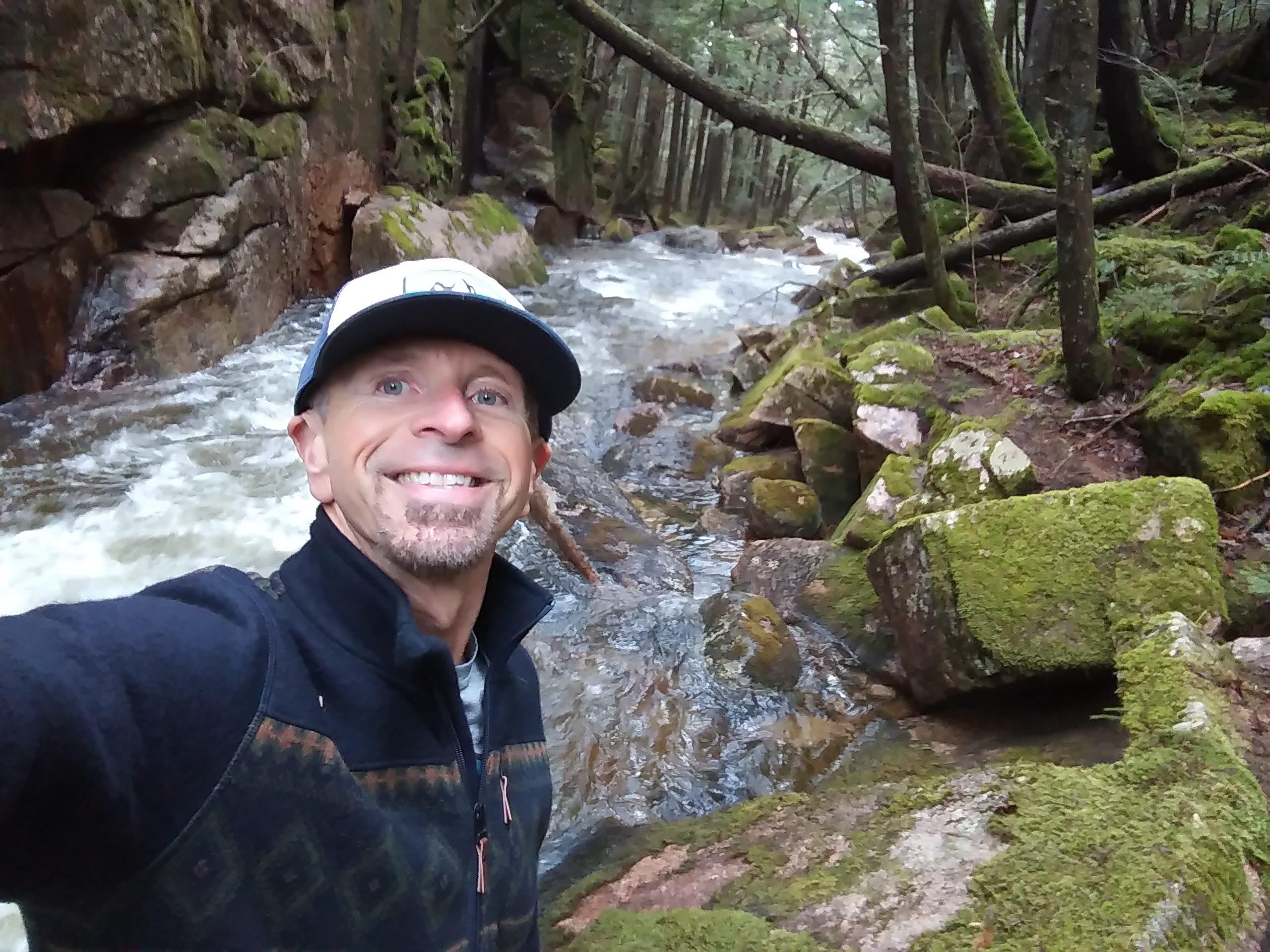
Gandalf
Thornton, NH United States,
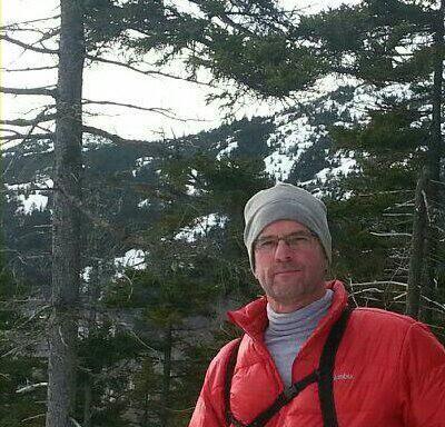
JDNnh
Thornton, NH United States
Meeting Time: 9:30 AM
Max # People: 15
Hike Guiding / Event Fee: No, I will not be asking participants for money
Hike Difficulty Level:
Moderate to Strenuous
(Do you qualify to attend with this hike difficulty rating? Click Here.)
Sign Up To This Trip/Event
You must be a least a guest member to participate. Comments such as "+1" or "bringing a friend" are NOT permitted. All participants must sign-up for the event individually.
Select your mode of transportation, make any comments and then click on button.
You are not logged in.
Please, Log In
Summary

Celebrate Pride with a FUN hike on these 5,000 footers in the southern Presidentials followed by a social BBQ/swim at the Mad River Lodge! We’ll provide rainbow flags to all participate to stick outside their packs to create our own pride march!
Mount Monroe, [5,372'] is an excellent alternative to its more famous neighbor, Mt. Washington, offering superb views! The highest of the Southern Presidentials, it provides a wonderful craggy throne for gazing at Oakes Gulf and the Dry River valley, down the twisting Southern Presidential ridge, and up to massive Mt. Washington with the Lakes of the Clouds nestled beneath. THE RARE ALPINE FLOWERS WILL BE IN FULL BLOOM!!!...bring your alpine wildflower book.
We will car spot, so we can enjoy the magnificent open ridge walk over Mt. Franklin [5,001'] on the Crawford Path, a little alpine bump that has an interesting view looking down into the Dry River valley from the brink. We'll descend via the Edmands Path.
Round trip distance: 8.2 miles
Vertical feet: 2,950
Approximate time: 7 hours
We will ascend up the Ammonoosuc Ravine Trail with a stop at Lake of the Clouds and the AMC hut. On the Ammonoosuc Ravine Trail, there is a very steep, rough ascent. We'll then hike the Crawford Path to the Mount Monroe Loop. After reaching the summit of Mount Monroe, we’ll continue to enjoy the magnificent open ridge walk over to Mt. Franklin. Before reaching Mount Eisenhower, we’ll hike off the ridge and back to our vehicles using the Edmands Path.
What to wear/bring: Wear clothing suitable for the hike in layers...no cotton or blue jeans. Have a rain jacket in the event of inclement weather. Bring along plenty of water (at least 2 liters), lunch, snacks and anything else you may require for a day hike. Contact us if you have any questions.
Boston Area Carpooling: Save money by sharing gas/toll expenses and get to know fellow GO members better! Don't be shy. Contact other Bostonians to find a convenient location for you to meet such as a T-Stop, Commuter Line Stop, or a parking lot of a store familiar to you all! Don't forget to tip the driver!
Afterwards: Everyone is welcome to join us back at our house in Waterville Valley for a swim in the Mad River, relax on our deck [BYOB and bring snacks] and a BBQ! We ask $10 per person to help pay for our food costs. Please let us know you will join us for the BBQ so we have enough food. Showers are available to freshen up so bring a change of clothing to make your visit with us more comfortable.
Lodging Option: Bunk beds are available at our house [with Wi Fi] near Waterville Valley, NH for Friday and/or Saturday nights. It's $25 for Friday night, $35 for Saturday that includes dinner or $60 for the weekend. Coffee/bagels each morning and linen/blankets/towels are provided. Space is limited so email ASAP to reserve a bunk!
Directions To Trailhead Parking Lot

We are meeting at the Edmands Path trailhead, drop some cars off and CARPOOL to the start: Ammonoosuc Ravine trailhead. To reach the Edmands Path, turn off US 302 at Fabyan onto the Base Road leading to the cog railway's base station. Soon Mt. Washington and Mt. Monroe comes into sight. Drive on the Base Road about 5 miles to an intersection. Turn right. You are now on the Mount Clinton Road. Drive 1.5 miles from the four corners. And drive carefully; there's a startling 90-degree curve around 0.5 miles before the trailhead. The parking area is on the left. It fills up quickly so we may have to park along the road.
Trip Leader(s)

 Invite To Be Your Buddy
 Send Email
- Online Status: OFFLINE
- Last Login: 04/17/2024 02:46 PM
- Member Since: 08/20/2001
- Approved By: Gandalf
- Online Status: OFFLINE
- Last Login: 04/16/2024 08:45 AM
- Member Since: 10/30/2001
- Approved By: Gandalf
members signed up for this event
- Online Status: OFFLINE
- Last Login: 09/13/2021 10:42 AM
- Member Since: 02/08/2016
- Driving My Own Car
(Willing to give guys a ride)

- Online Status: OFFLINE
- Last Login: 02/24/2024 08:52 PM
- Member Since: 09/10/2016
- Driving My Own Car
(Willing to give guys a ride)
 |
 |
